


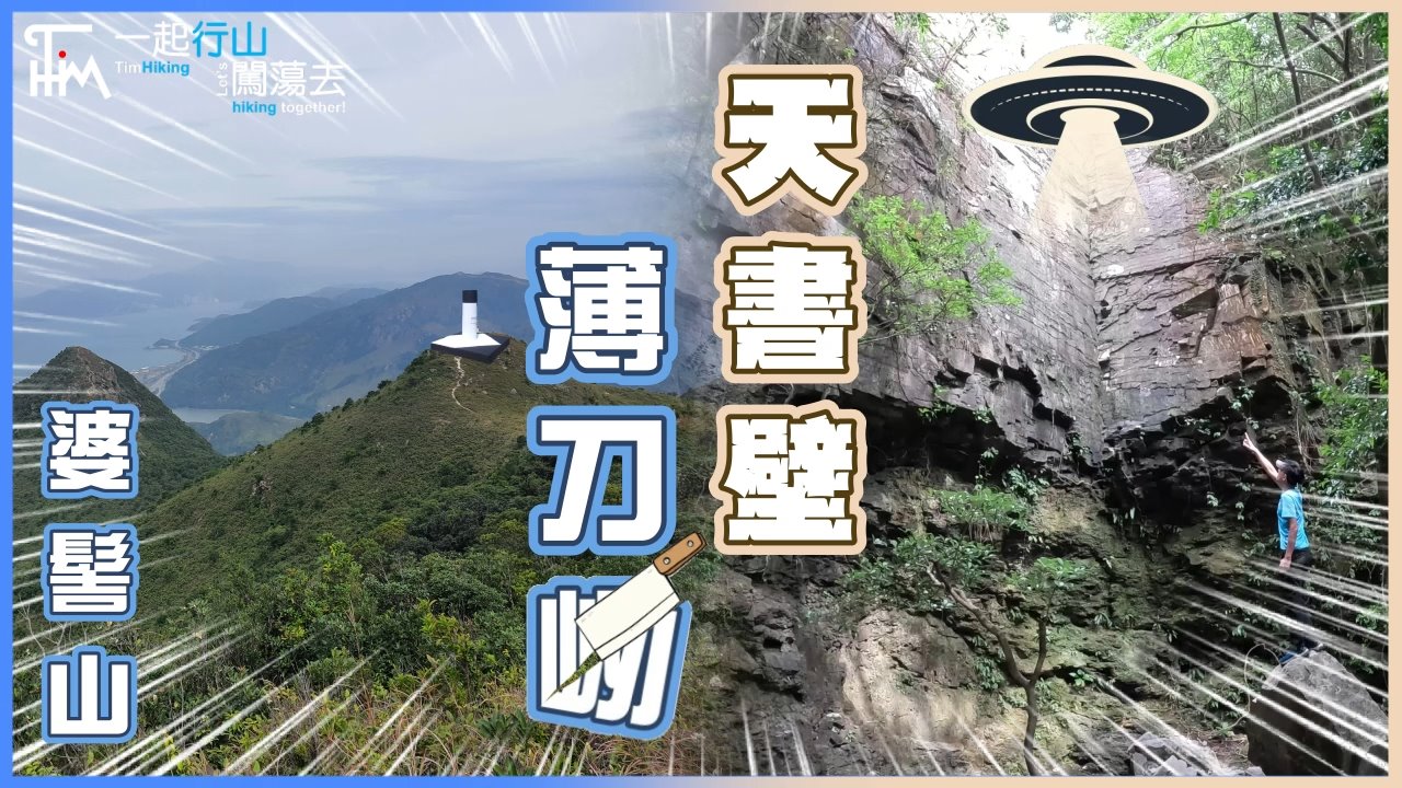
 Recommend YouTube


| View : |  | ||
| Difficulty : |  | ||
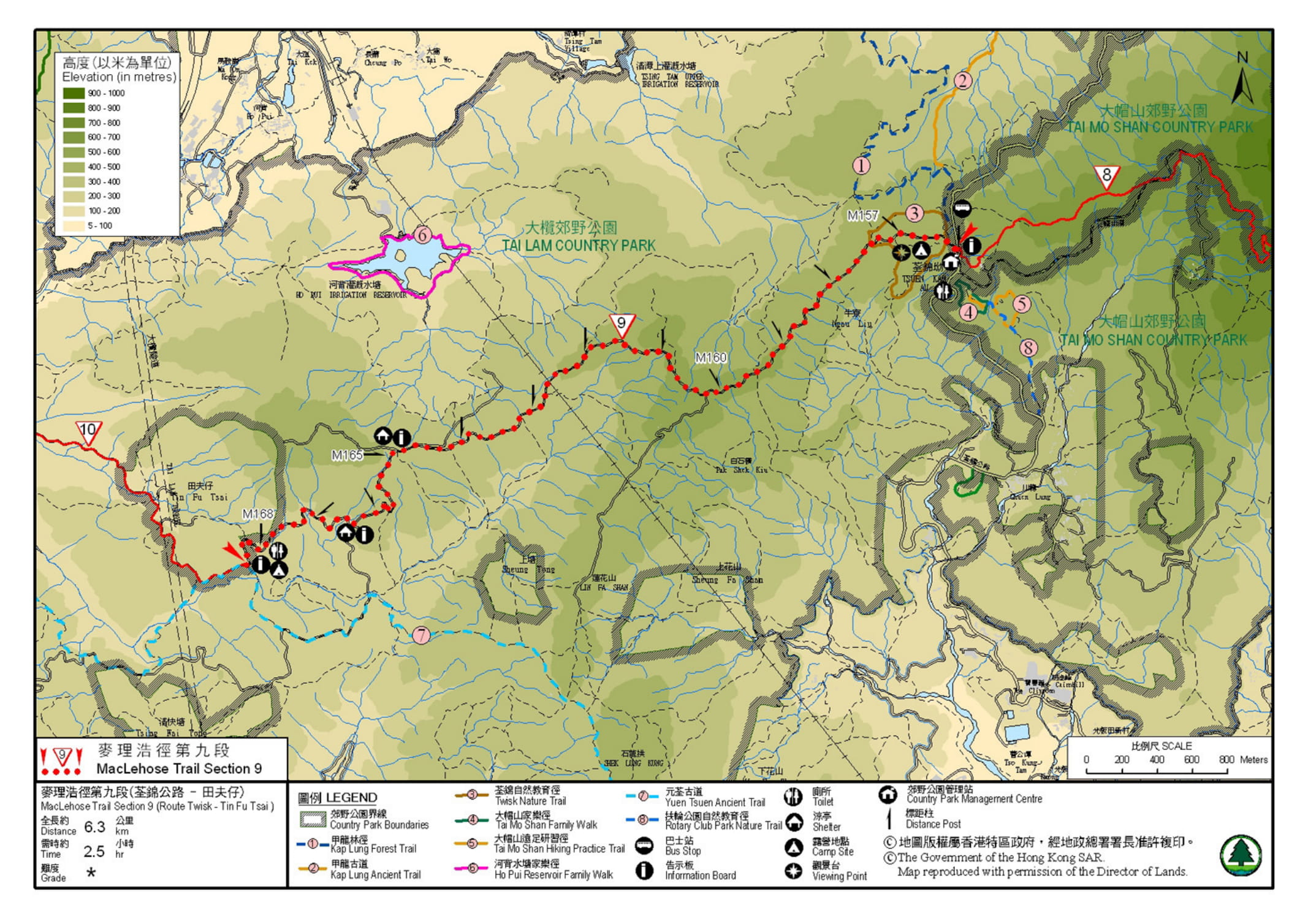
| Path : | |||
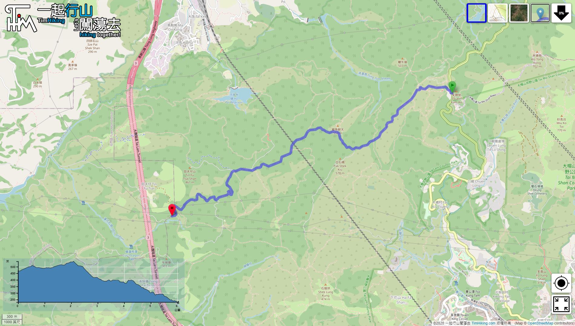
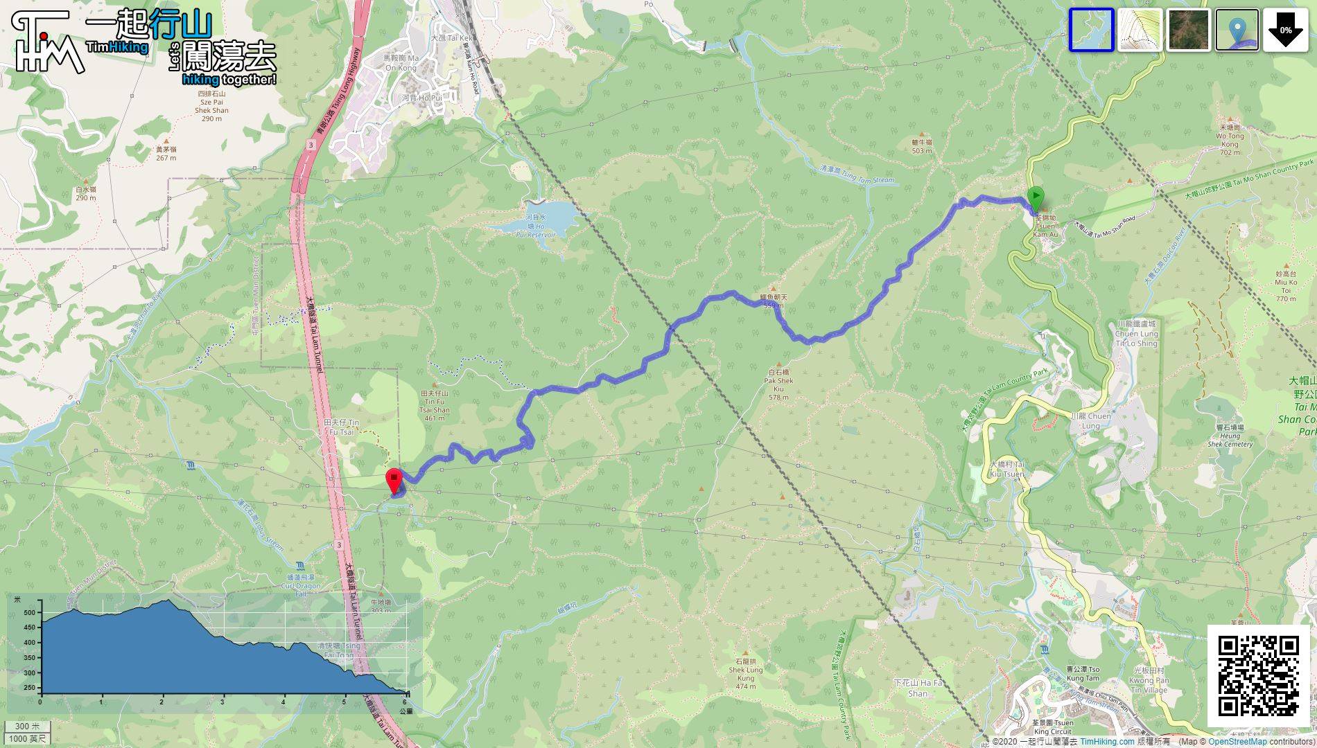
| Length : | 6.3km | ||
| Time : | 2hours | ||
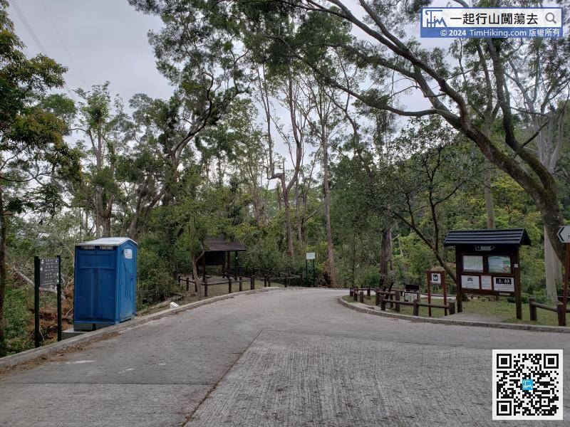
| 【 Tsuen Kam Campsite 】 | |||
| Toilet : | Outhouse, Portable Toilets | ||
| Water : | Tap | ||
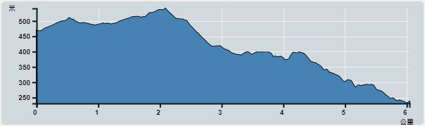 | |
| Ascent : 224m | Descent : 476m |
| Max : 541m | Min : 227m |
| (The accuracy of elevation is +/-30m) | |


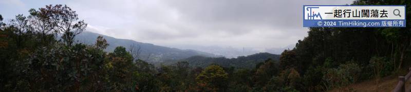
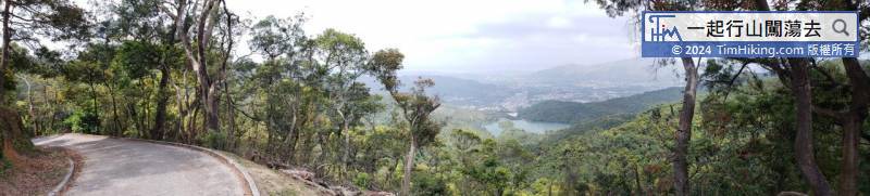
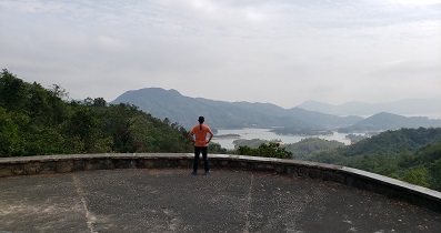
Besides the railing, can see the scenery of Tsuen Wan and Tsing Yi in the distance, and the Stonecutters Bridge is also clearly visible.
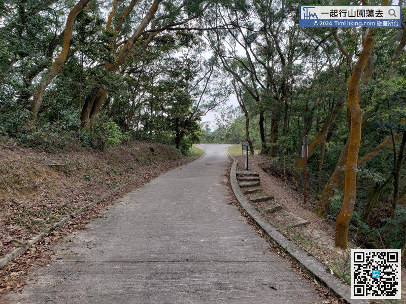
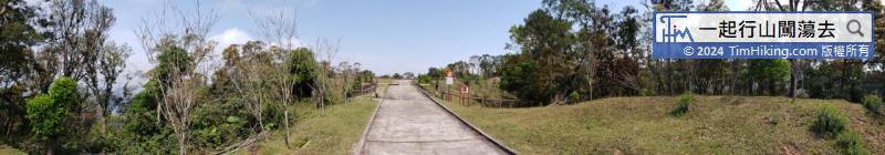
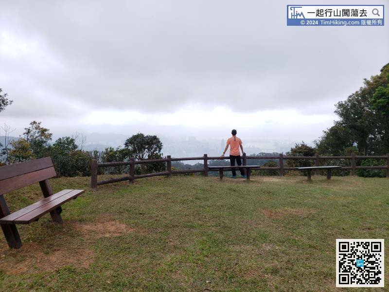
After enjoying the 360-degree mountain view of Pat Heung Fire Lookout, turn back on the original road and continue along MacLehose Trail.
Official Map


