


 Recommend YouTube


| View : |  | ||
| Difficulty : |  | ||
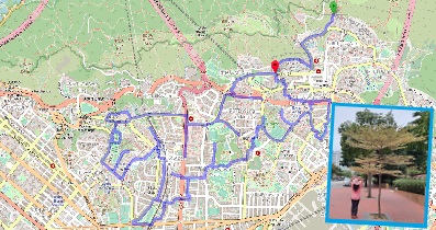
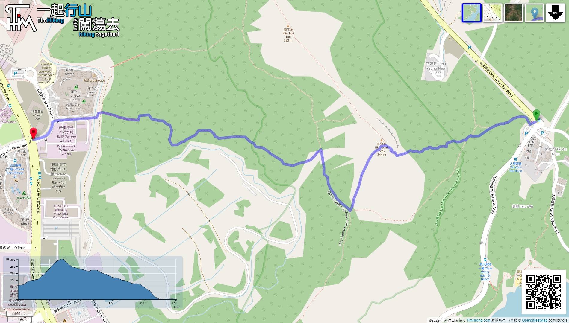
| Path : | |||
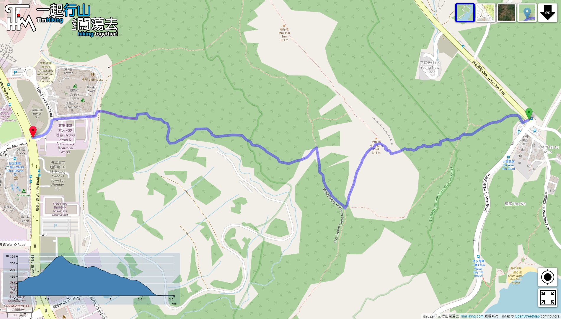
| Length : | 2.6km | ||
| Time : | 1½hours | ||
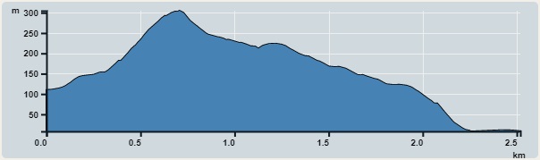 | |
| Ascent : 217m | Descent : 317m |
| Max : 305m | Min : 8m |
| (The accuracy of elevation is +/-30m) | |


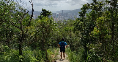
 4︰then go Sheng Kee Store.
 9︰Go straight up at the first intersection. The trails on the left and right are not shown on the map, but they are very wide and clear.
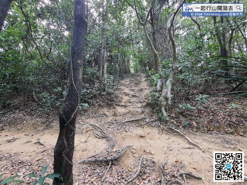
Go straight up at the first intersection. The trails on the left and right are not shown on the map, but they are very wide and clear.
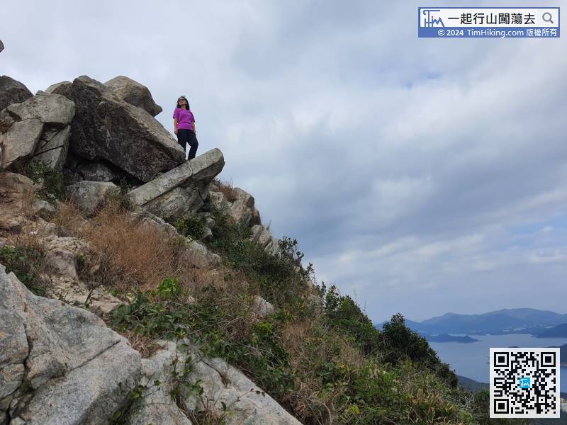
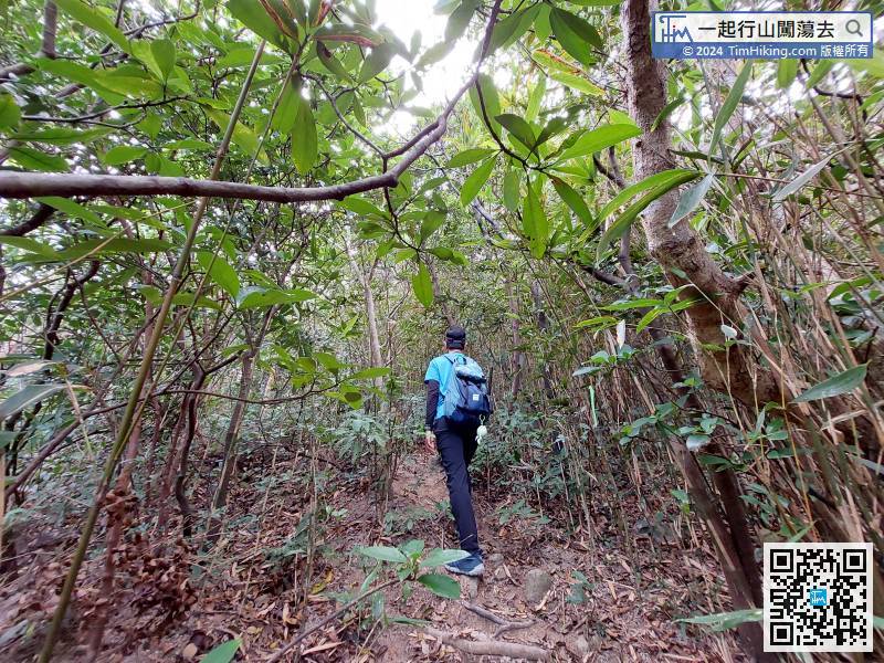
16︰pay attention to the narrow barren trail on the right,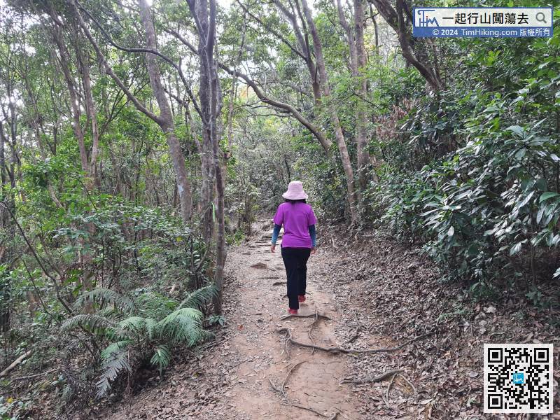
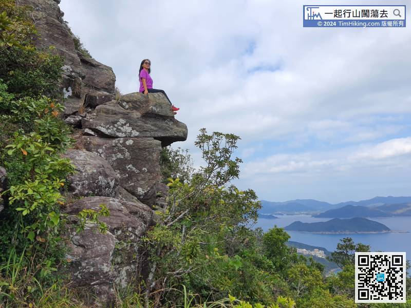
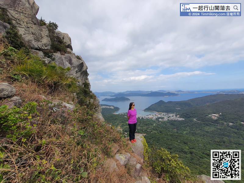
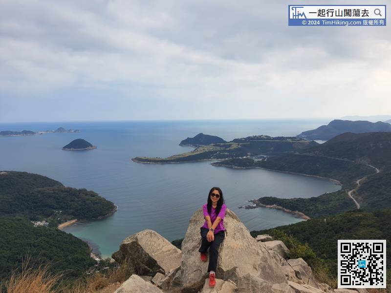
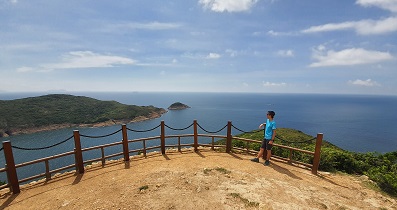
 30︰and soon will come to the Eagle Head Rock.
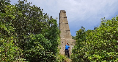
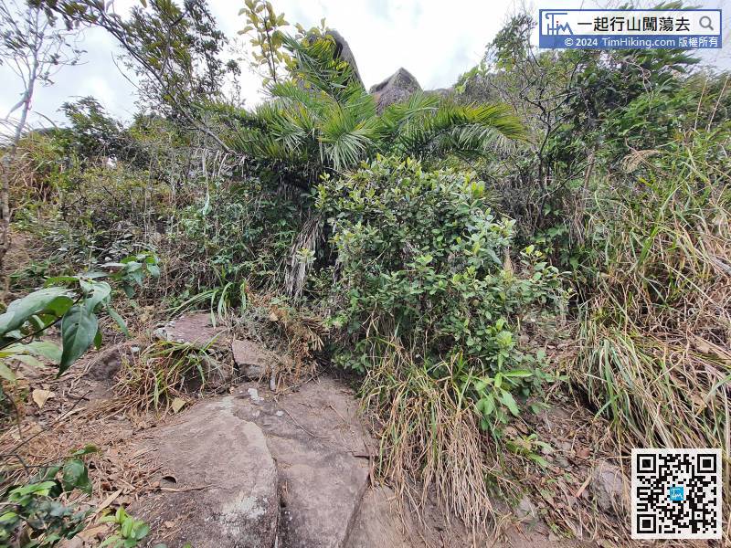 39︰There is a Trigonometrical Station at the highest position,
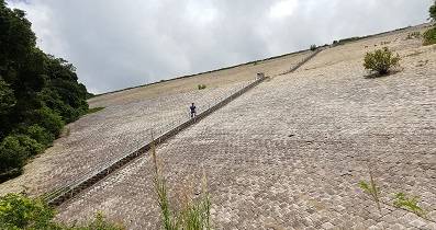
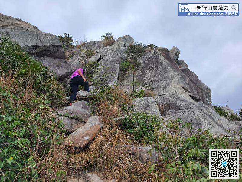 46︰When arriving at the bottom of slope, it will join High Junk Peak Country Trail, turn left to return to the Tai Au Mun roundabout,
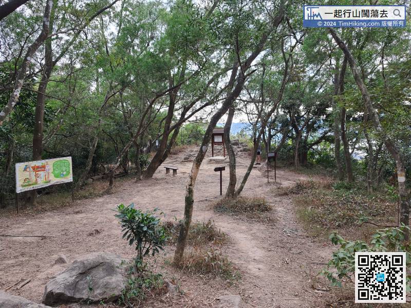
When arriving at the bottom of slope, it will join High Junk Peak Country Trail, turn left to return to the Tai Au Mun roundabout,
51︰and come to a bifurcation of a stream. Do not go straight up the stairs,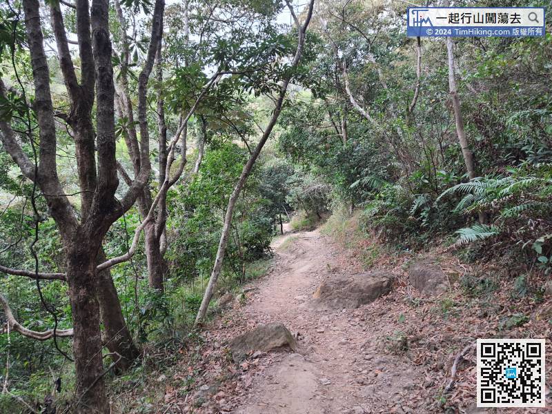 65︰Keep to the left, walk on the concrete road
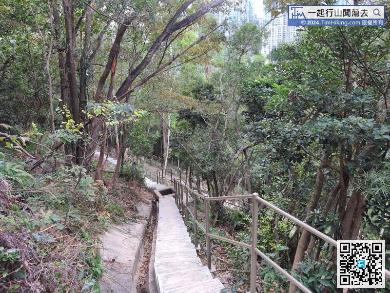


