


 Recommend YouTube


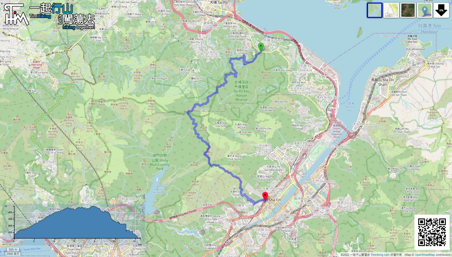
| View : |  | ||
| Difficulty : |  | ||
| Path : | |||
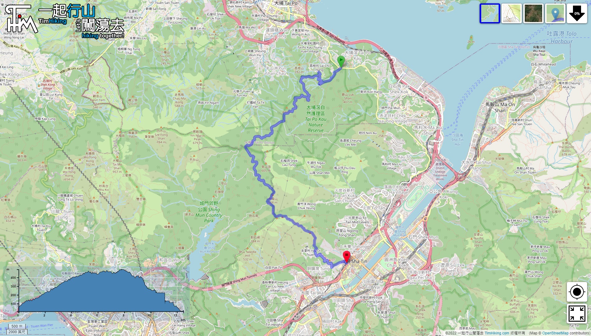
| Length : | 12.5km | ||
| Time : | 3½hours | ||
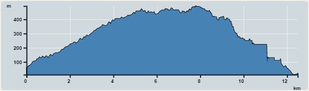 | |
| Ascent : 923m | Descent : 953m |
| Max : 494m | Min : 10m |
| (The accuracy of elevation is +/-30m) | |


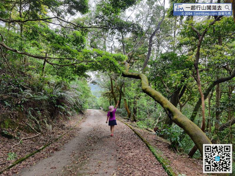
 19︰at the next fork,
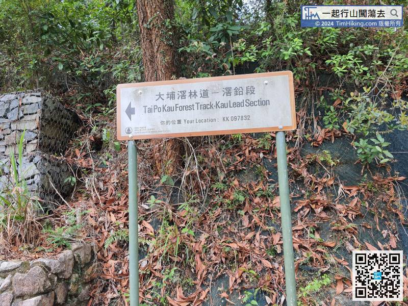 29︰There are also many forks,
 49︰There are many signs along the way,
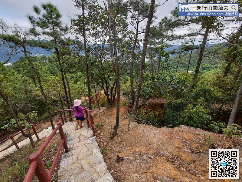
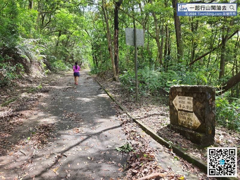 58︰there is a big archway on the left that points to Shatin Town.
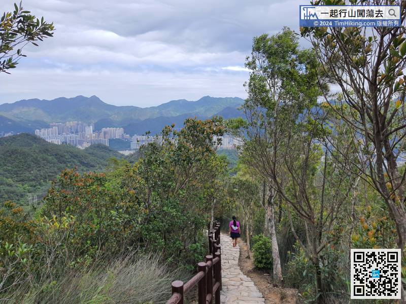
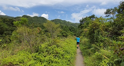
 66︰The scenery along the way down is very good,
The step section is very long, and it can be regarded as an infinite step.


