


 Recommend YouTube

| View : |  | ||
| Difficulty : |  | ||
| Path : | |||
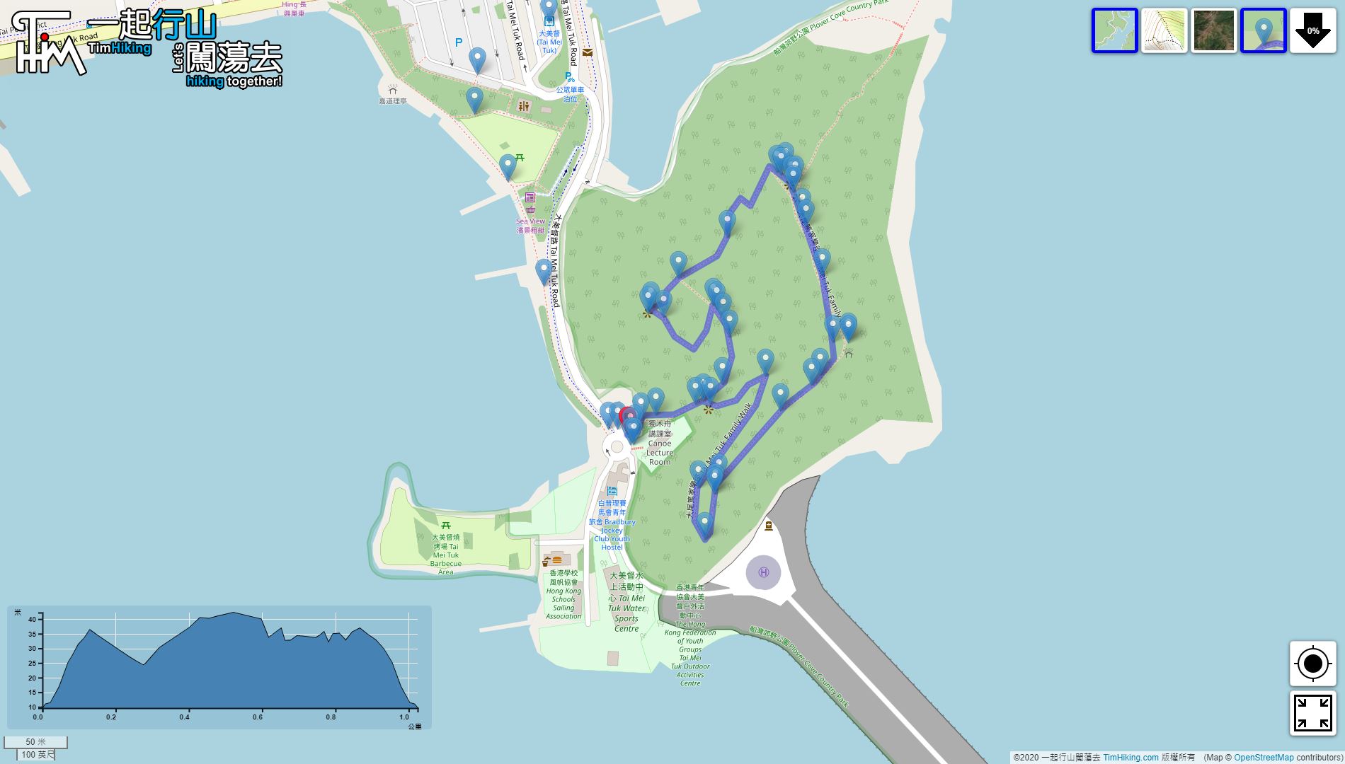
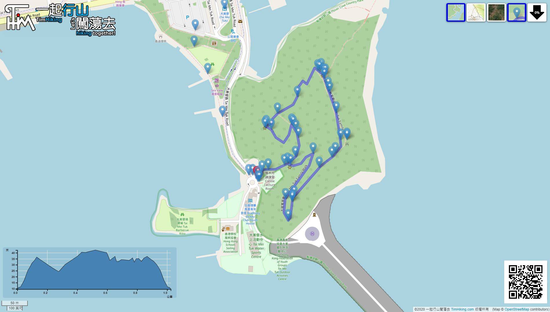
| Length : | 1.1km | ||
| Time : | ½hours | ||
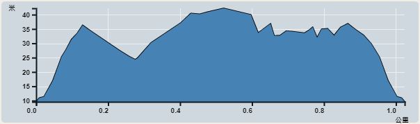 | |
| Ascent : 64m | Descent : 64m |
| Max : 44m | Min : 10m |
| (The accuracy of elevation is +/-30m) | |


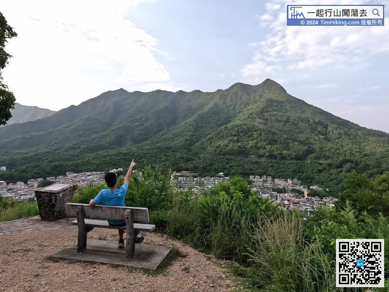
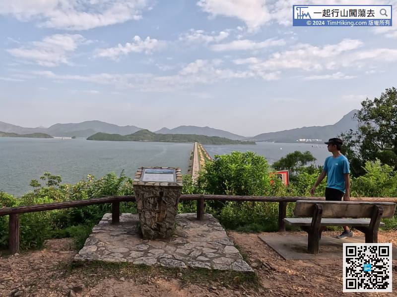
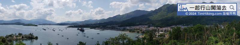
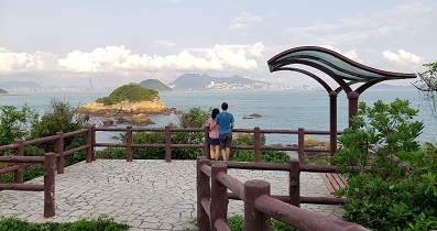
 34︰The Viewing Point on the left-hand side mainly introduces the 8 peaks of Pat Sin Leng

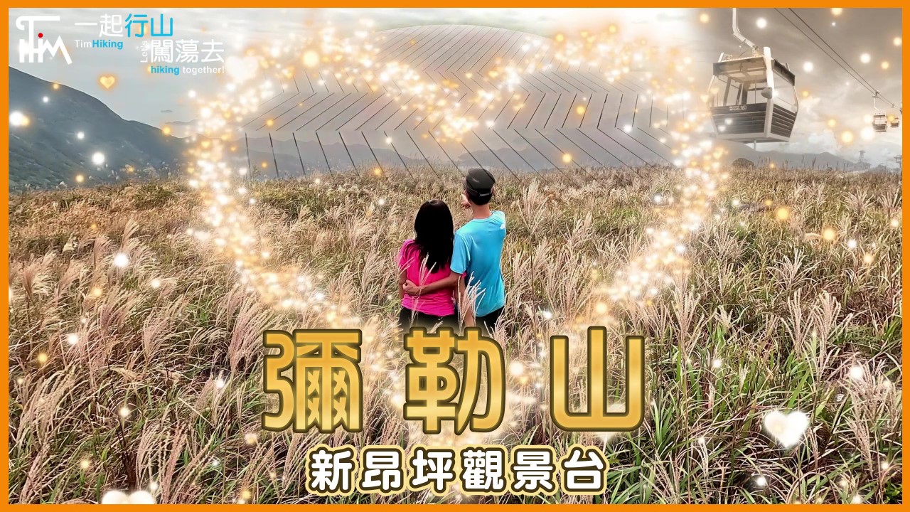
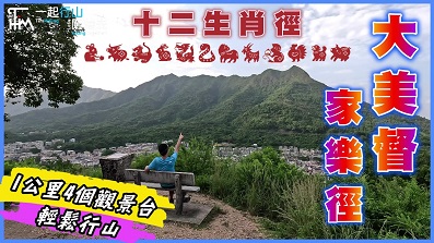
 Tai Mei Tuk Family Trail
| View : | | ||
| Difficulty : | | ||
| Path : | |||
| Length : | 1.1km | ||
| Time : | ½hours | ||
| |
| Ascent : 64m | Descent : 64m |
| Max : 44m | Min : 10m |
| (The accuracy of elevation is +/-30m) | |
34︰The Viewing Point on the left-hand side mainly introduces the 8 peaks of Pat Sin Leng
Thanks a lot! Hope our hiking information is helpful to you. Everyone is happy to go hiking and safely!
Welcome to use Payme AlipayHK to sponsor Tim Sir's efforts! Continue to give selflessly for the mountain world.
And all things, whatsoever ye shall ask in prayer, believing, ye shall receive.
Matthew 21:22

一起爬山闖蕩去 | timhiking | timhiking | timhiking | Message Board | Disclaimer


