


 Recommend YouTube

| View : |  | ||
| Difficulty : |  | ||
| Path : | |||
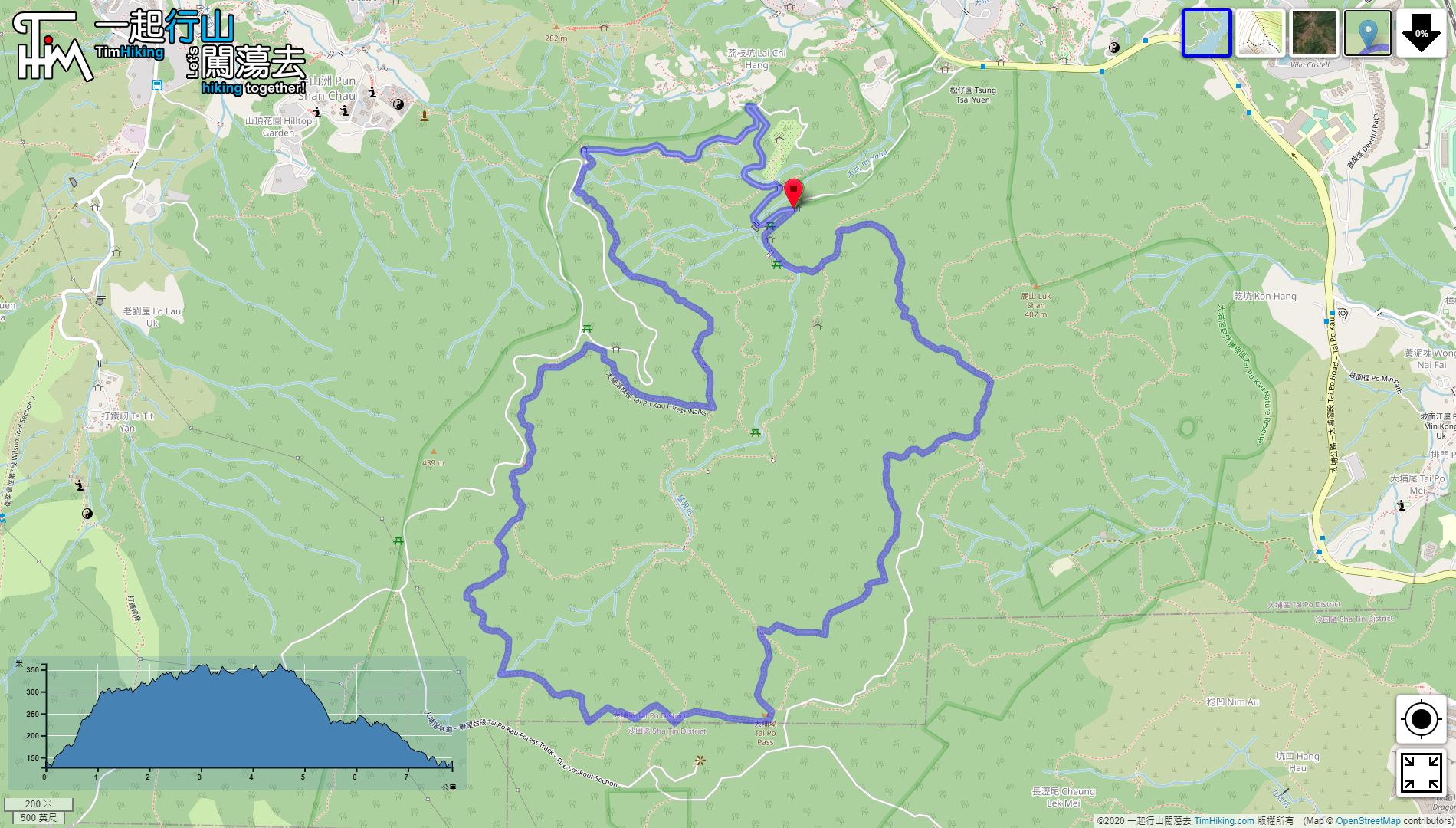
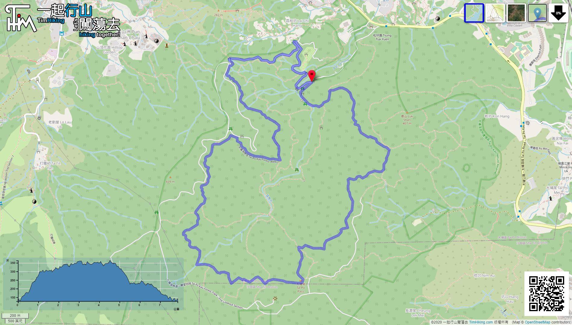
| Length : | 7.8km | ||
| Time : | 2½hours | ||
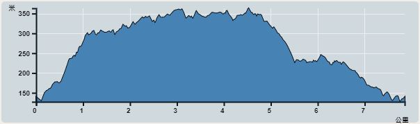 | |
| Ascent : 407m | Descent : 356m |
| Max : 363m | Min : 127m |
| (The accuracy of elevation is +/-30m) | |


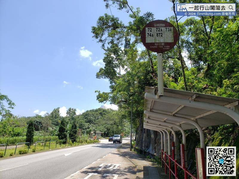
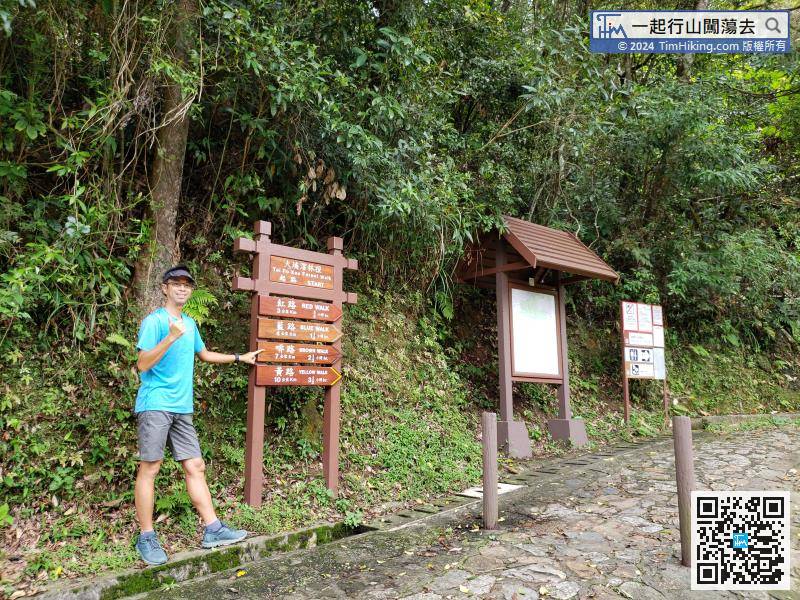
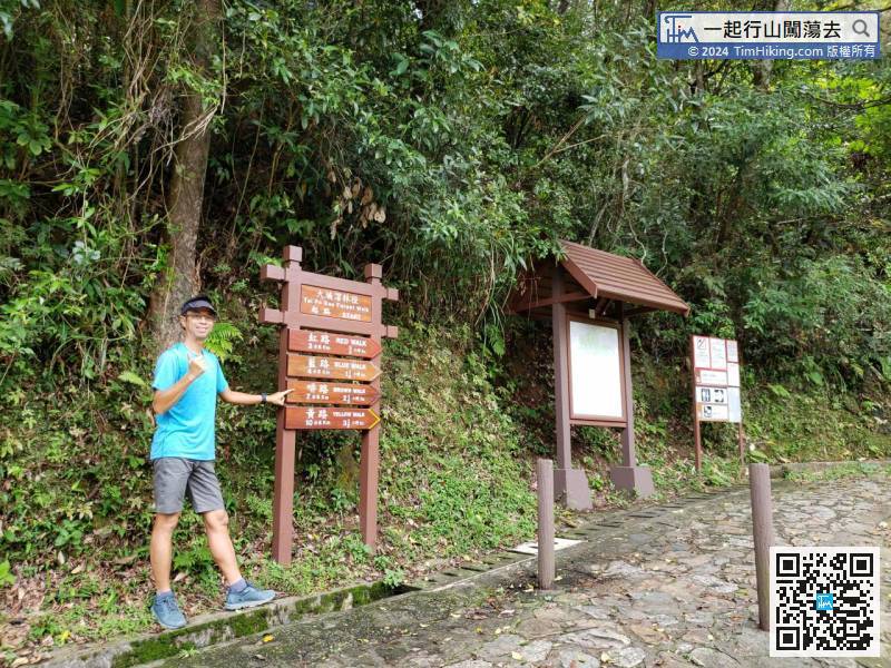
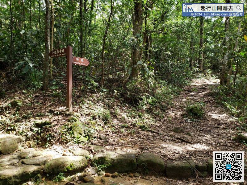
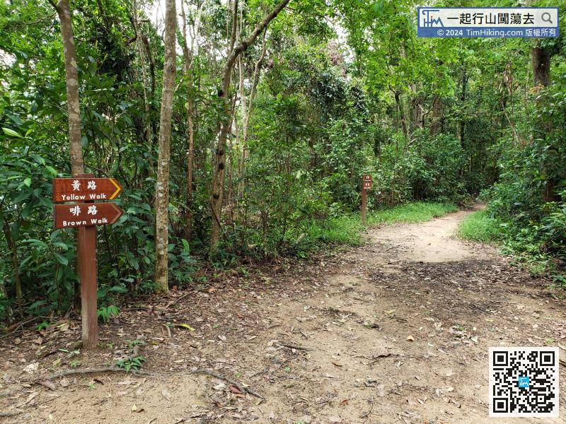
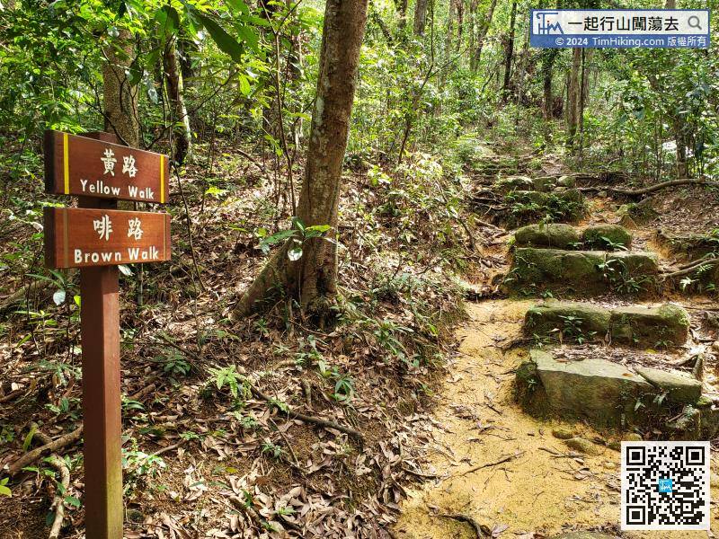
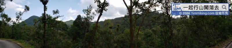
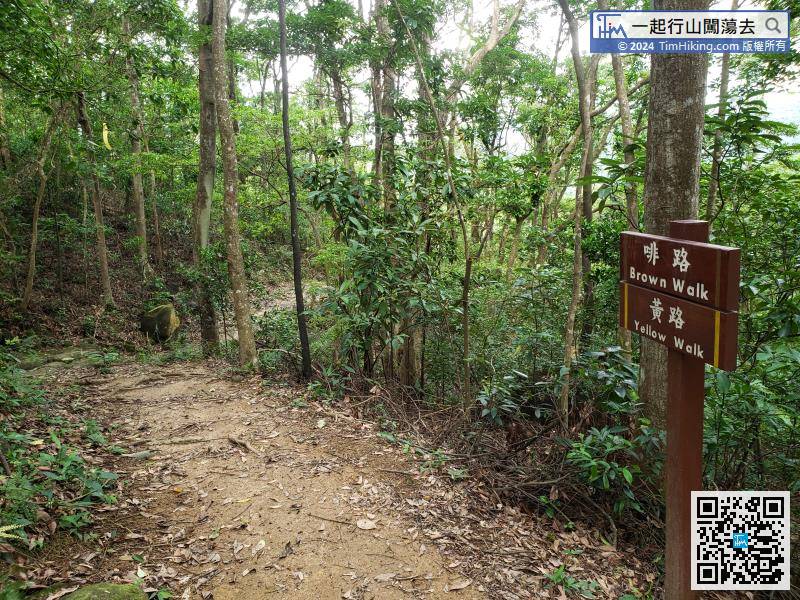
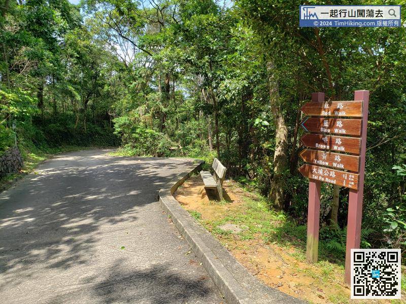
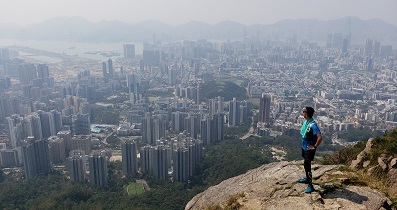
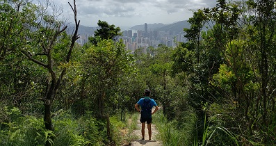
This time will go on Brown Walk, which is the third longest in Tai Po Kau Forest Walk.


| View : | | ||
| Difficulty : | | ||
| Path : | |||
| Length : | 7.8km | ||
| Time : | 2½hours | ||
| |
| Ascent : 407m | Descent : 356m |
| Max : 363m | Min : 127m |
| (The accuracy of elevation is +/-30m) | |
Thanks a lot! Hope our hiking information is helpful to you. Everyone is happy to go hiking and safely!
Welcome to use Payme AlipayHK to sponsor Tim Sir's efforts! Continue to give selflessly for the mountain world.
And we have seen and had faith in the love which God has for us. God is love, and everyone who has love is in God, and God is in him.
1 John 4:16 BBE
一起爬山闖蕩去 | timhiking | timhiking | timhiking | Message Board | Disclaimer


