


 Recommend YouTube

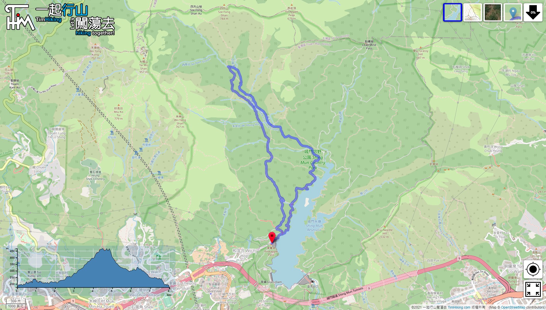

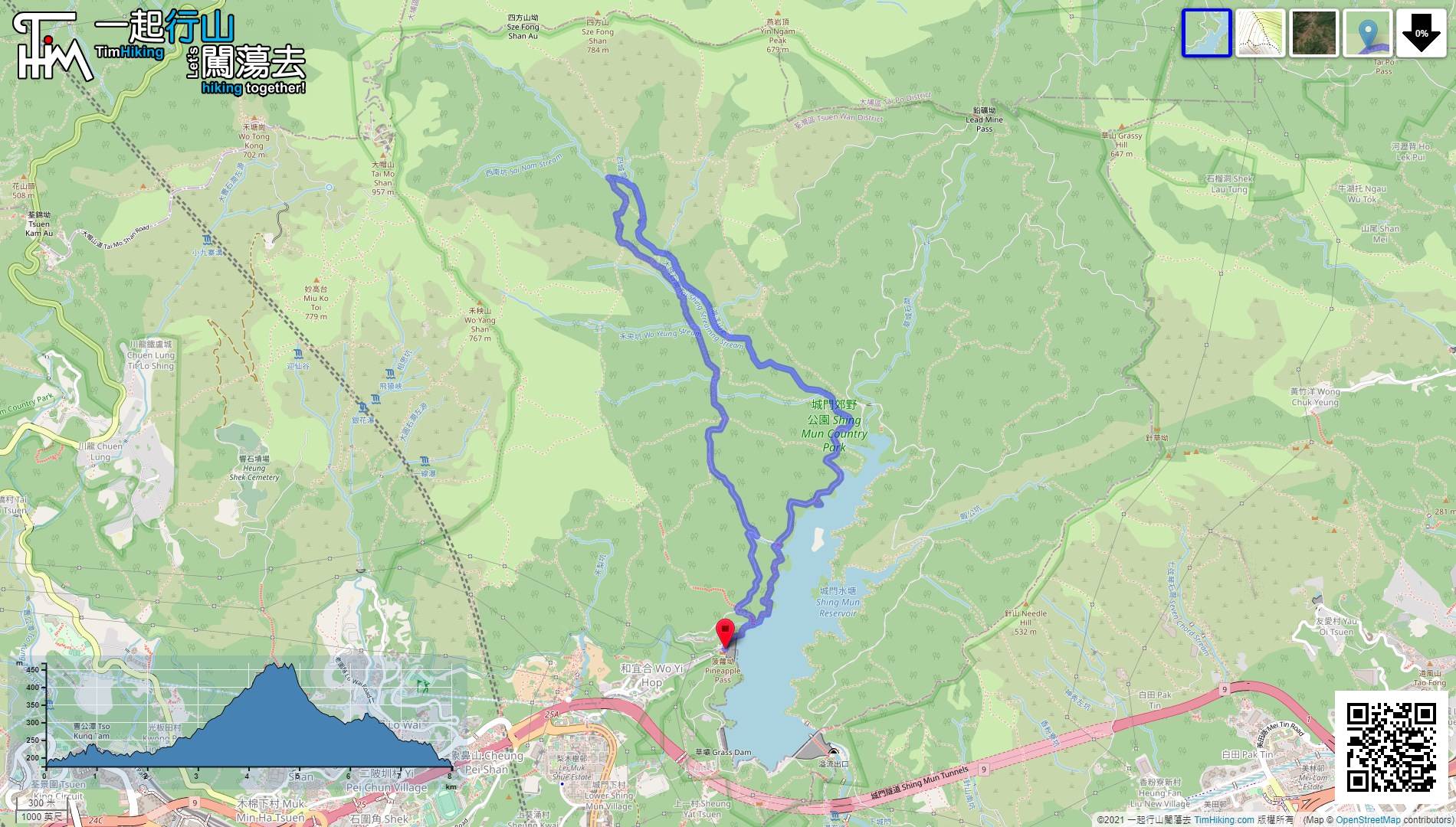
| View : |  | ||
| Difficulty : |  | ||
| Path : | |||
| Length : | 8.1km | ||
| Time : | 6½hours | ||
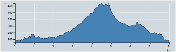 | |
| Ascent : 535m | Descent : 535m |
| Max : 468m | Min : 176m |
| (The accuracy of elevation is +/-30m) | |


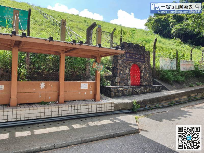
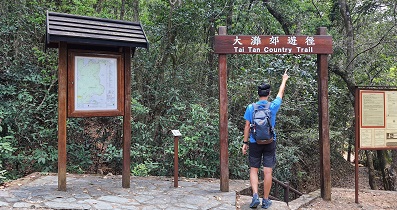
Once getting off, will see the red archway of Shing Mun Country Park on the right,
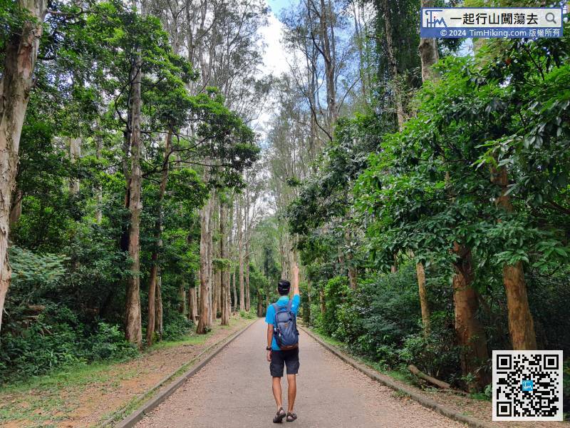
 11︰about 5 minutes will arrive to Paper Bark Tree Avenue.
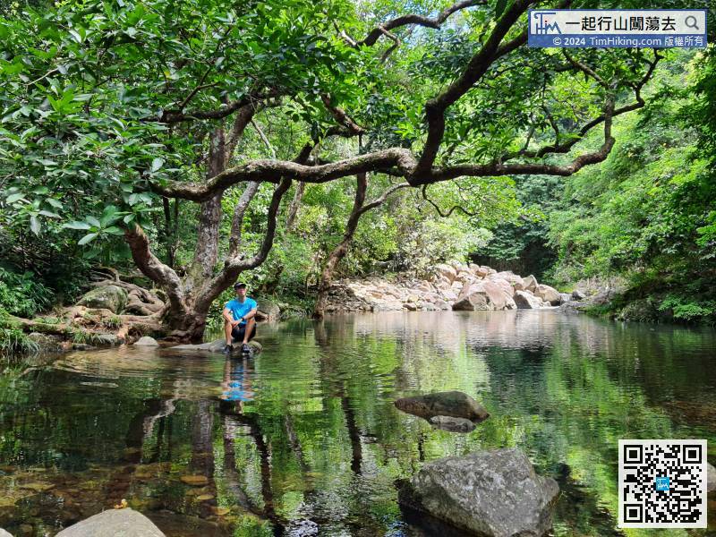
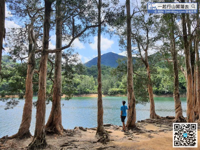
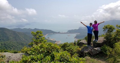
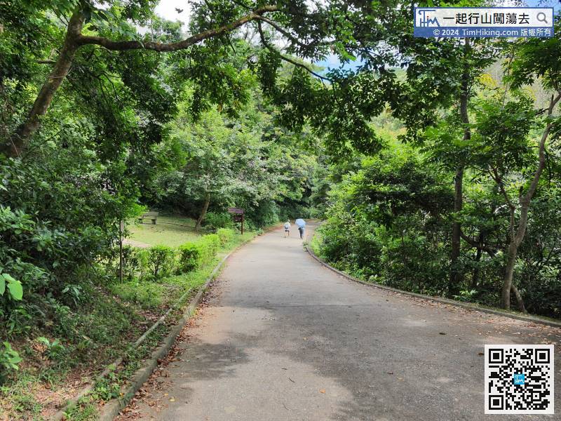 23︰If lucky, can see a very elegant sky mirror.
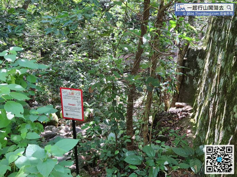
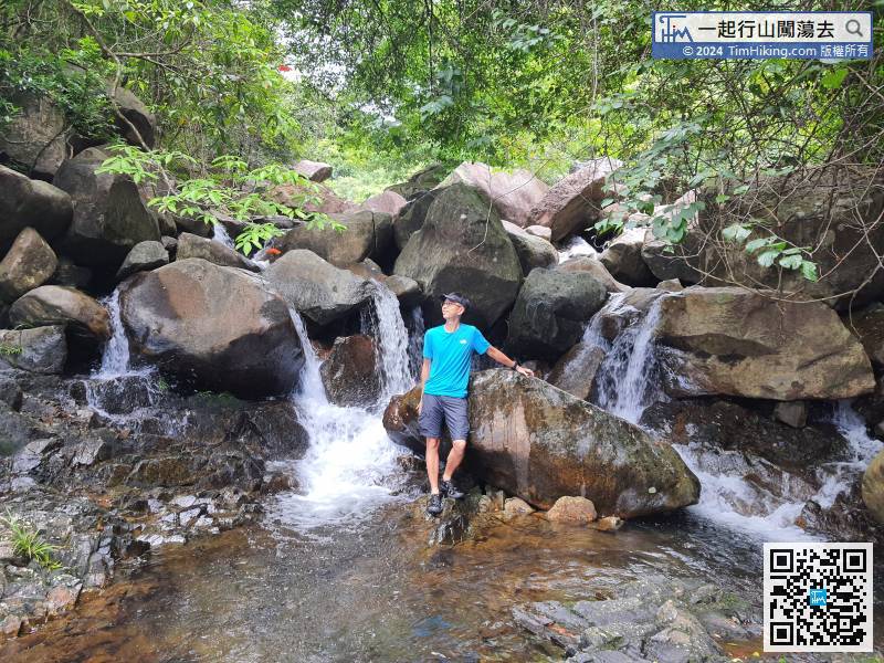
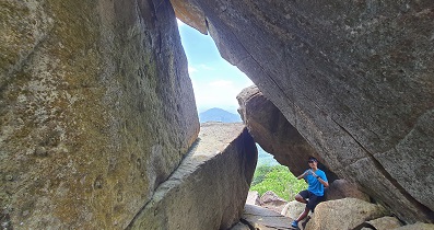
When everything is ready, enter the stream, there is a danger warning sign at the intersection.
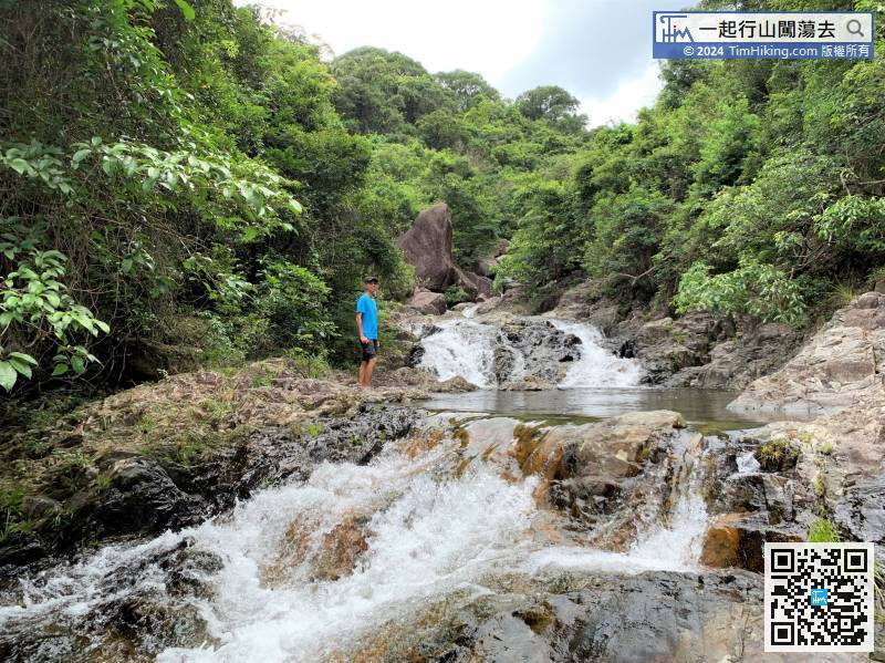
38︰It is really beautiful while big waterflow,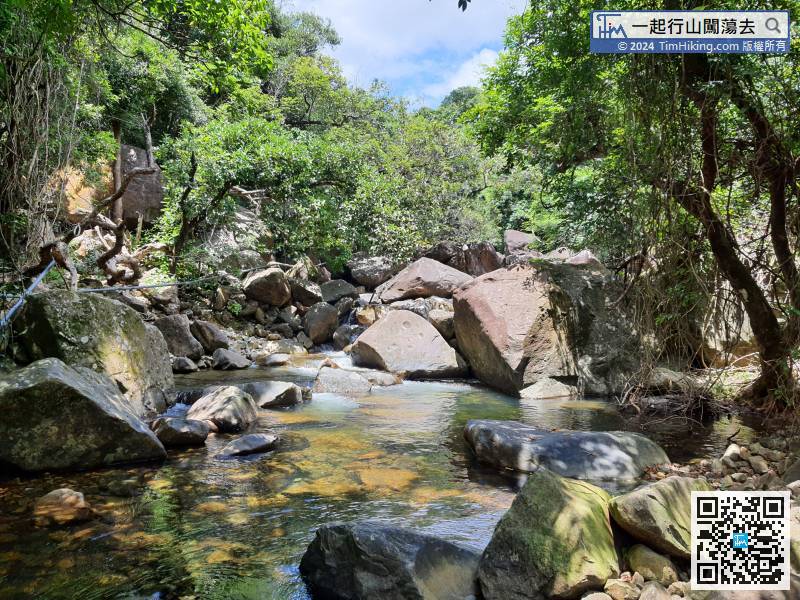
So, it is required to choose your route carefully throughout the whole journey.
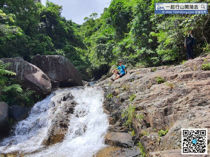
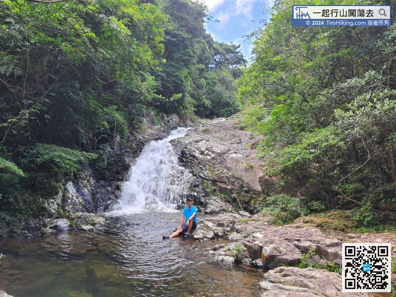
41︰The small waterFalls on the pool is very surging,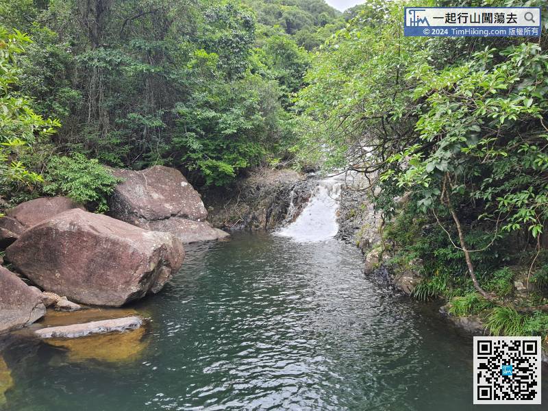 56︰and finally come to Maple Leaf Pool.
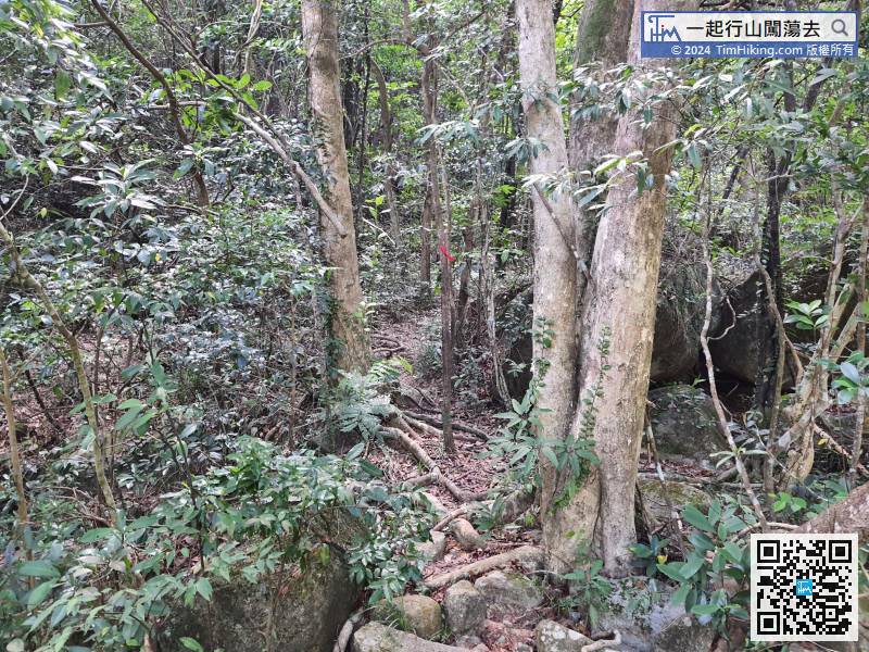
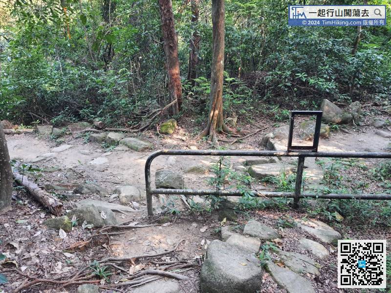
Along the mountain trail to the upper reaches of Tai Shing Stream,
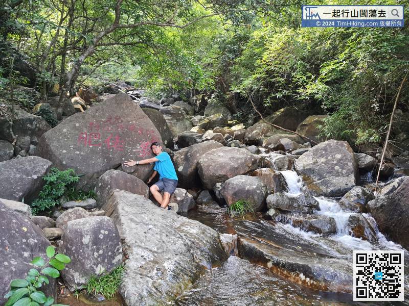
68︰finally arrive at the end point Fat Mak Rock, the whole journey of 2.3km Tai Shing Stream ended here.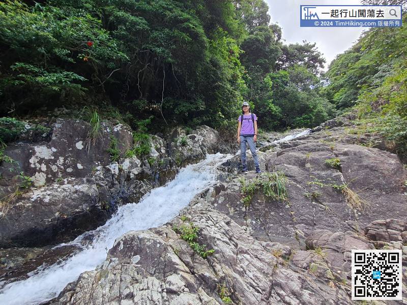


