


 Recommend YouTube


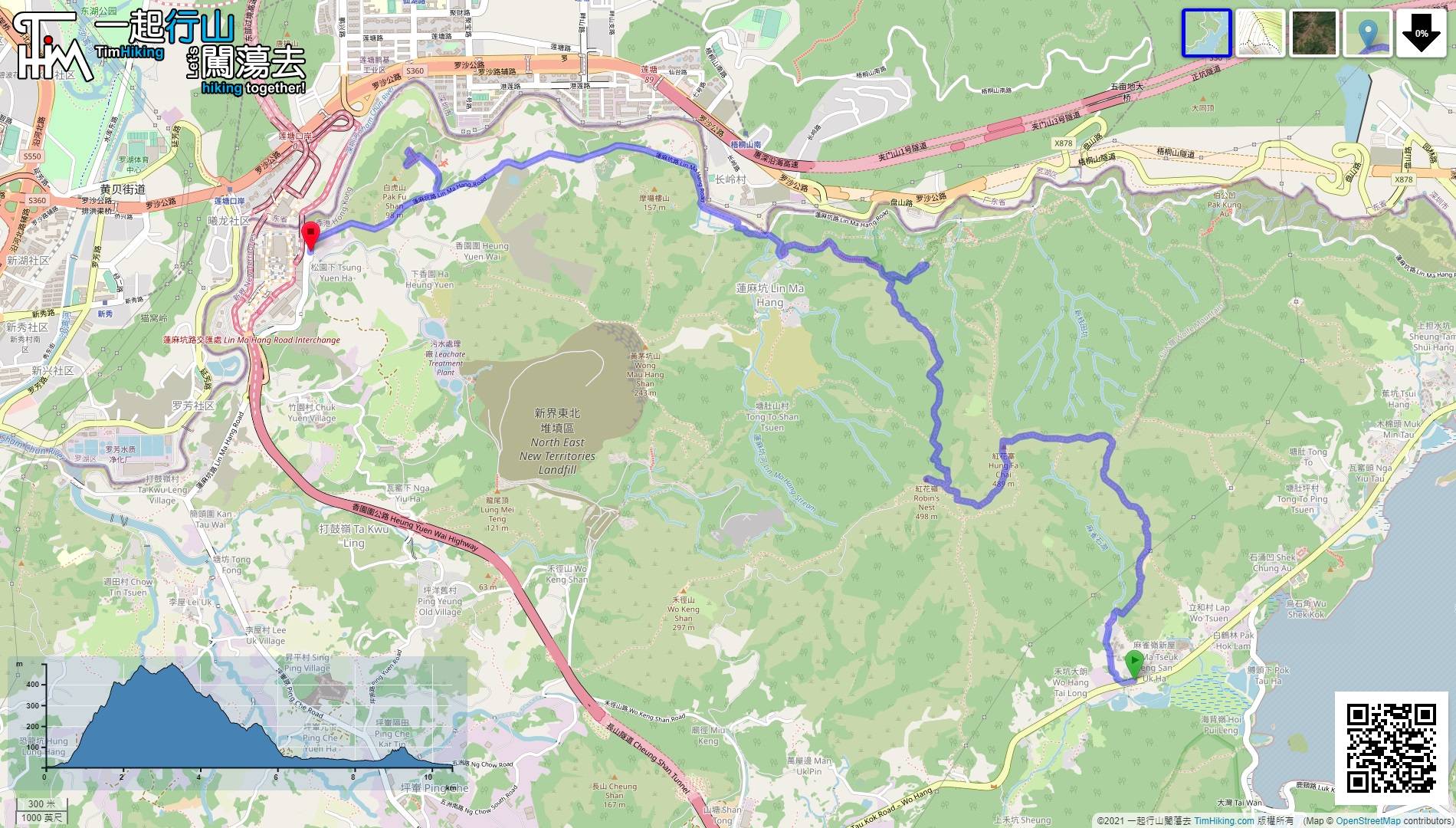
| View : |  | ||
| Difficulty : |  | ||
| Path : | |||
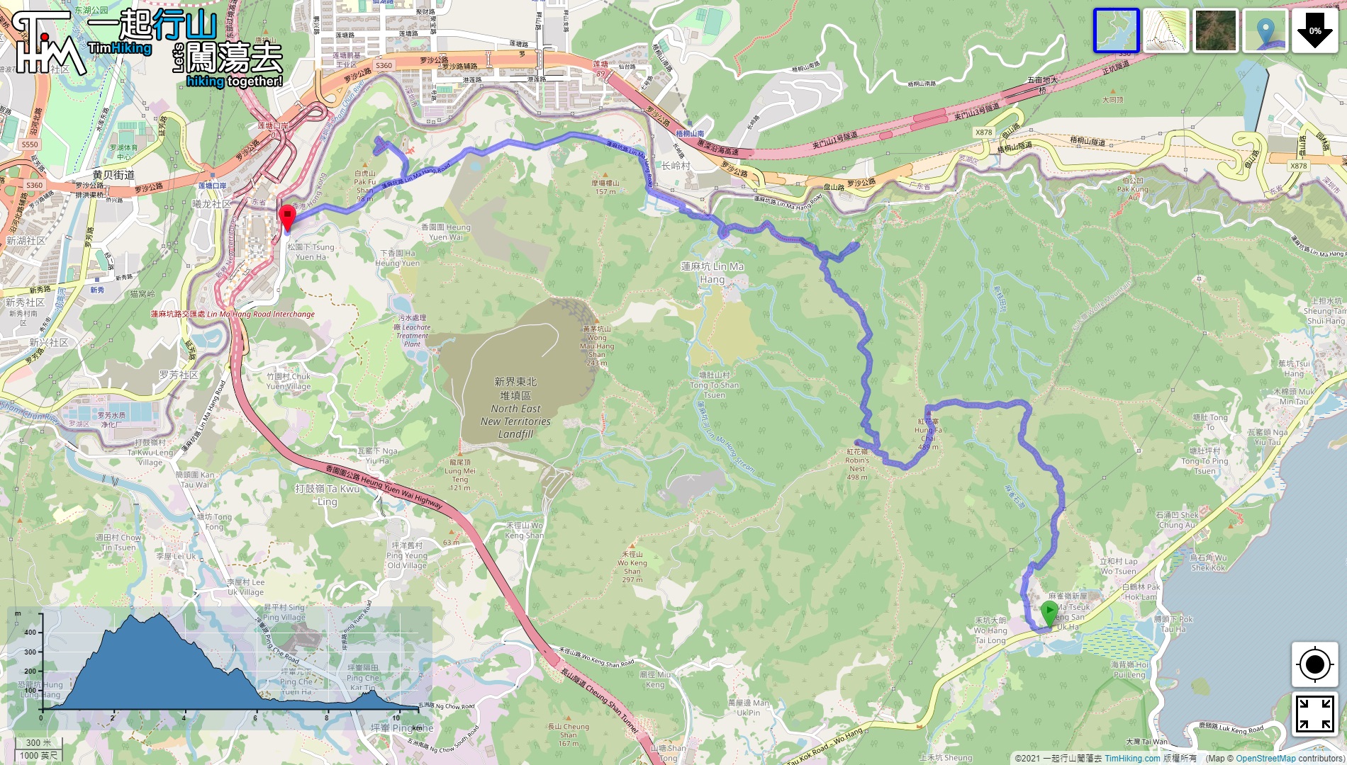
| Length : | 10.6km | ||
| Time : | 7hours | ||
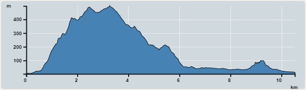 | |
| Ascent : 703m | Descent : 690m |
| Max : 470m | Min : 2m |
| (The accuracy of elevation is +/-30m) | |


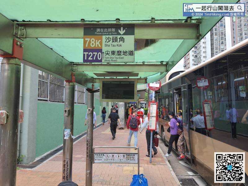
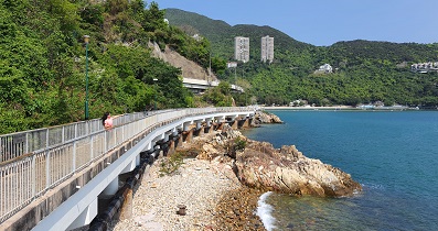
First, go to Sheung Shui or Fanling and take the 78K bus towards Sha Tau Kok,
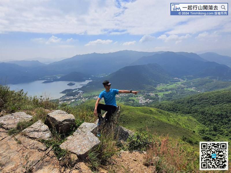
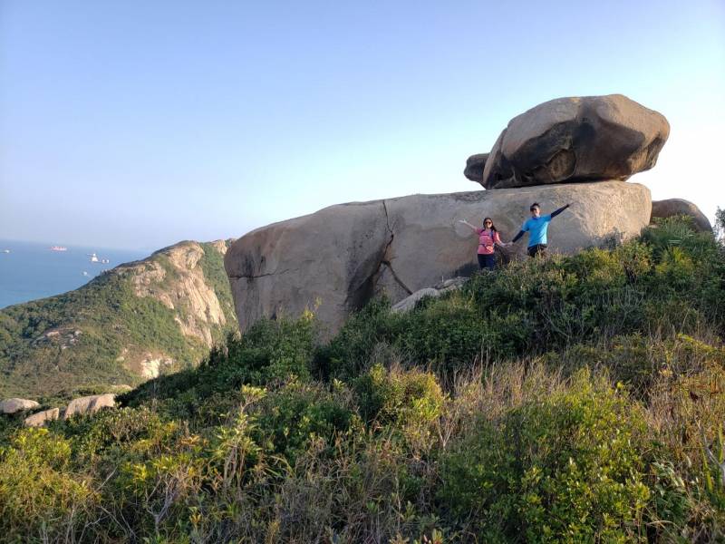
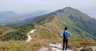
 17︰Just 5 minutes, reach the position with open scenery,
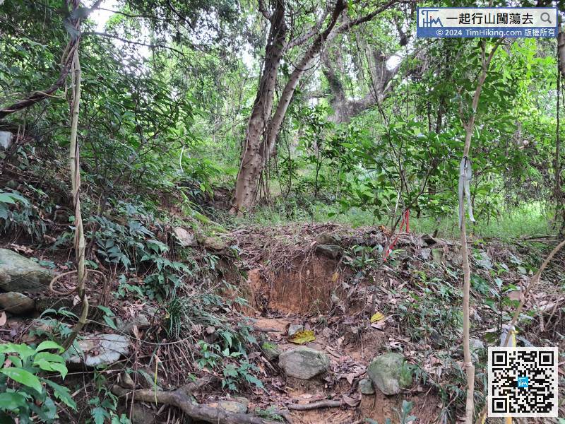 25︰About 10 minutes, up to another small flat land,
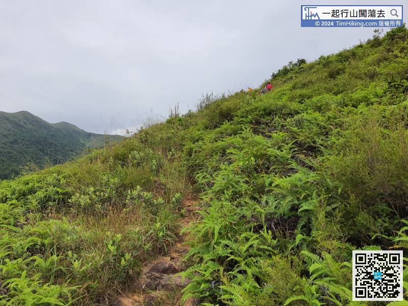
The mountain trail has only one path, there is no bifurcation.
37︰After that, head to Hung Fai Chai, do not go wrong to the direction of Sam Tung.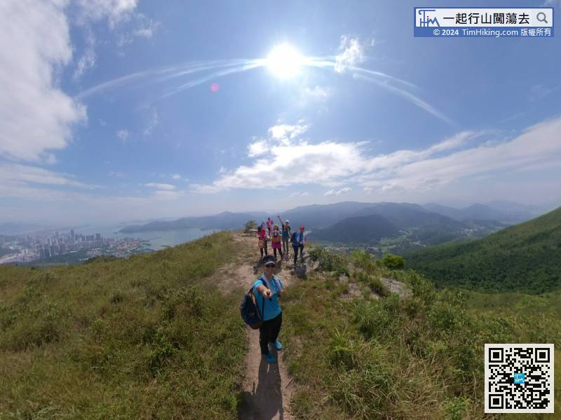
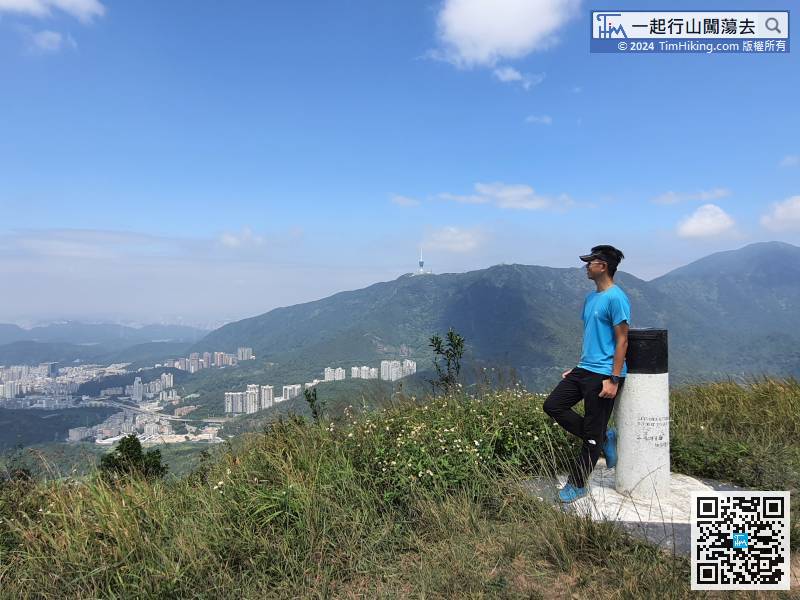
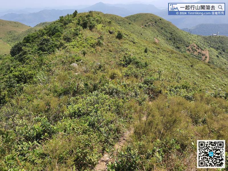
It takes about an hour from the foot of the mountain, and the incline is quite a lot, so take a short break at the peak.
50︰After the downhill, will go up immediately,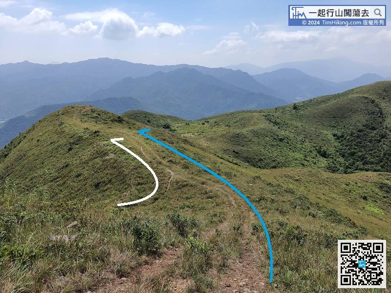
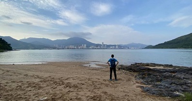
Go down the mountain from the other end, will connect back to the main road.
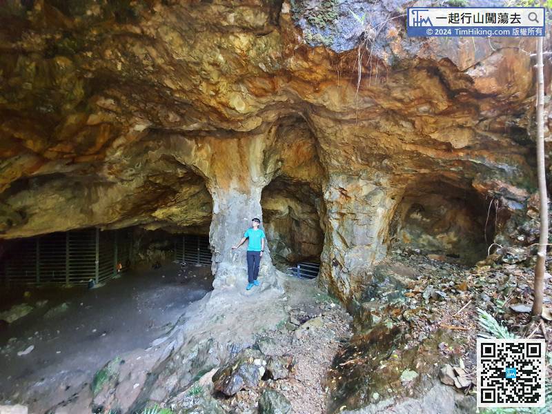
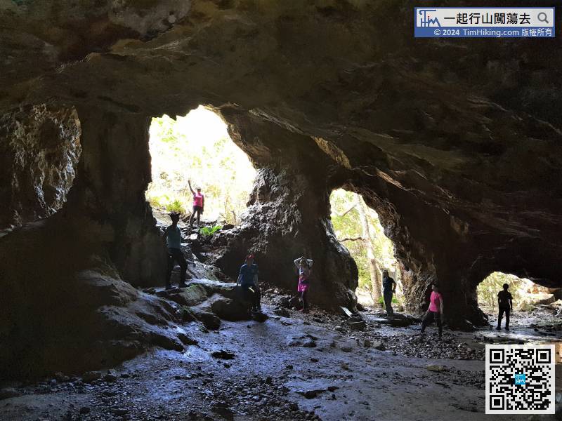
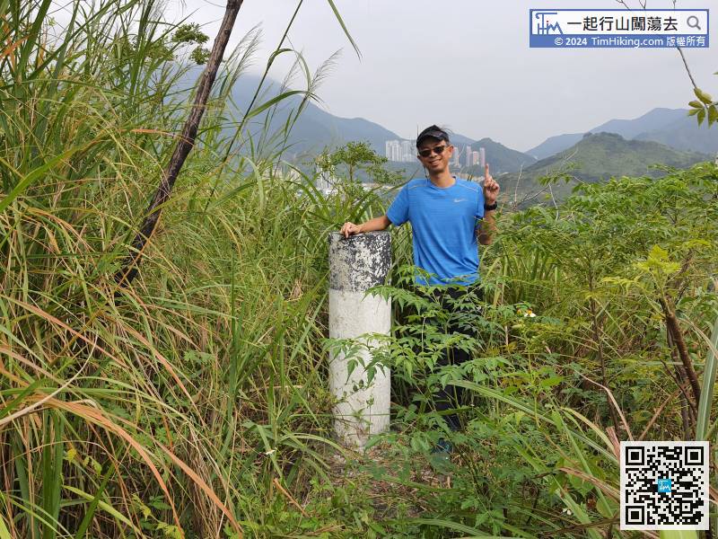
 81︰The whole mine is supported by three large stone pillars, and there are several closed small mines inside.
The biggest one in front is Mine No.6 of Lin Ma Hang, also known as the Hall.
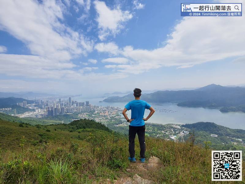
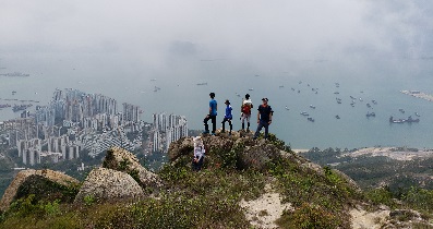
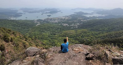
101︰which can shoot an unobstructed photo of MacIntosh Fort (Kong Shan).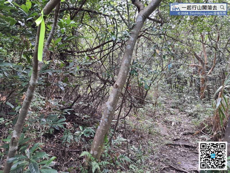
After a break, go back the mountain on the same road,
131︰which is accessible, but the inside is very narrow.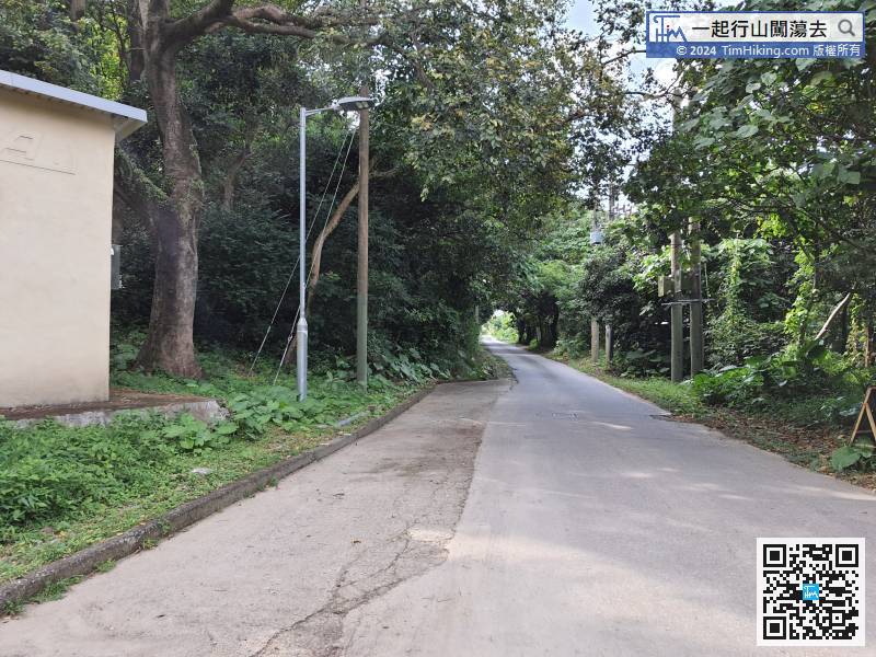 140︰and turn right immediately.
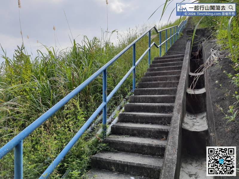
After visiting the fort, return to the intersection and go up the hill on the right.


