


 Recommend YouTube


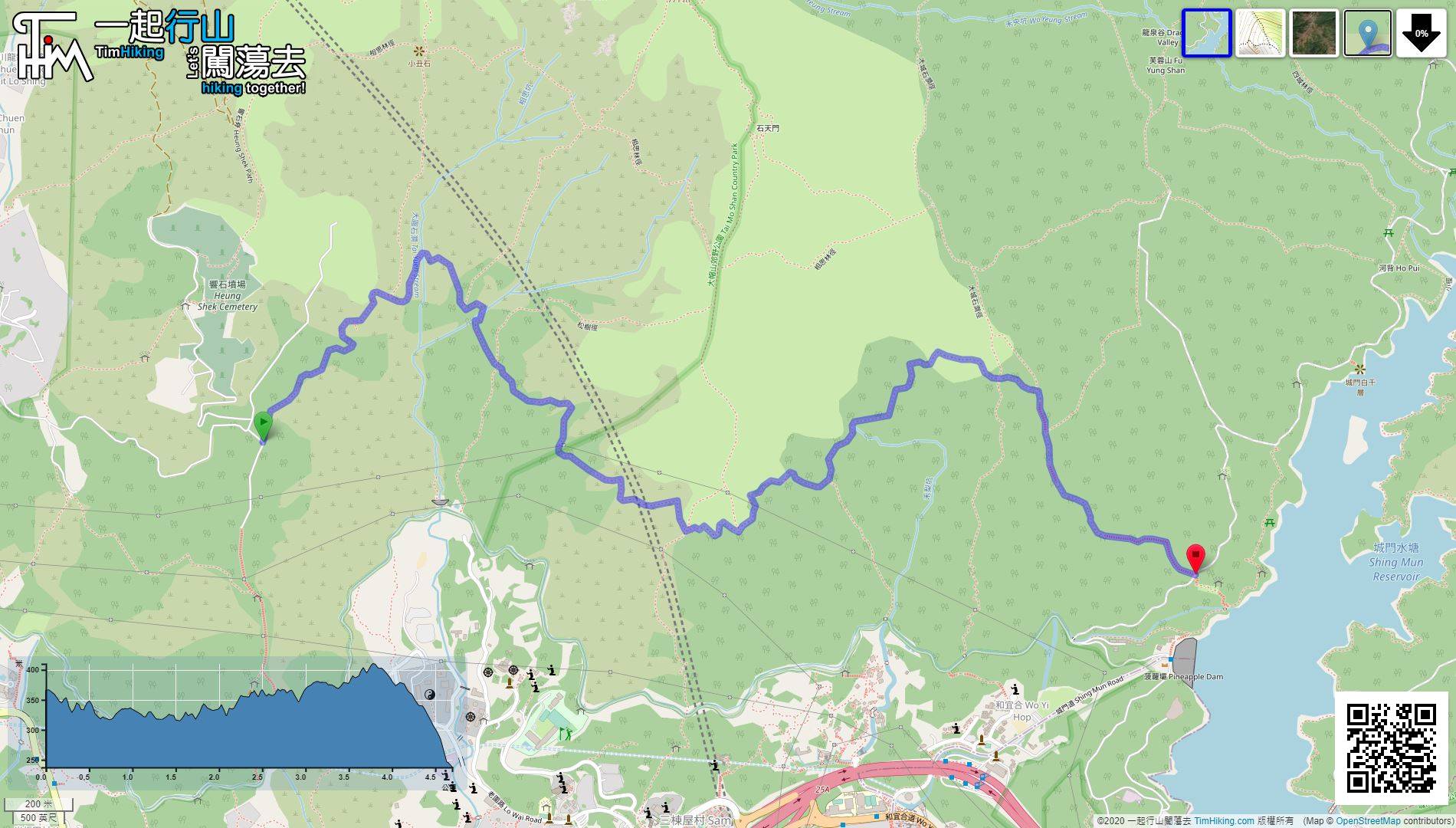
| View : |  | ||
| Difficulty : |  | ||
| Path : | |||
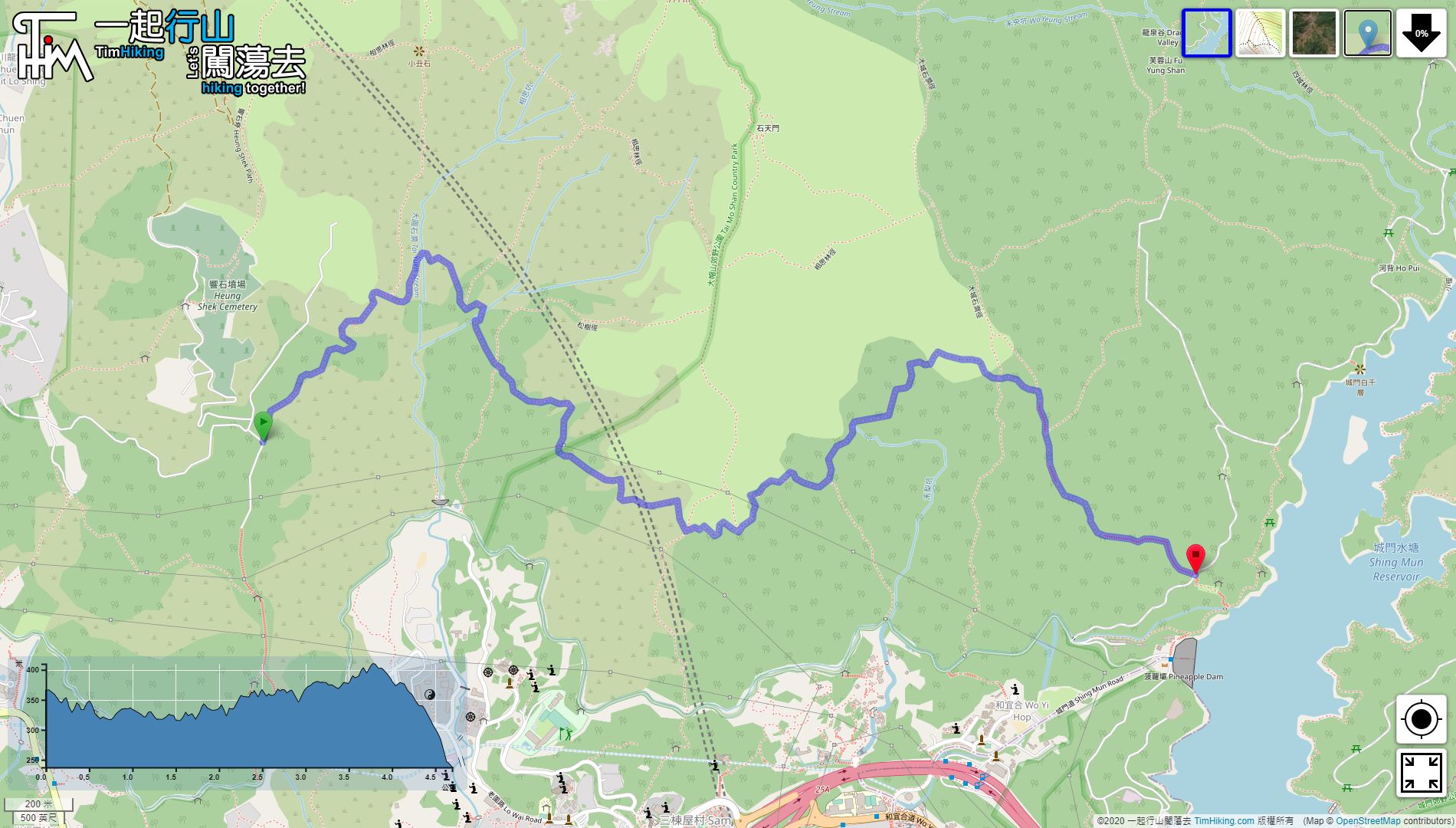
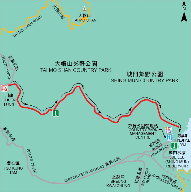
| Length : | 4.9km | ||
| Time : | 2½hours | ||
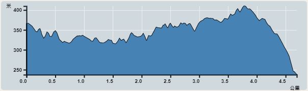 | |
| Ascent : 351m | Descent : 485m |
| Max : 410m | Min : 239m |
| (The accuracy of elevation is +/-30m) | |


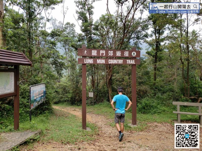
The quickest way to get to Chuen Lung is to take the minibus 80 at Tsuen Wan Chuen Lung Street
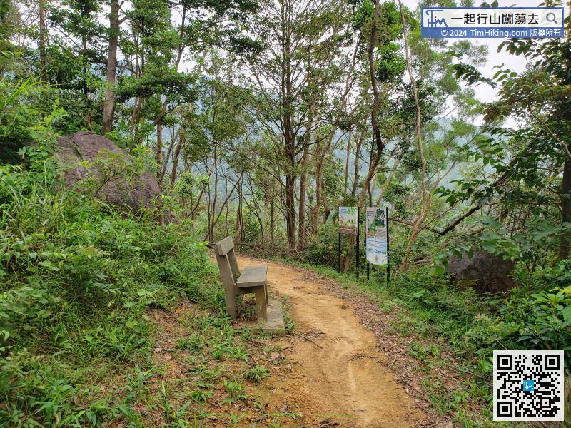
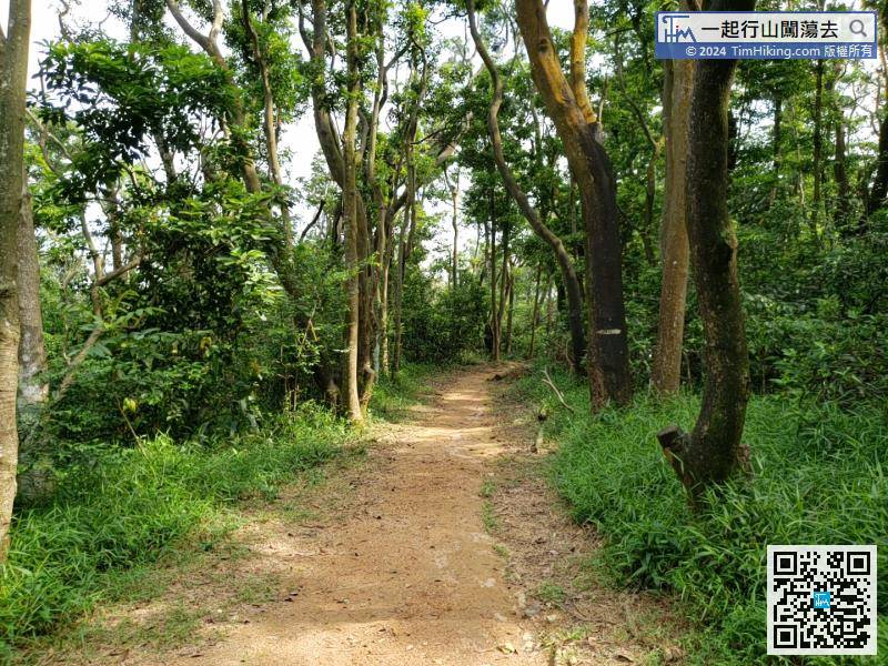
Shortly after the start, there is a wooden bench can take a short break.
Official Map


