


 Recommend YouTube


| View : |  | ||
| Difficulty : |  | ||
| Path : | |||
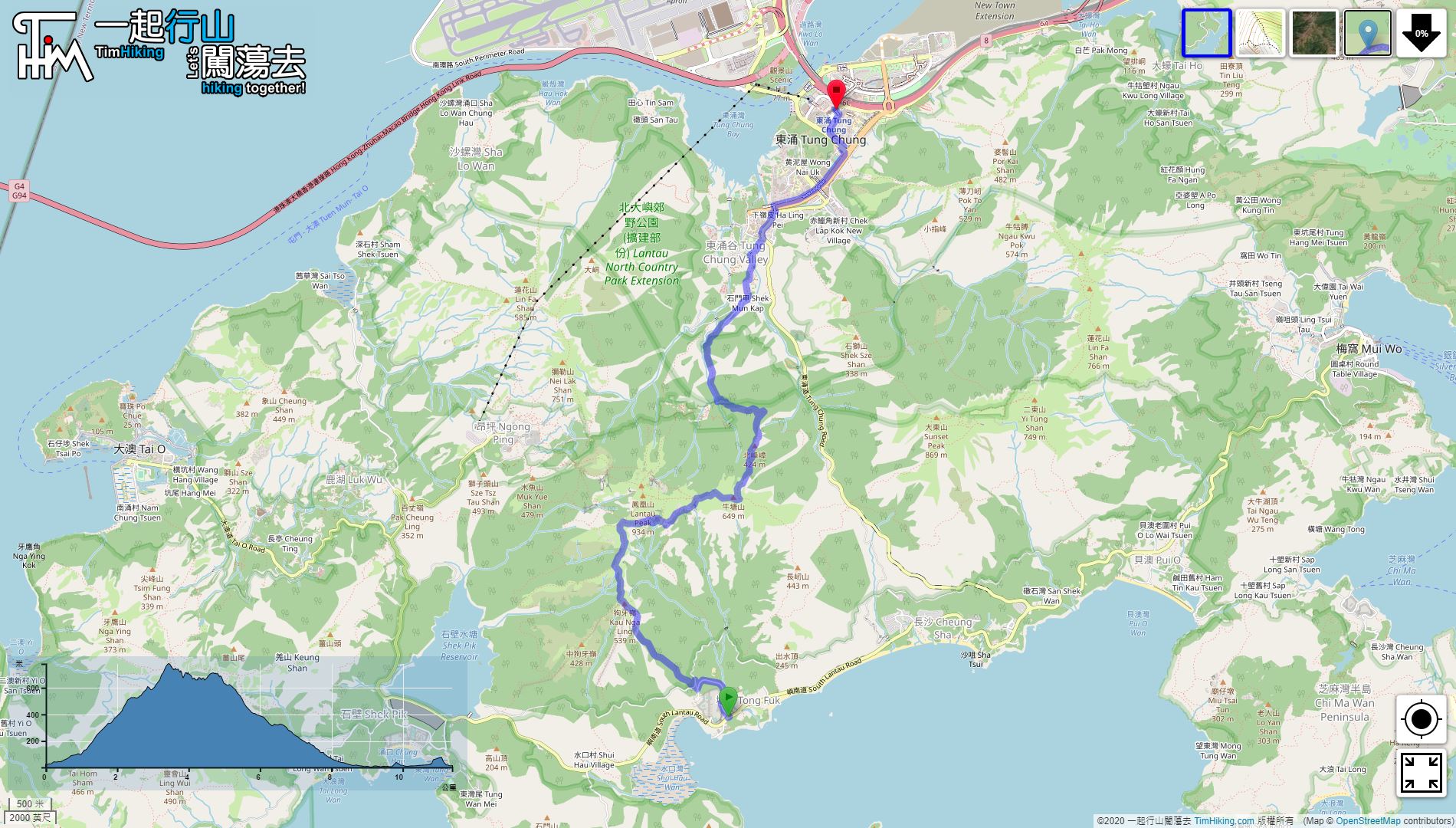
| Length : | 11.4km | ||
| Time : | 8hours | ||
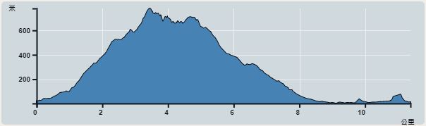 | |
| Ascent : 1,185m | Descent : 1,195m |
| Max : 780m | Min : 1m |
| (The accuracy of elevation is +/-30m) | |


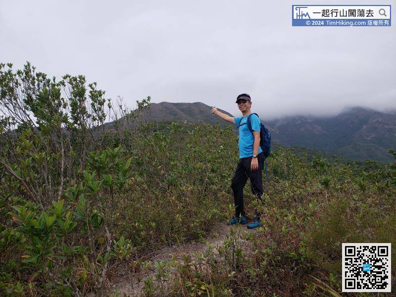
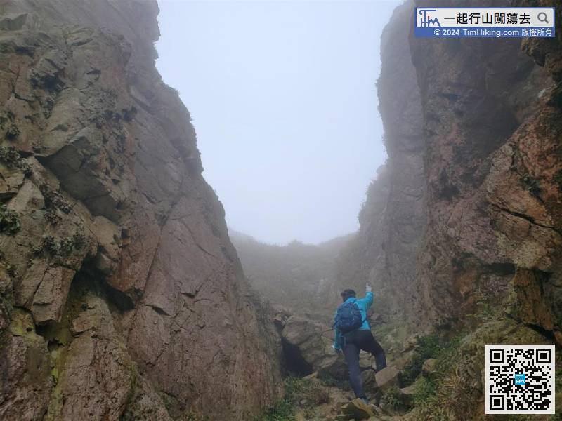
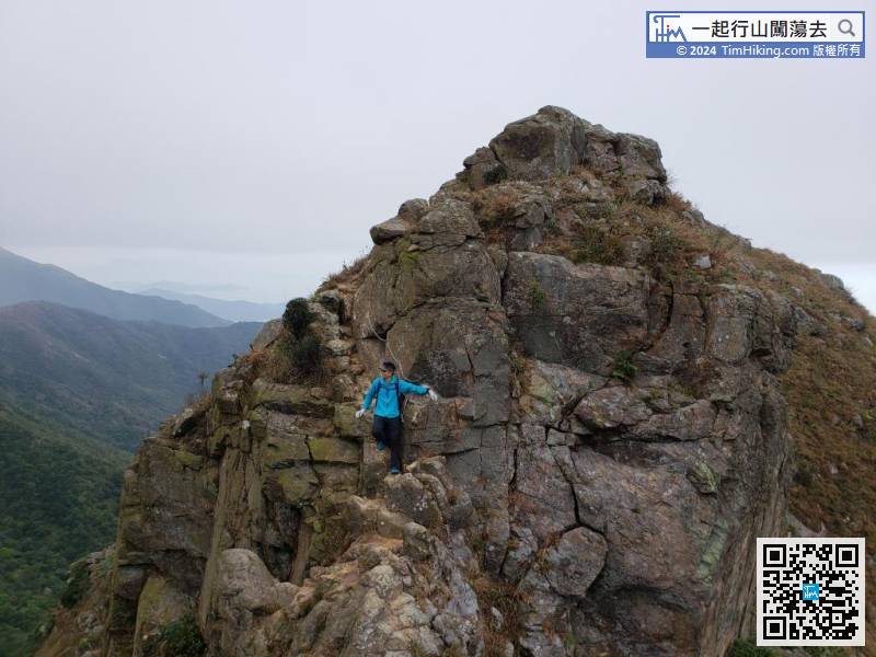
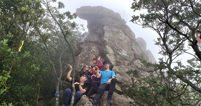
Due to the fast ascending, reach the top of the first tooth quickly.
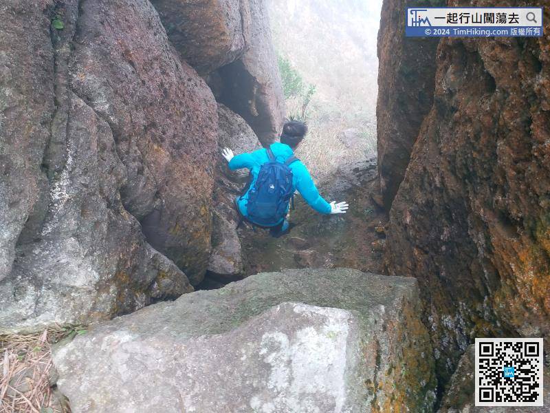
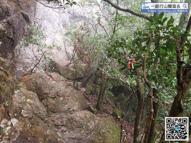
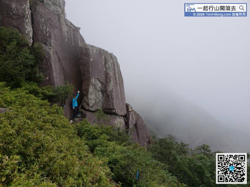
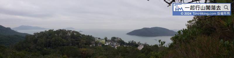
Afterwards, will start walking into the jungle,
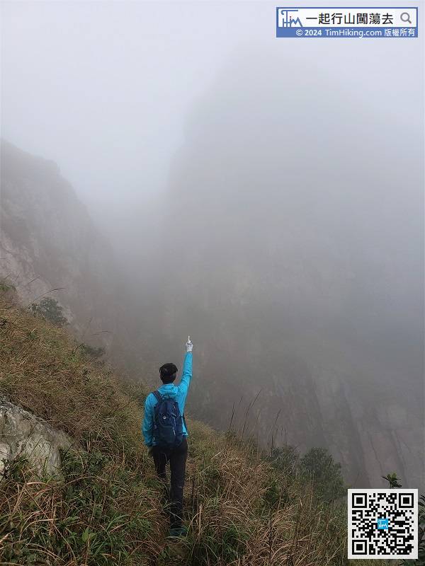
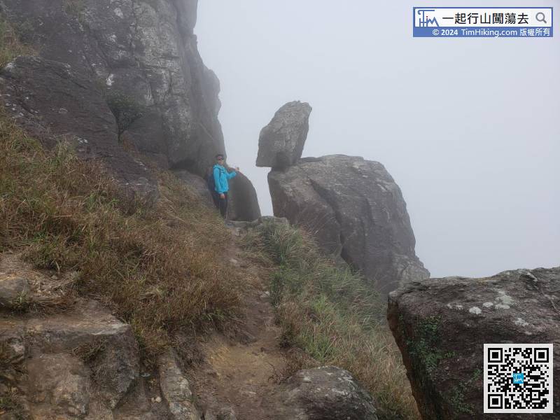
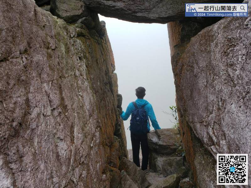
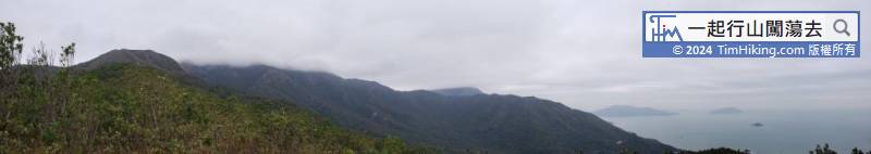
South Heaven Gate is shrouded in thick fog. It is a different sight and adds to the mystery.
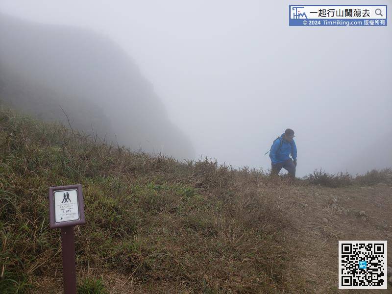
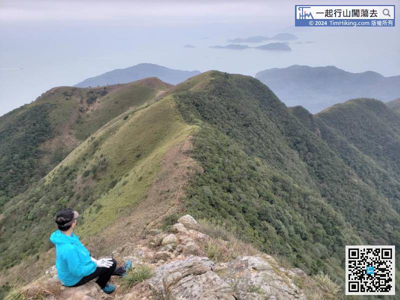
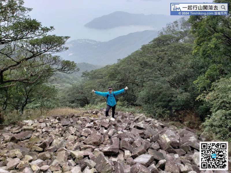
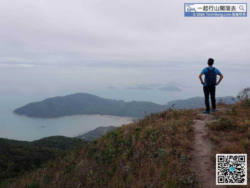
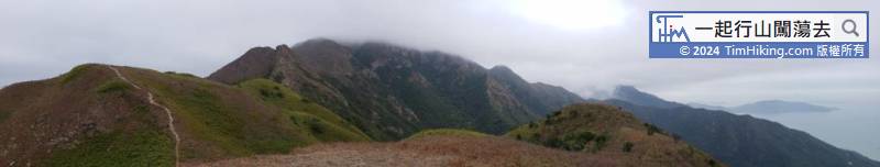
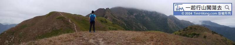
When reaching the top, will connect back to the Lantau Trail (Section 3). The road sign is L023.


