


 Recommend YouTube


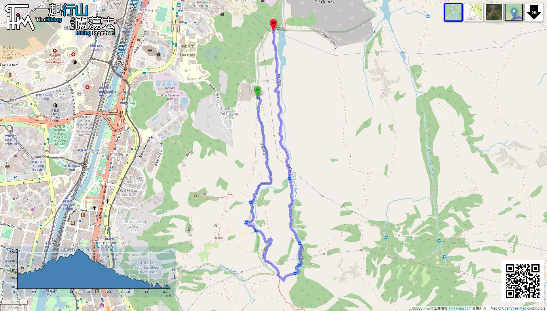
| View : |  | ||
| Difficulty : |  | ||
| Path : | |||
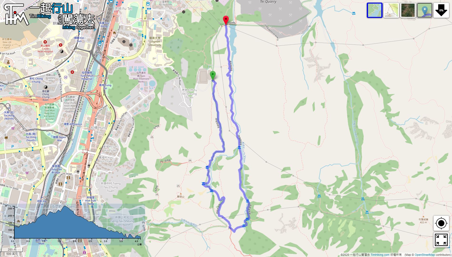
| Length : | 4.1km | ||
| Time : | 2hours | ||
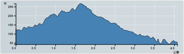 | |
| Ascent : 255m | Descent : 315m |
| Max : 267m | Min : 42m |
| (The accuracy of elevation is +/-30m) | |


 16︰there is a small intersection, remember keeping to the right along the road,
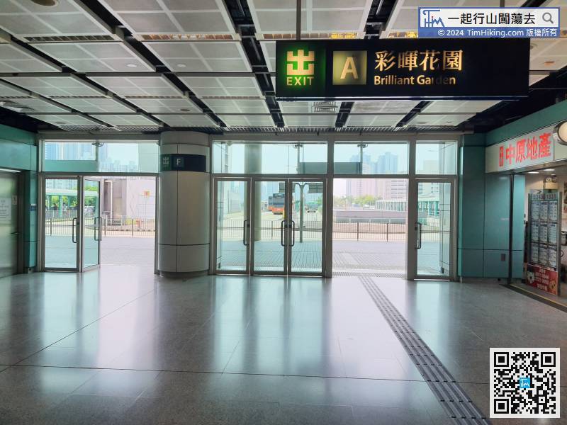
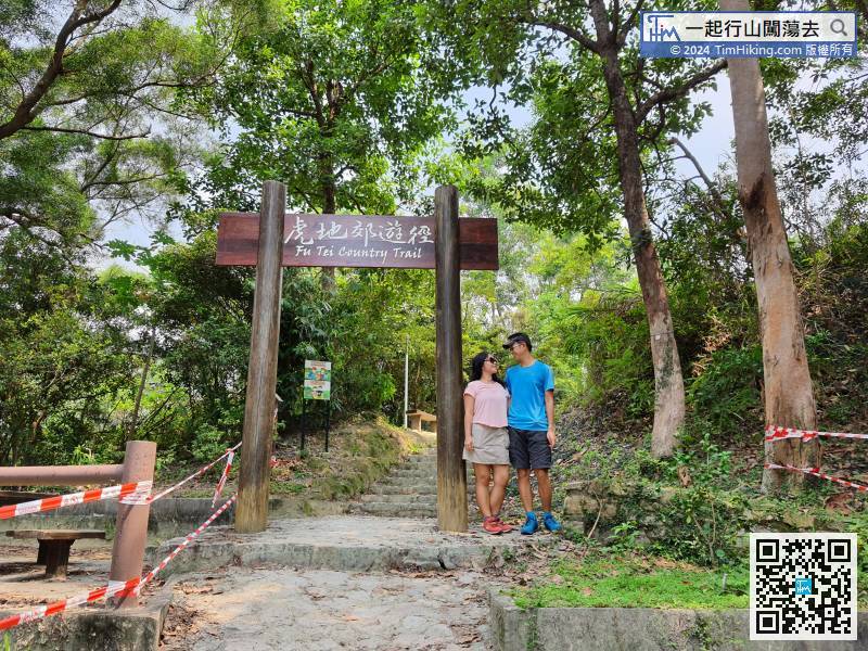
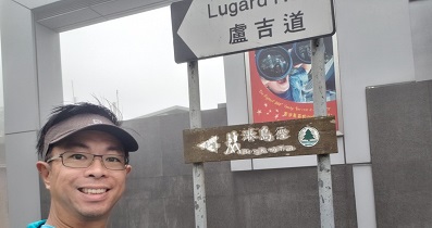
First take the MTR to Siu Hong Station, and then leave from Exit A.
26︰and a large archway.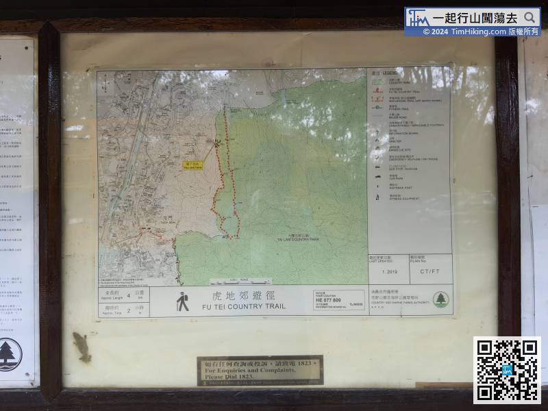
The Fu Tei Barbecue Area is the starting point of the Fu Tei Country Trail. There is a map at the entrance of the trail
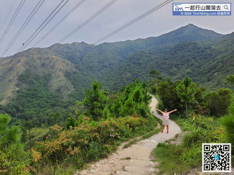
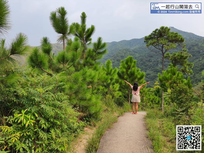
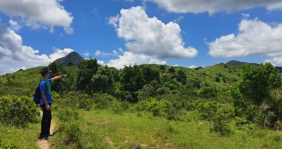
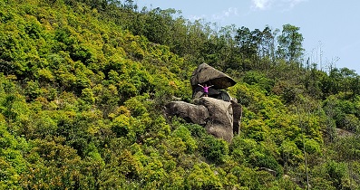
41︰In addition to the barren trail, there is also an official trail to Tuen Mun Trail, which also can reach Rainbow Railing.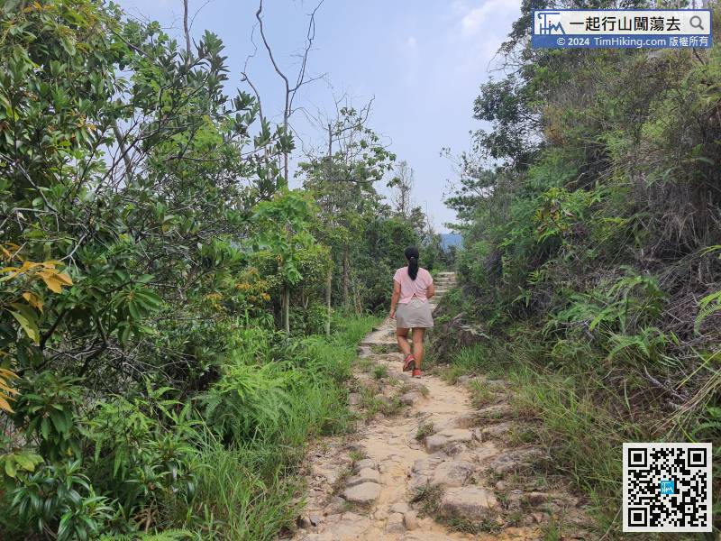 54︰will come to a beautiful scene with pine trees on both sides. The pine trees grow very strong, imitating Like one after another, it is very healing.
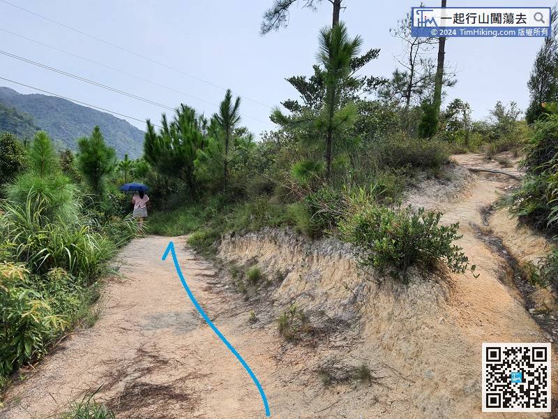
Come to the fork with a lot of pine trees, keep left at that moment.
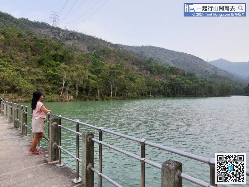
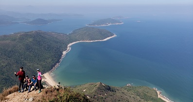
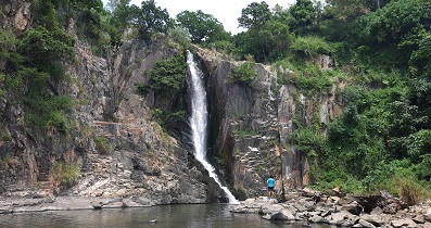
64︰and stream scenery along the way.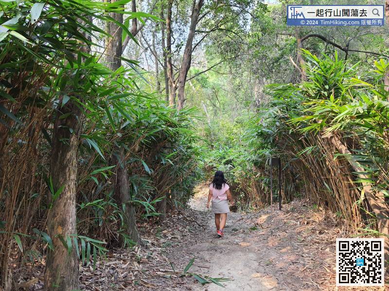
The first half is mainly mountain scenery, which is very different from the scenery in the second half. There are bamboo forest
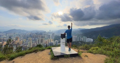
88︰After 15 minutes, will return to Lingnan University.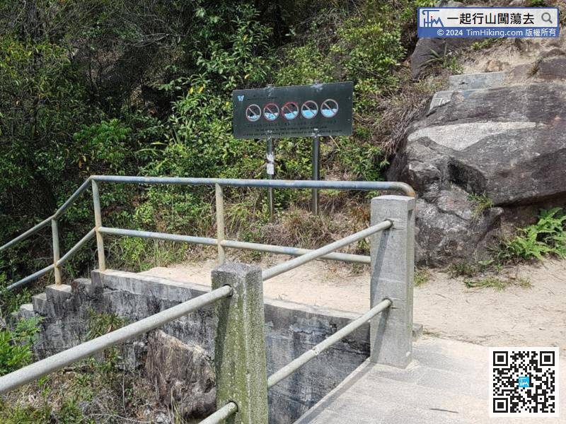
To leave, you can choose Lam Tei, just go down from the other side.


