


 Recommend YouTube


| View : |  | ||
| Difficulty : |  | ||
| Path : | |||
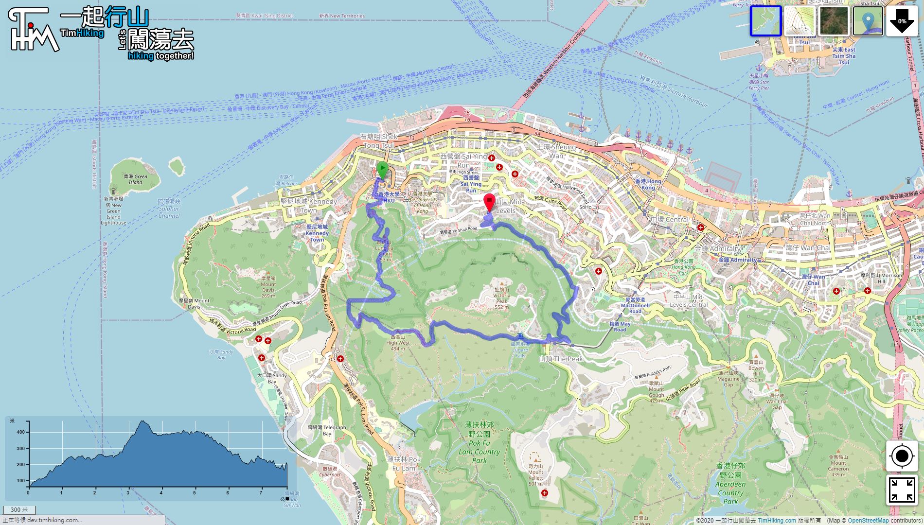
| Length : | 7.8km | ||
| Time : | 4hours | ||
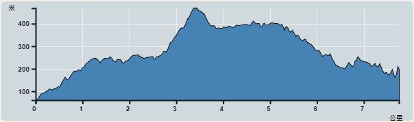 | |
| Ascent : 870m | Descent : 738m |
| Max : 469m | Min : 61m |
| (The accuracy of elevation is +/-30m) | |


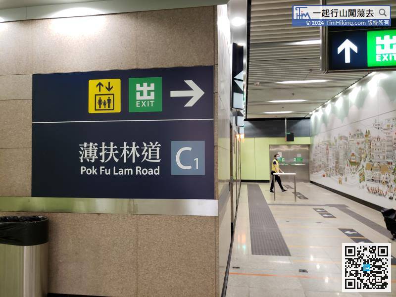
You can take the MTR to the HKU Station, and then leave from Exit C1.
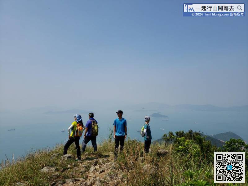
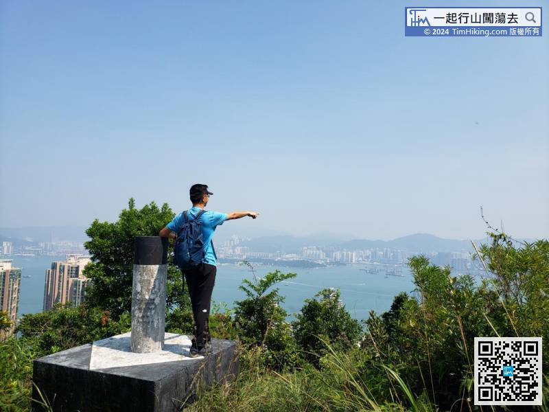
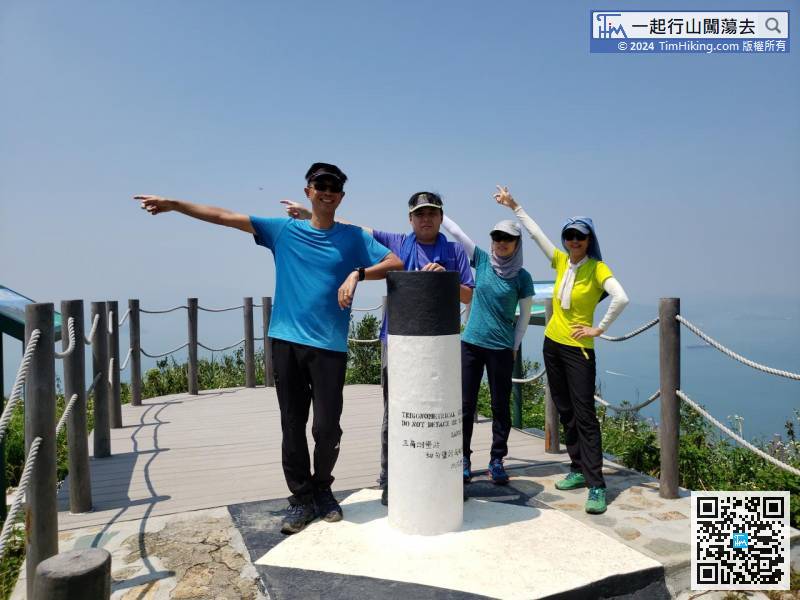
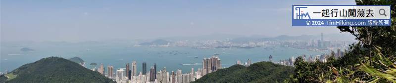
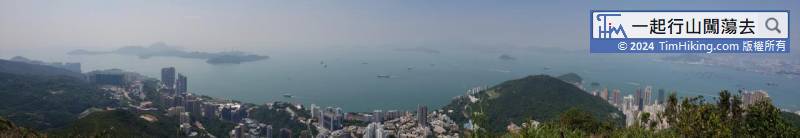
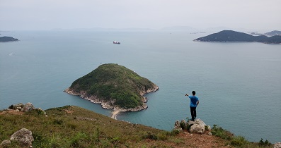
 24︰The trigonometrical station has very open scenery than Longhu Pavilion.
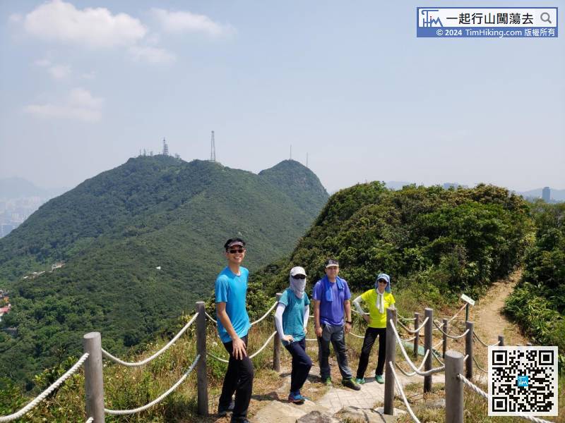
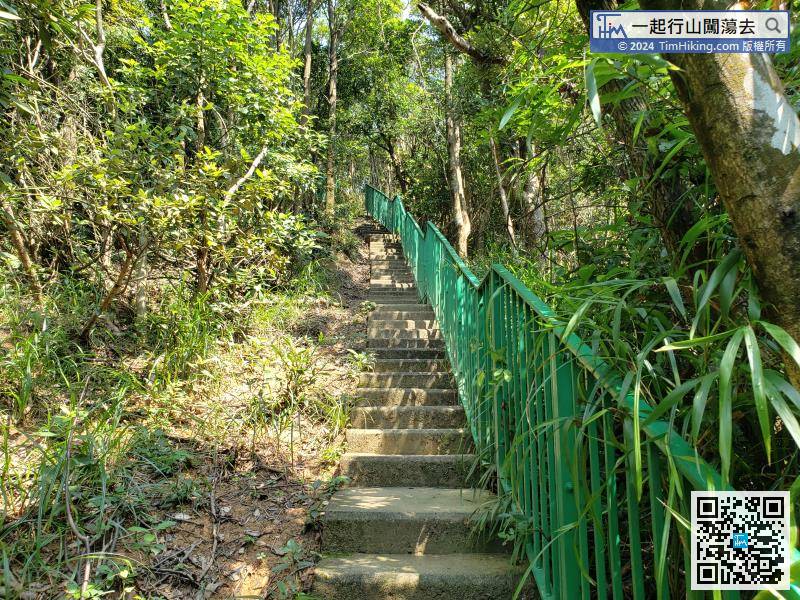 49︰The hike on West Ridge is not long, can go to Vice Peak in High West quickly
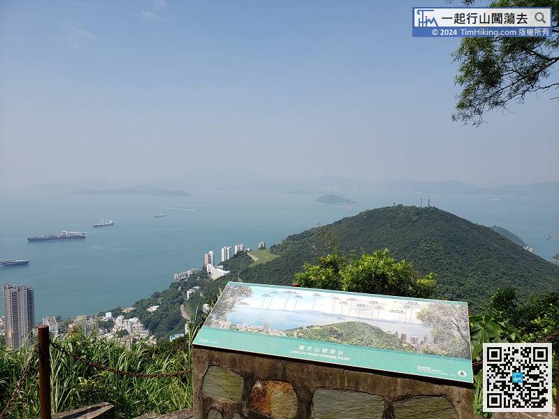
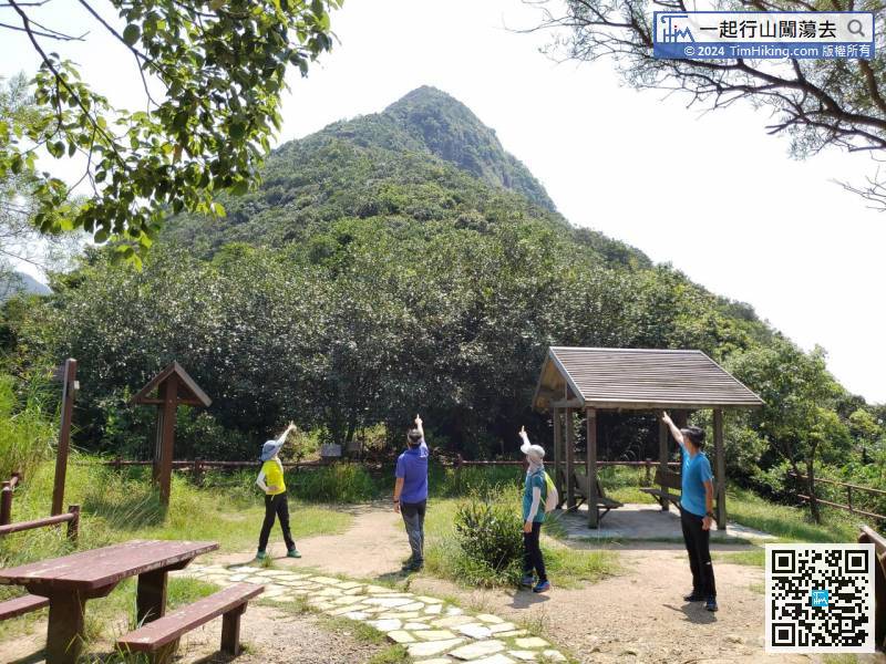
Lung Fu Shan Viewing Point is on the left,
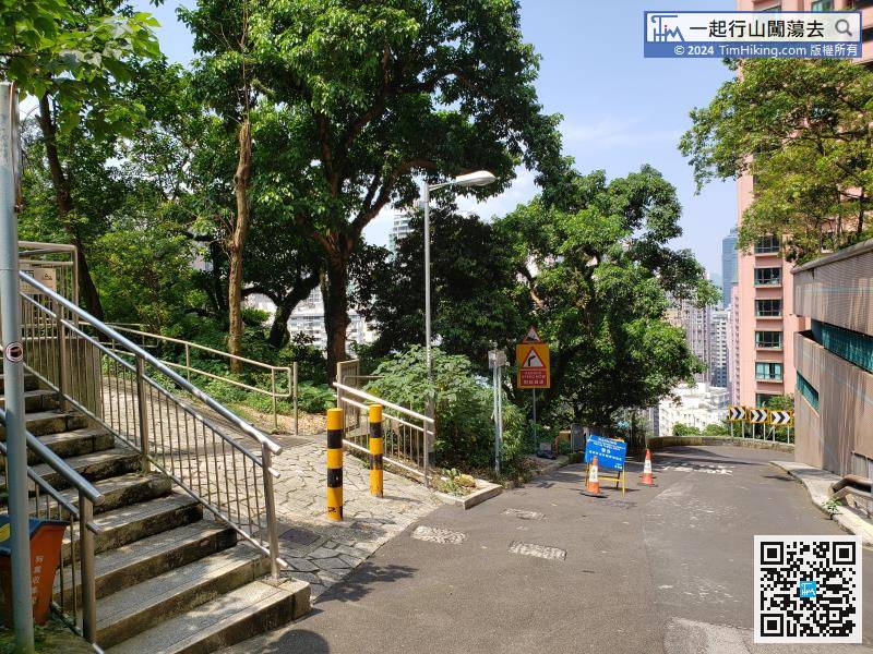
On the left-hand side of the exit is the entrance of Cheung Po Tsai Ancient Trail.
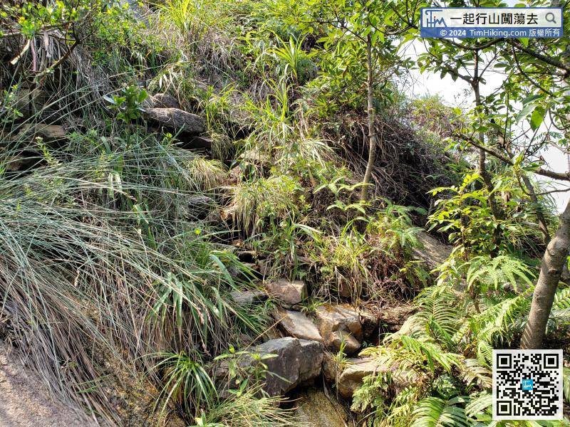
On the right-hand side of The Peak North Slope, can find the stone steps.


