


 Recommend YouTube


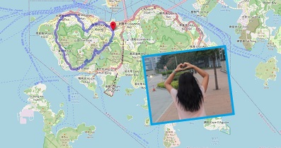
| View : |  | ||
| Difficulty : |  | ||
| Path : | |||
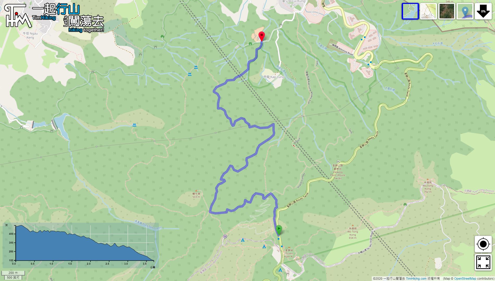
| Length : | 3.7km | ||
| Time : | 2hours | ||
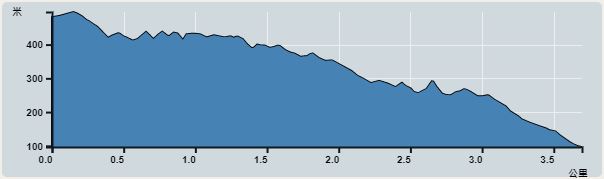 | |
| Ascent : 200m | Descent : 590m |
| Max : 497m | Min : 97m |
| (The accuracy of elevation is +/-30m) | |


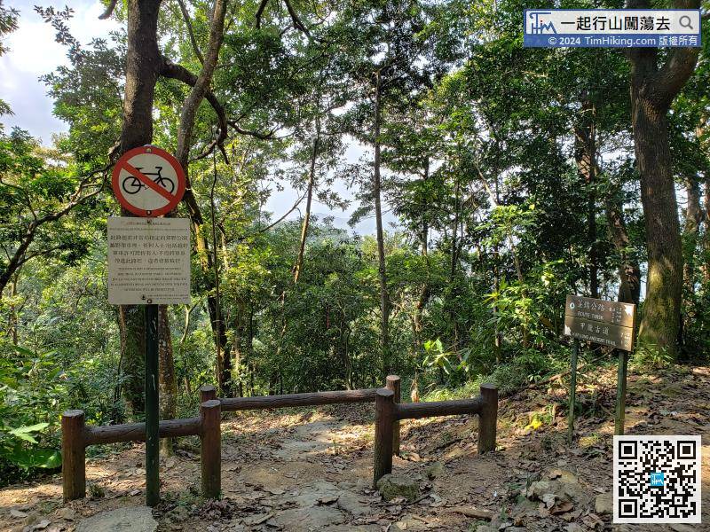
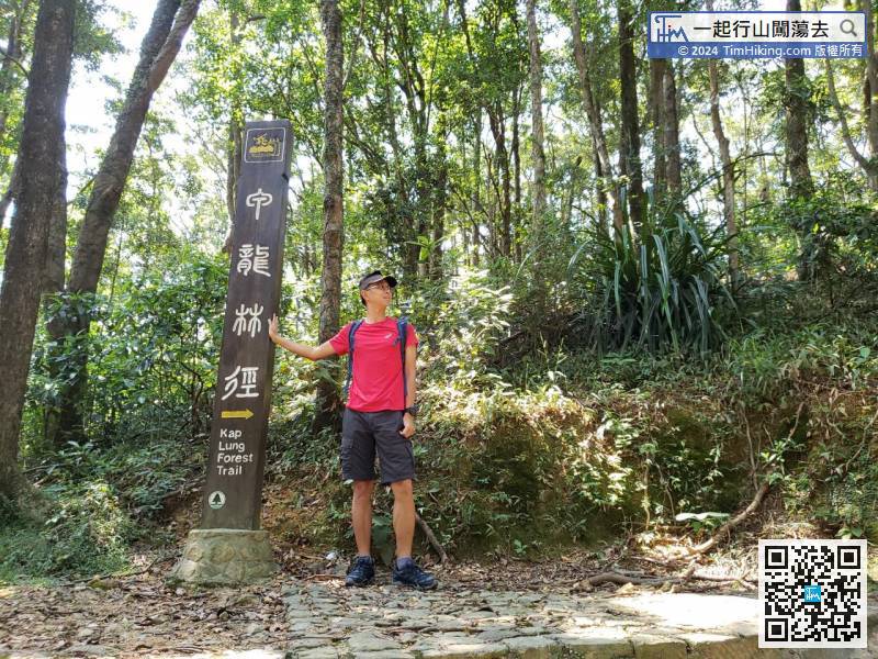
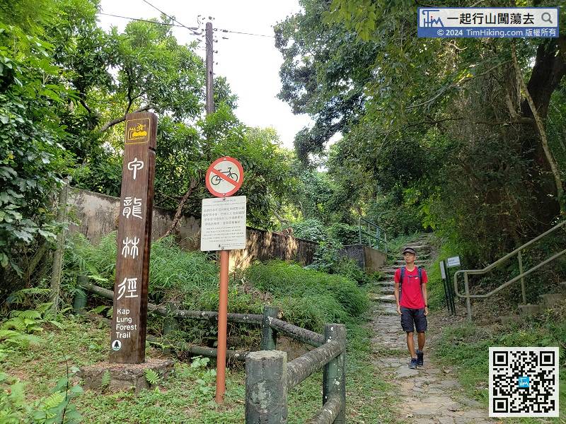
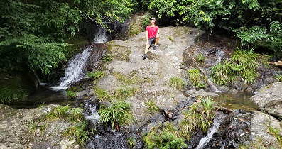
In another important bifurcation, go straight on the wooden railing is Kap Lung Ancient Trail,
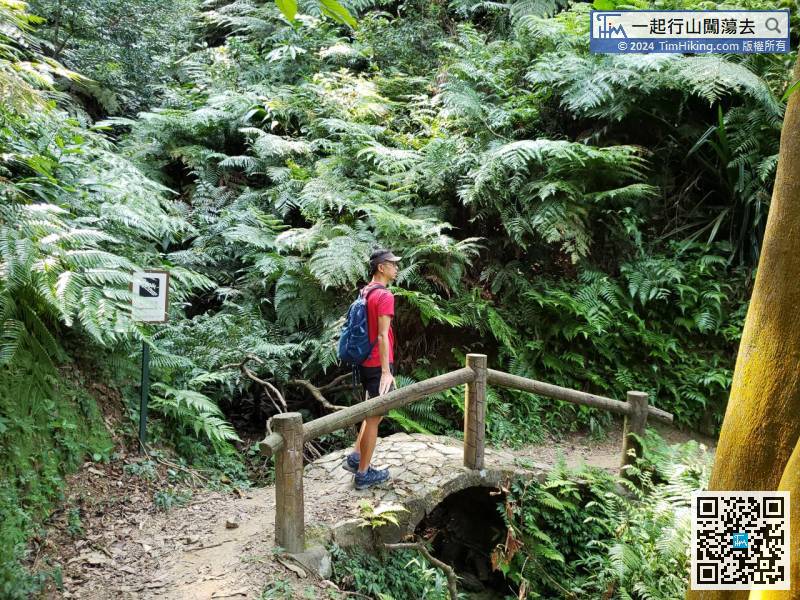
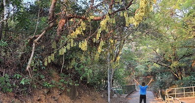
 26︰will pass some small arch bridges on the way. They are the only attractions,
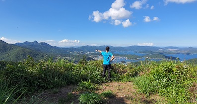
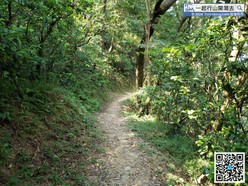 31︰It is very rare to have open scenery, can see Tai Mo Shan.
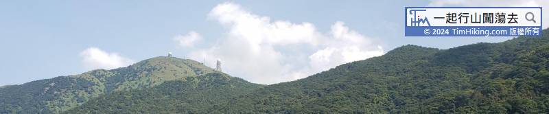
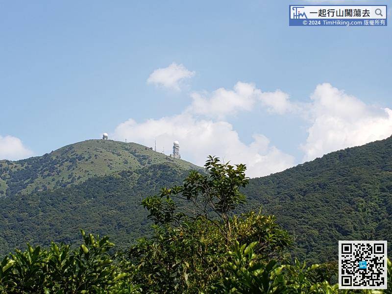


