


 Recommend YouTube


| View : |  | ||
| Difficulty : |  | ||
| Path : | |||
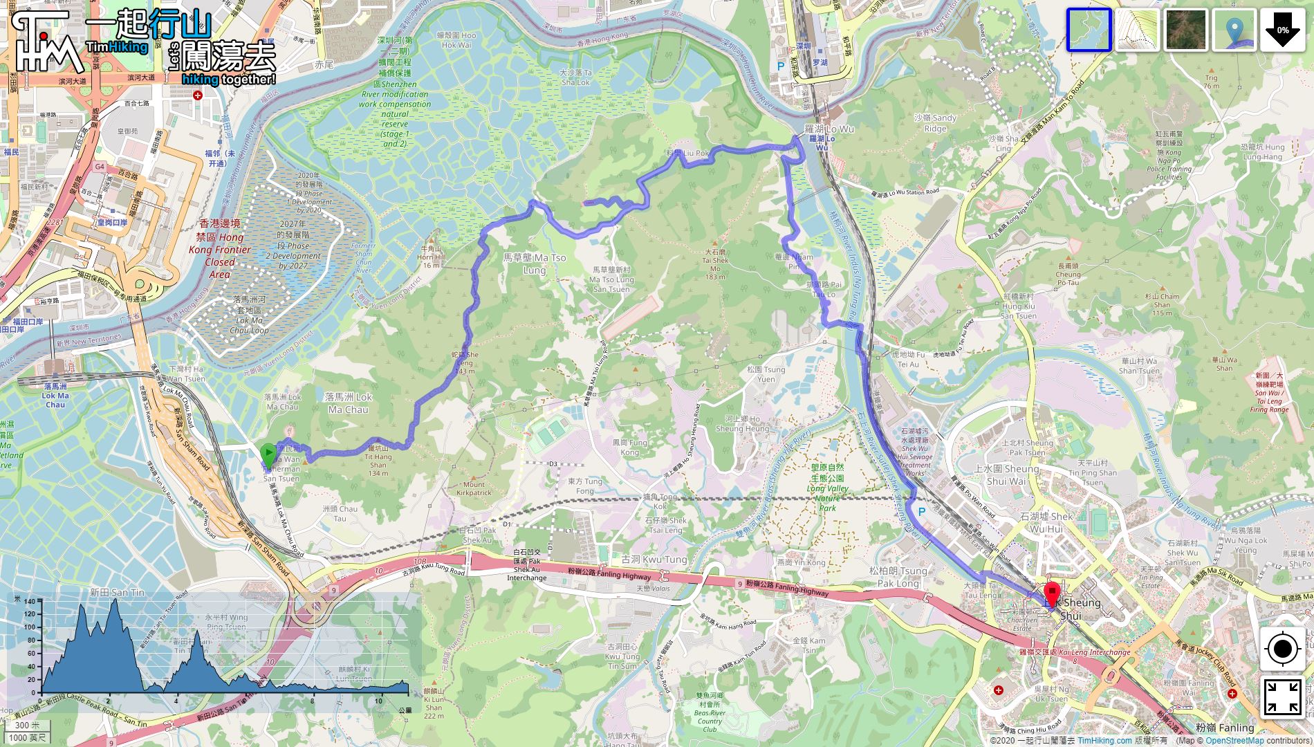
| Length : | 10.8km | ||
| Time : | 5hours | ||
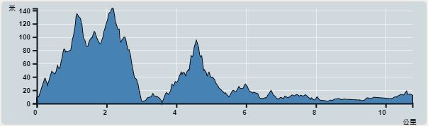 | |
| Ascent : 433m | Descent : 434m |
| Max : 125m | Min : 0m |
| (The accuracy of elevation is +/-30m) | |


 Store
Store

The starting point is at Ha Wan Fisherman San Tsuen. You can take Transit Bus Line B1 at Tin Shui Wai or Yuen Long and get off at Ha Wan Fisherman San Tsuen.

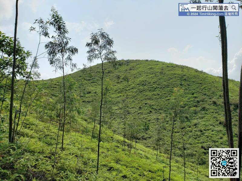


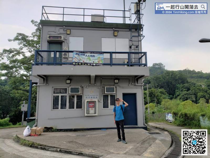
If it is not able to go Tai Shek Mo, go to Ma Tso Lung Police Post. Turn left 50 meters ahead,
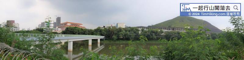
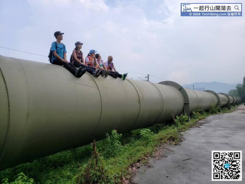
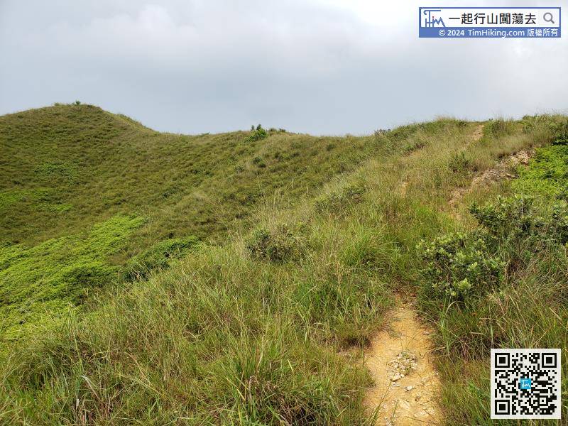
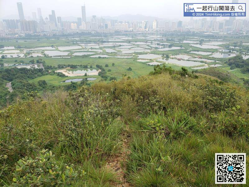
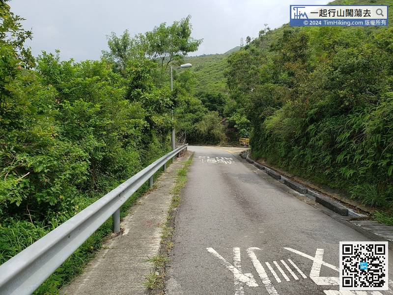
Walk along the Indus River. As it is a high chance of flooding on the straight way, keep to the right and turn up the slope.


