


 Recommend YouTube


| View : |  | ||
| Difficulty : |  | ||
| Path : | |||
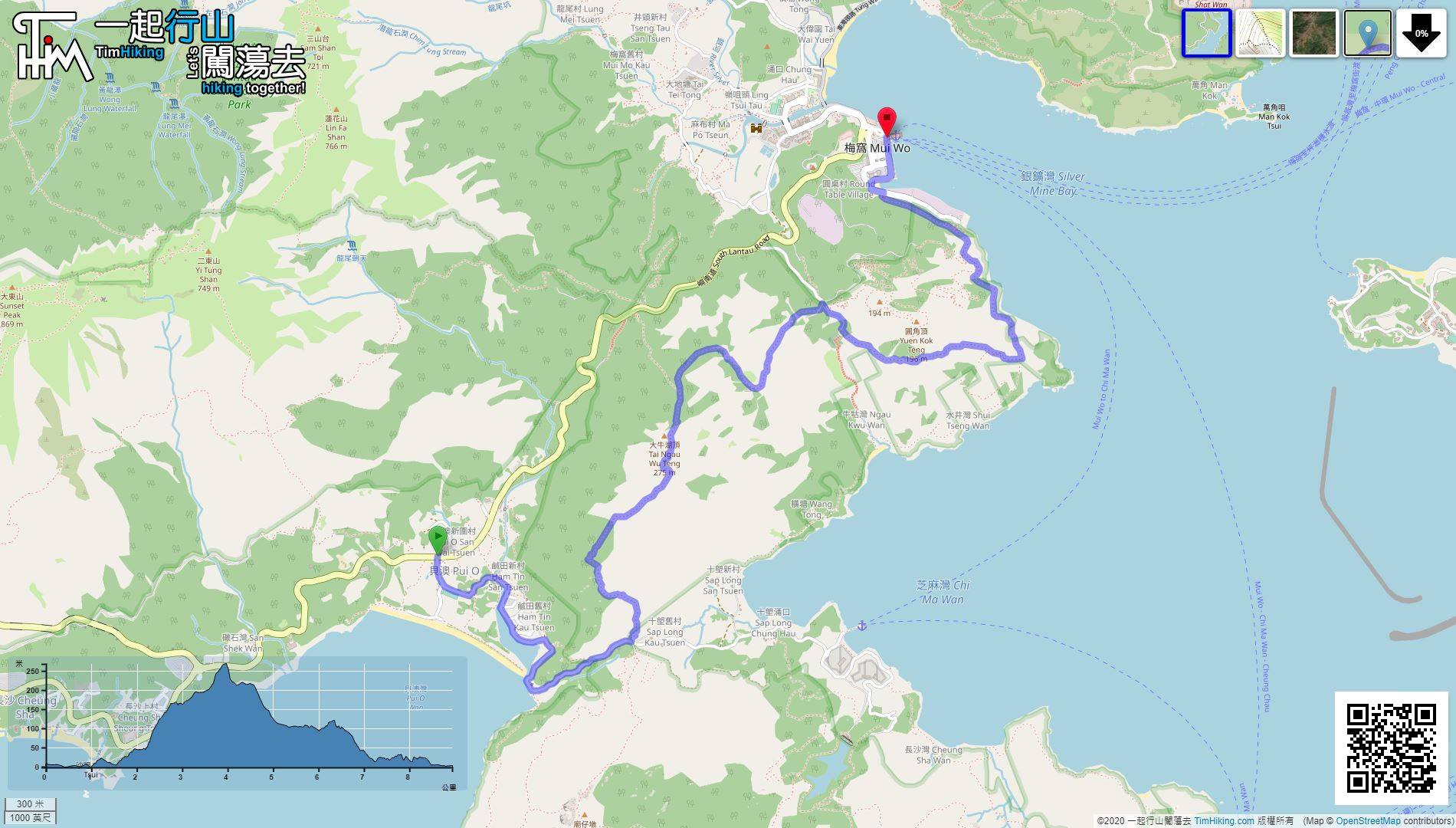
| Length : | 9km | ||
| Time : | 3hours | ||
| 【 Pak Fu Tin Campsite 】 | |||
| Toilet : | Outhouse | ||
| Water : | Stream Water | ||
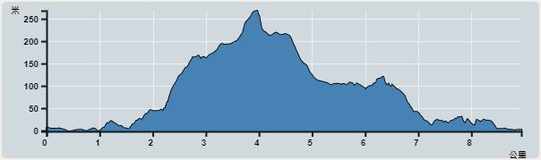 | |
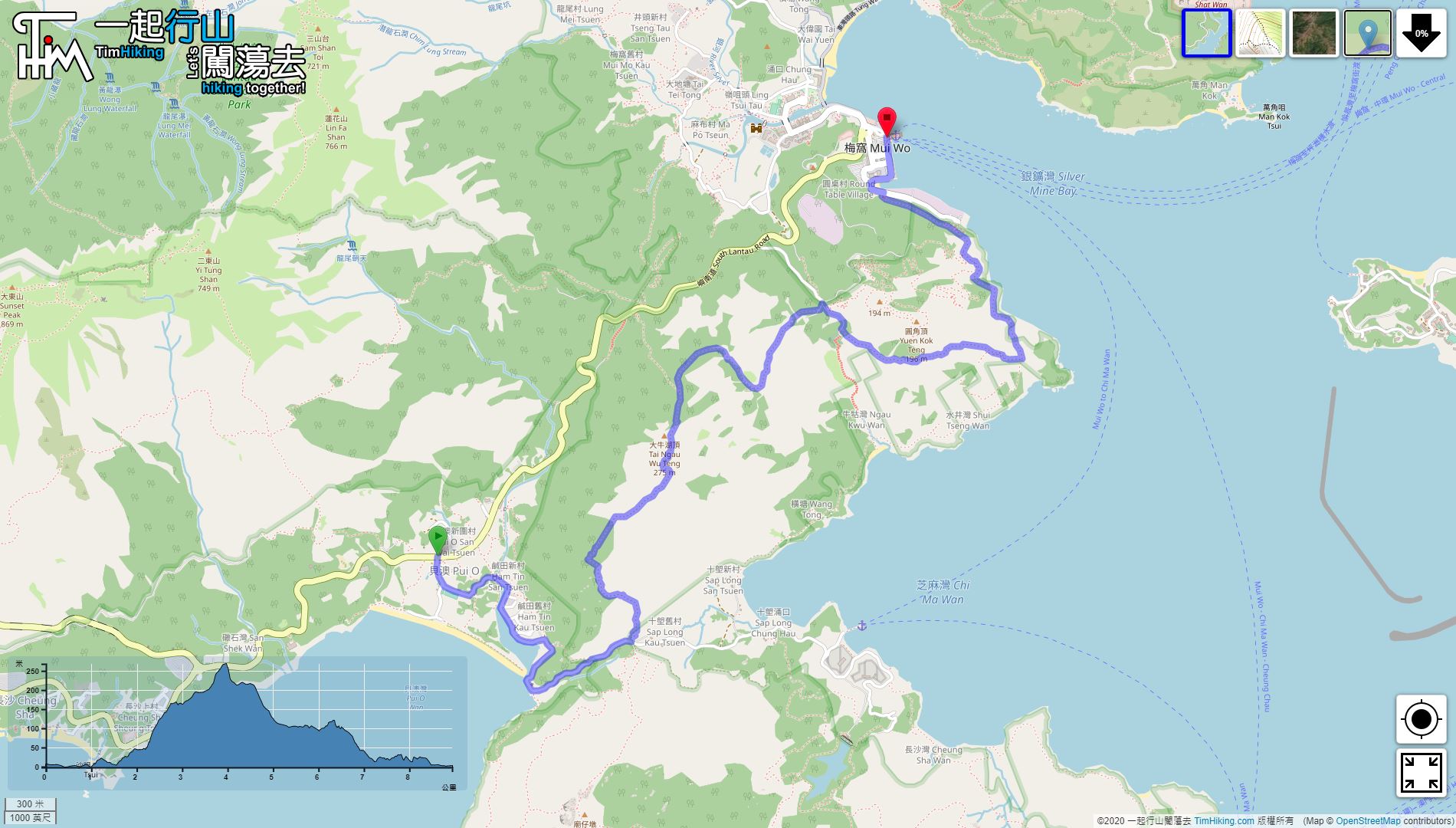
| Ascent : 444m | Descent : 442m |
| Max : 268m | Min : 0m |
| (The accuracy of elevation is +/-30m) | |


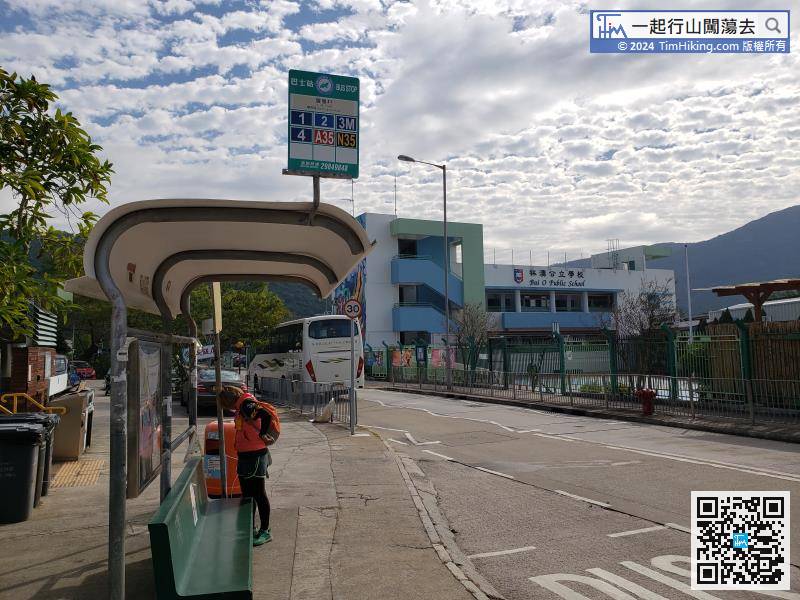
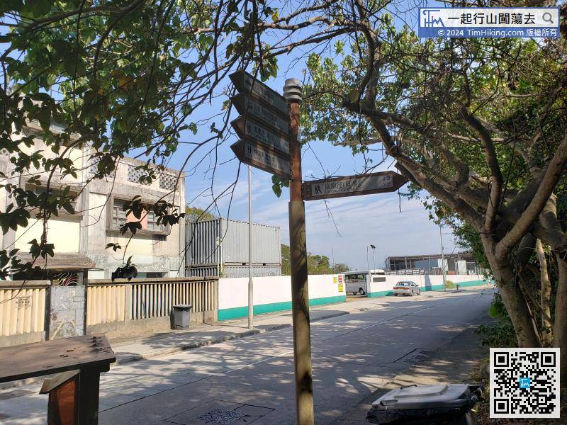
Starting from Pui O, first take the Lantau Bus 1/2/3M/4 and get off at Lo Uk Village.
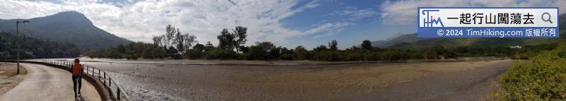
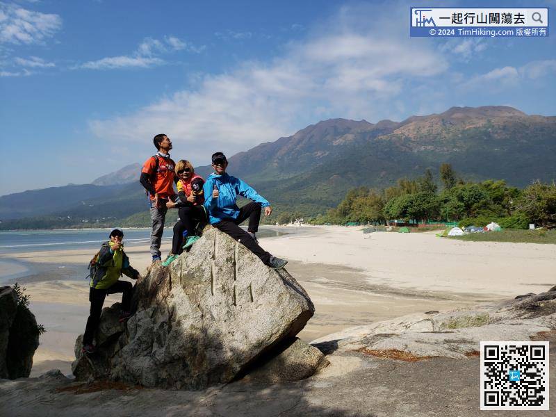
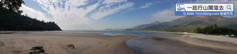
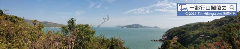
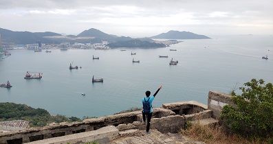
Pui O Beach is a well-known campsite spot. It has ample facilities and beautiful scenery.
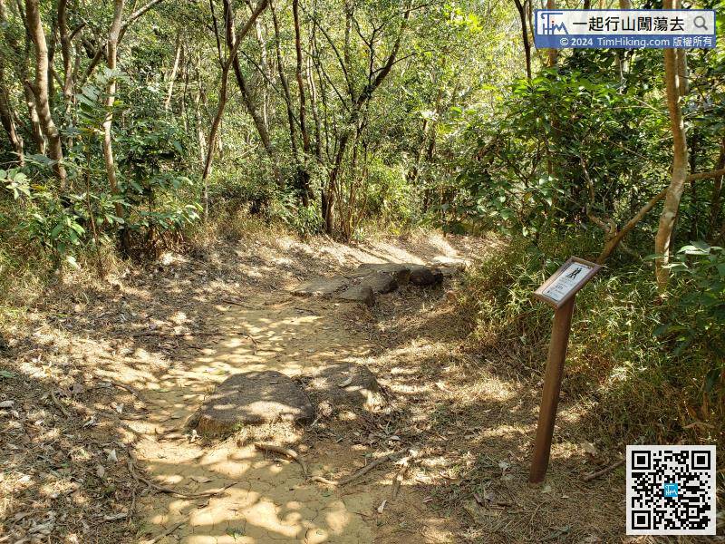
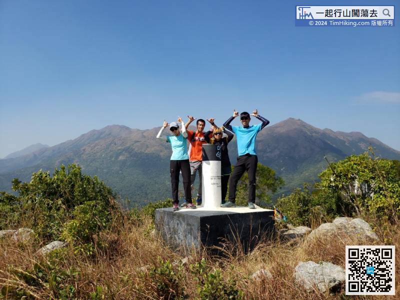
In an instance, the distance post has gone to L131.
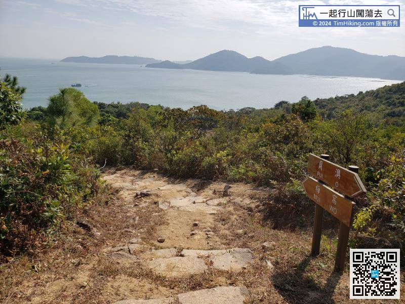
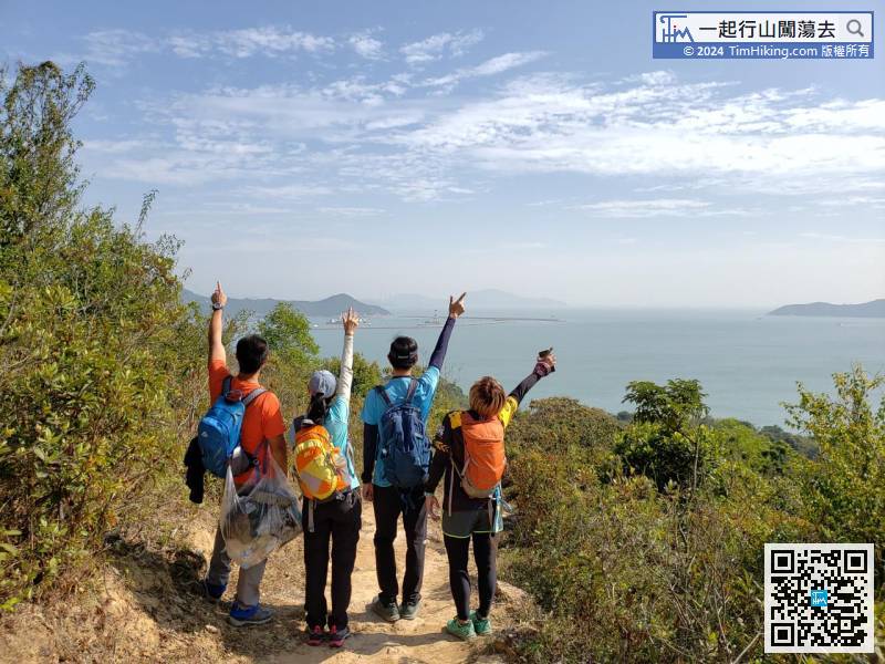
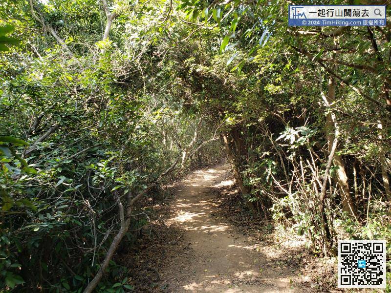
Then, continue to follow the sign and go down the mountain.


