


 Recommend YouTube


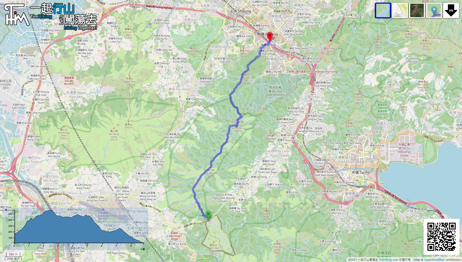
| View : |  | ||
| Difficulty : |  | ||
| Path : | |||
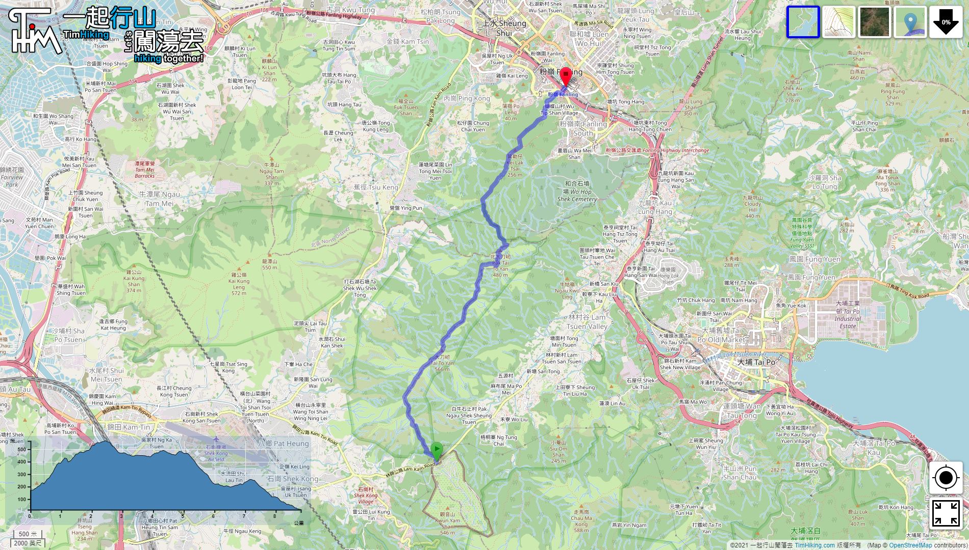
| Length : | 8.9km | ||
| Time : | 4hours | ||
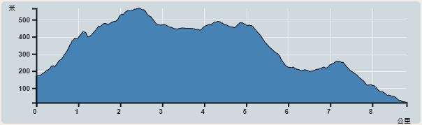 | |
| Ascent : 623m | Descent : 776m |
| Max : 546m | Min : 13m |
| (The accuracy of elevation is +/-30m) | |

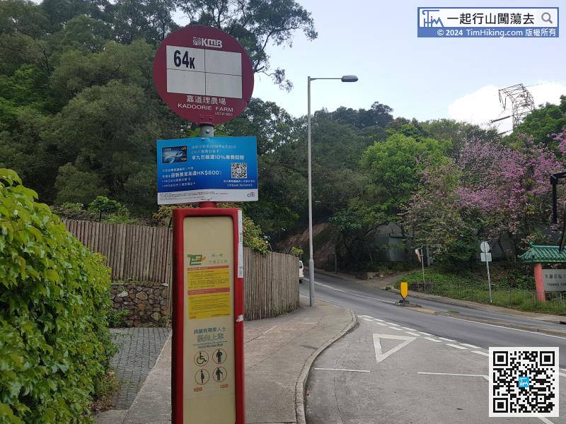
 Fanling商場
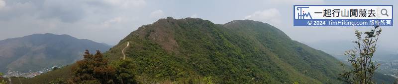
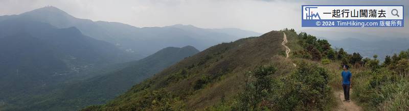
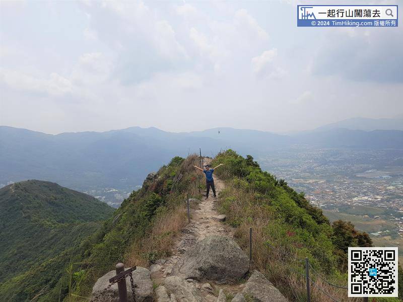
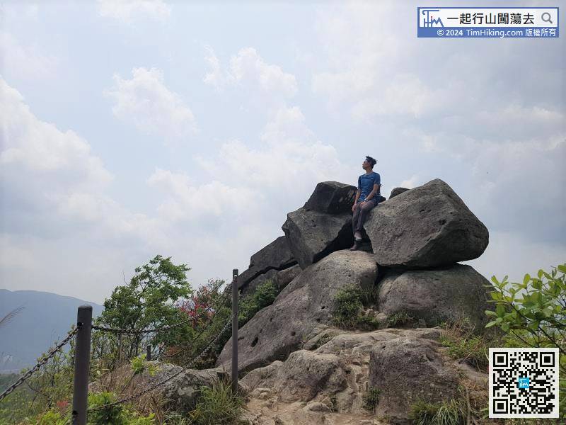
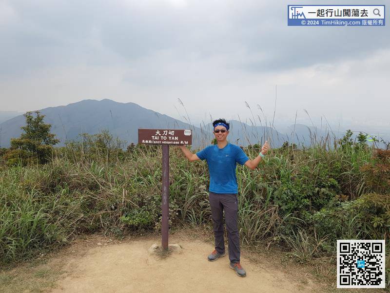
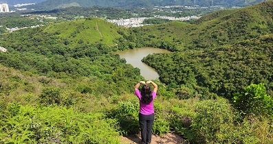
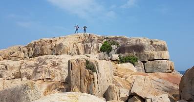
Close to the rock on the top of the mountain, looking back at Tai To Yan is the best place to view it.


