


 Recommend YouTube


| View : |  | ||
| Difficulty : |  | ||
| Path : | |||
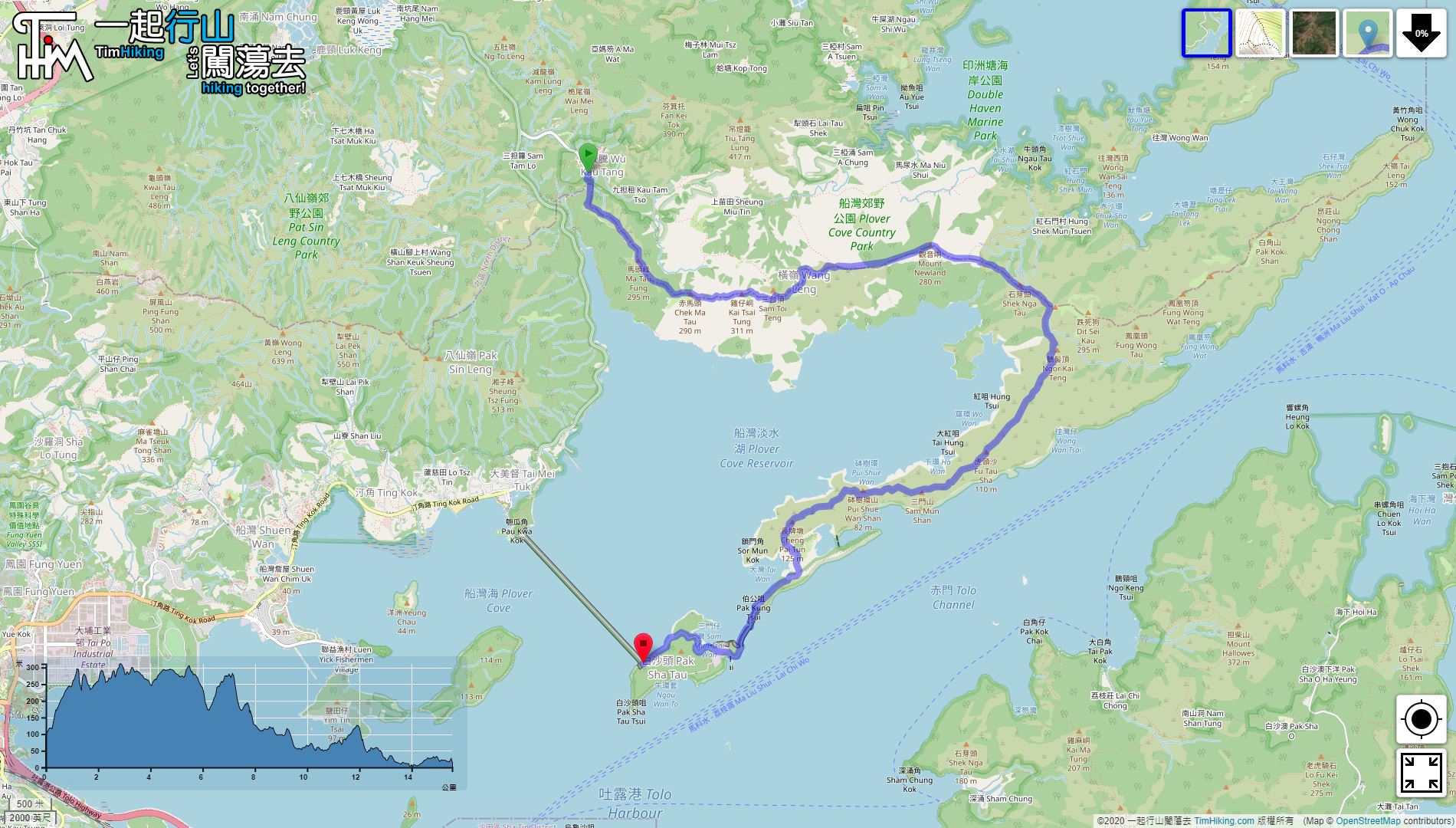
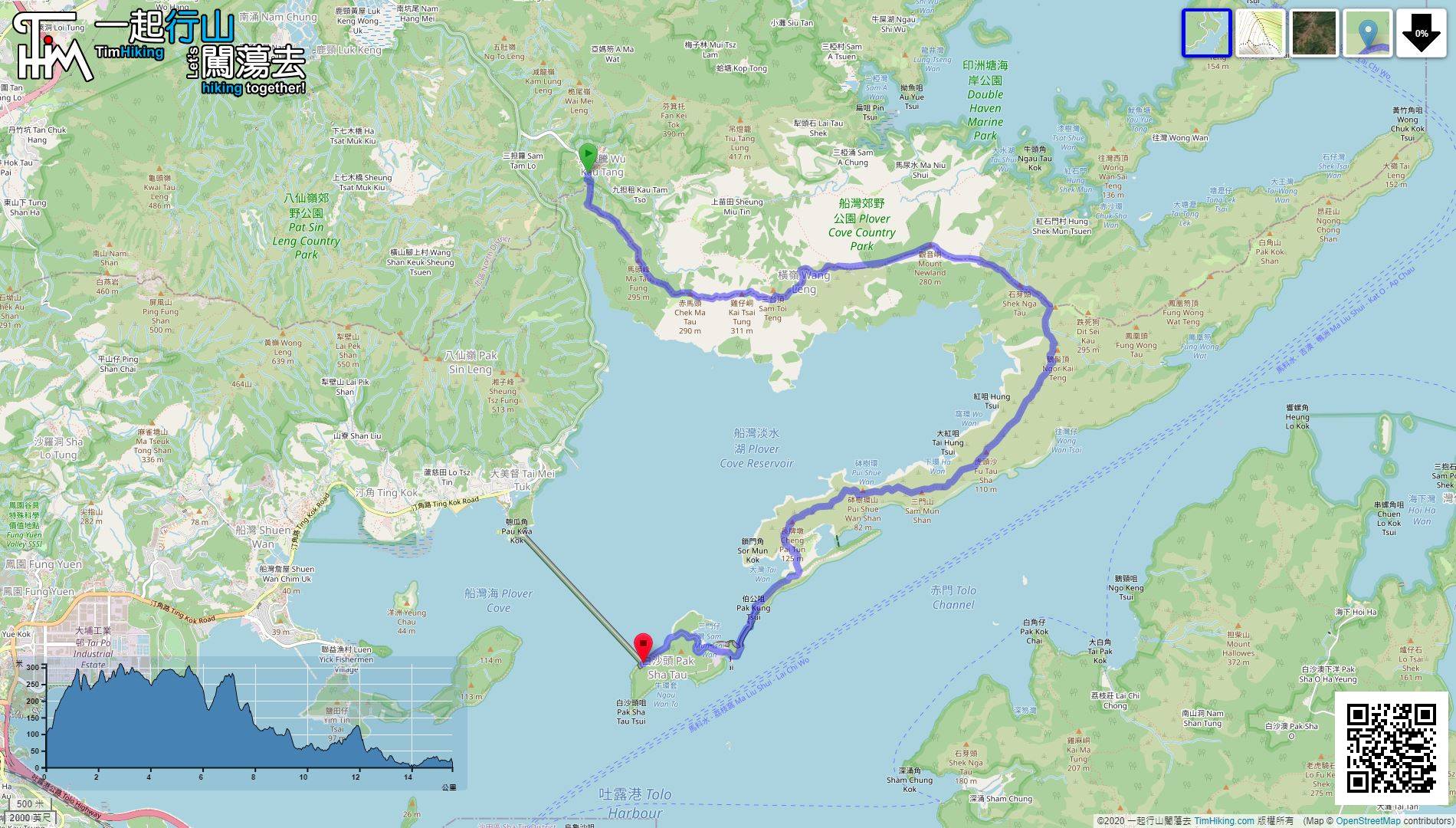
| Length : | 15.6km | ||
| Time : | 7hours | ||
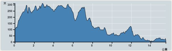 | |
| Ascent : 914m | Descent : 989m |
| Max : 301m | Min : 0m |
| (The accuracy of elevation is +/-30m) | |


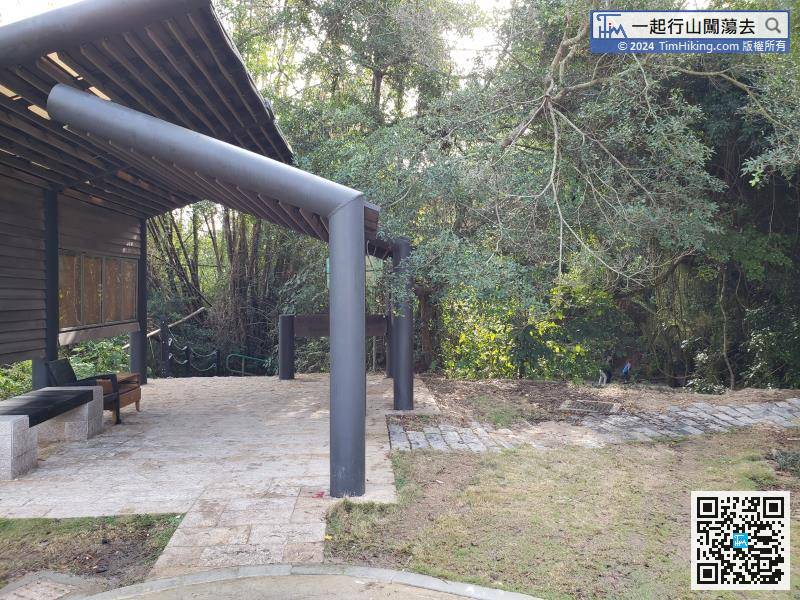
The starting point is at Wu Kau Tang. You can take the 20R minibus to go there, also the holiday bus 275R.
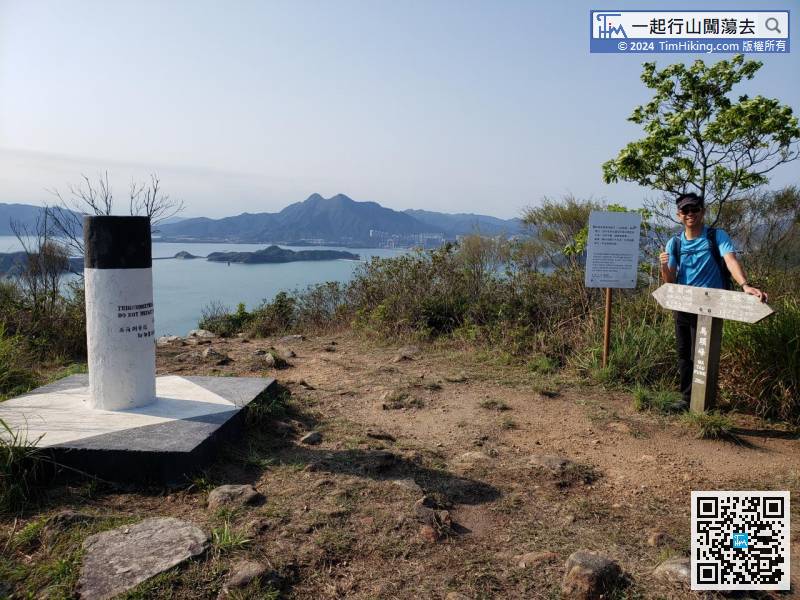
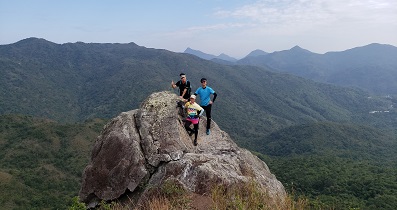
 16︰Ma Tau Fung is 295 meters high. There is a trigonometrical station on the top of the mountain, with a wooden nameplate,
Ma Tau Fung is 295 meters high. There is a trigonometrical station on the top of the mountain, with a wooden nameplate,
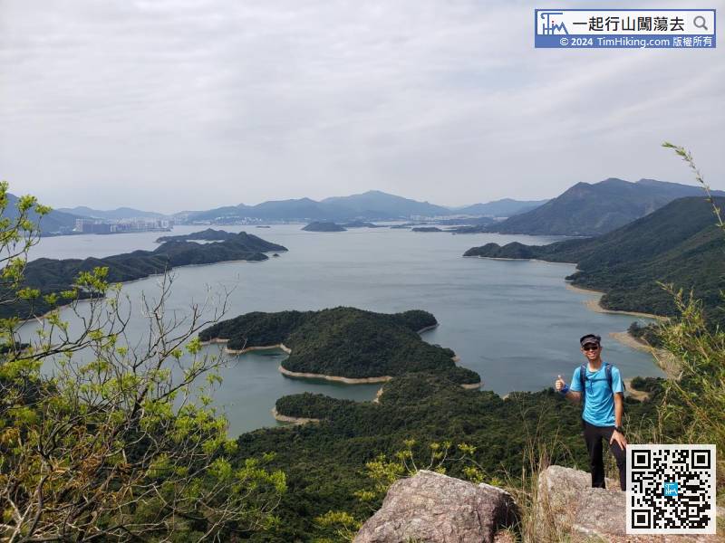
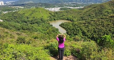
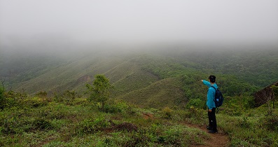
36︰after about 15 minutes,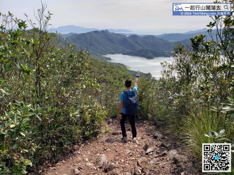 49︰There is a location nearby where can have an unobstructed bird's eye view of the entire Plover Cove Reservoir.
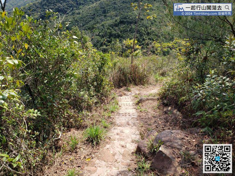 55︰10.5km away from Tai Mei Tuk, and it takes about 3.5 hours.
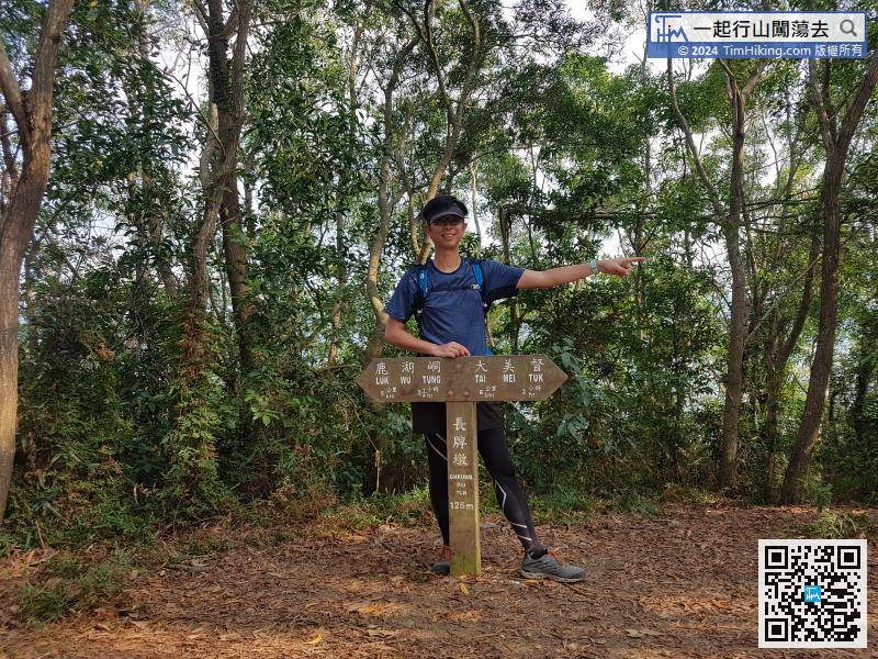
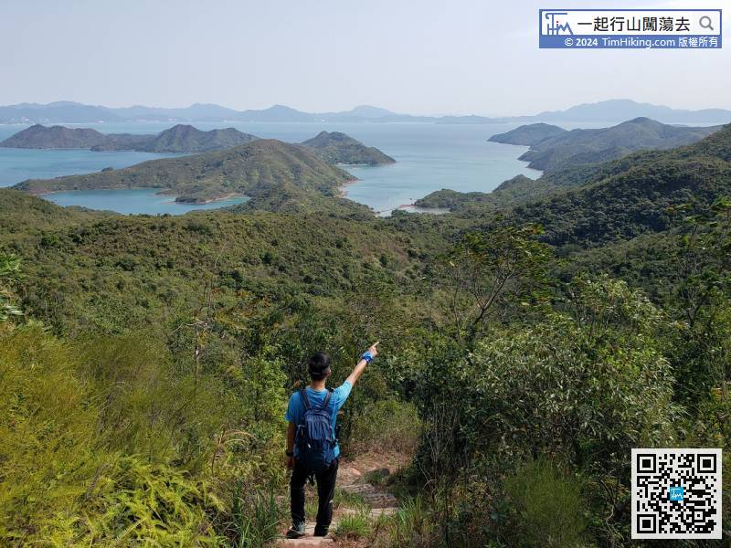
There are still 6km to Tai Mei Tuk and 2km to the subsidiary dam.


