


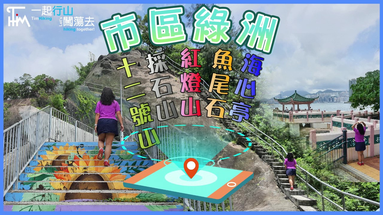
 Recommend YouTube


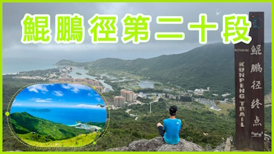
| View : |  | ||
| Difficulty : |  | ||
| Path : | |||
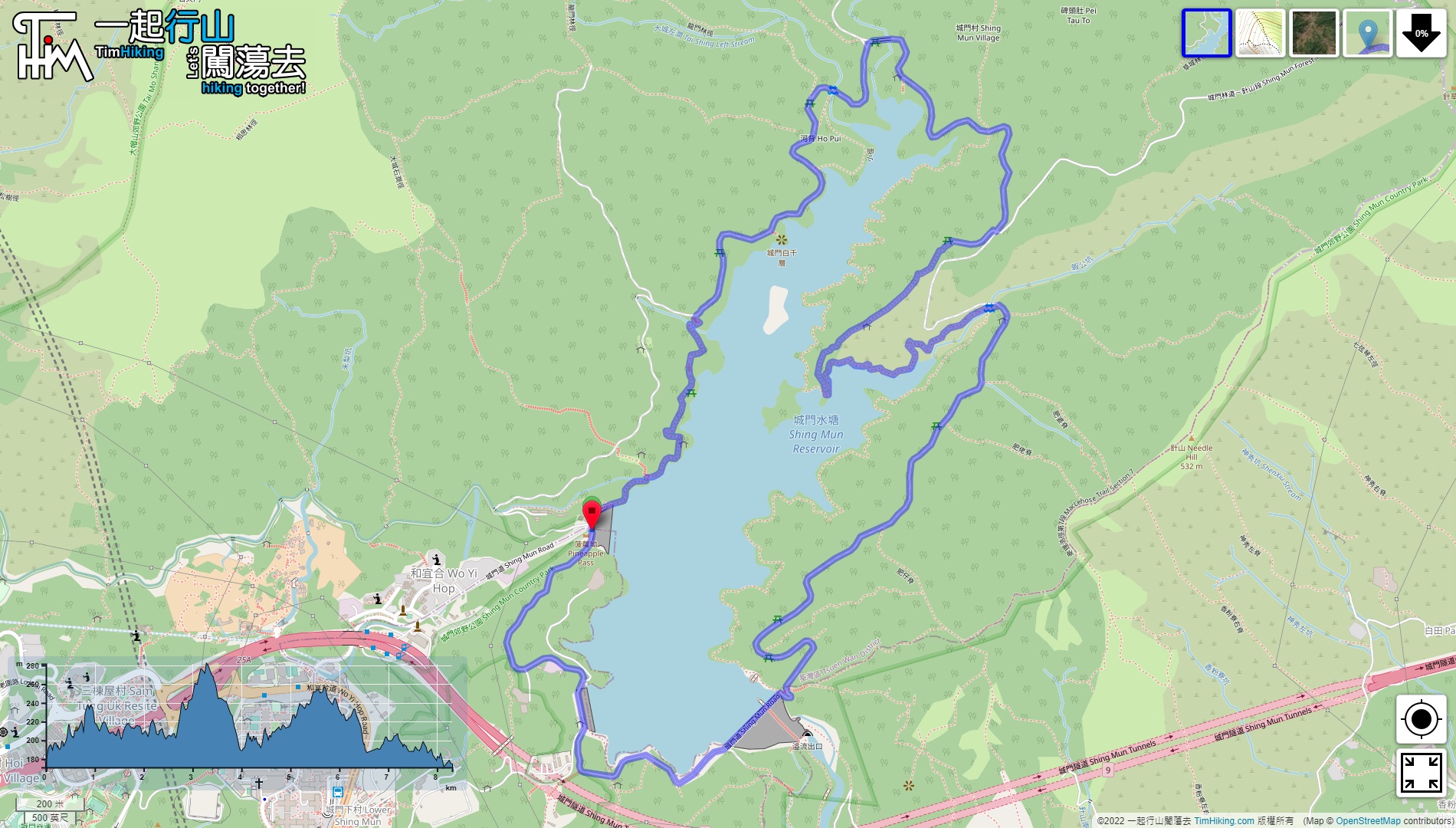
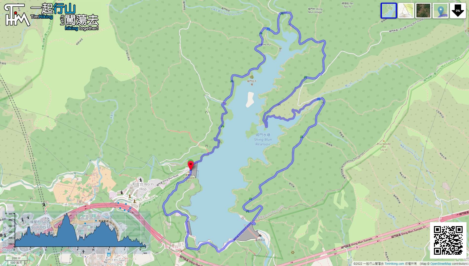
| Length : | 8.4km | ||
| Time : | 3hours | ||
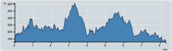 | |
| Ascent : 501m | Descent : 507m |
| Max : 282m | Min : 171m |
| (The accuracy of elevation is +/-30m) | |


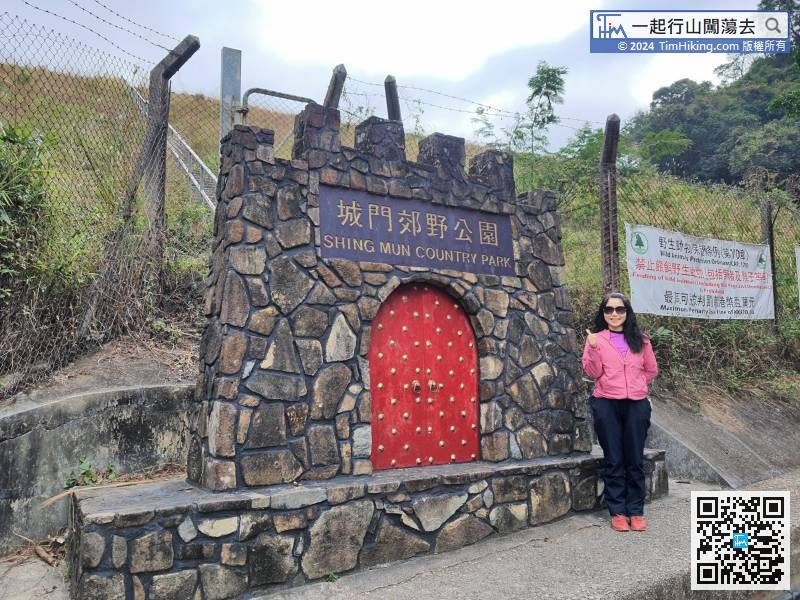
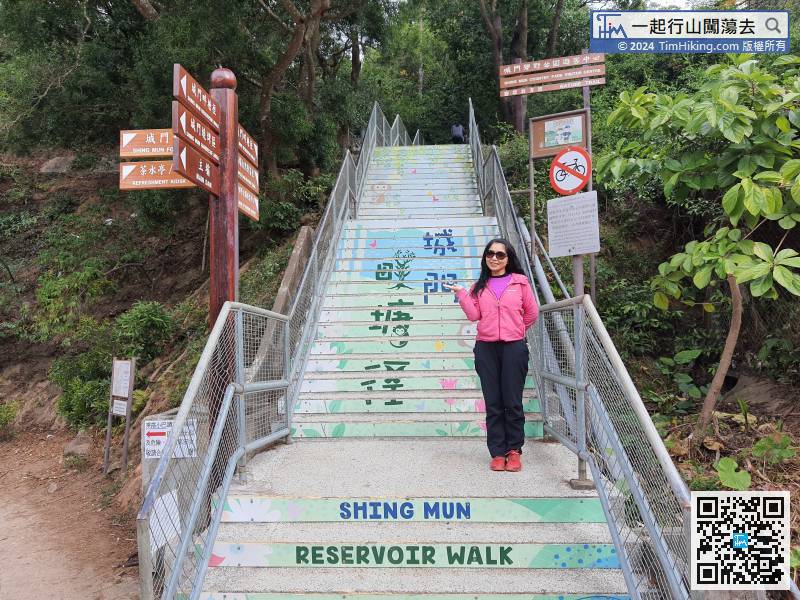
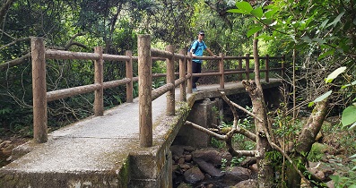
This Nature Trail is so flat, it can be regarded as the smooth Nature Trail.
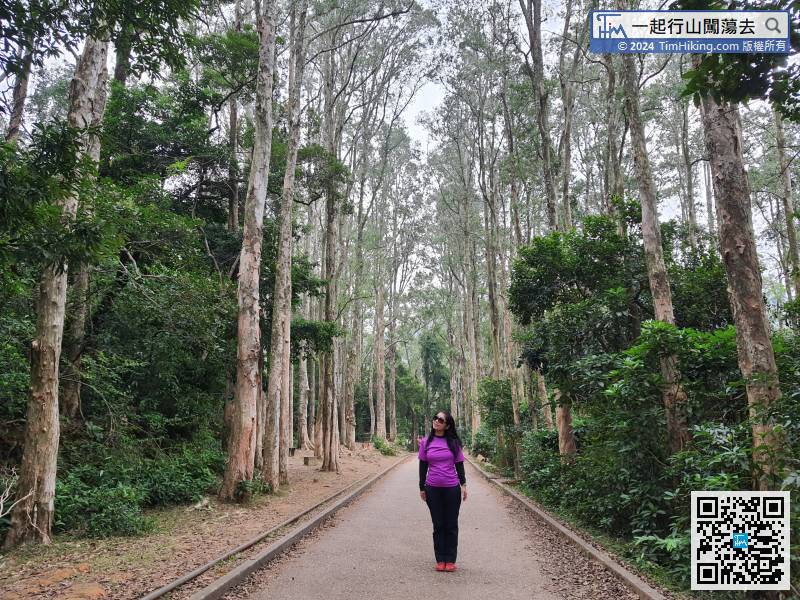
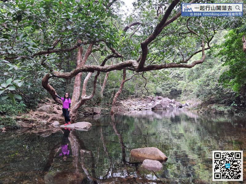
 22︰In an instance, come to Waterside Paperbarks,
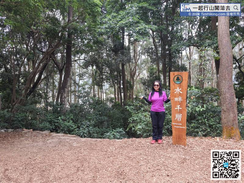 40︰can also go out to the Paper Bark Tree.
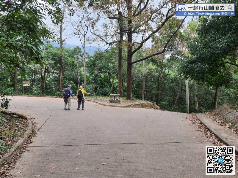
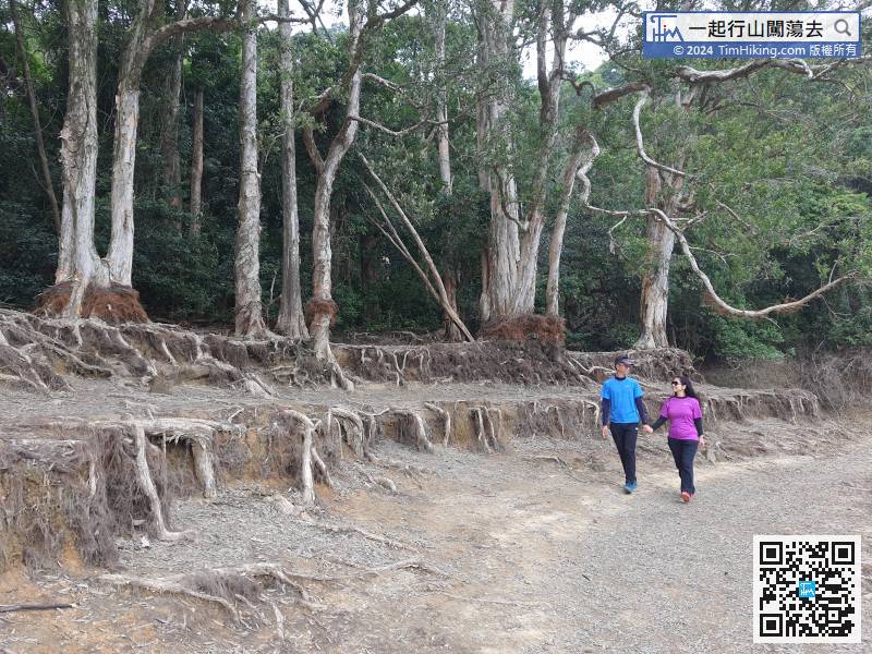
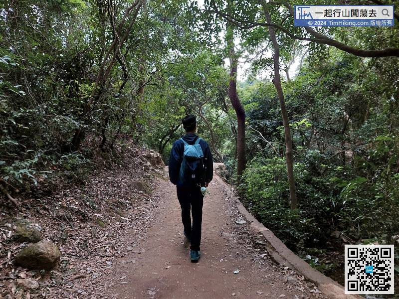
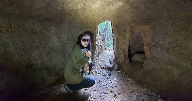
Pay attention to the next important bifurcation. Do not make a mistake.
43︰can find a step down Shing Mun Jogging Trail on the right,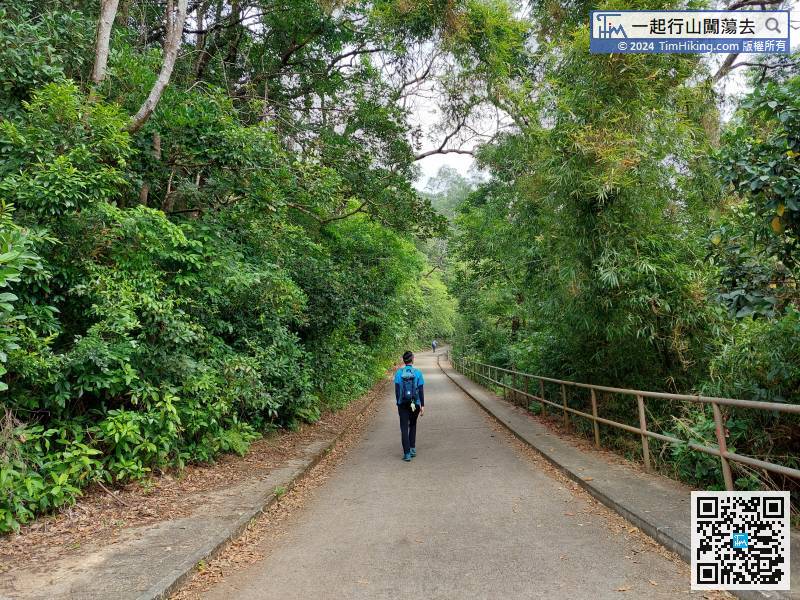 65︰should leave the Jogging Trail from the steps on the left,
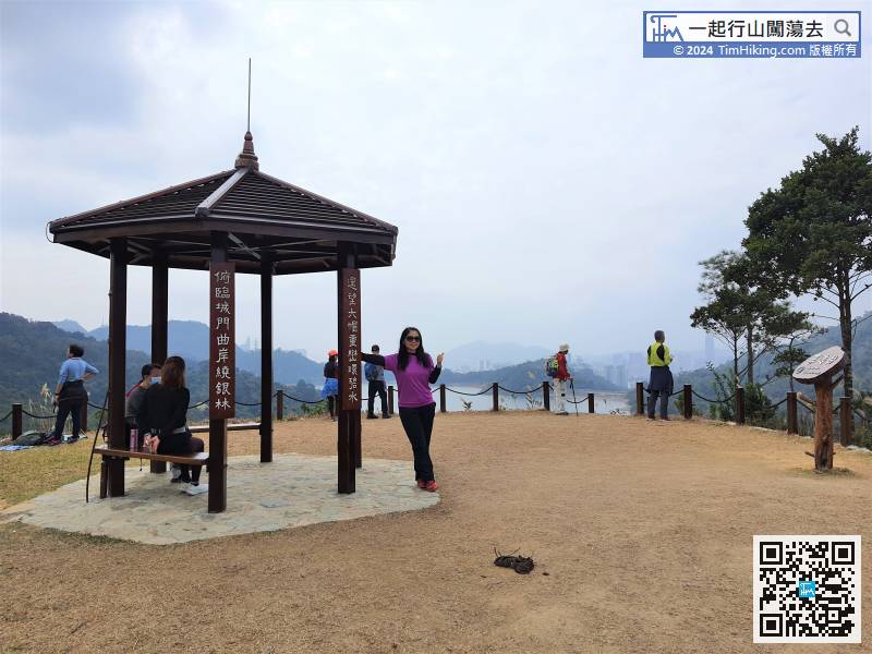
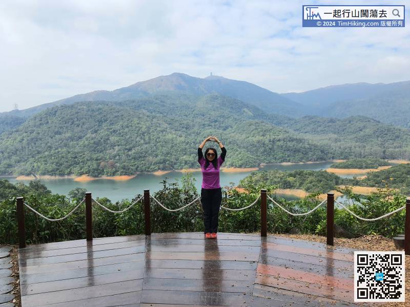
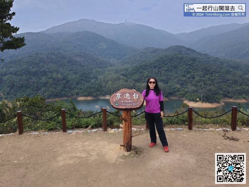
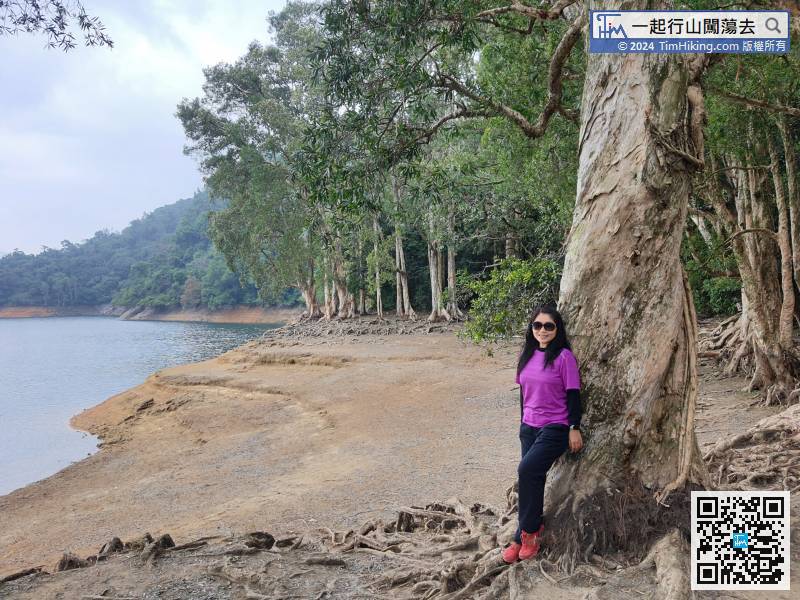
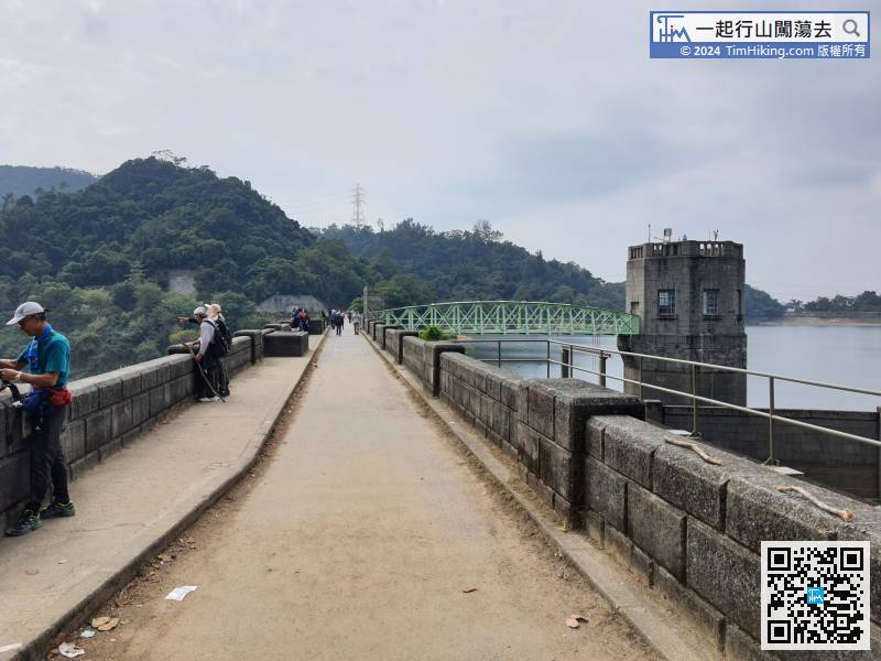
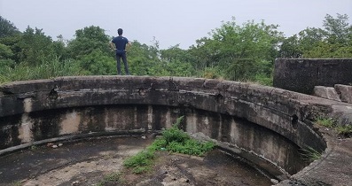
The location of the Shing Mun Leisure Deck is not very high, but it is very close to the reservoir,
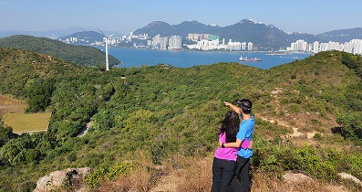
74︰Hikers can enjoy the Shing Mun Reservoir from another angle.
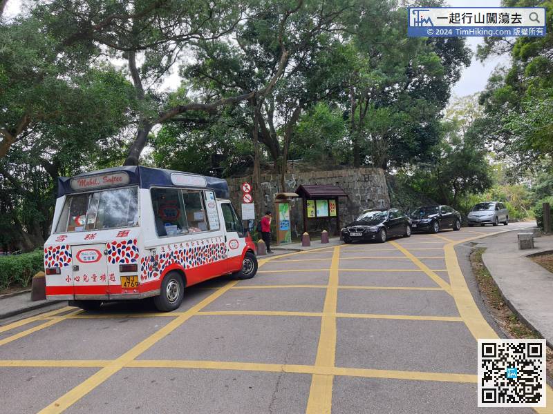
Soon will come to the barbecue area between MacLehose Trail Section 6 and Section 7. There are toilets and drinking machines.


