


 Recommend YouTube


| View : |  | ||
| Difficulty : |  | ||
| Path : | |||
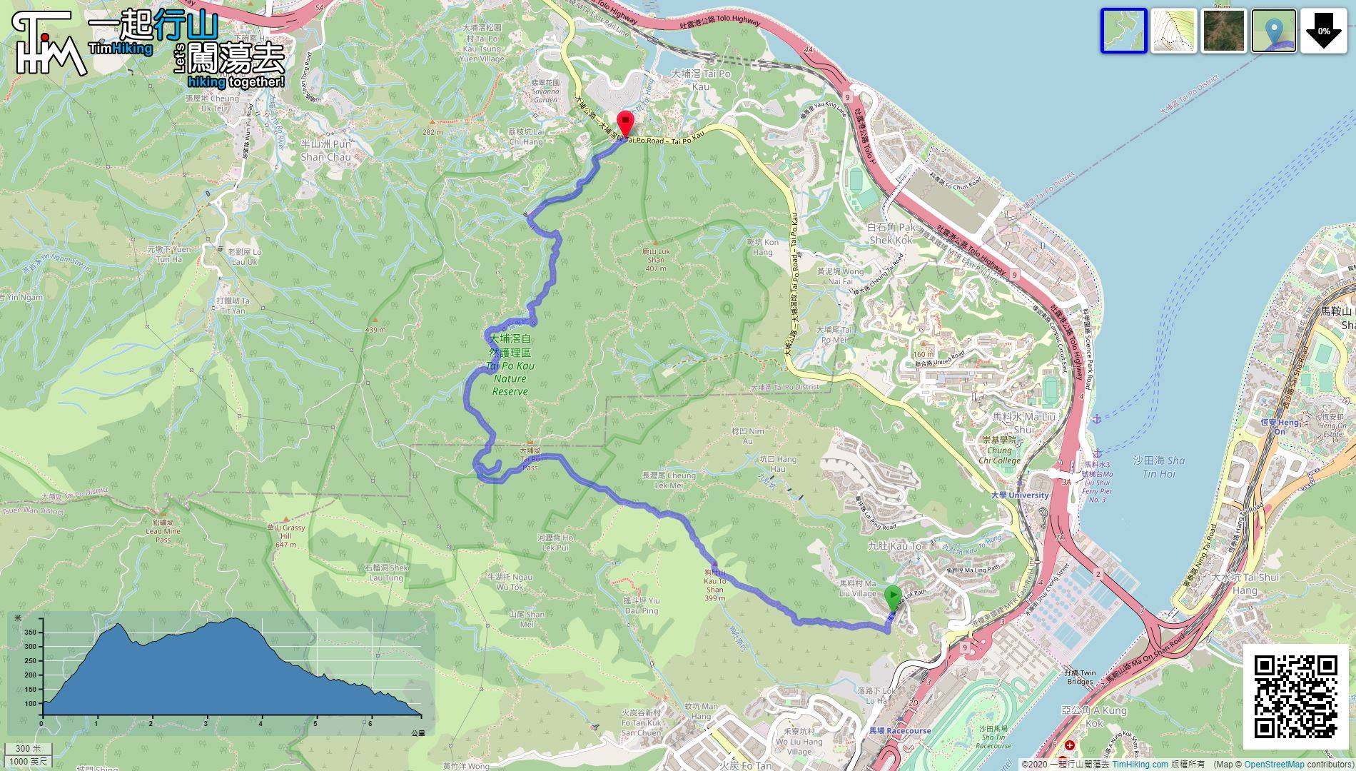
| Length : | 6.9km | ||
| Time : | 3½hours | ||
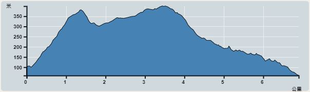 | |
| Ascent : 455m | Descent : 498m |
| Max : 399m | Min : 58m |
| (The accuracy of elevation is +/-30m) | |


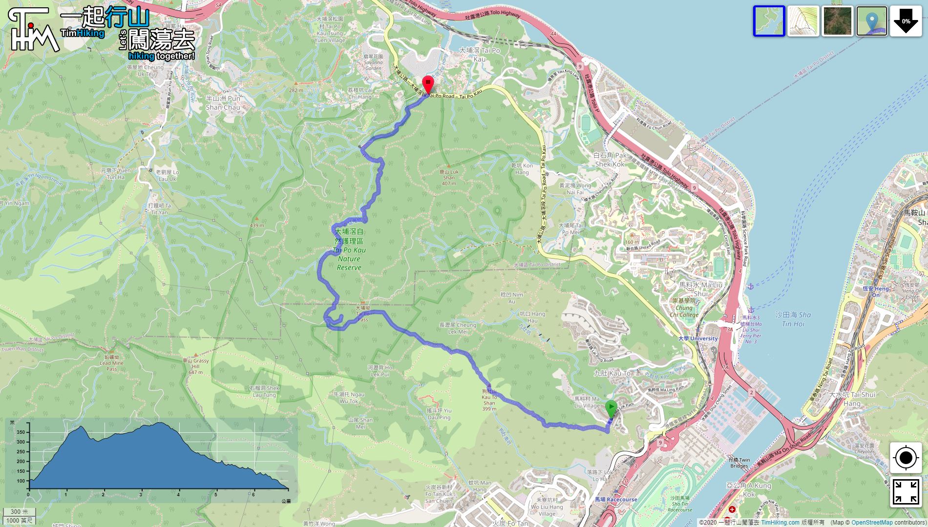
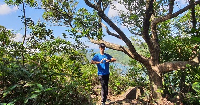
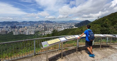
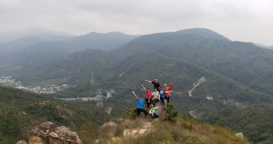
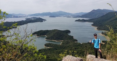
 11︰can enjoy Fo Tan, racecourse, can also see Nui Po Shan, Ma On Shan, etc.
To get to the foot of Cove Hill, you can only take the minibus 66K at Shatin Station,
12︰Do not go to the end of boulder slope, return to boulder front and turn right,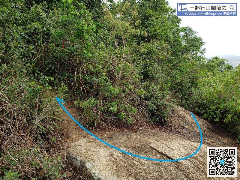
Do not go to the end of boulder slope, return to boulder front and turn right,
30︰When coming to a large open area, it was actually a helipad,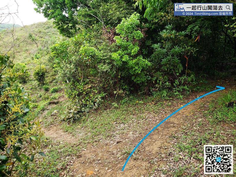
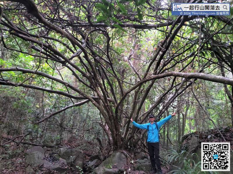
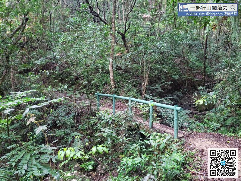
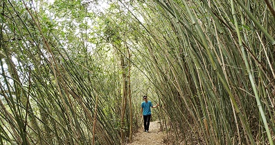
Walking to a bifurcated road that is not too obvious, keep to the right and walk into the jungle.
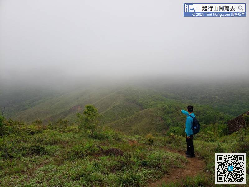
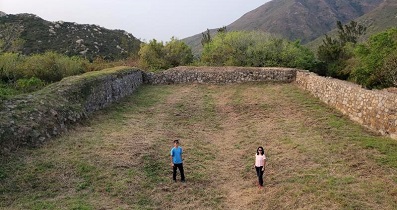
37︰This mountain fire lookout is enclosed and cannot be approached.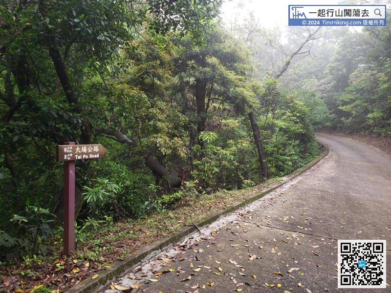
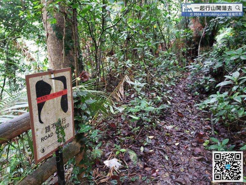
When getting to the sign of 'No Through Road Ahead', do not cross the wooden fence, because it is really a more dangerous falling stream route. The correct route is to keep to the right,


