


 Recommend YouTube


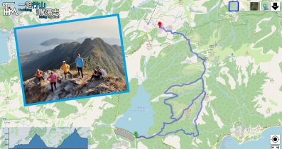
| View : |  | ||
| Difficulty : |  | ||
| Path : | |||
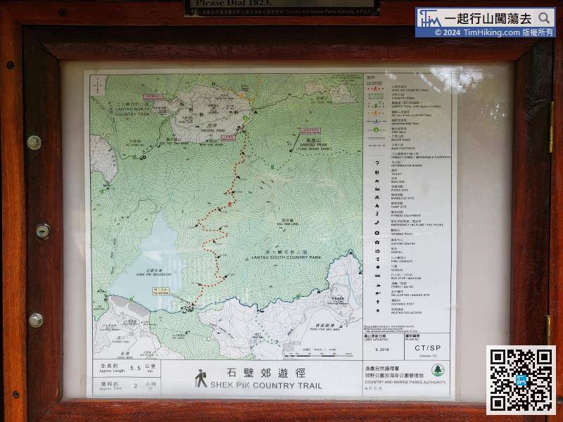
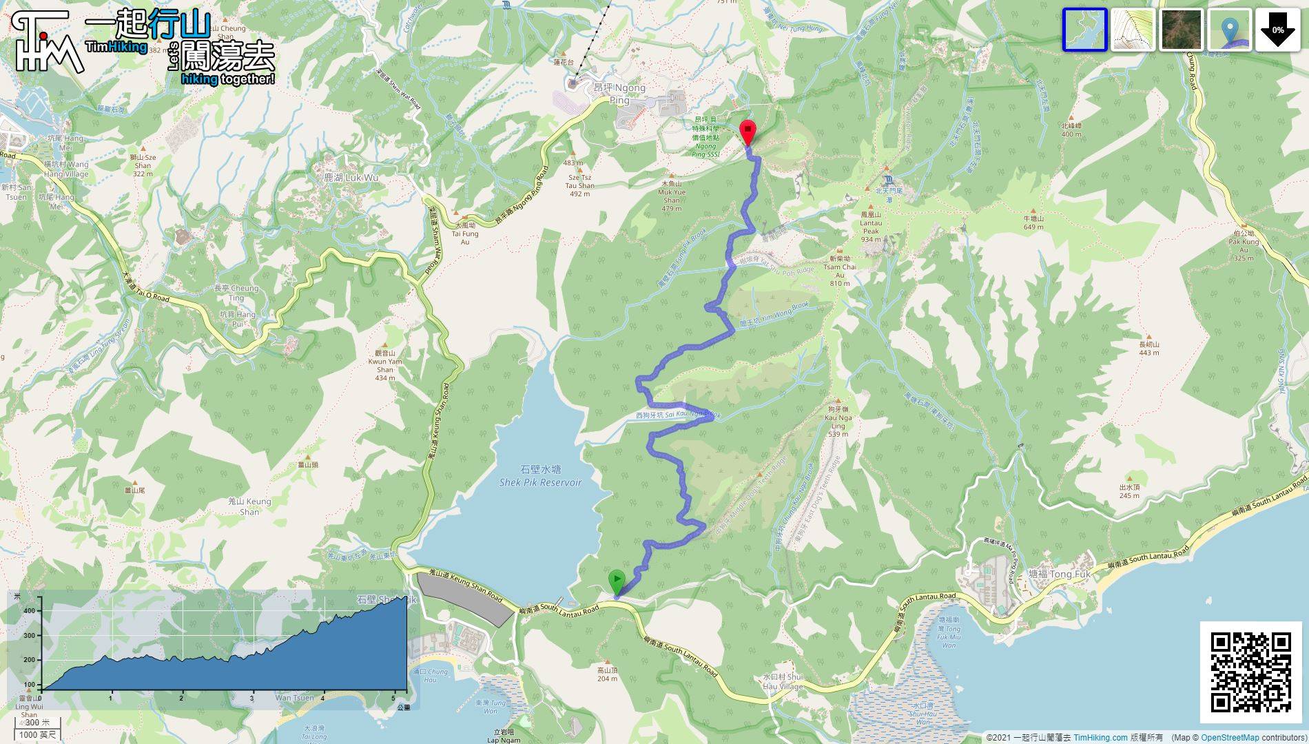
| Length : | 5.2km | ||
| Time : | 2hours | ||
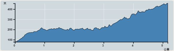 | |
| Ascent : 691m | Descent : 317m |
| Max : 456m | Min : 79m |
| (The accuracy of elevation is +/-30m) | |


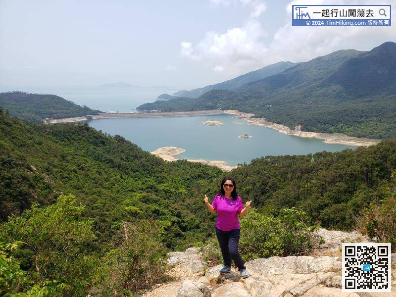
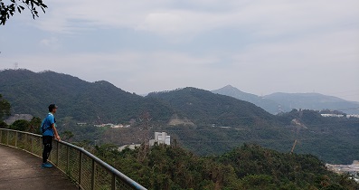
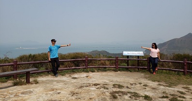
 3︰see the magnificent peaks such as Kau Nga Ling and Lantau Peak.
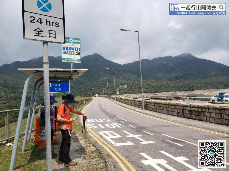
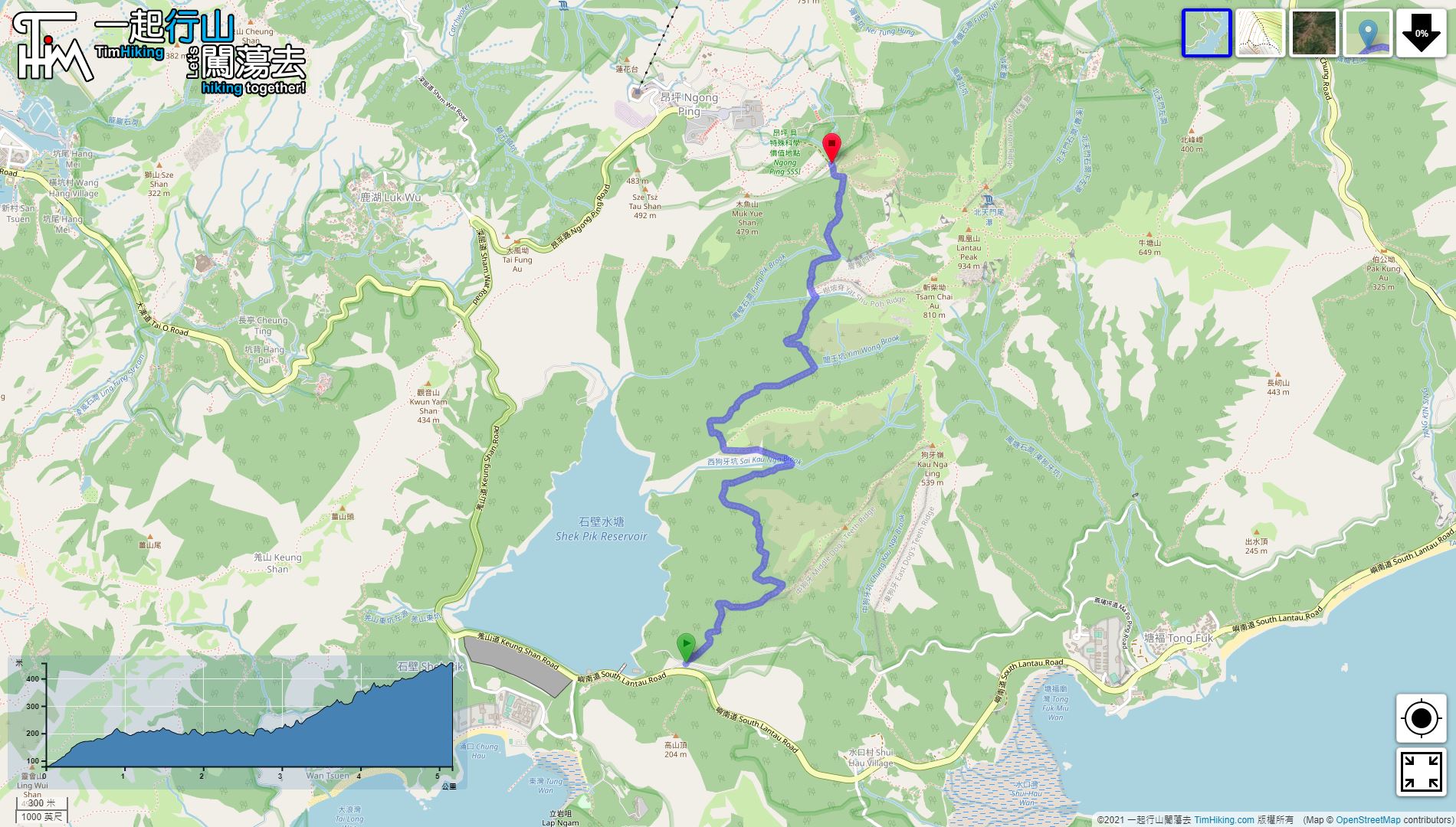
The starting point is Shek Pik Reservoir. You can take Lantau Bus 11 and get off at Shek Pik Police Post.
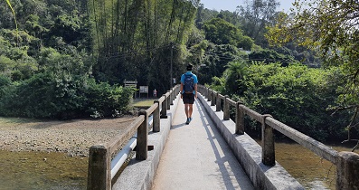
 22︰passing some streams from time to time.
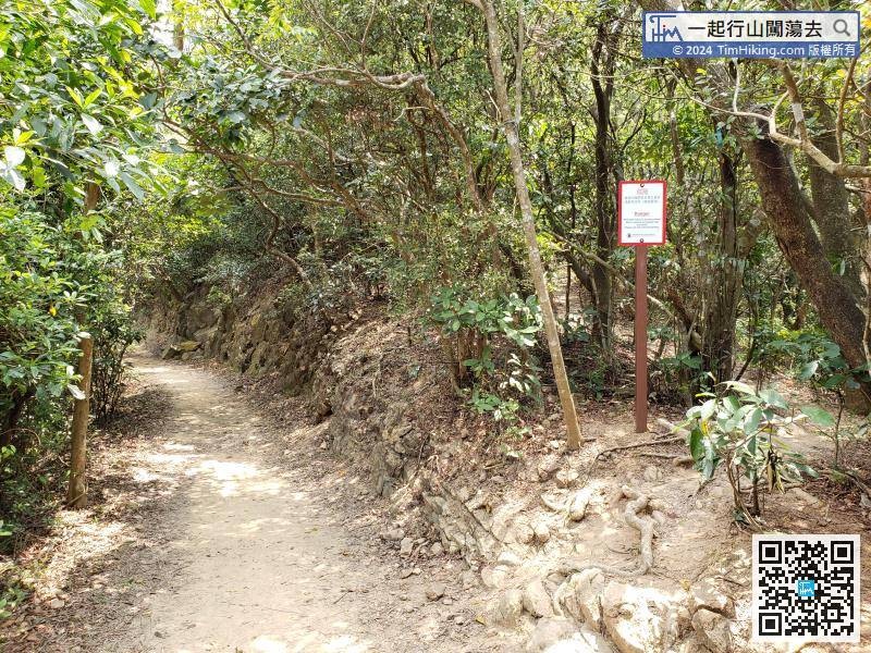
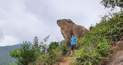
On the way, the hazard warning sign on the right-hand side, which leads to the baren trail to Chung Kau Nga Ridge.
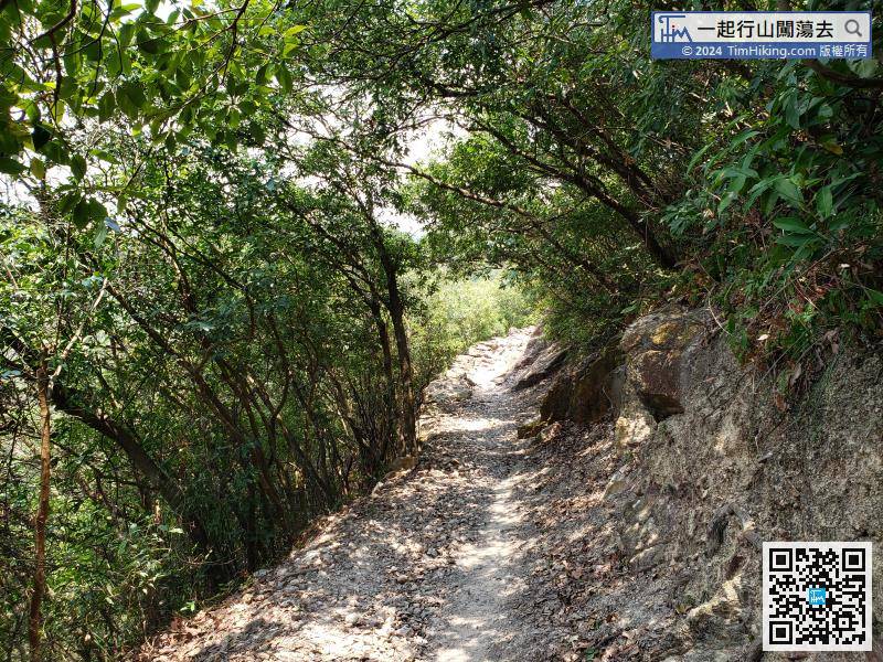
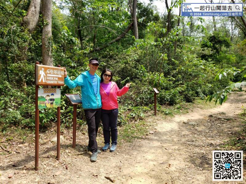
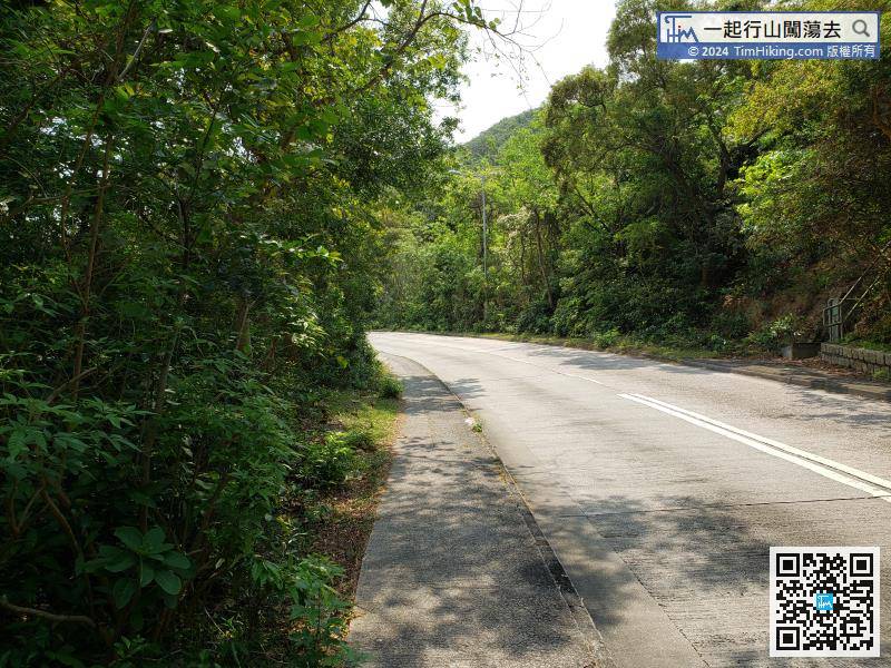
When coming to the middle of Shek Pik Country Trail, continue to be a flat mountain trail,
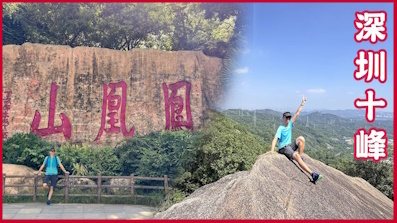
39︰Next to the large archway of Lantau Trail, there is a large phoenix statue for taking pictures.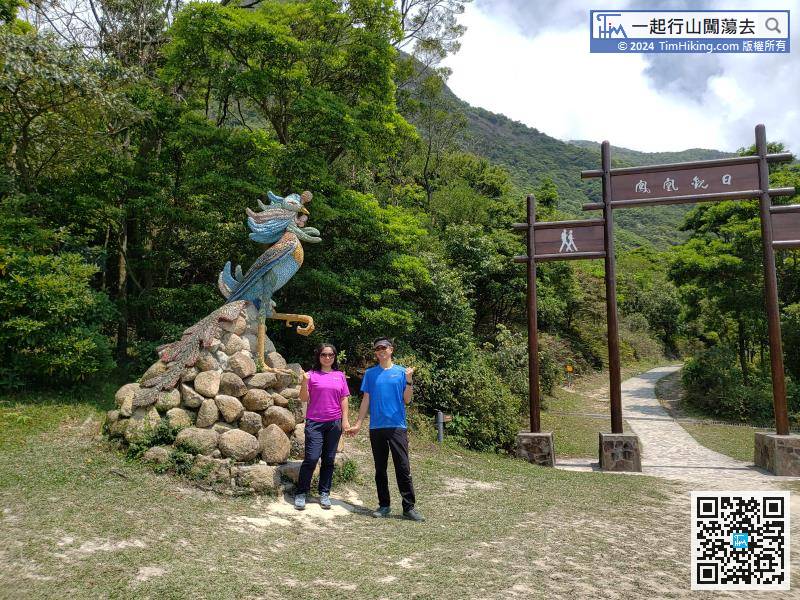
Next to the large archway of Lantau Trail, there is a large phoenix statue for taking pictures.


