


 Recommend YouTube


| View : |  | ||
| Difficulty : |  | ||
| Path : | |||
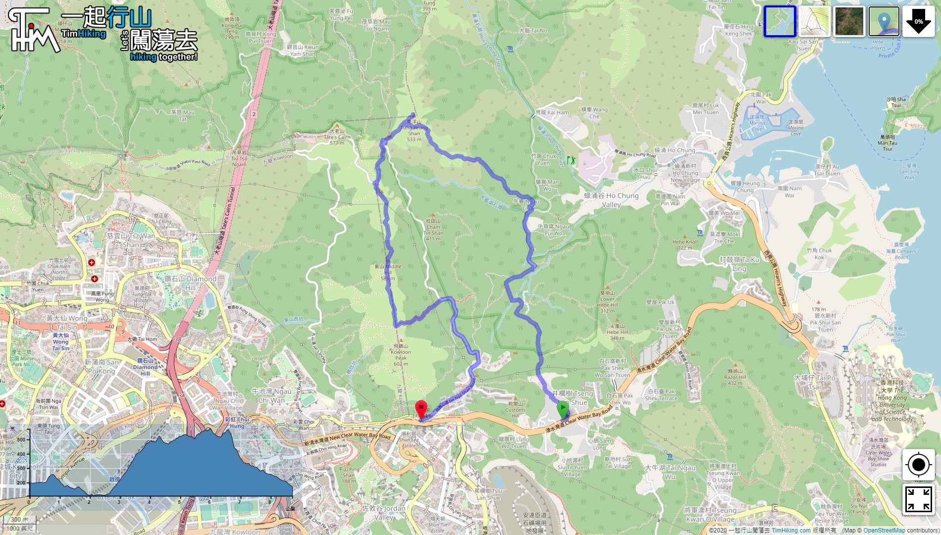
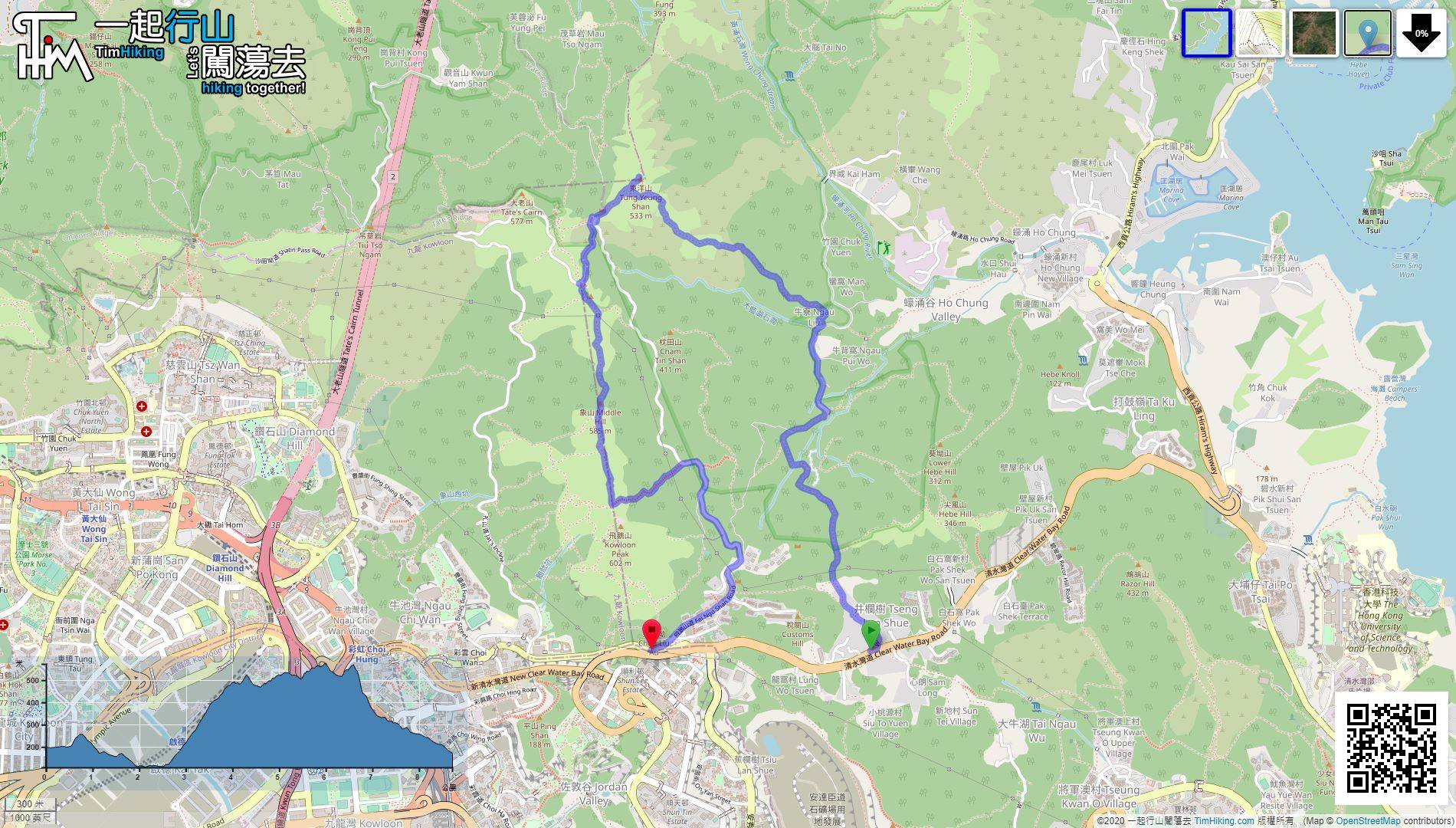
| Length : | 8.6km | ||
| Time : | 5hours | ||
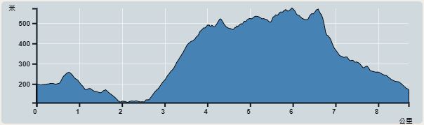 | |
| Ascent : 754m | Descent : 781m |
| Max : 573m | Min : 108m |
| (The accuracy of elevation is +/-30m) | |


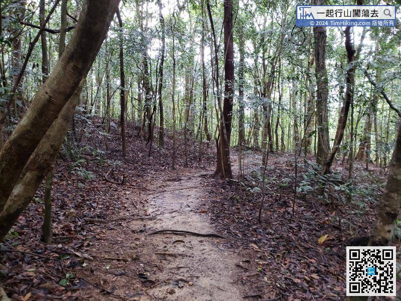
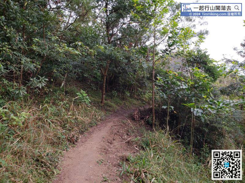
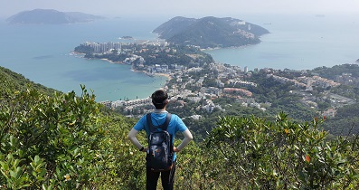
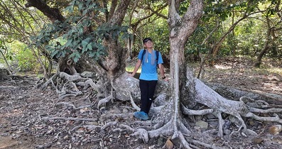
Walking between the mountains and forests, there are plenty of trees, even in the hot summer.
 30︰keep to the right on the new road Tung Yeung Shan,
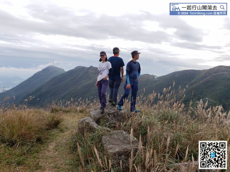
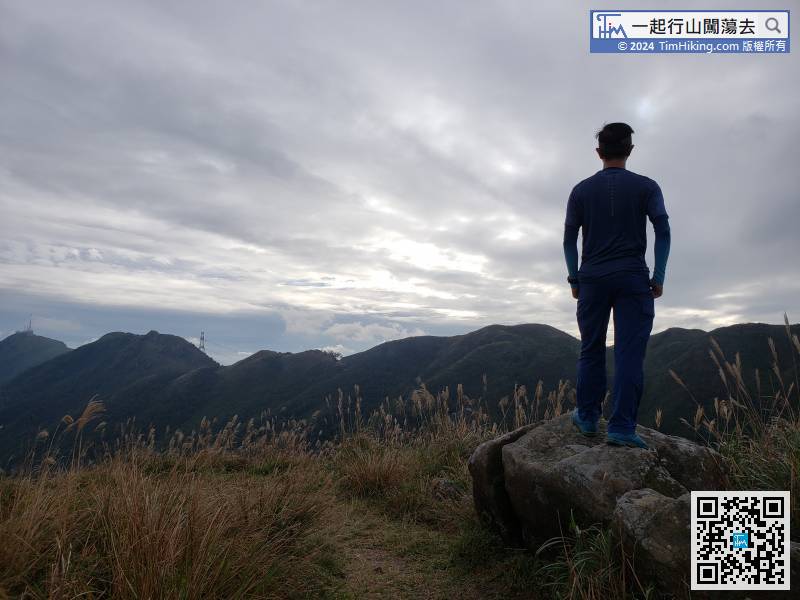
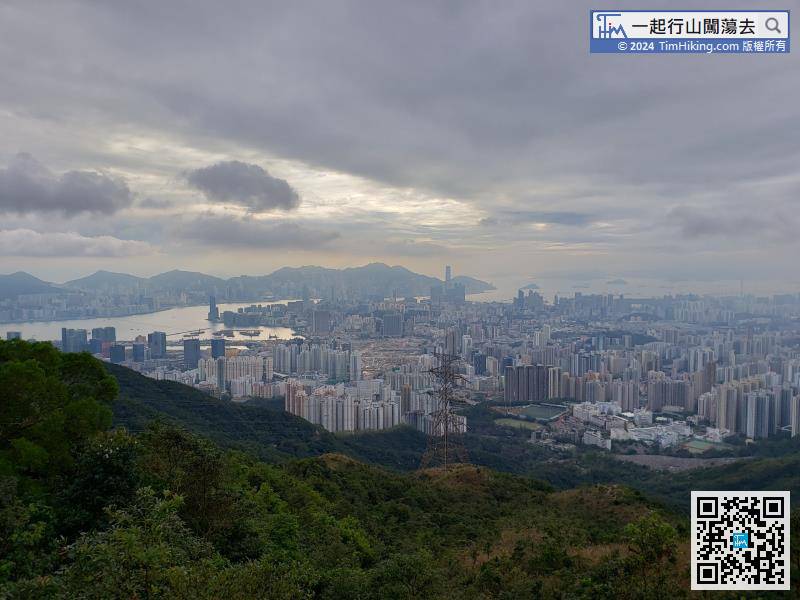
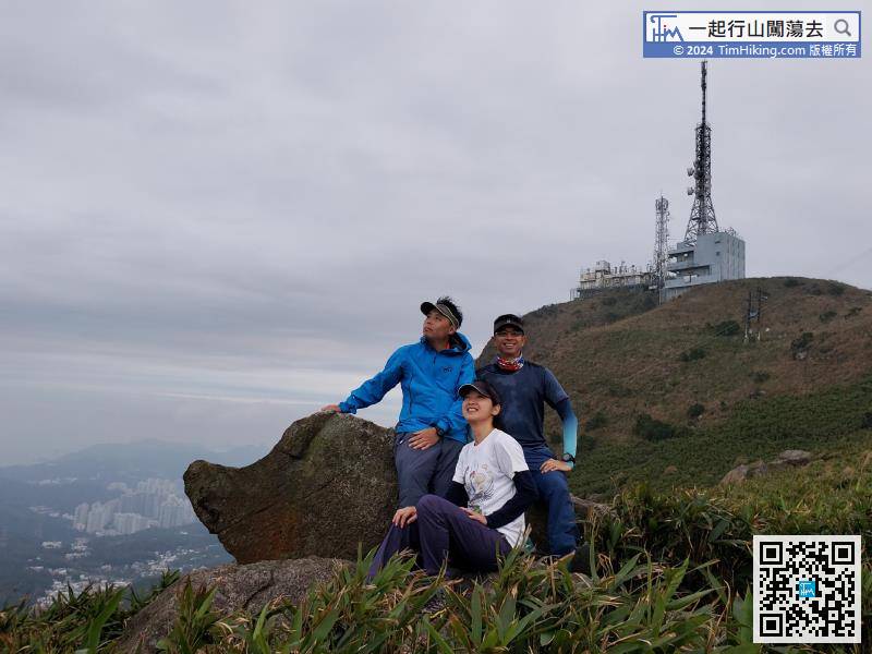
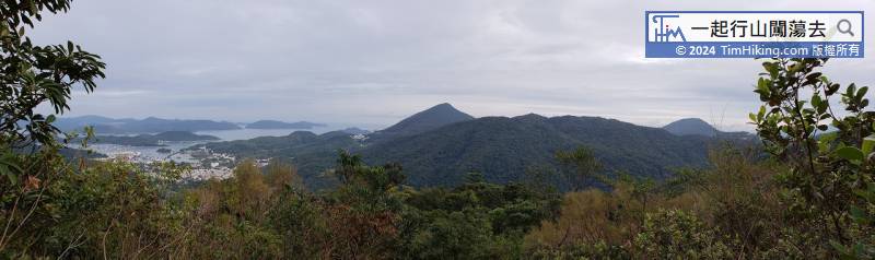
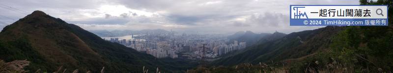
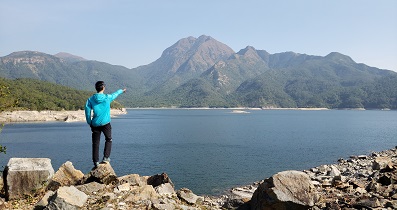
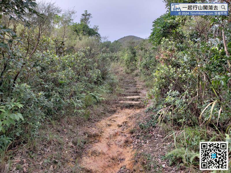 34︰There is a 360-degree view on the top of Tung Yeung Shan, and can see the entire section of the majestic mountains from Kowloon Peak to Tate's Cairn.
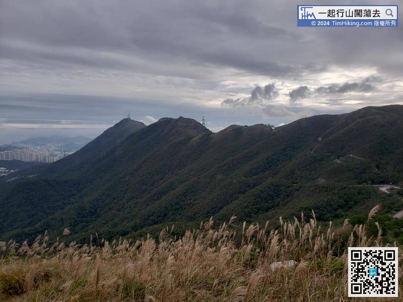
There is a 360-degree view on the top of Tung Yeung Shan, and can see the entire section of the majestic mountains from Kowloon Peak to Tate's Cairn.
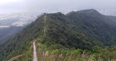
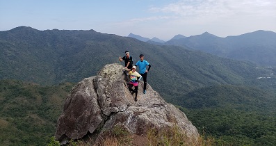
There is a mountain trail on the side of Kowloon Peak Viewing Point, which is the trail leading to Middle Hill and Suicide Cliff.


