


 Recommend YouTube


| View : |  | ||
| Difficulty : |  | ||
| Path : | |||
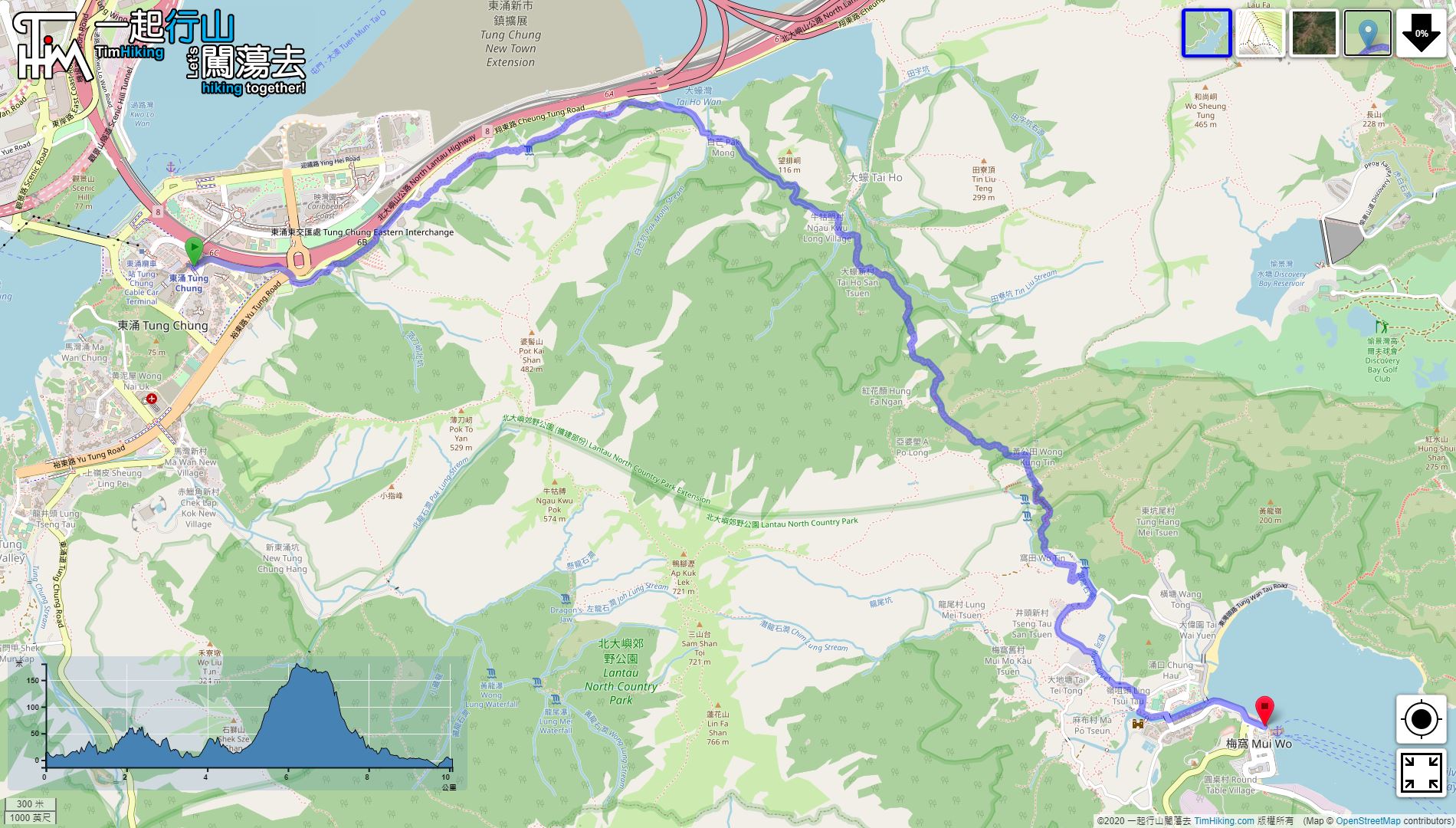
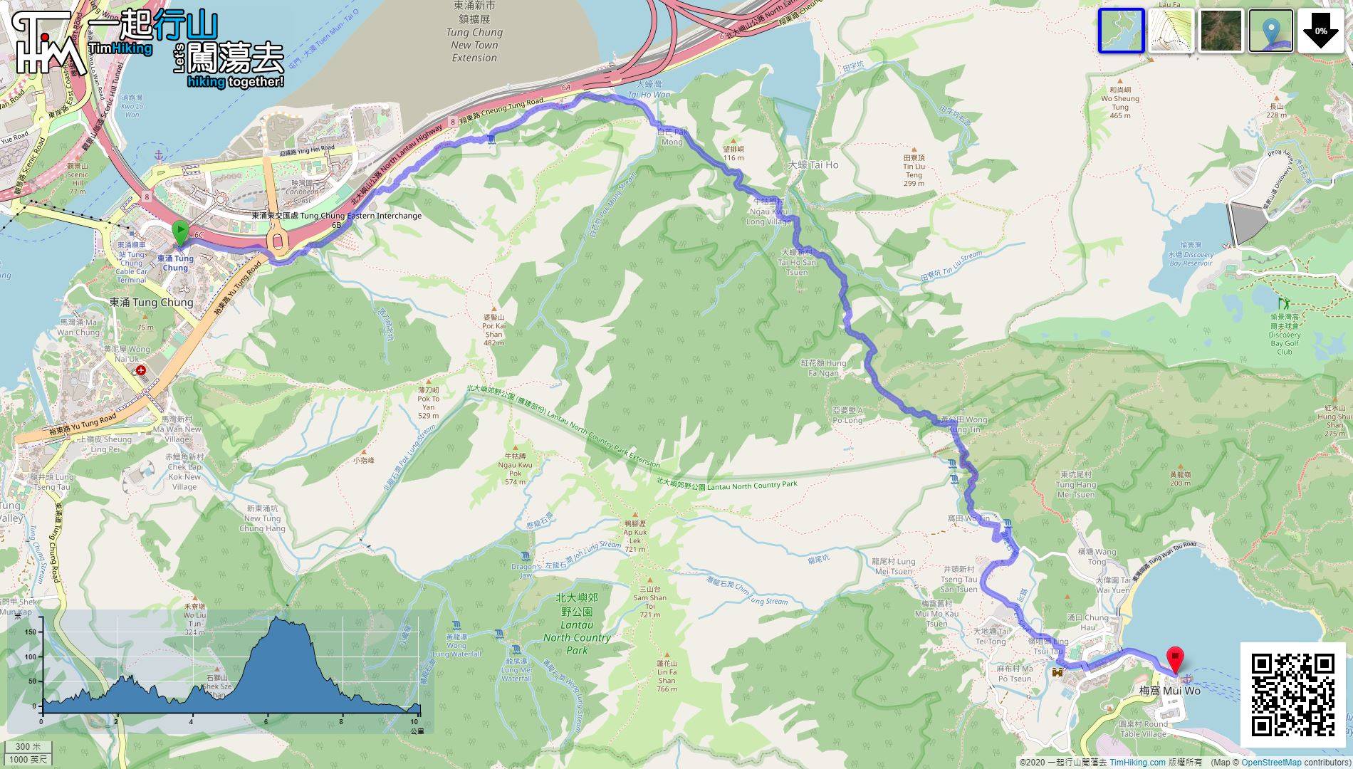
| Length : | 10.2km | ||
| Time : | 3½hours | ||
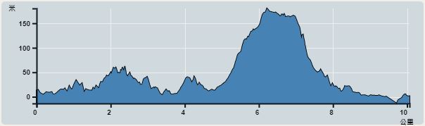 | |
| Ascent : 490m | Descent : 503m |
| Max : 180m | Min : 0m |
| (The accuracy of elevation is +/-30m) | |


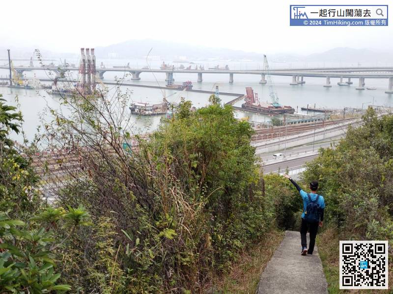
 9︰From these stairs up, the road after that is flat like catchwater
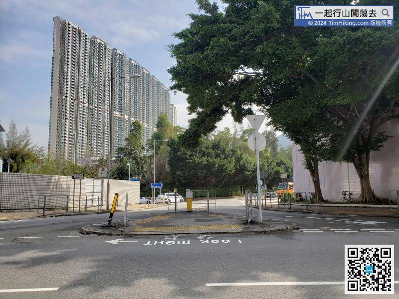
Starting at Tung Chung, leave at Tung Chung Station Exit D, then cross the road to Fu Tung Street,
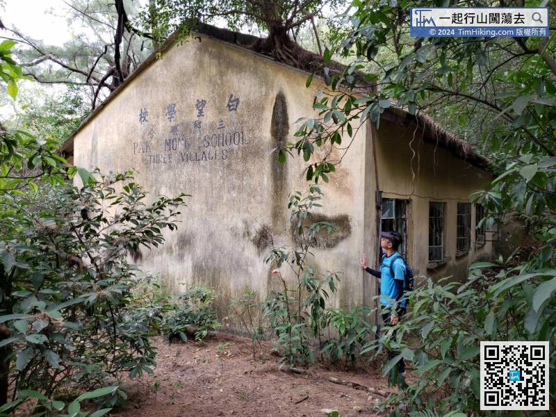
25︰Going along the road,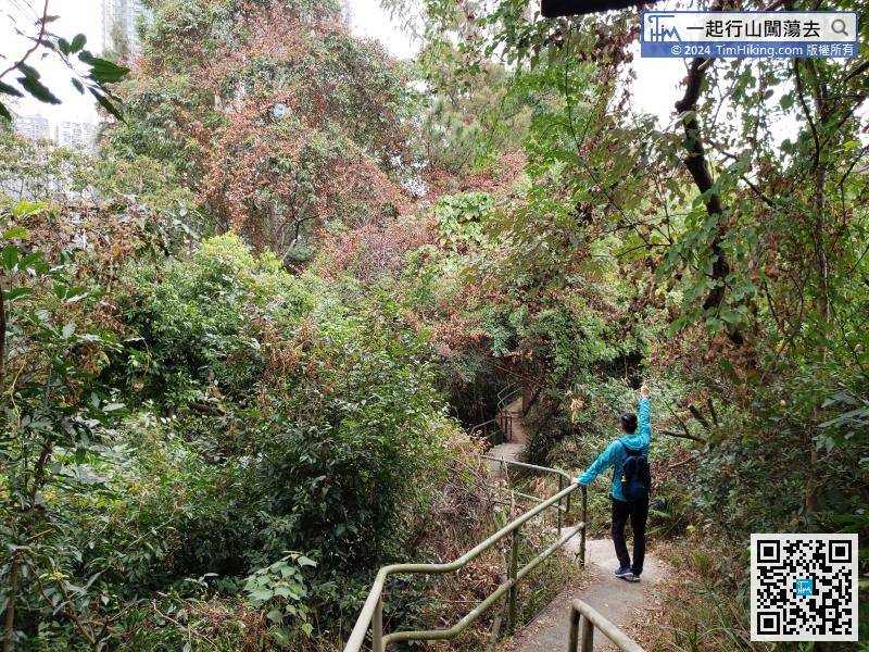 43︰which is Pak Mong Village School,
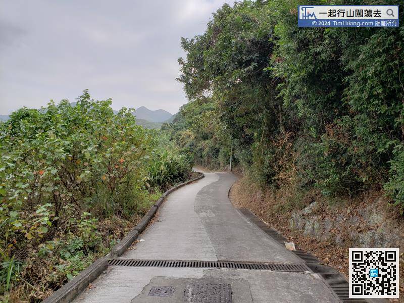 64︰After crossing a small bridge, turn to the right. On the left is a large grassland.
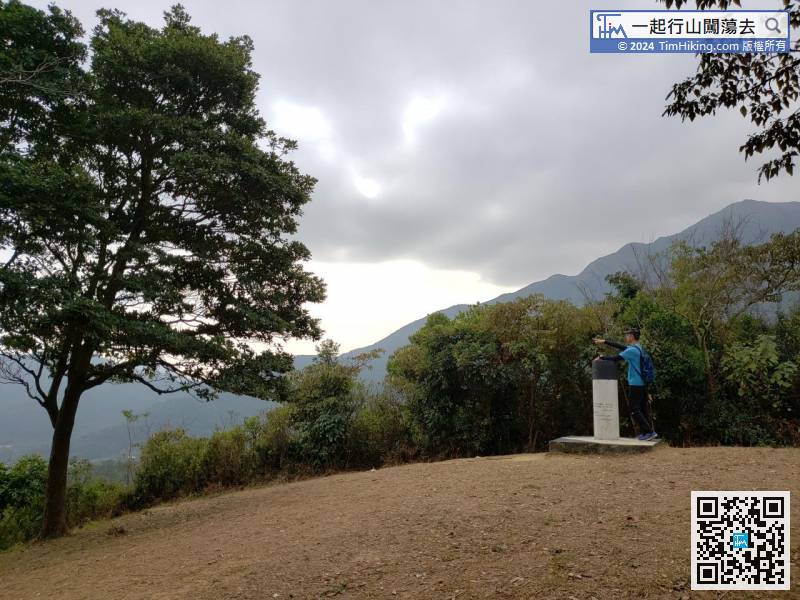
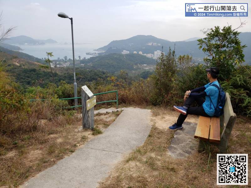
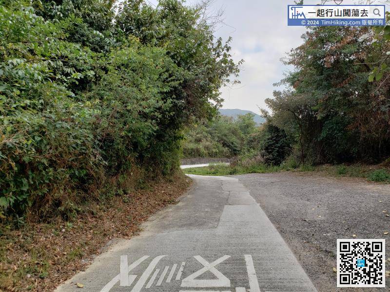 68︰The scenery is the most open scenery in the whole journey.
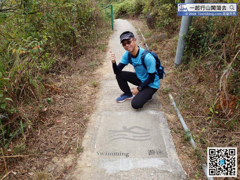
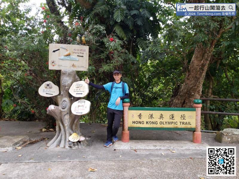
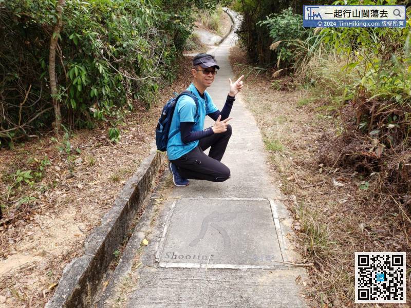
The Olympic swimming pattern is just in front of the stairs.
95︰will arrive at Silvermine Bay.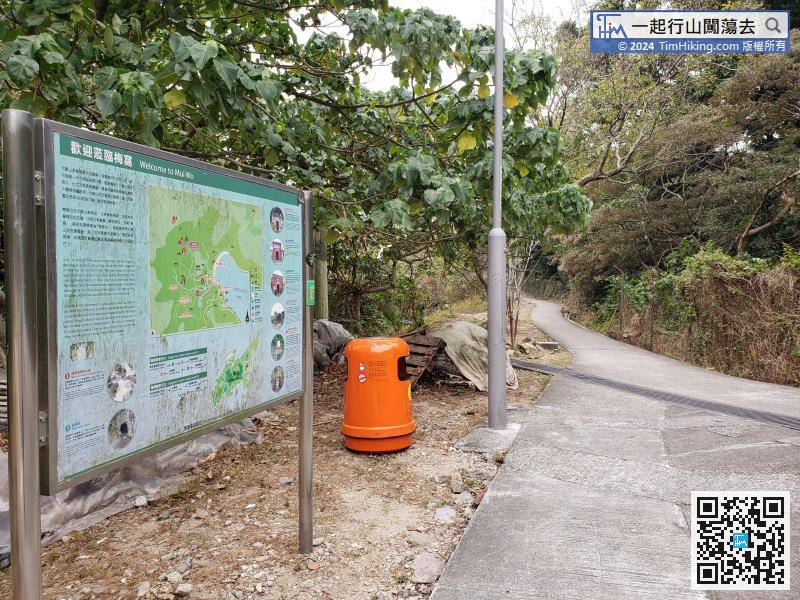


