


 Recommend YouTube


| View : |  | ||
| Difficulty : |  | ||
| Path : | |||
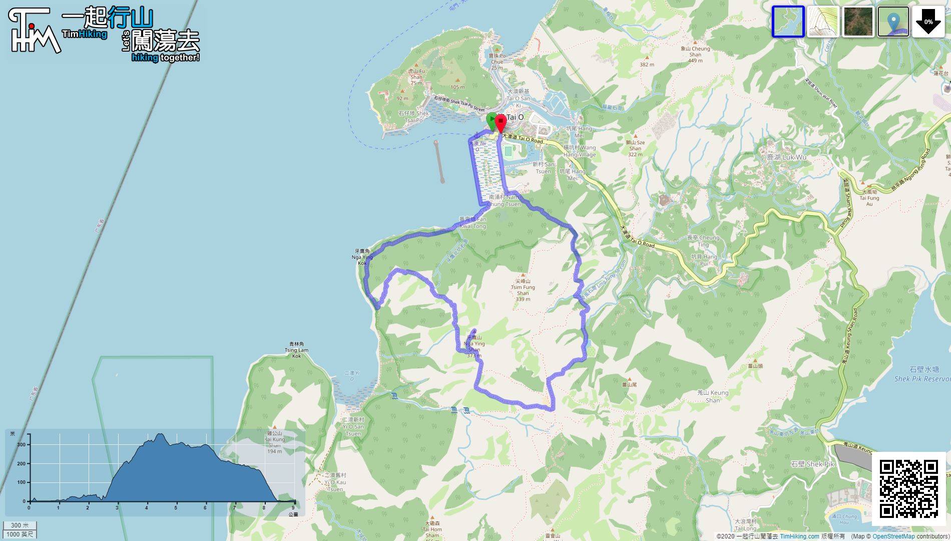
| Length : | 9km | ||
| Time : | 3hours | ||
 | |
| Ascent : 548m | Descent : 540m |
| Max : 356m | Min : 0m |
| (The accuracy of elevation is +/-30m) | |


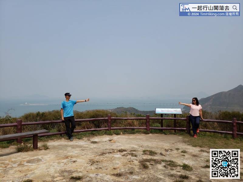
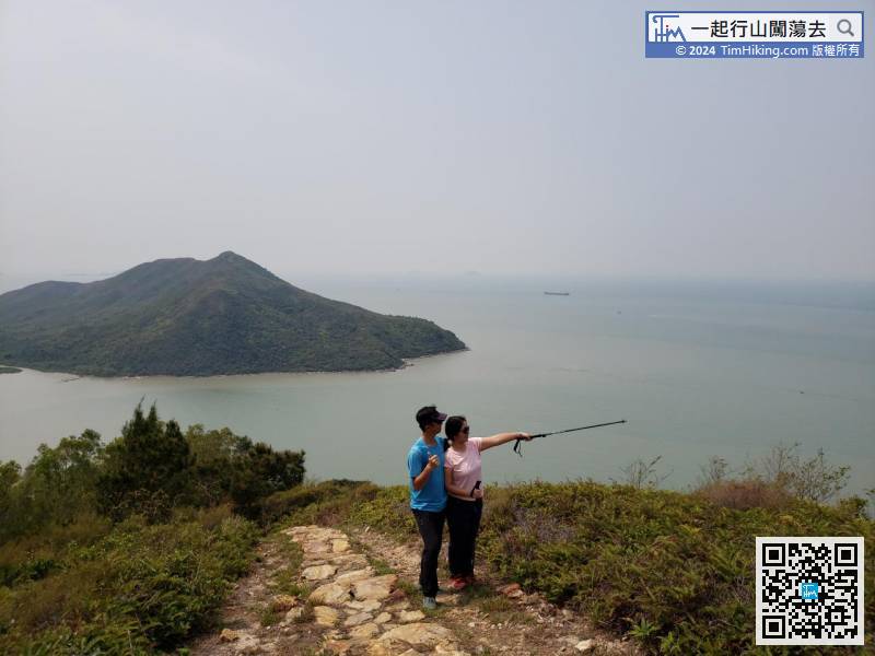
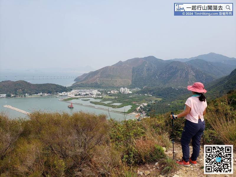
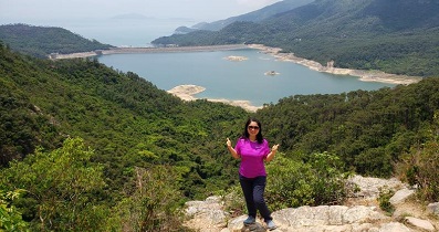
 6︰Walk along the beautiful seawall and enjoy the scenery,
 17︰and there are mud trails beside some of the steps.
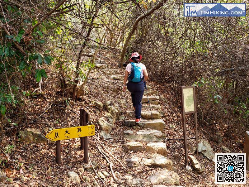
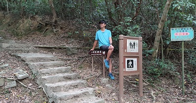
There are many steps in the climbing section. Hikers in need are recommended to prepare a pair of trekking poles.
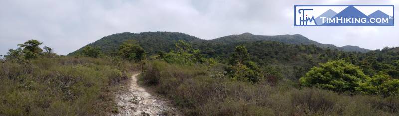
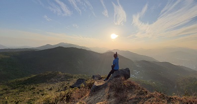
31︰Follow the barren trail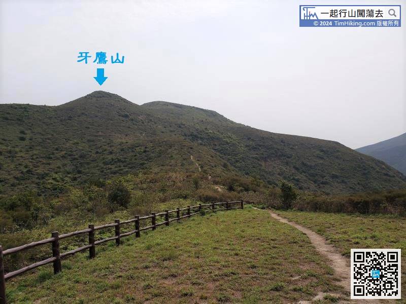
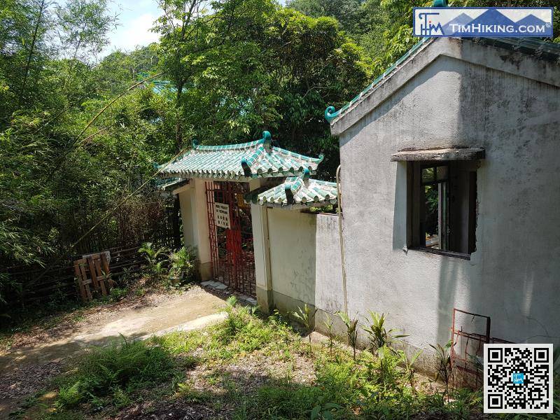
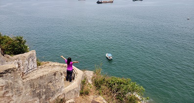
Unconsciously, come to the main entrance of Lung Chai Ng Yuen.


