


 Recommend YouTube


| View : |  | ||
| Difficulty : |  | ||
| Path : | |||
| Length : | 2.2km | ||
| Time : | 1hours | ||
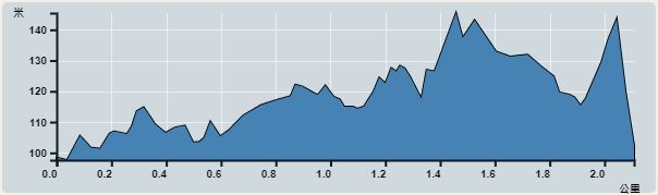 | |
| Ascent : 67m | Descent : 46m |
| Max : 124m | Min : 128m |
| (The accuracy of elevation is +/-30m) | |


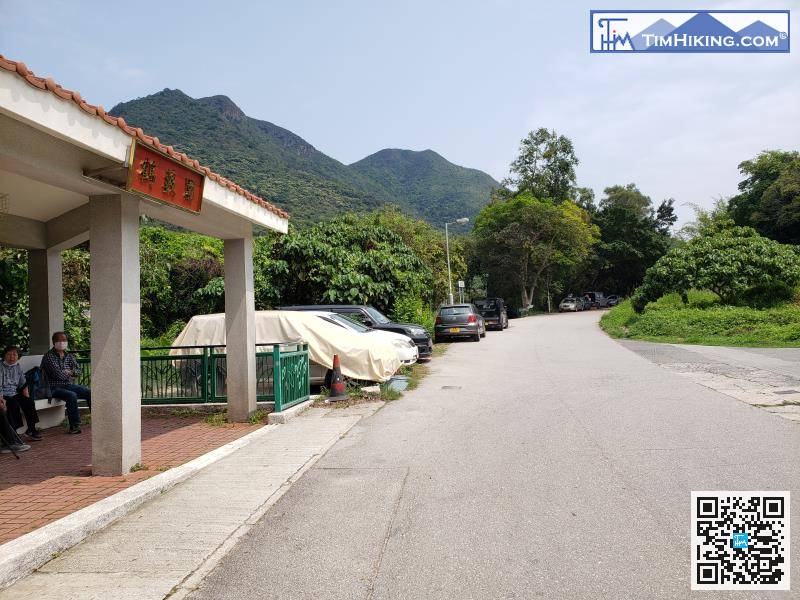
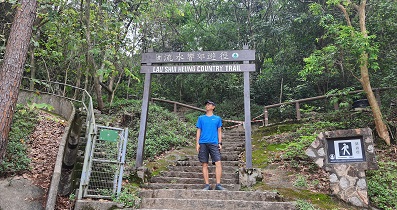
First, take the minibus 52B from Fanling to Hok Tau and get off at the large pavilion at Hok Tau Wai Station.
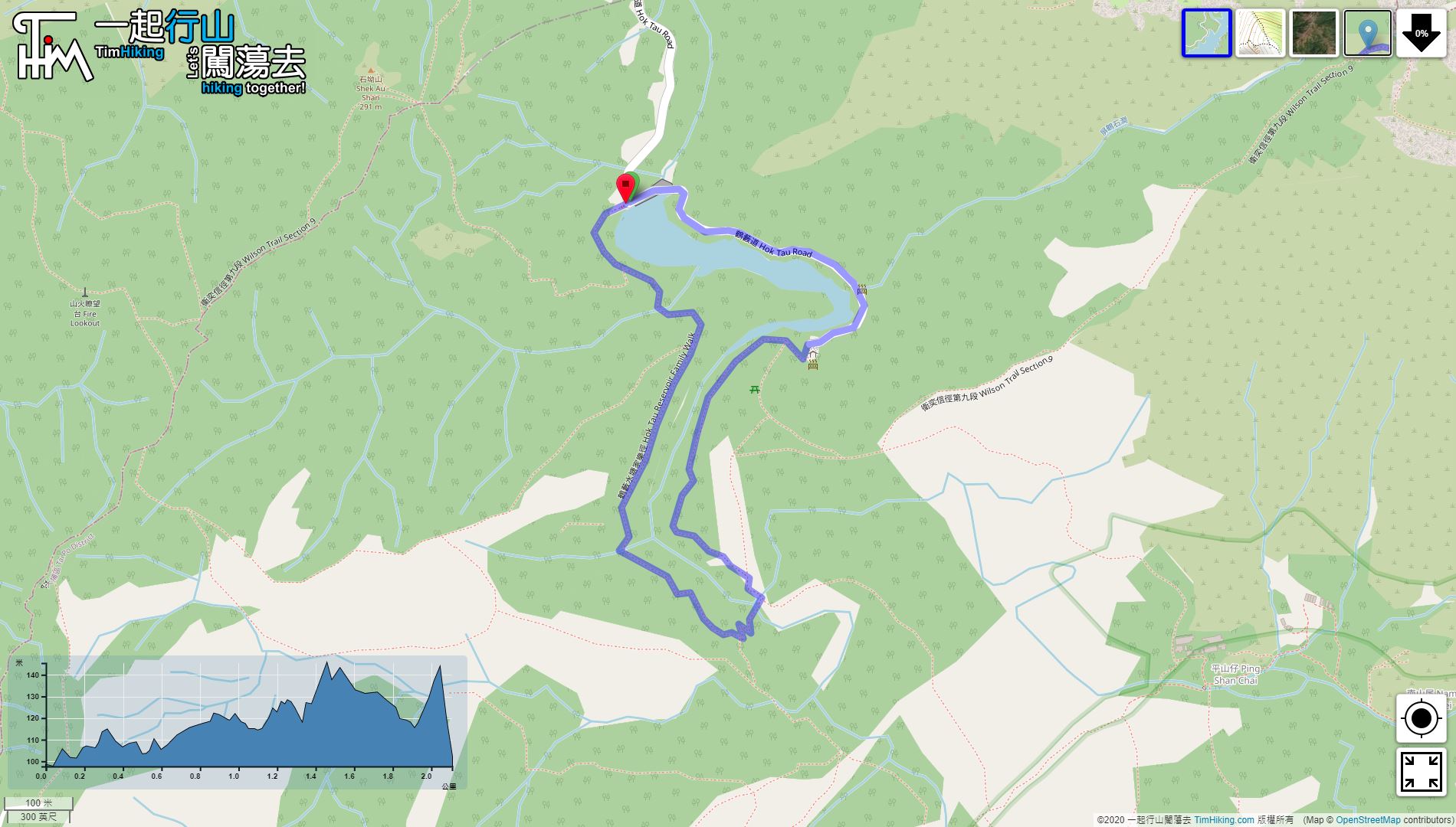
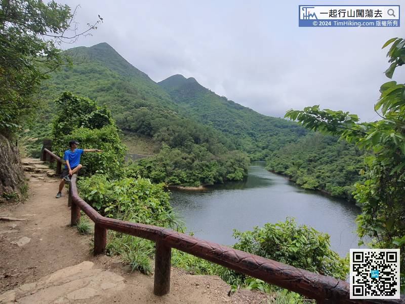
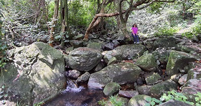
 7︰This time it is going clockwise. First, step on the main dam and enjoy the scenery,
The location of the main dam is the start point and end point of the Hok Tau Reservoir Family Trail, and a large wooden pile of Hok Tau Reservoir Family Trail is erected next to it.
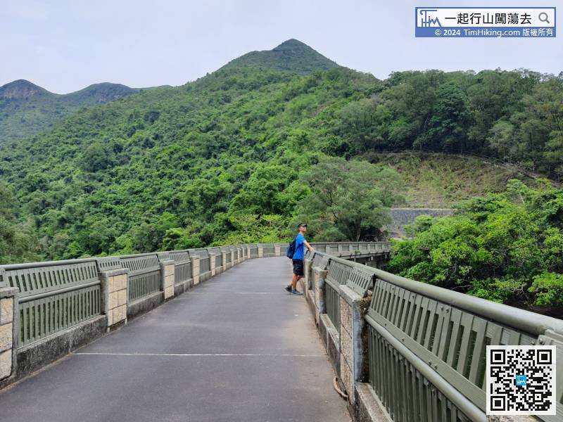
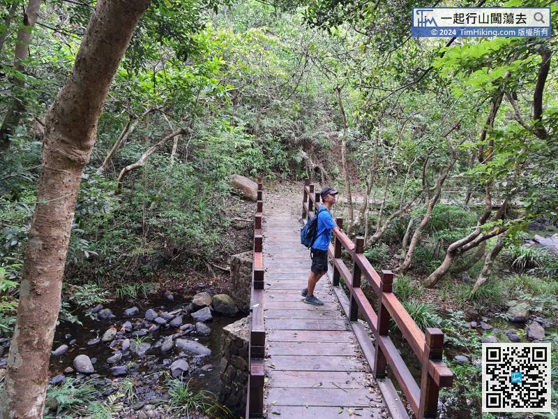
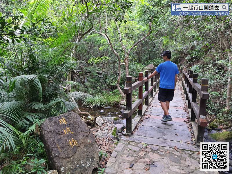
23︰and the second is the Chu Hang Bridge. 33︰After that, can also overlook the entire Hok Tau Reservoir after a turn.
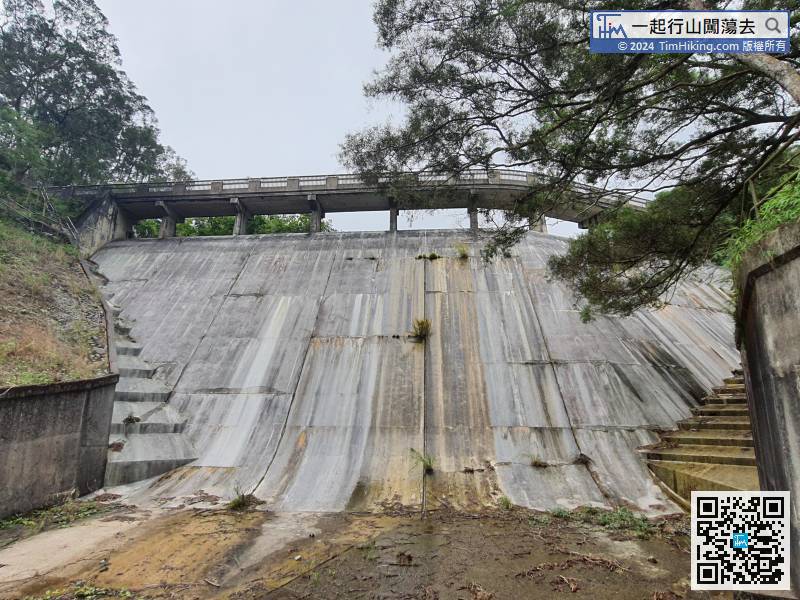
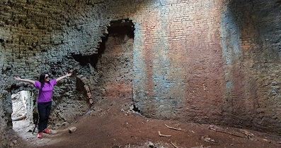
 38︰Looking up from the bottom of the dam, is a very shocking scene.
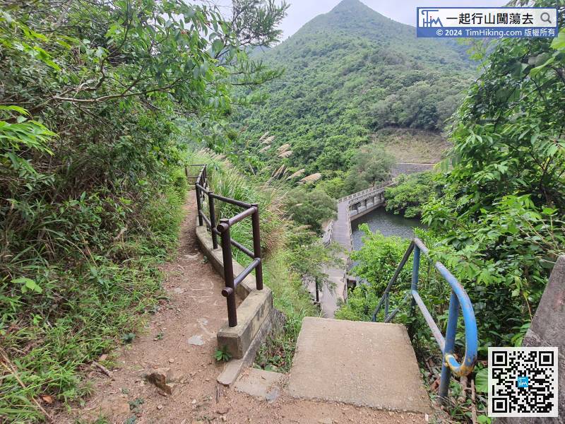


