


 Recommend YouTube


| View : |  | ||
| Difficulty : |  | ||
| Path : | |||
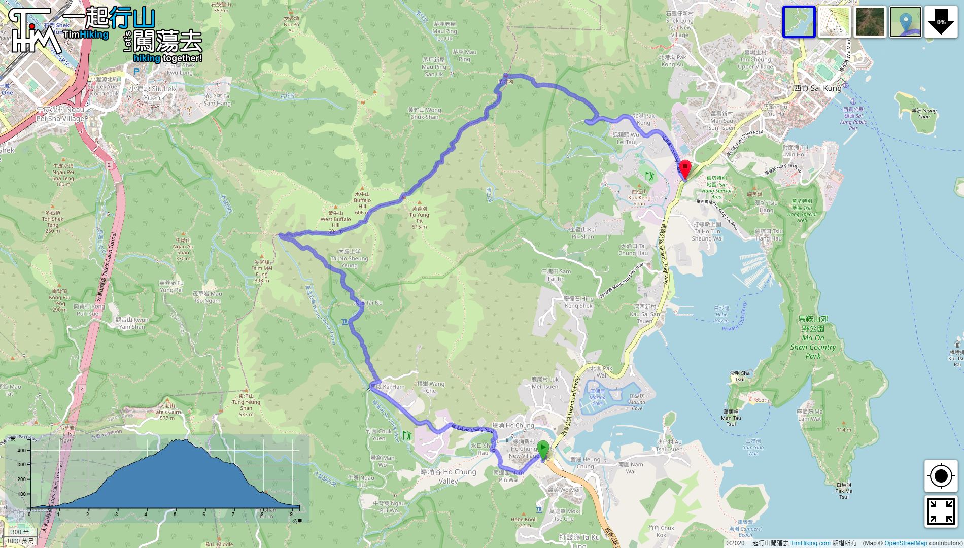
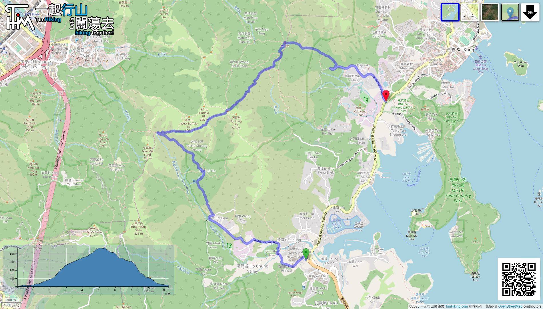
| Length : | 9.3km | ||
| Time : | 4hours | ||
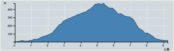 | |
| Ascent : 490m | Descent : 490m |
| Max : 472m | Min : 2m |
| (The accuracy of elevation is +/-30m) | |


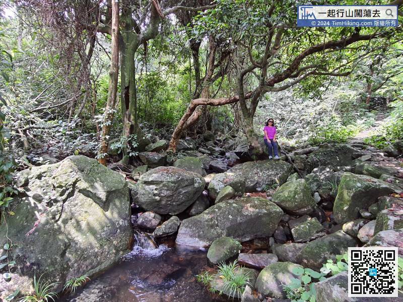
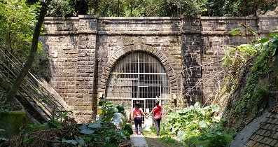
 6︰and cross the stream bridge.
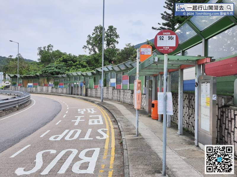
The starting point is Ho Chung, and many buses and minibuses to Sai Kung will pass here.
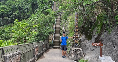
21︰The entrance of Tai No Ancient Trail is actually on the left and very wide, no need to climb.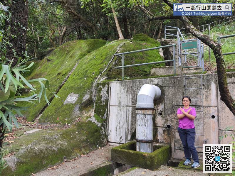
There is a straight ladder to maintain the slope beside the entrance of the trail. Do not climb it.
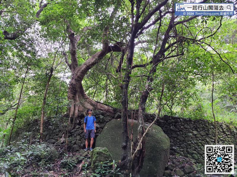
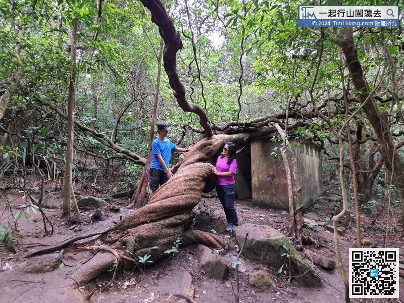
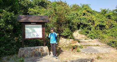
40︰Tai No abandoned village was once very prosperous,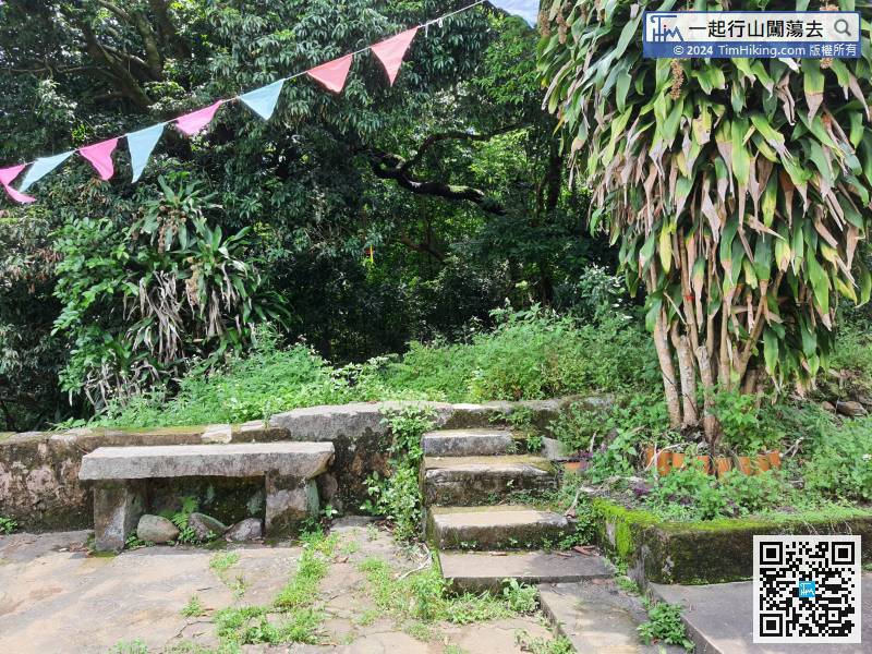
Here about half of Tai No Ancient Trail. It takes about 40 minutes, can take a rest and then continue along the old village road on the left.
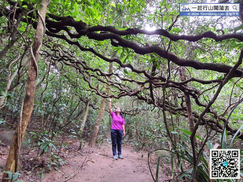
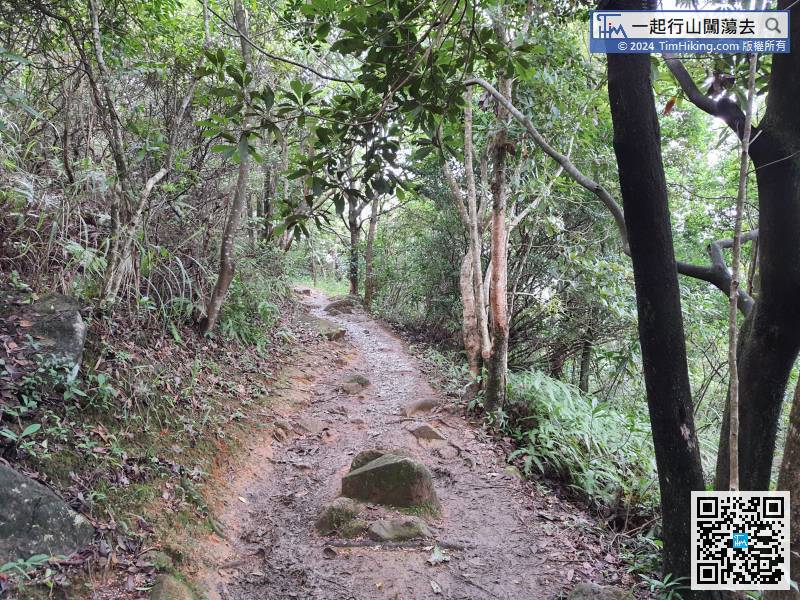 68︰Pay attention to the barren trail on the left-hand side.
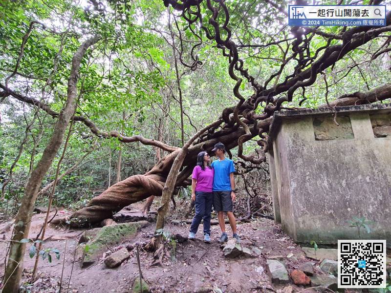
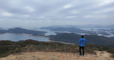
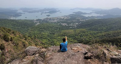
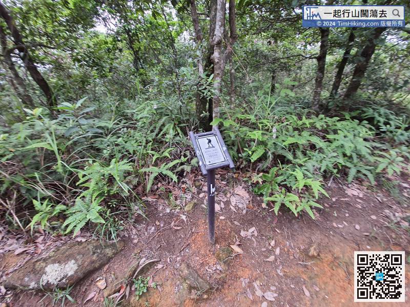 86︰no matter from which angle, it is also elegant.
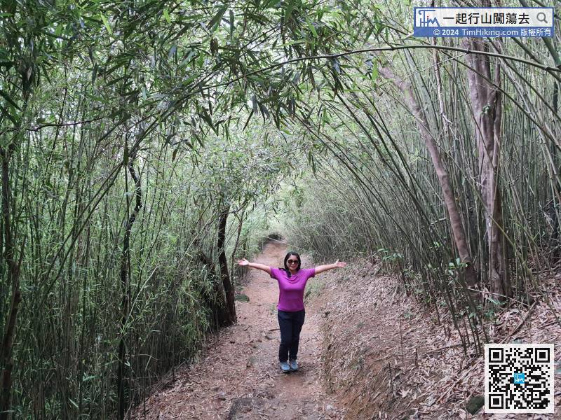
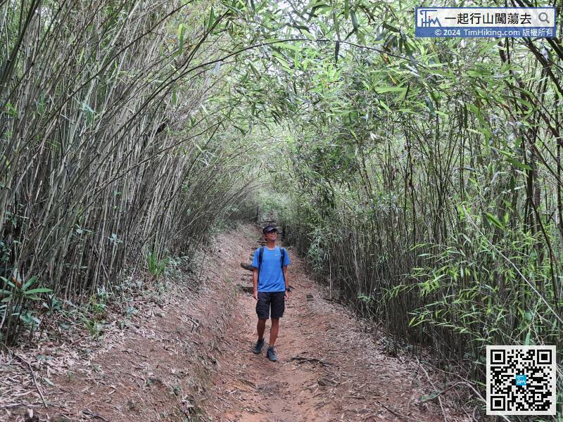
Walking for about 10 minutes from the bifurcation, will enter the Bamboo Tunnel of Pak Kong.


