


 Recommend YouTube


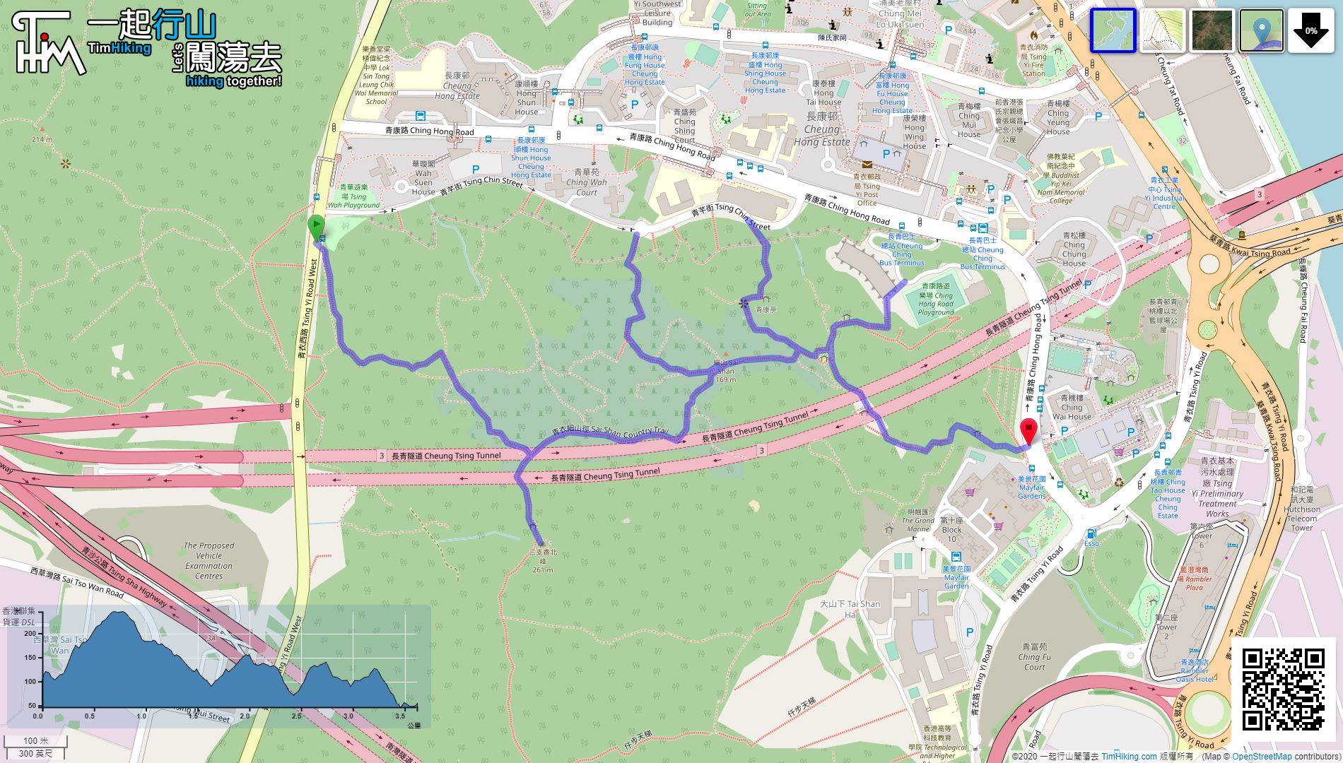
| View : |  | ||
| Difficulty : |  | ||
| Path : | |||
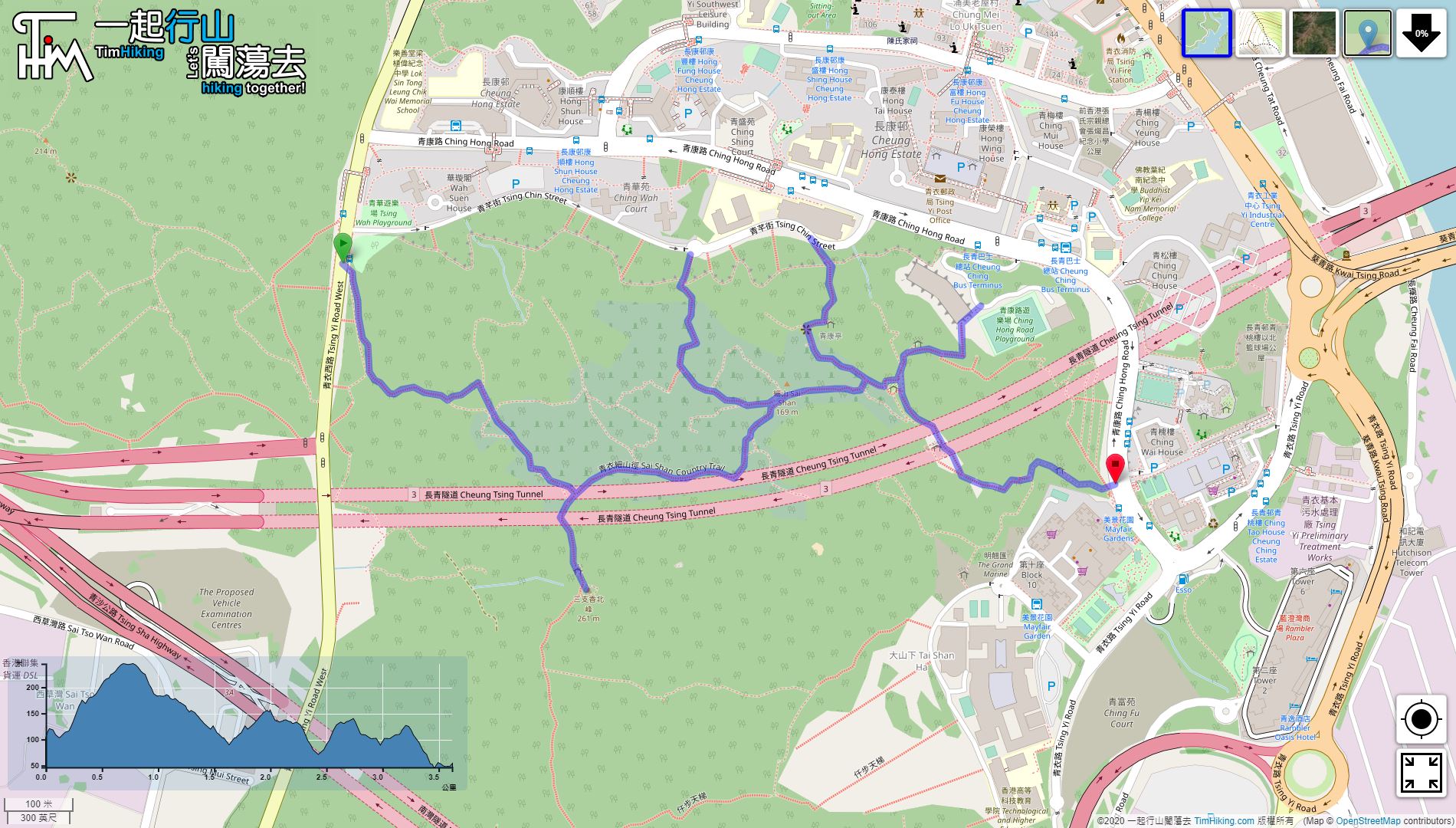
| Length : | 3.7km | ||
| Time : | 1hours | ||
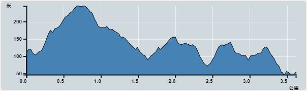 | |
| Ascent : 391m | Descent : 432m |
| Max : 245m | Min : 47m |
| (The accuracy of elevation is +/-30m) | |


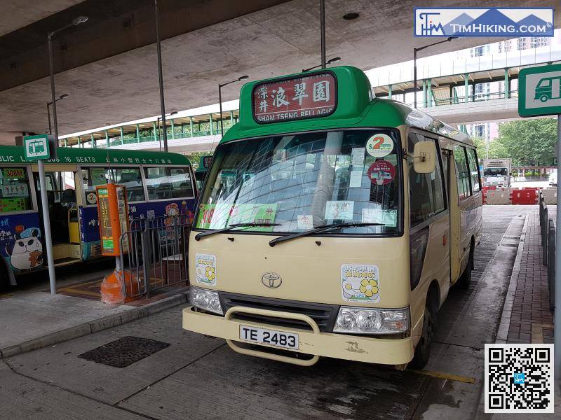
The starting point is Ching Wah Court. If not a neighbourhood, you can take the minibus 308M to Sea Crest Villa at Tsing Yi Station.
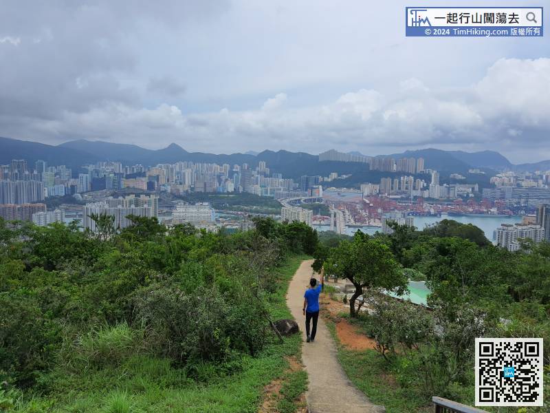
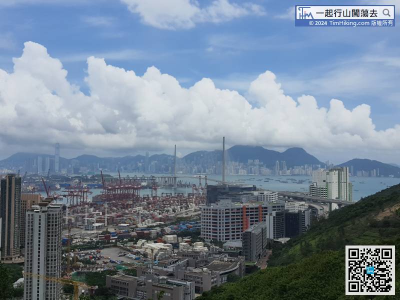
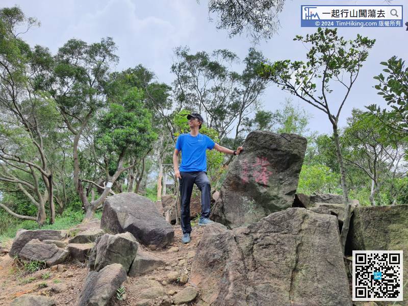
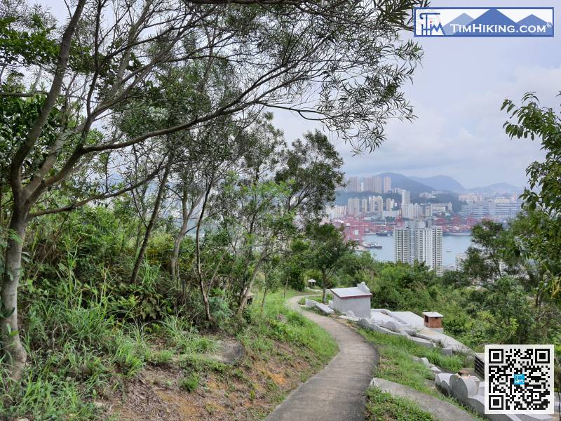
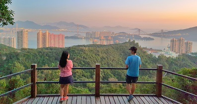
 19︰which can see the Tsing Yi South Bridge and Tsuen Wan.
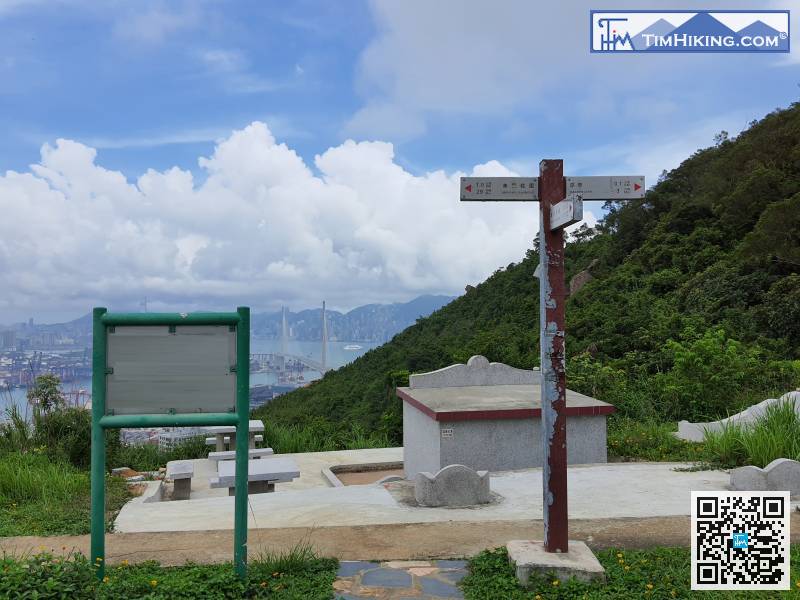
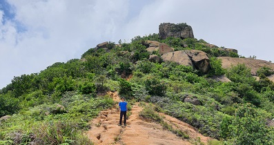
After travelling for about half an hour, come to the first bifurcation.
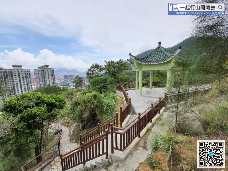
23︰After that, no more steps are going up,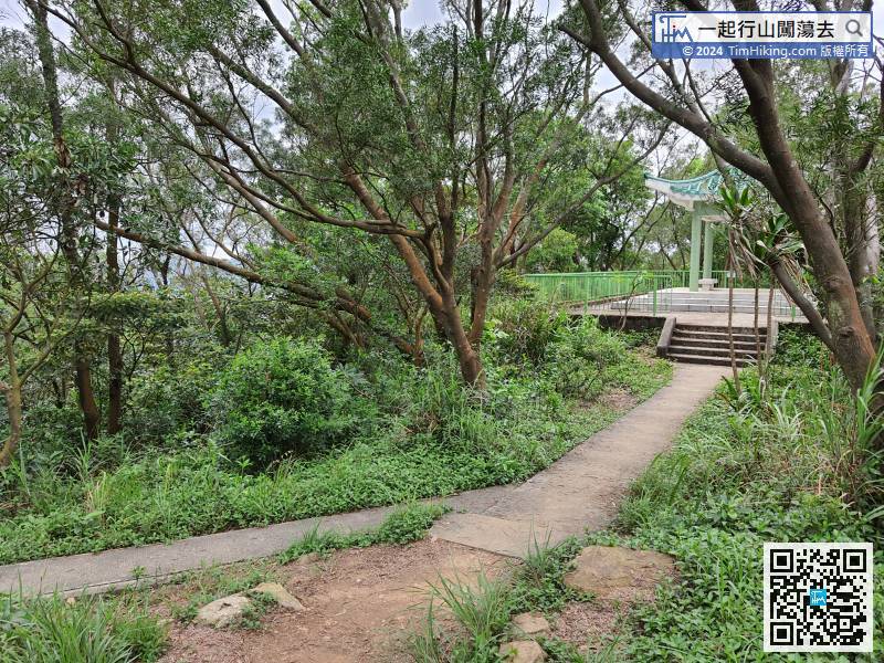
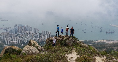
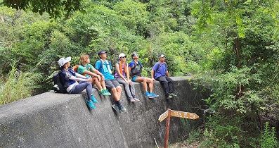
For others, just go ahead, stay in the direction of Mayfair Gardens,


