


 Recommend YouTube


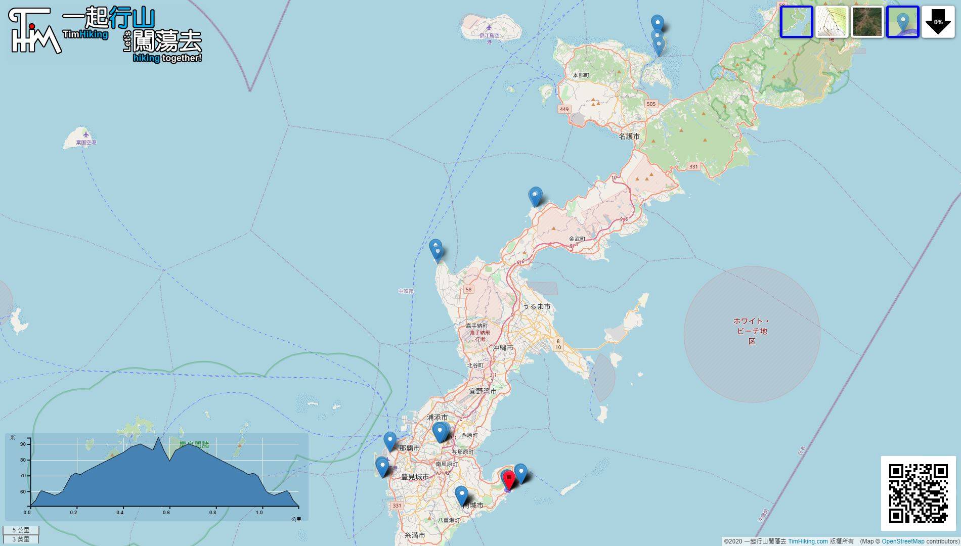
| View : |  | ||
| Difficulty : |  | ||
| Path : | |||
| Length : | 1.2km | ||
| Time : | 2hours | ||
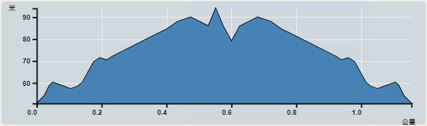 | |
| Ascent : 63m | Descent : 63m |
| Max : 94m | Min : 51m |
| (The accuracy of elevation is +/-30m) | |


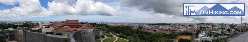
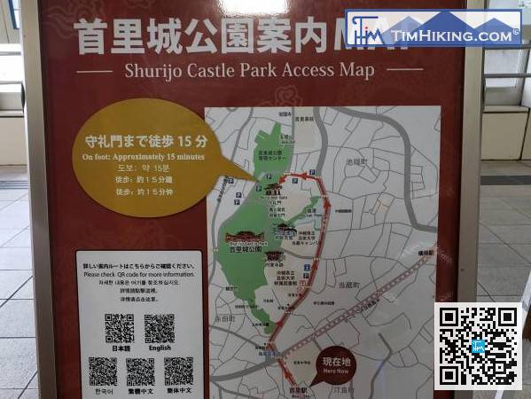
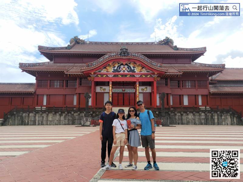
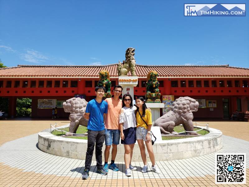
Shurijo Castle can be reached by monorail, just get off at Shuri Station.
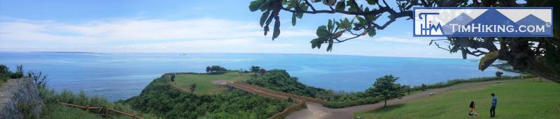

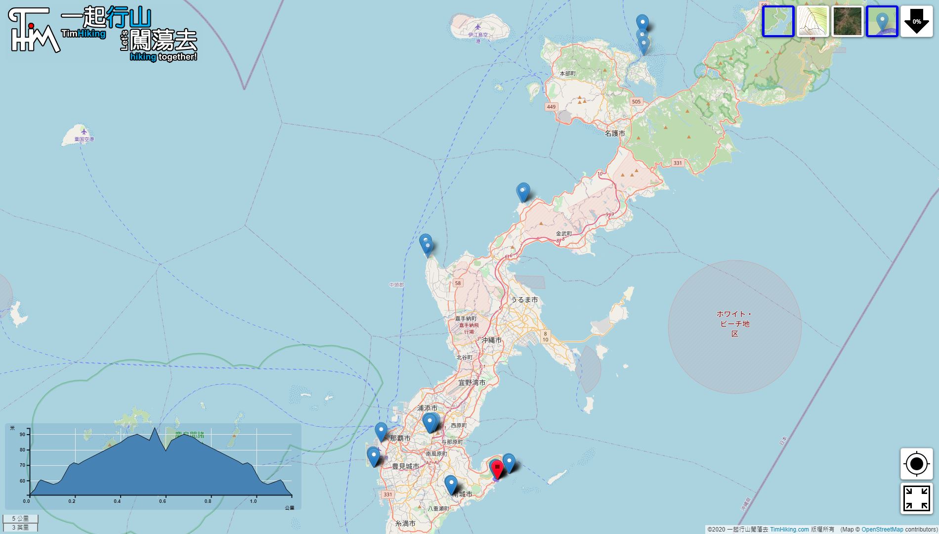
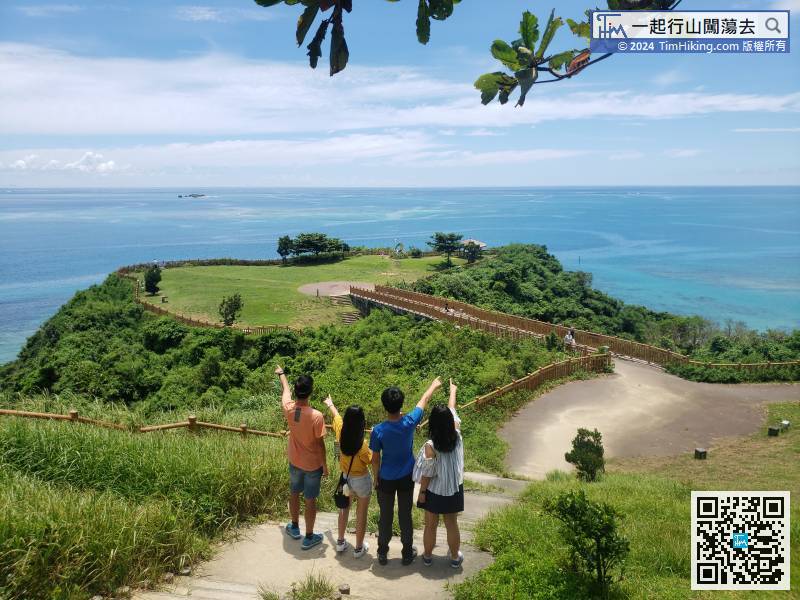
Next is the self-driving tour. The first destination is Cape Chinen Park,
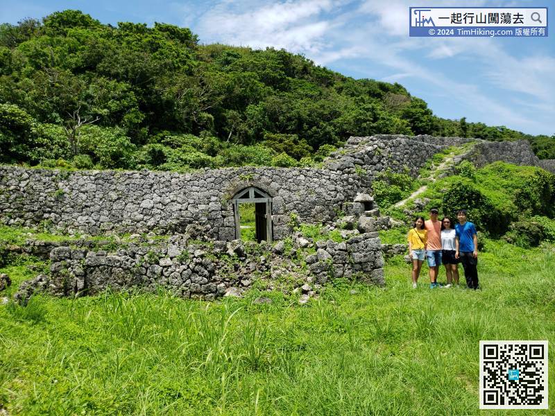
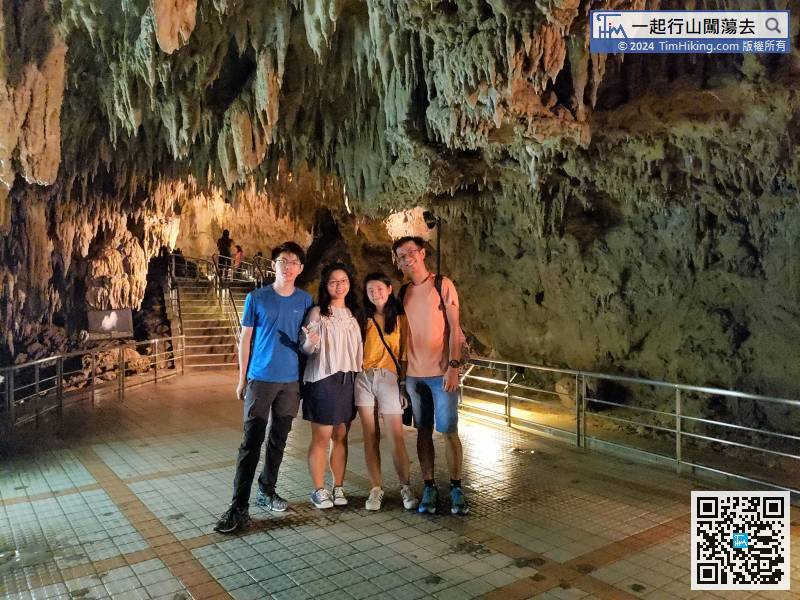
Gyokusendo Cave is about 10km away from Chinen Castle Ruins, MAPCODE is '232 495 330*28'.
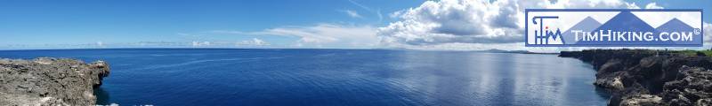
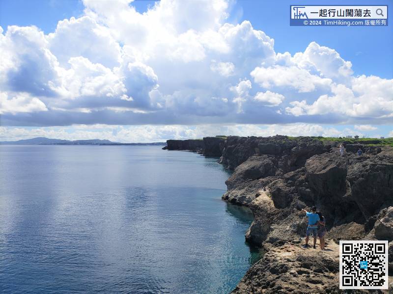
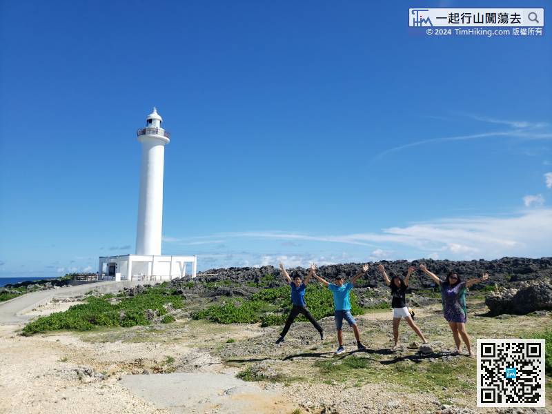
Okinawa also has many natural landscapes worth enjoying, one of which is Cape Zanpa, MAPCODE is '1005 685 378*55'.
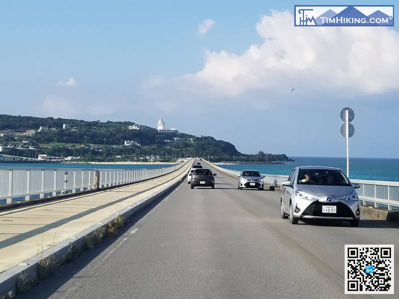
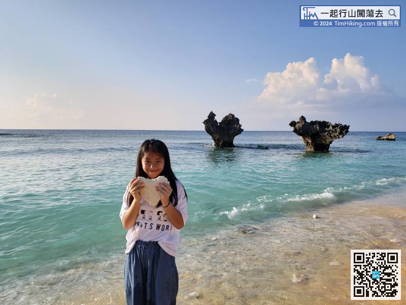
To go to Kouri Island, have to cross the long and straight Kouri Bridge. The beach under the bridge is one of the attractions.


