


 Recommend YouTube


| View : |  | ||
| Difficulty : |  | ||
| Path : | |||
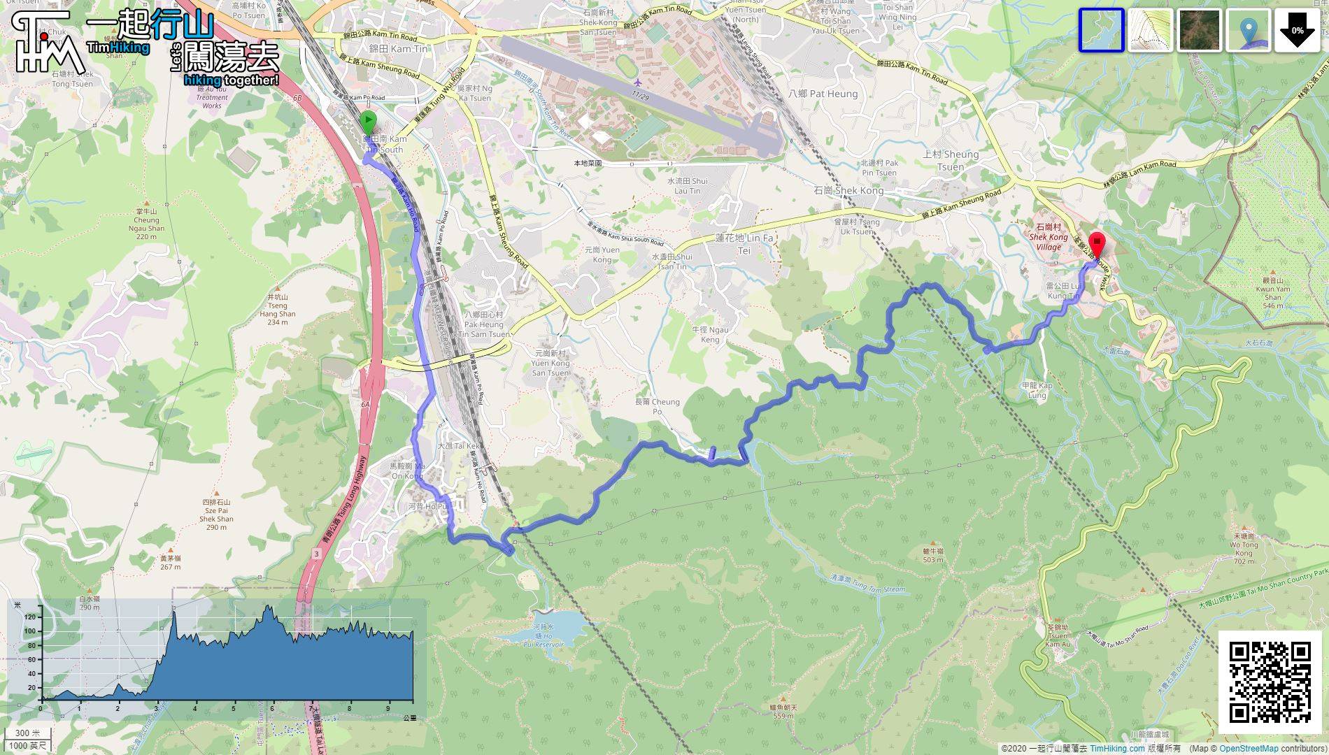
| Length : | 9.7km | ||
| Time : | 3hours | ||
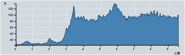 | |
| Ascent : 539m | Descent : 435m |
| Max : 137m | Min : 2m |
| (The accuracy of elevation is +/-30m) | |


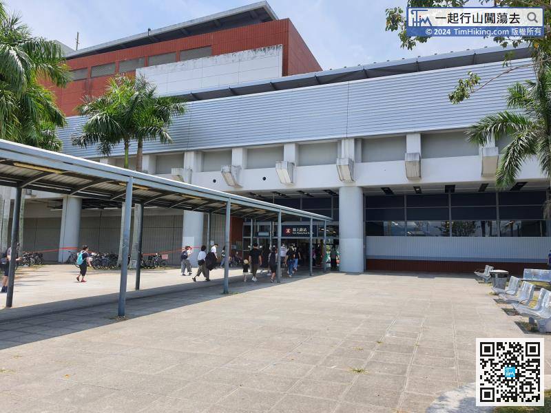
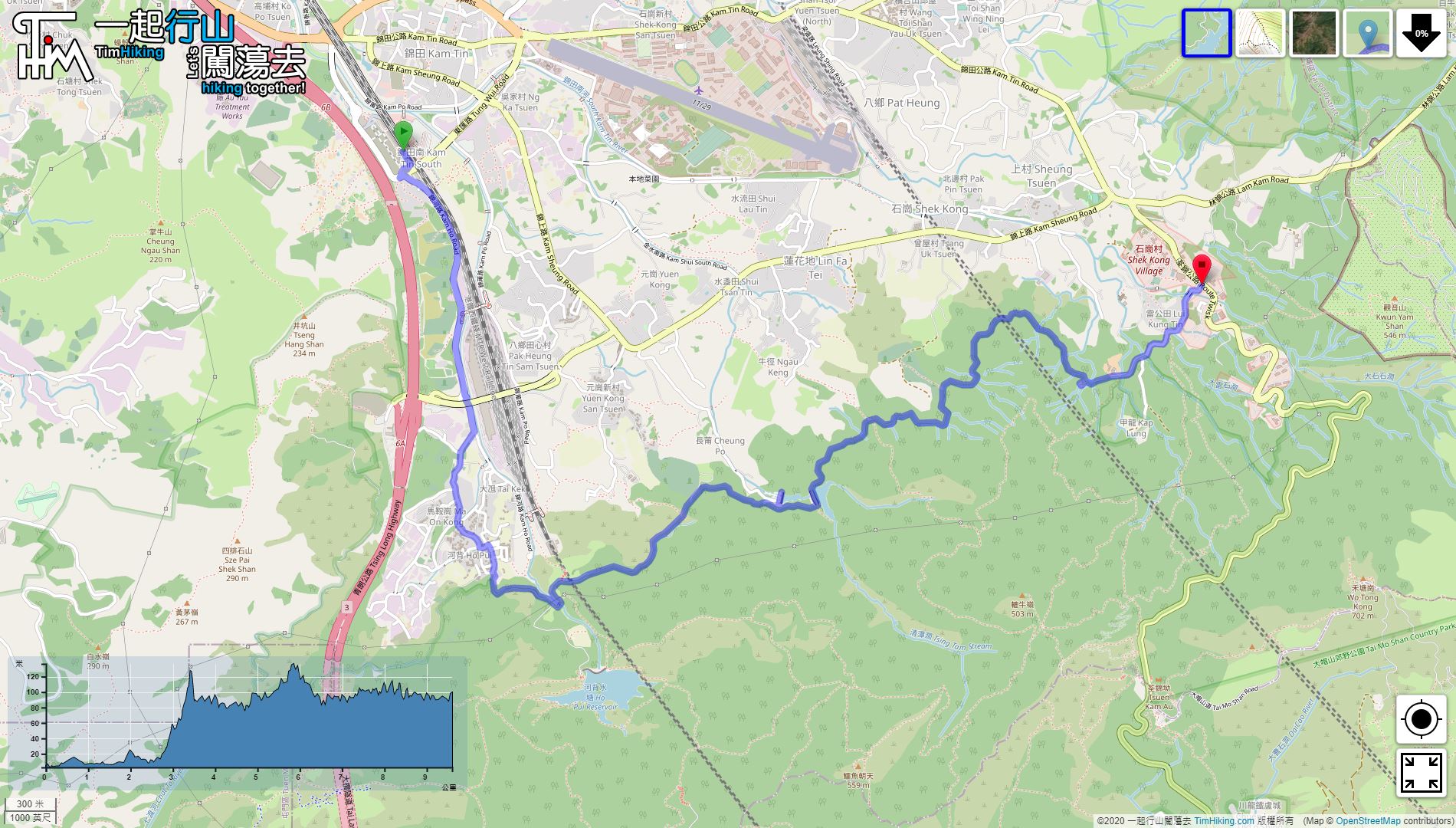
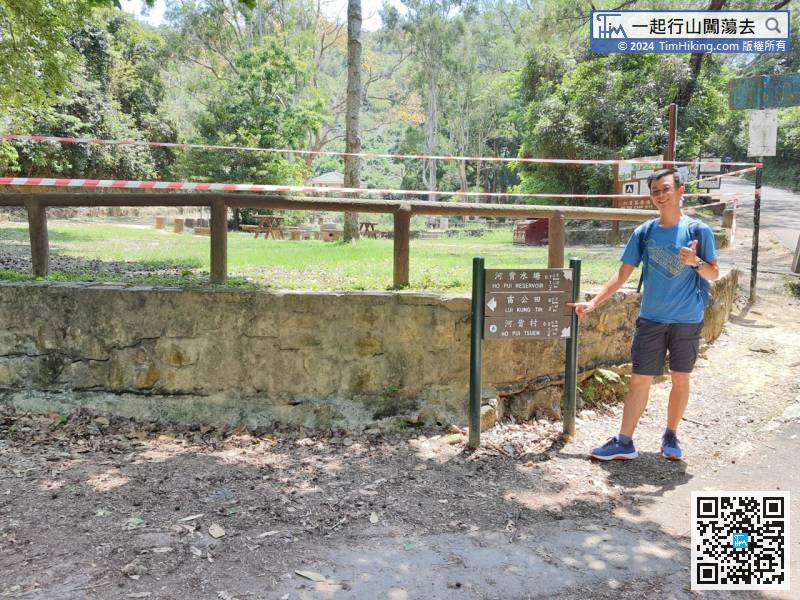
The starting point is Kam Sheung Road Station. This time will walk to Ho Pui instead of a minibus. The distance is about 2.6km.
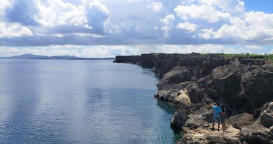
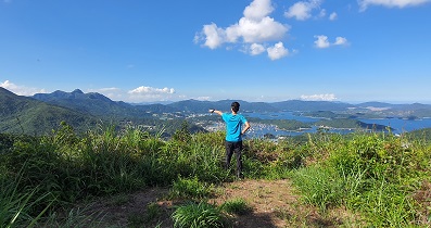
 20︰For the scenery, the Yuen Long Plain always along the way.
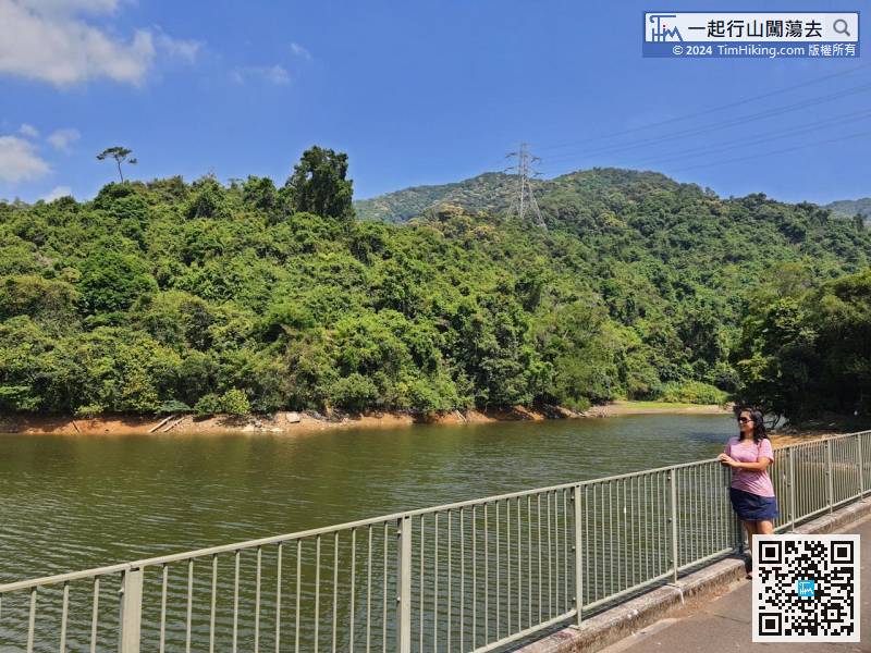
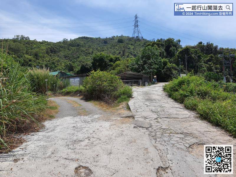 27︰After about half an hour from the bifurcation, will see the dam of Tsing Tam Lower Reservoir.
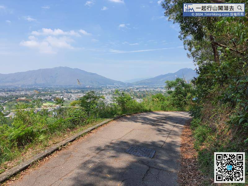 35︰can go down the steps next to the dam and look up to the dam from below which is a different view.
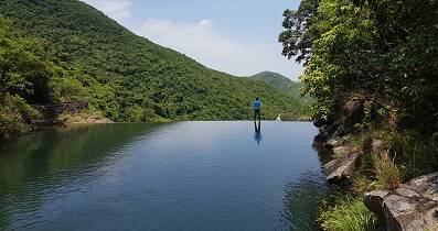
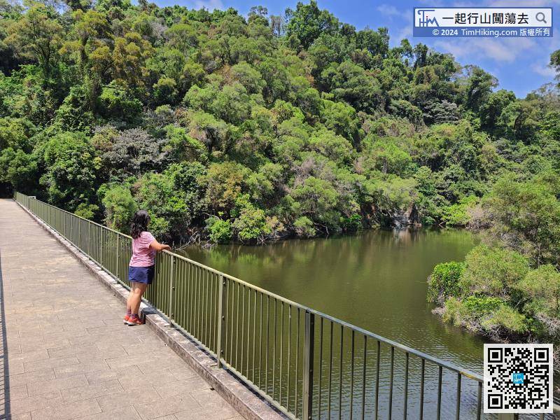 41︰Compare with the Lower and Upper Reservoirs, Tsing Tam Upper Reservoir is slightly larger.
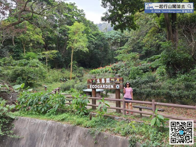
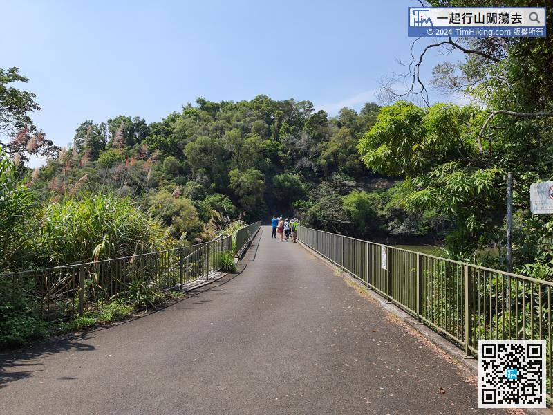 51︰The walk is only 100 meters, and there are many information plates inside, like a Nature Trail and Tree Walk.


