


 Recommend YouTube


| View : |  | ||
| Difficulty : |  | ||
 (Reverse) | |||
| Path : | |||
| Length : | 3.7km | ||
| Time : | 2hours | ||
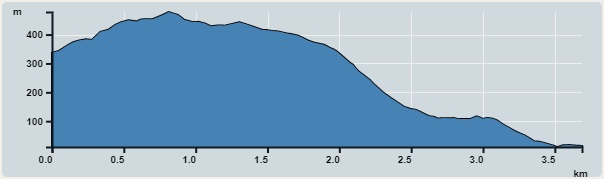 | |
| Ascent : 177m | Descent : 497m |
| Max : 478m | Min : 11m |
| (The accuracy of elevation is +/-30m) | |


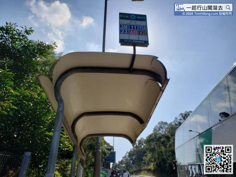
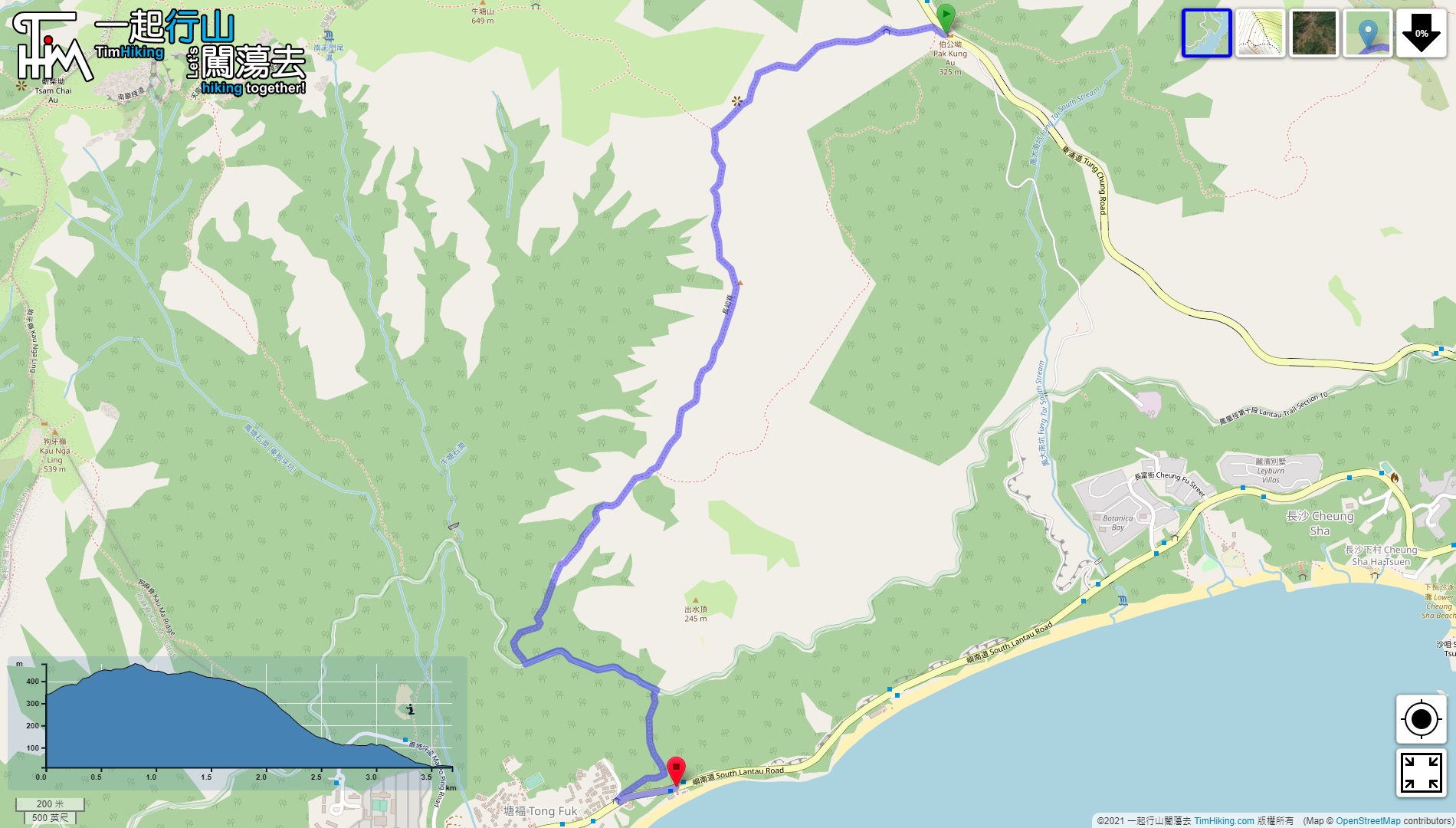
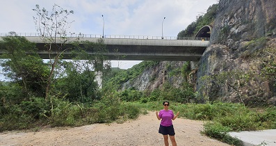
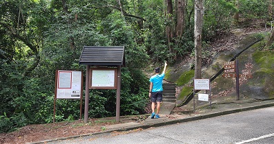
Starting from Pak Kung Au, you can take Lantau Bus 3M from Tung Chung.
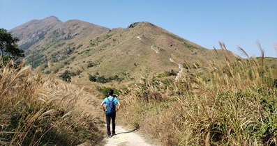
 20︰Walk along the flat trail
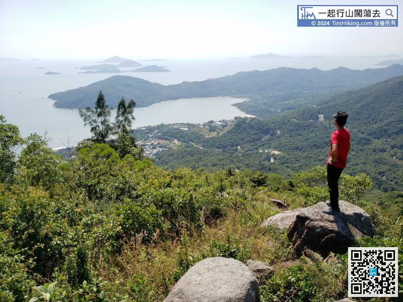
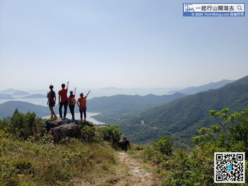
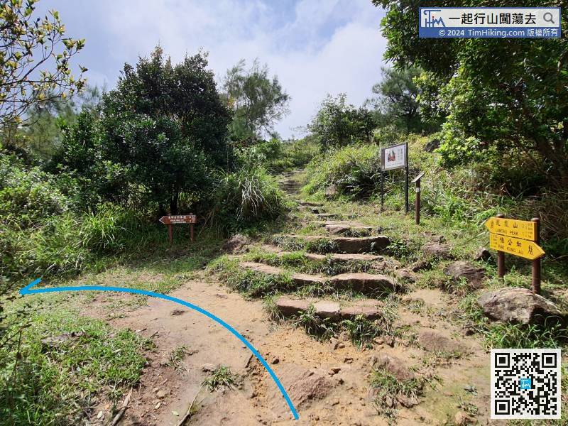 30︰The location of Cheung Yan Rock is on the top of Cheung Yan Shan.
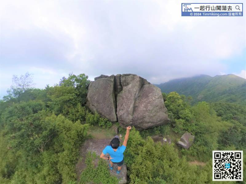
The location of Cheung Yan Rock is on the top of Cheung Yan Shan.
50︰The trail down the mountain is a stairway,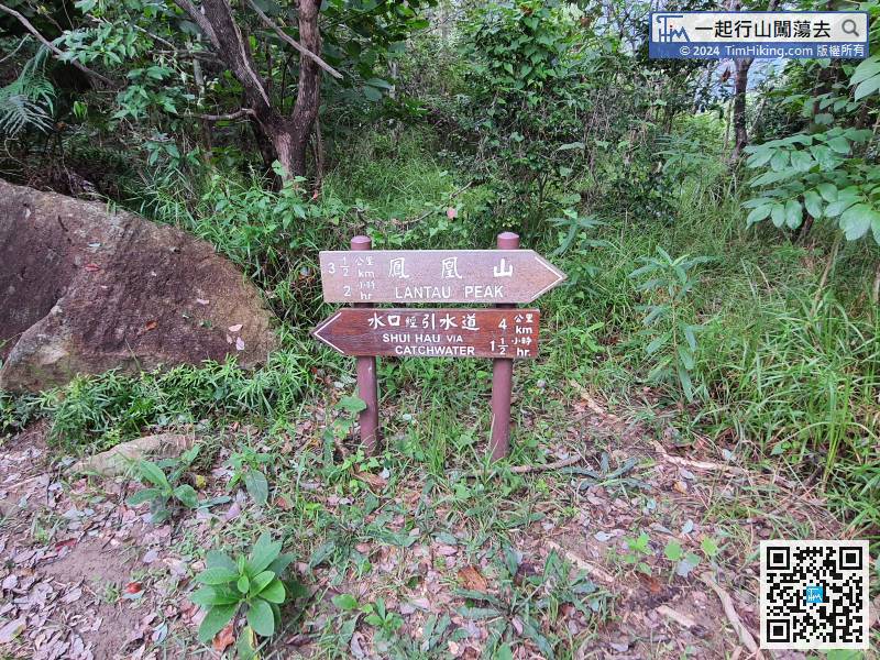
At this time, turn right and continue towards Shui Hau via Catchwater, and then turn left to return to Pak Kung Au.
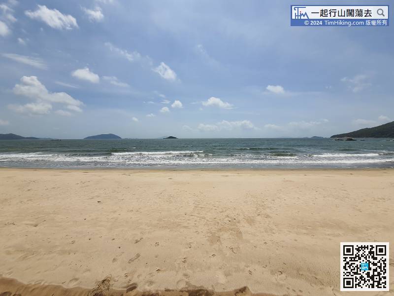
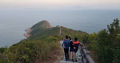
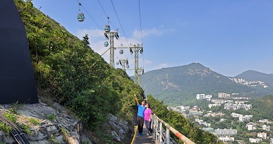
56︰At the bifurcation, will also see the distance post L108 of Lantau Trail.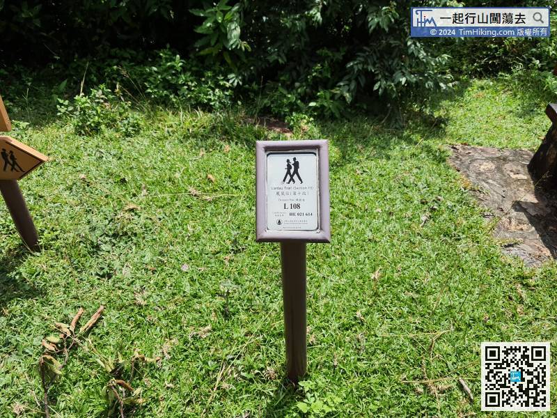 66︰final gradually approach the sea.
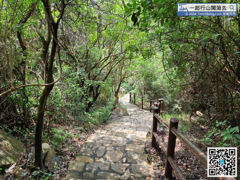
Leaving the catchwater, follow the nice steps and continue down the mountain.


