


 Recommend YouTube


| View : |  | ||
| Difficulty : |  | ||
| Path : | |||
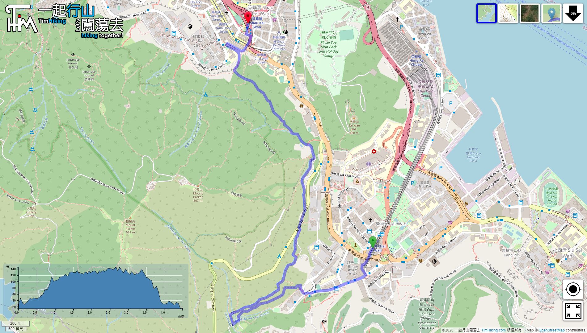
| Length : | 4.5km | ||
| Time : | 2hours | ||
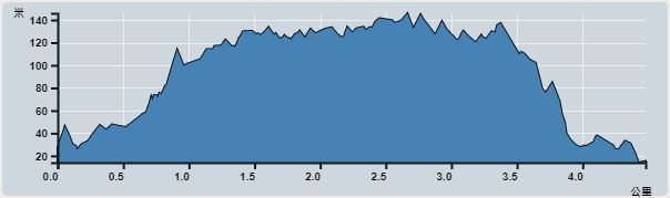 | |
| Ascent : 312m | Descent : 315m |
| Max : 146m | Min : 14m |
| (The accuracy of elevation is +/-30m) | |


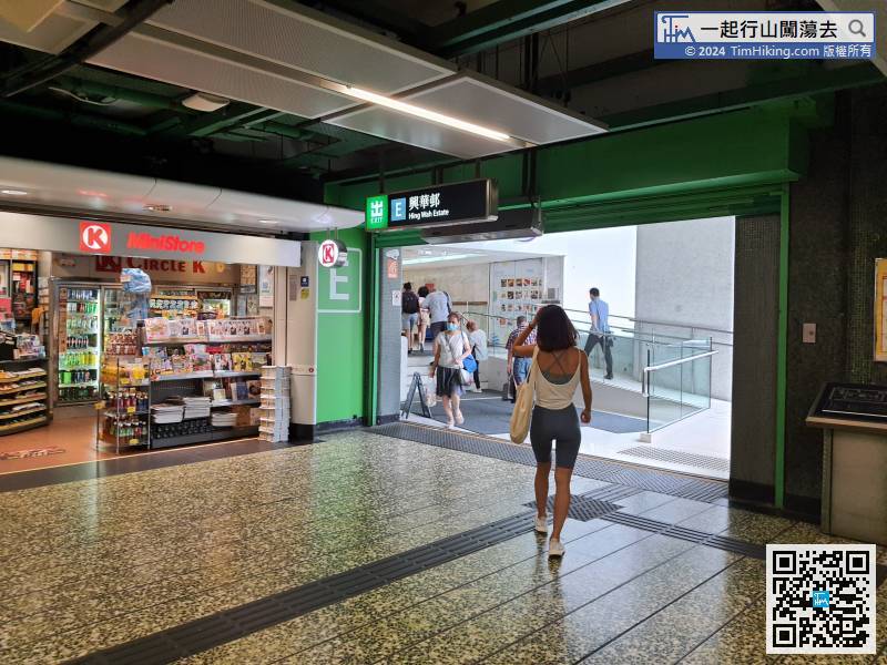
The starting point is at Chai Wan, and the ending point is at Shau Kei Wan. Take the MTR to Chai Wan Station, and then leave from Exit E.
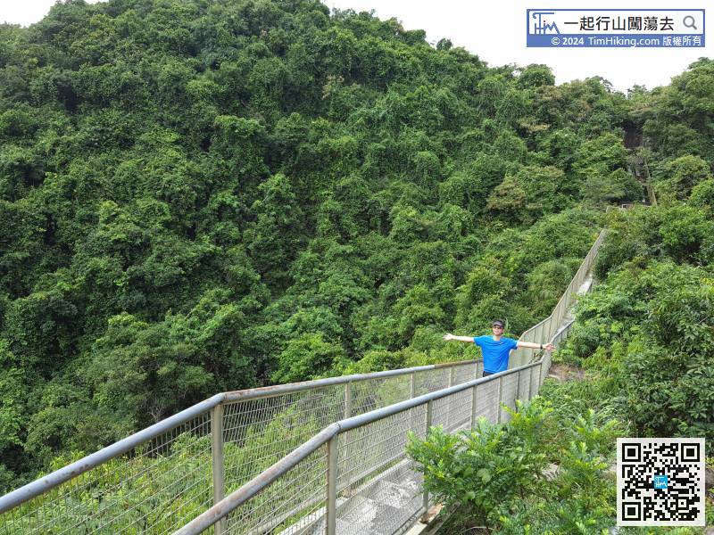
 10︰At the bottom of the bridge, will find a step up the hill.
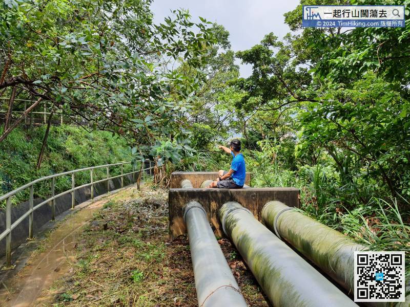
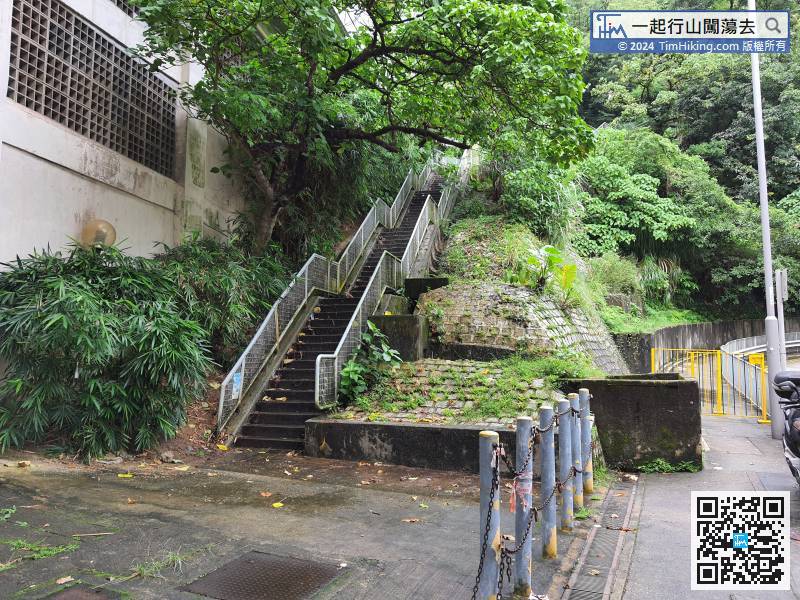 21︰and can see the water flowing from the stream.
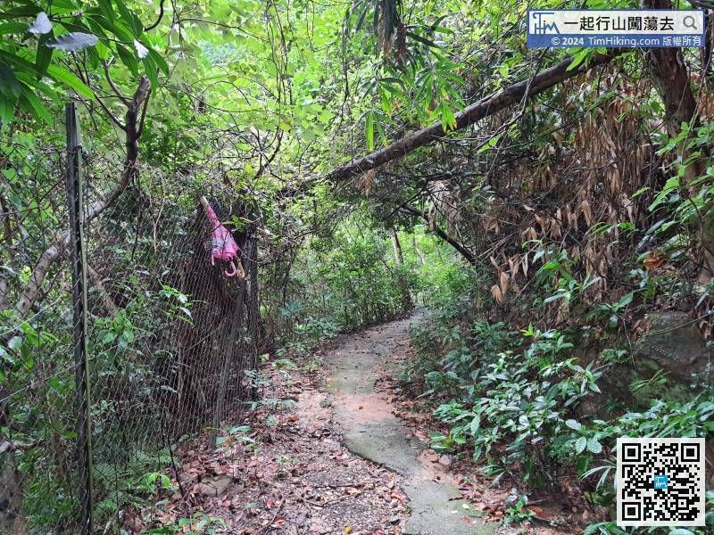
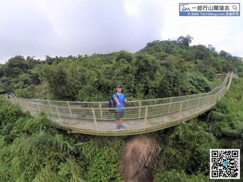
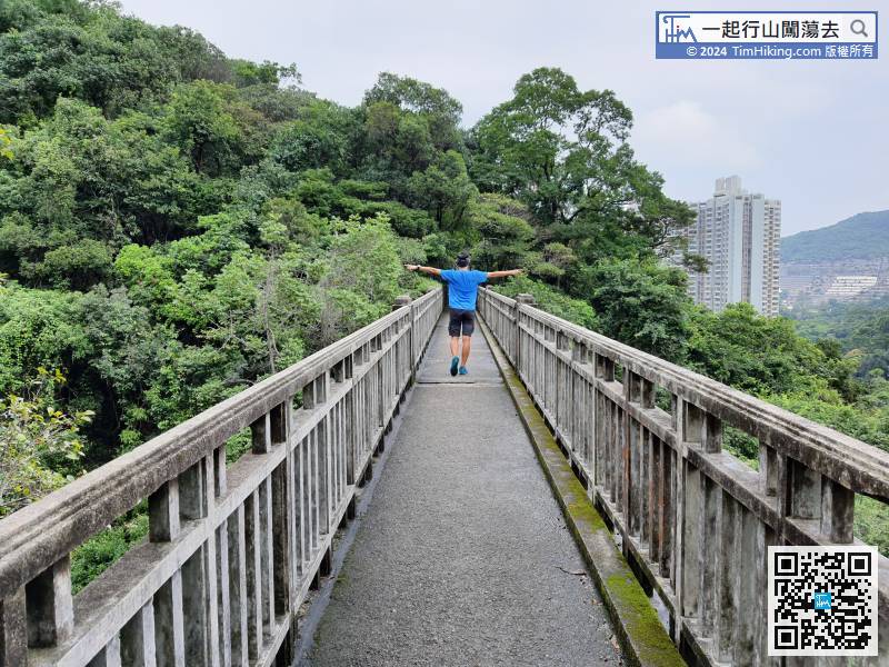
 41︰The bridge is made of concrete with arches, the British flavour is very strong.
 58︰Just apart in front of the Fresh Water Service Reservoir,
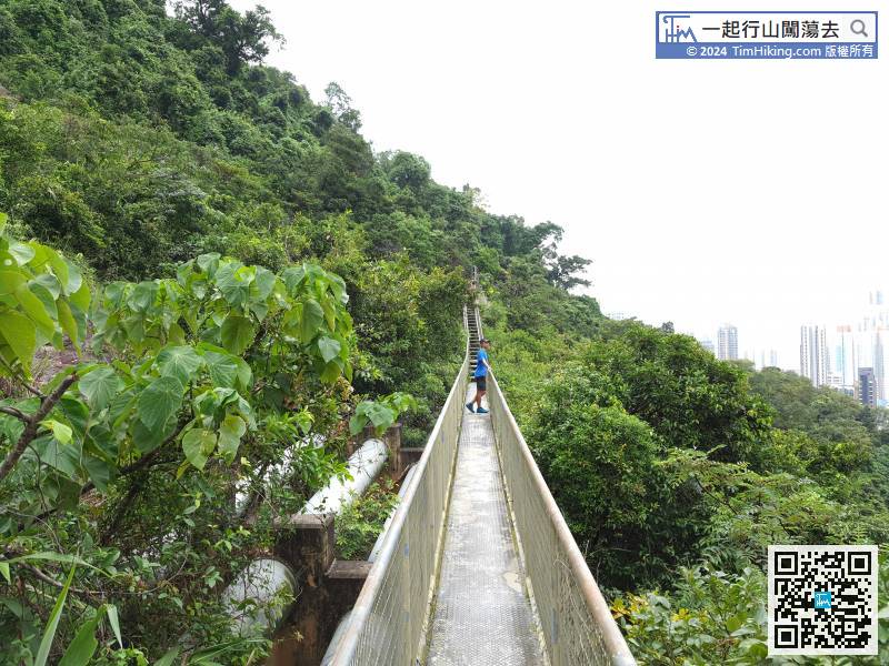
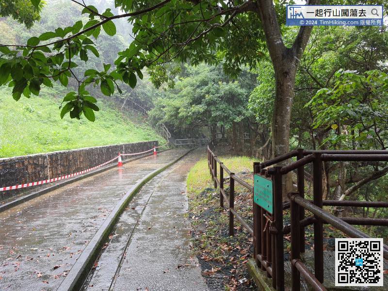 72︰the main purpose is to repair water pipes, only one person is allowed to pass.


