


 Recommend YouTube

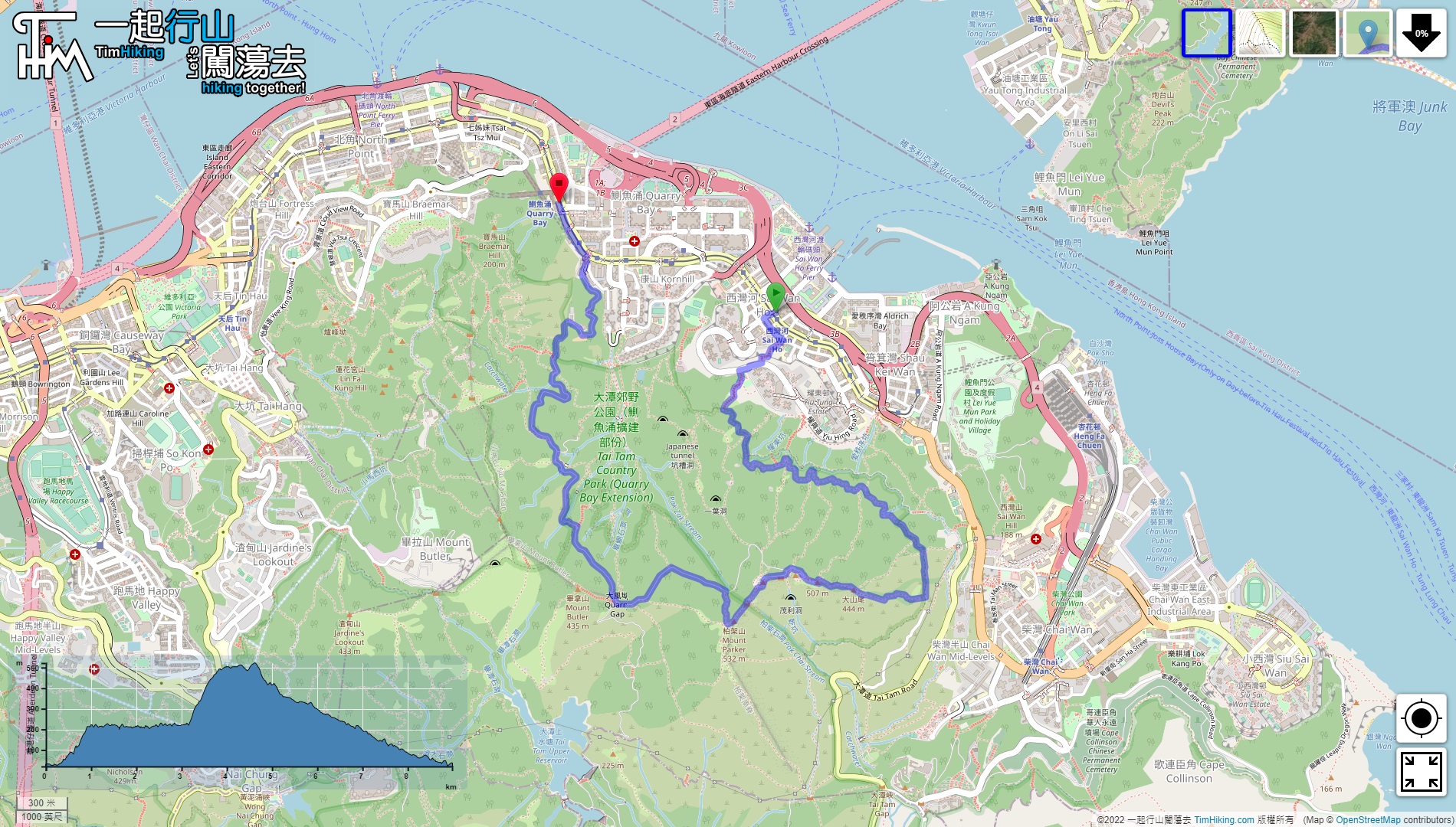

| View : |  | ||
| Difficulty : |  | ||
| Path : | |||
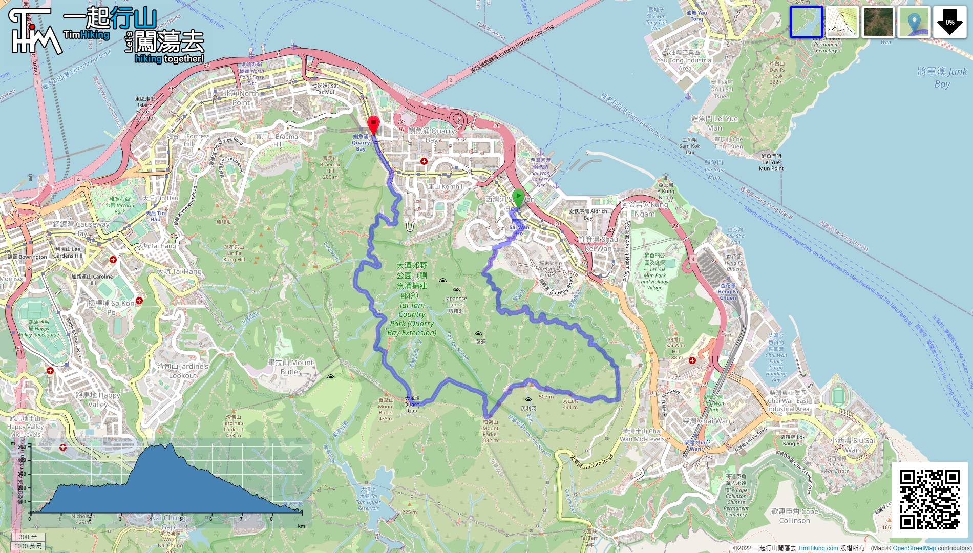
| Length : | 7.9km | ||
| Time : | 4½hours | ||
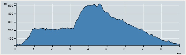 | |
| Ascent : 762m | Descent : 742m |
| Max : 522m | Min : 20m |
| (The accuracy of elevation is +/-30m) | |


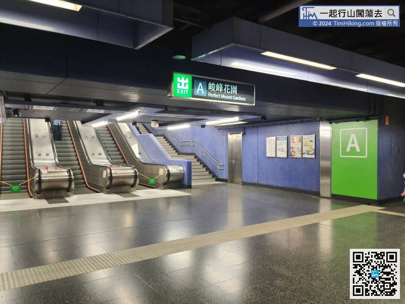
 17︰note that there are two stairs on one of the floors, need to keep to the left and do not keep going up the stairs on the right.
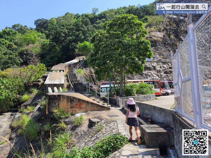
Hikers will see a long staircase on the left side of the front retaining wall.
 38︰will connect to a mountain trail with many roots,
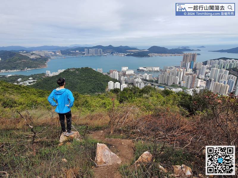
 51︰come to a small rock platform overlooking the eastern part of Hong Kong Island, as far as the Tseung Kwan O landfill, Tung Lung Chau, Ninepin Group, etc.
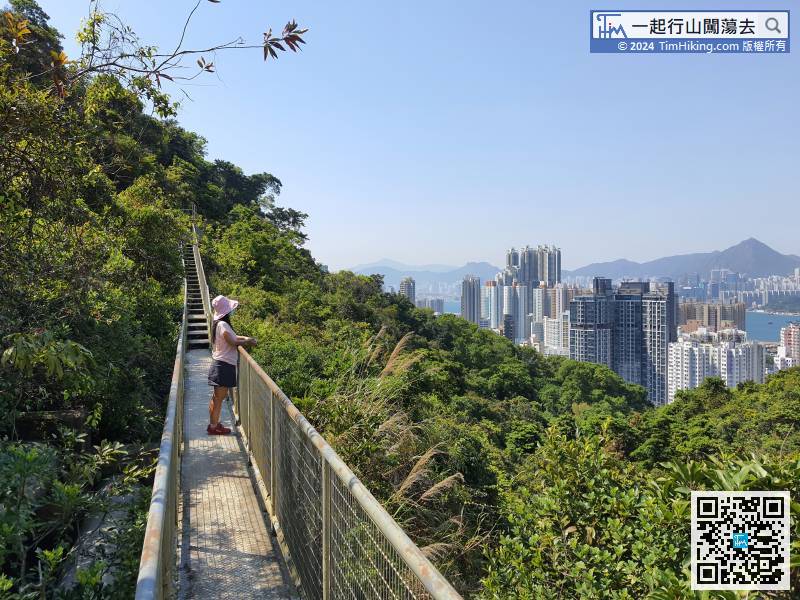
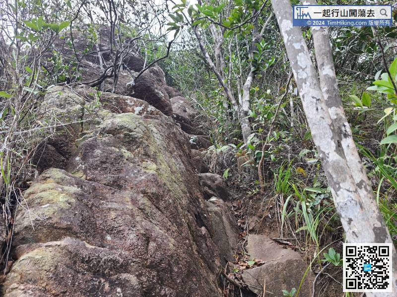 63︰Entering a vast bush is the easiest place to get lost.
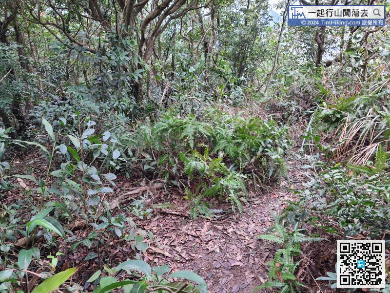
The next section of the mountain trail is the haziest. Hikers must walk on the clearest road embryo
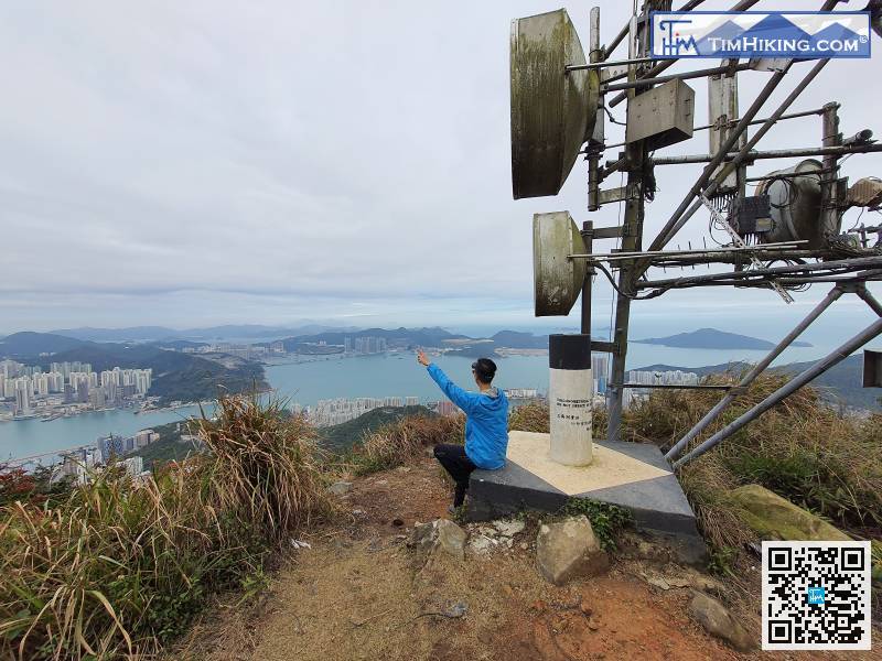
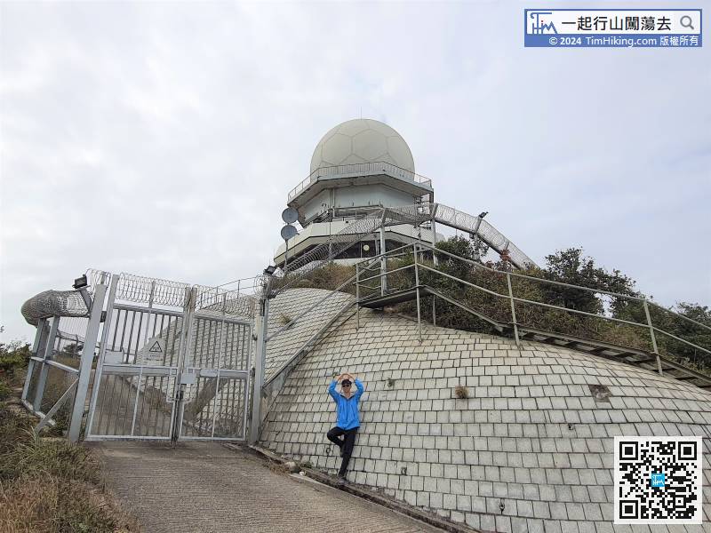
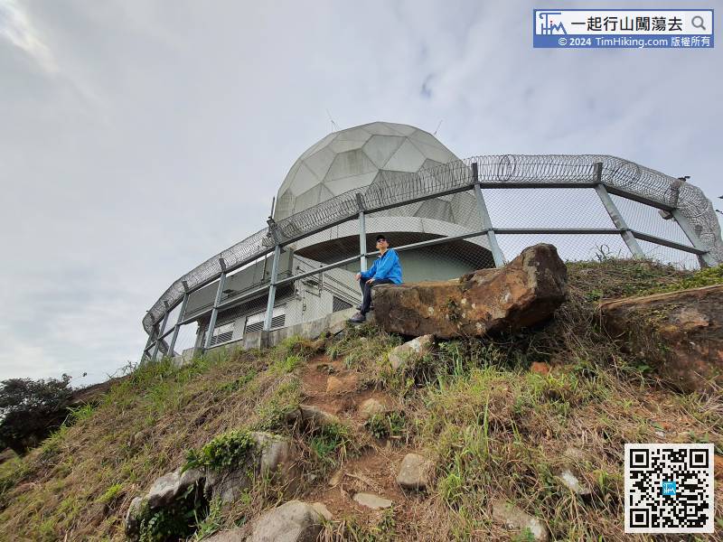
73︰and will see one of the Radar Stations.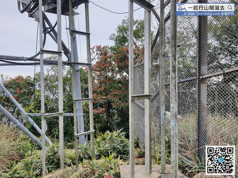 84︰can find a barren trail to the top of Mount Parker.
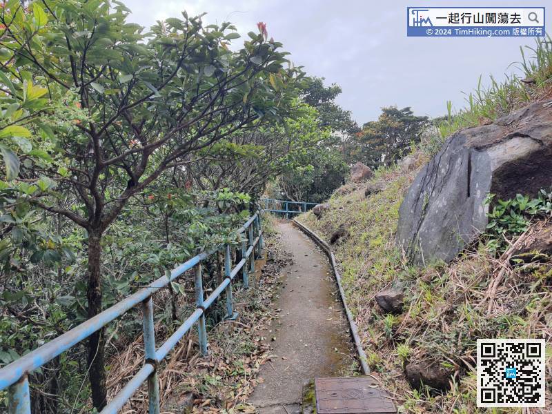 98︰Two minutes later, come to a fork,
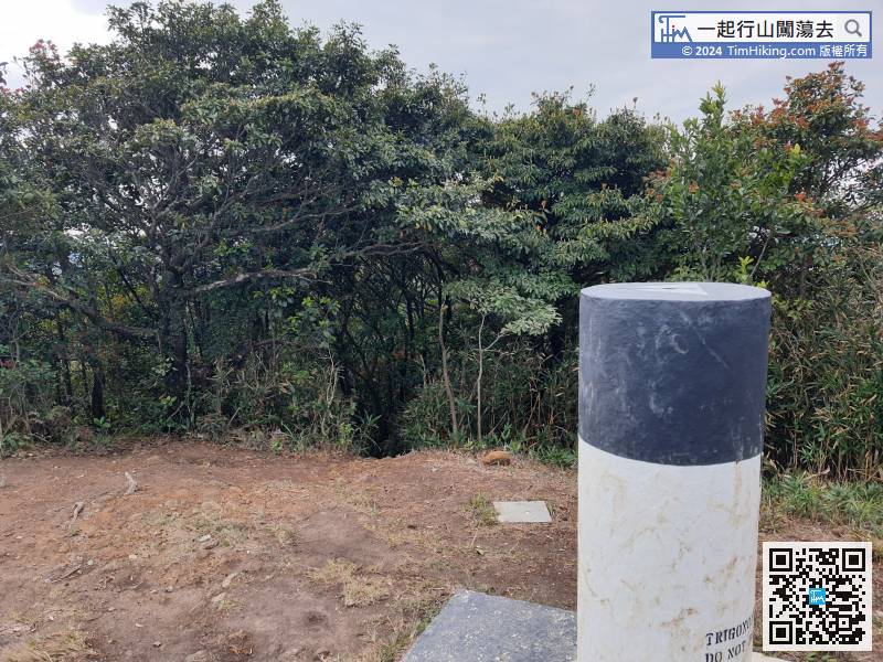
After a short break, just leave behind the Trigonometrical Station.
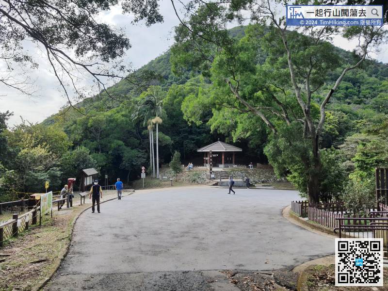
In an instance, will come to the very familiar Quarry Gap.


