


 Recommend YouTube


| View : |  | ||
| Difficulty : |  | ||
| Path : | |||
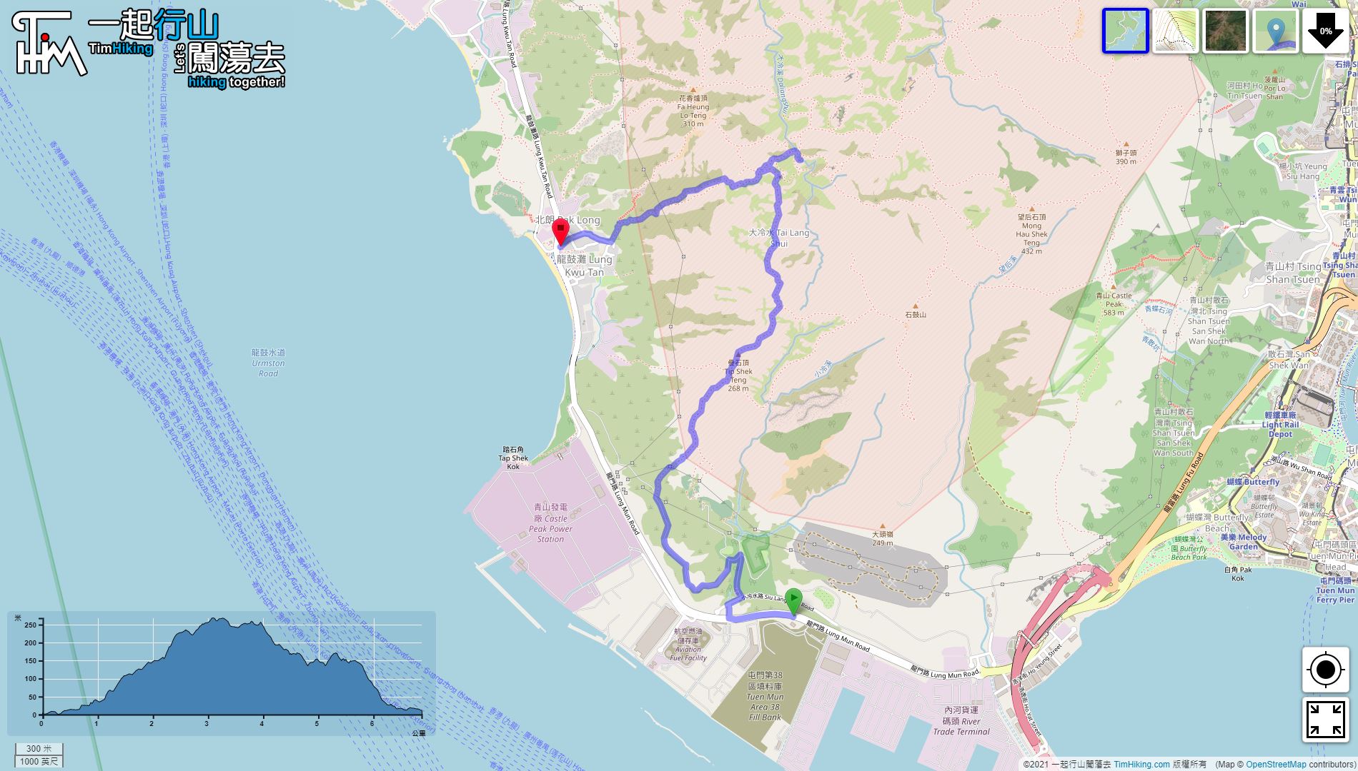
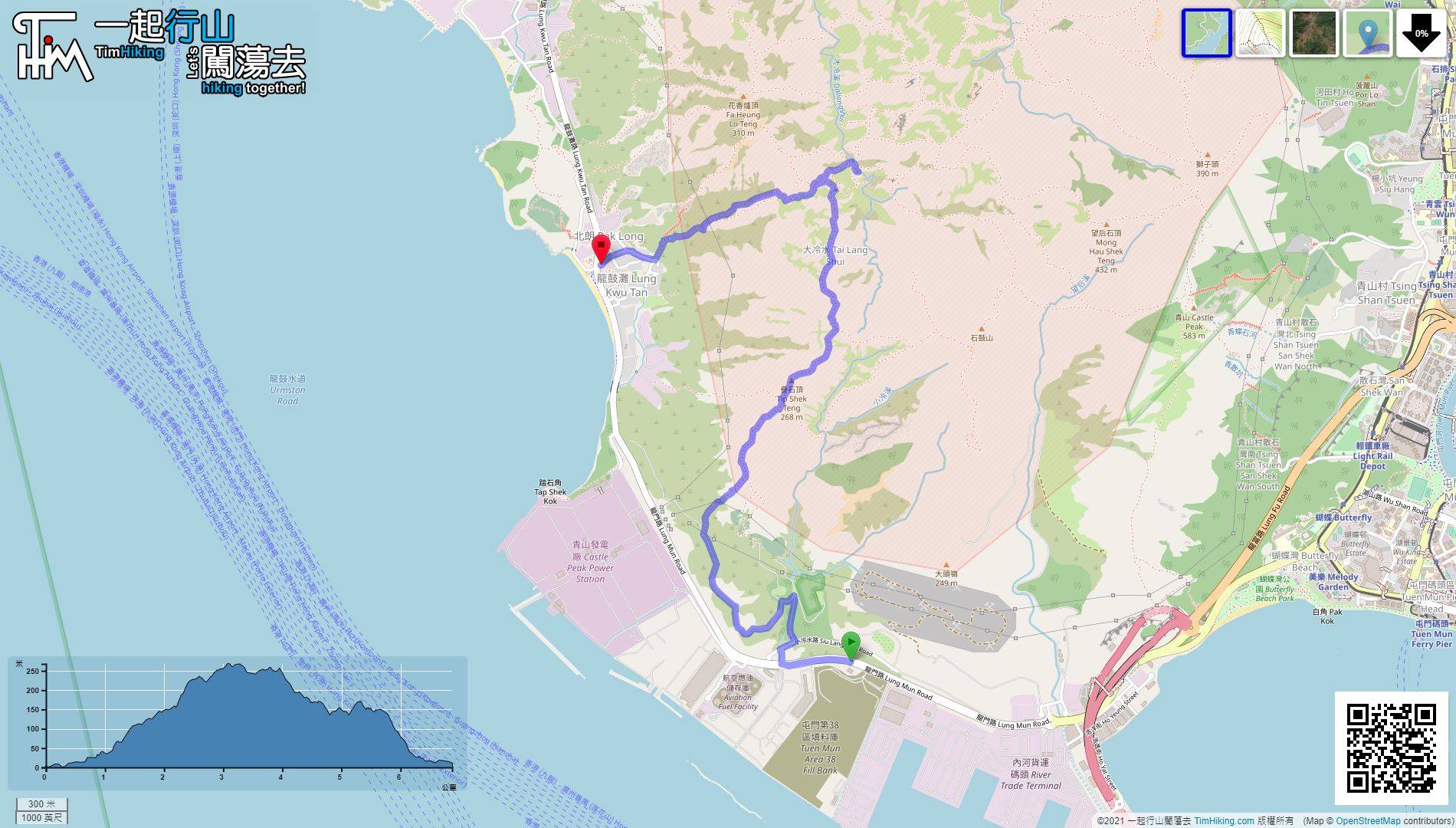
| Length : | 6.9km | ||
| Time : | 4½hours | ||
 | |
| Ascent : 433m | Descent : 420m |
| Max : 251m | Min : 0m |
| (The accuracy of elevation is +/-30m) | |


 13︰pay attention to the obvious barren trail within 50 meters to the right.
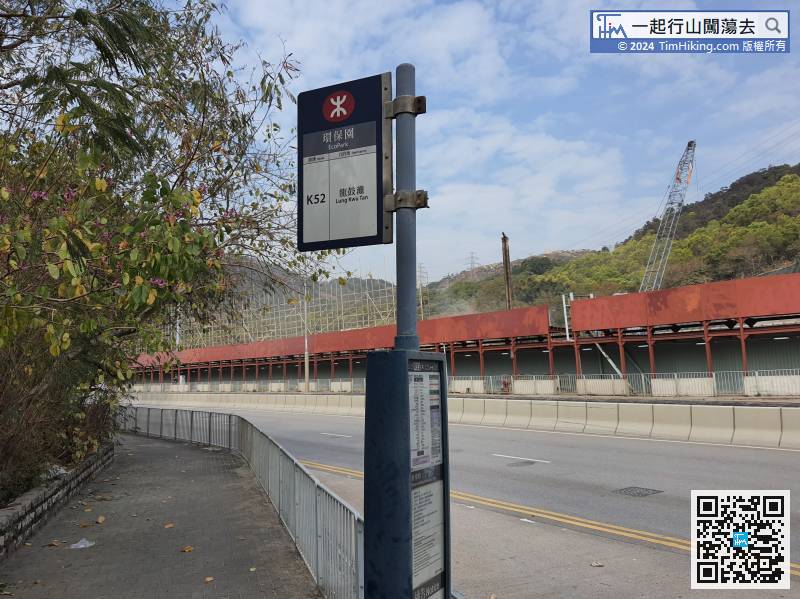
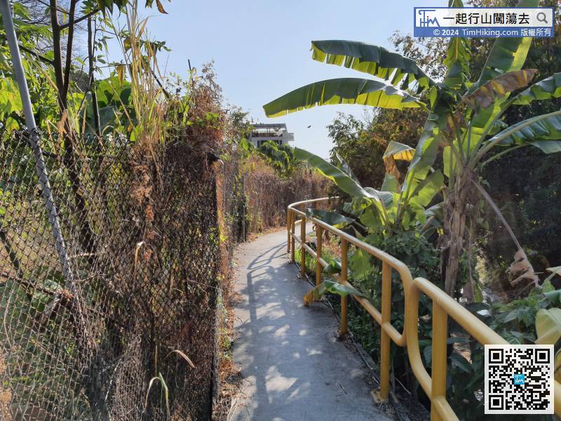
The starting point is near Castle Peak Bay Fishermen's Cemetery. You can take the K52 bus at Tuen Mun Station and get off at EcoPark Station.
25︰they will join together soon.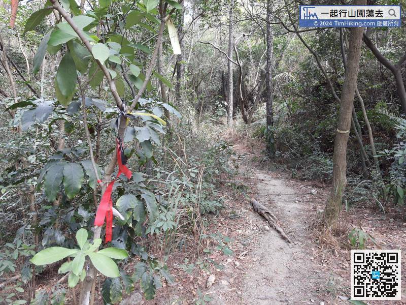
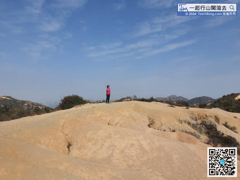
That is the barren trail to climb Tip Shek Teng, there are ribbons tied at the intersection, and the road embryo is very clear.
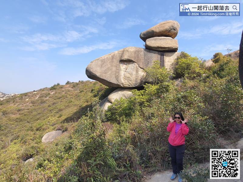
31︰Not far ahead, will see Puppy Rock,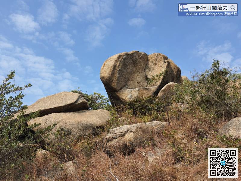
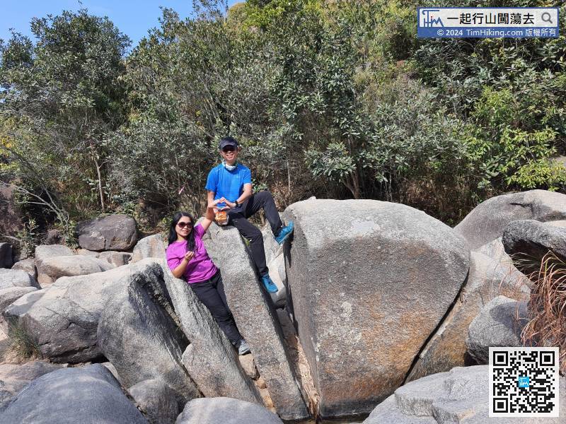
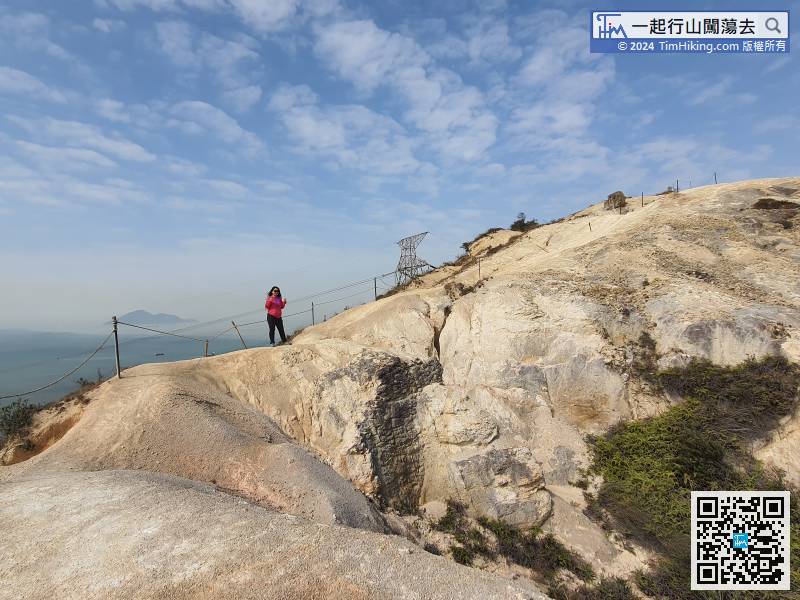
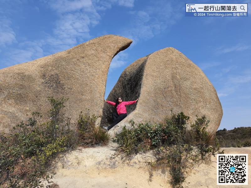
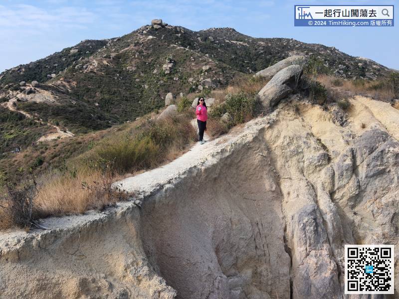
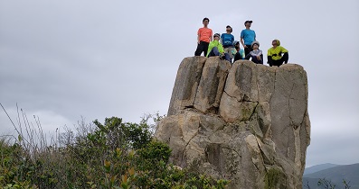
From the beginning, there are a lot of strangely shaped rocks.
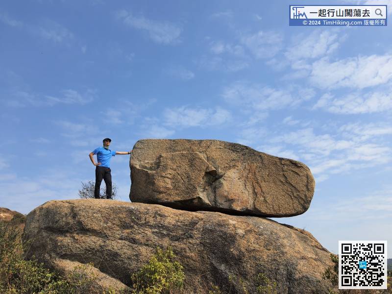
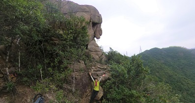
41︰The first set is Giraffe Rock, which personally think is more like a Sea Lion Rock.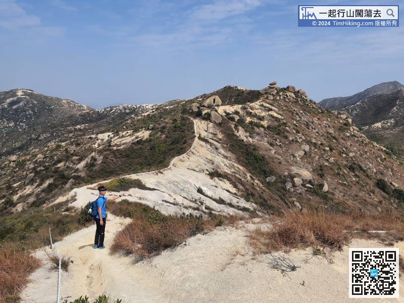 53︰Next, climb to the hill with your path
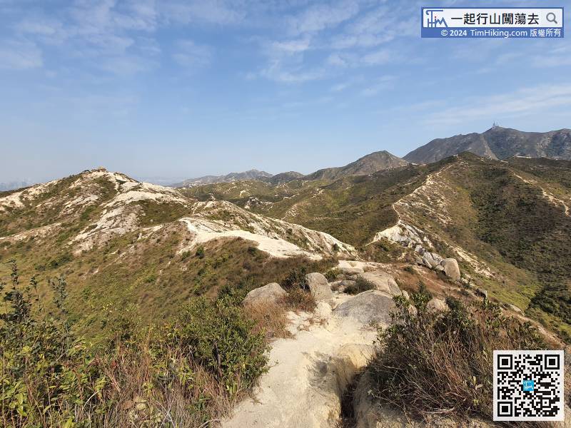
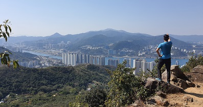
The sense of direction is very important in Castle Peak Hinterland, must be clear to know the planning route going to take. The right back is Castle Peak, and the road on the right is towards Shek Kwu Shan.
63︰When coming to the next fork, do not go straight to Fa Heung Lo Teng. The road on the right-hand side is Fa Long Ancient Trail. 73︰and keep climbing forward, will see the Bread Rock.
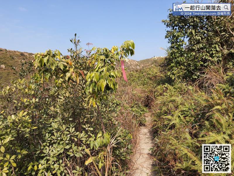 77︰At the bifurcation, keep to the left and return to the trench just passed.
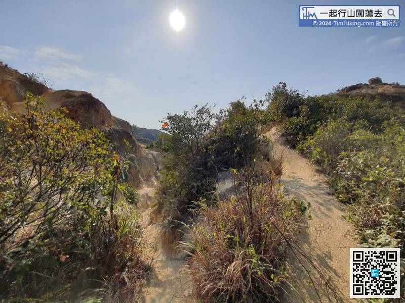
At the bifurcation, keep to the left and return to the trench just passed.


