| View : |  | ||
| Difficulty : |  | ||
| Path : | |||
| Length : | 5km | ||
| Time : | 3hours | ||
 | |
| Ascent : 362m | Descent : 372m |
| Max : 203m | Min : 1m |
| (The accuracy of elevation is +/-30m) | |
 6︰will see a small step, that is the entrance to Owl Ridge.
 18︰can easily see the lifelike Owl Rock after climbing up.
 31︰Going to the other side, can see LOHAS Park, Lei Yue Mun Strait and the newly built Butterfly Bridge.
 70︰The gun bed of the Battery No.1 is not as big as Gough Battery, and the centre is covered with weeds.
 81︰the design is the same as the British WWII Power Plant next to Cape Collinson Battery Searchlight.
 94︰Not far ahead, will find the first Battery Searchlight, which is the same as Cape Collinson Battery Searchlight, but the ceiling has also collapsed.
 99︰The size of this Battery Searchlight is almost the same, also the ceiling is gone.
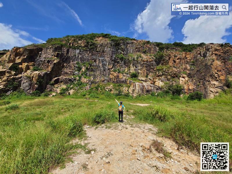
 111︰so quickly to the top of Lei Yue Mun Quarry, do not try to go straight down, the way is to heaven.
 120︰The majestic quarry is a good place to take photos and fishing.


 Recommend YouTube


