


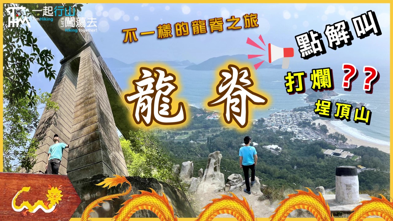
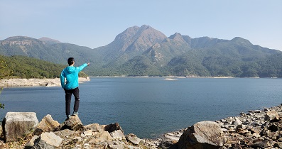
 Recommend YouTube


| View : |  | ||
| Difficulty : |  | ||
| Path : | |||
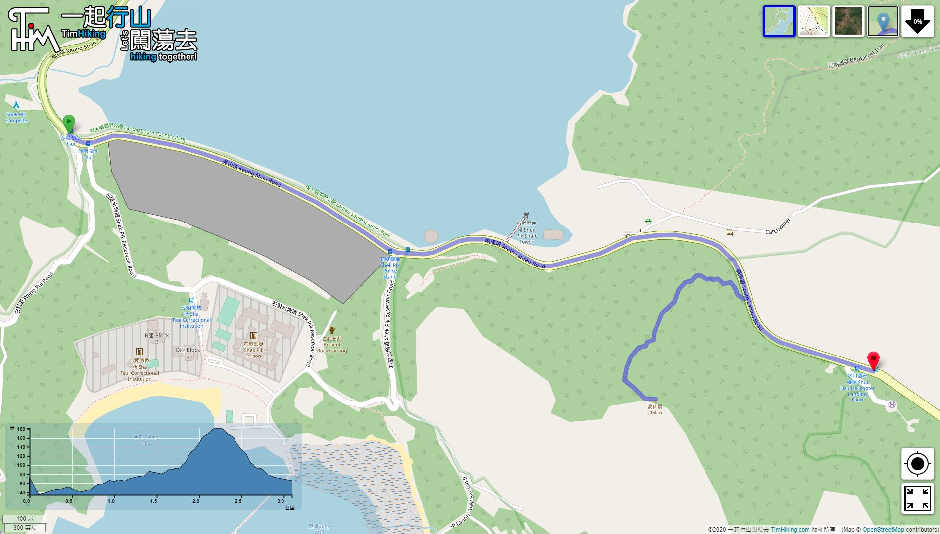
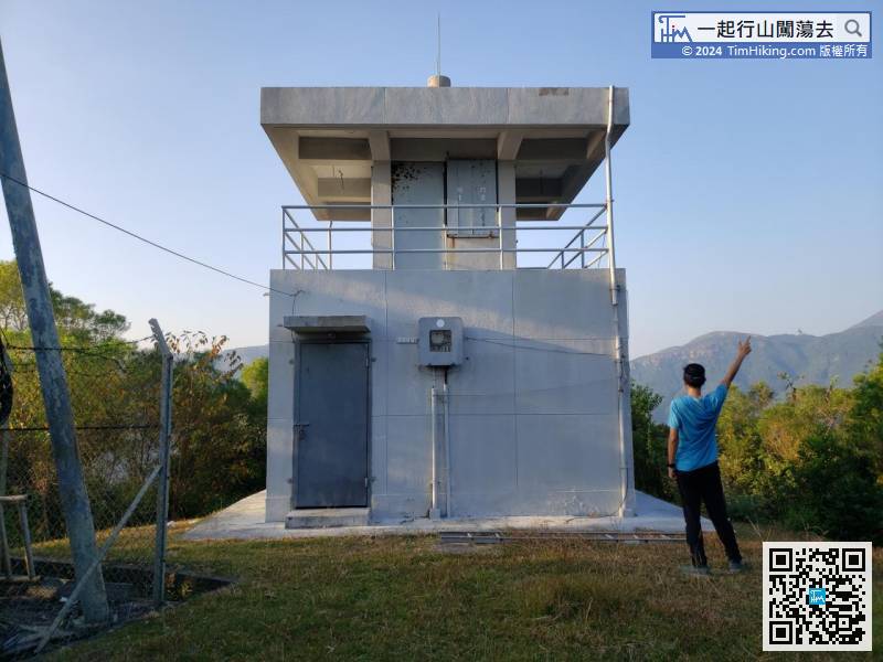
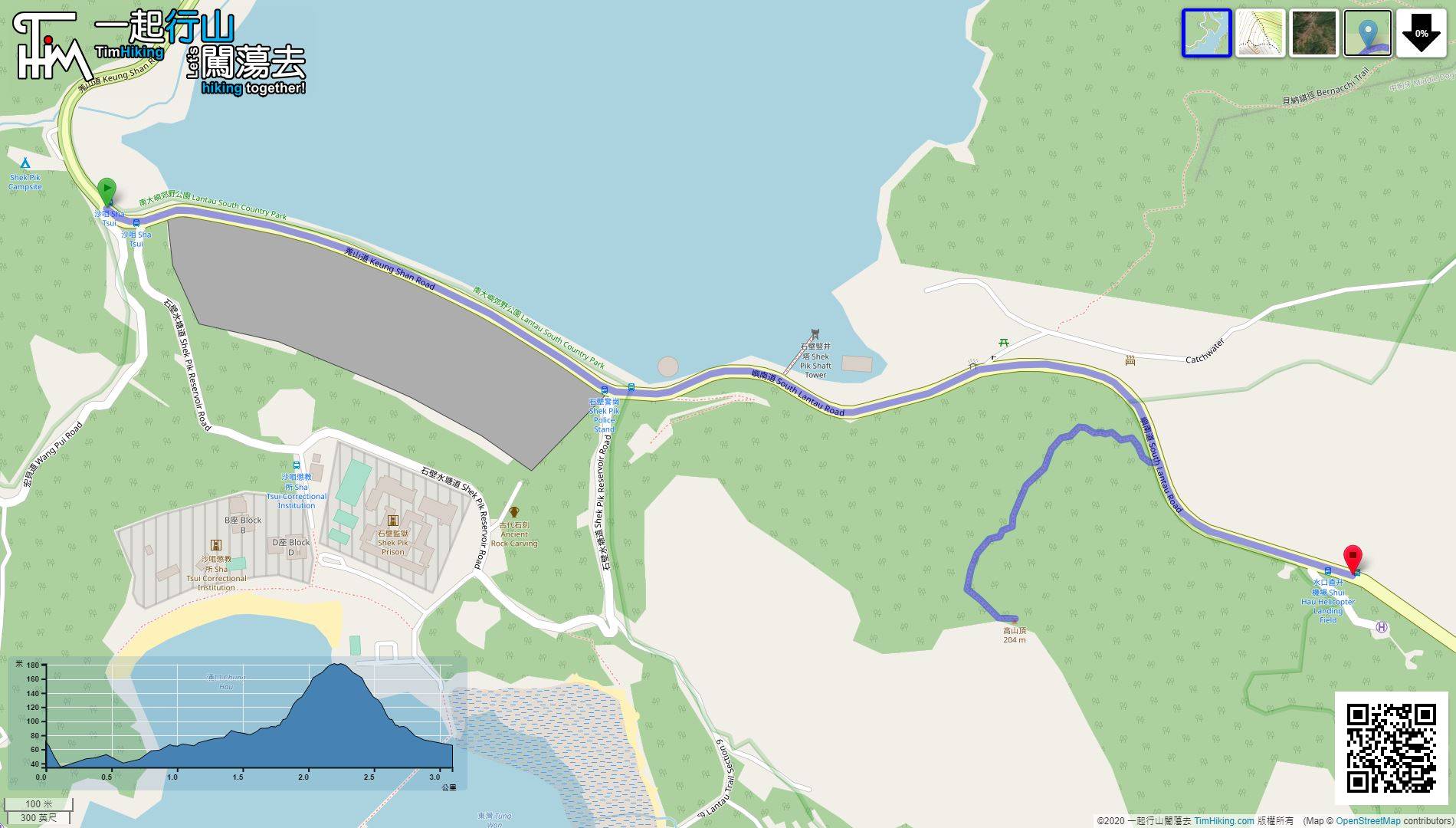
| Length : | 3.1km | ||
| Time : | 1½hours | ||
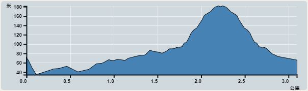 | |
| Ascent : 187m | Descent : 187m |
| Max : 181m | Min : 34m |
| (The accuracy of elevation is +/-30m) | |


| View : | | ||
| Difficulty : | | ||
| Path : | |||
| Length : | 3.1km | ||
| Time : | 1½hours | ||
| |
| Ascent : 187m | Descent : 187m |
| Max : 181m | Min : 34m |
| (The accuracy of elevation is +/-30m) | |
Thanks a lot! Hope our hiking information is helpful to you. Everyone is happy to go hiking and safely!
Welcome to use Payme AlipayHK to sponsor Tim Sir's efforts! Continue to give selflessly for the mountain world.
Let there be no grief in your hearts; for the joy of the Lord is your strong place.
Nehemiah 8:10

一起爬山闖蕩去 | timhiking | timhiking | timhiking | Message Board | Disclaimer


