


 Recommend YouTube


| View : |  | ||
| Difficulty : |  | ||
| Path : | |||
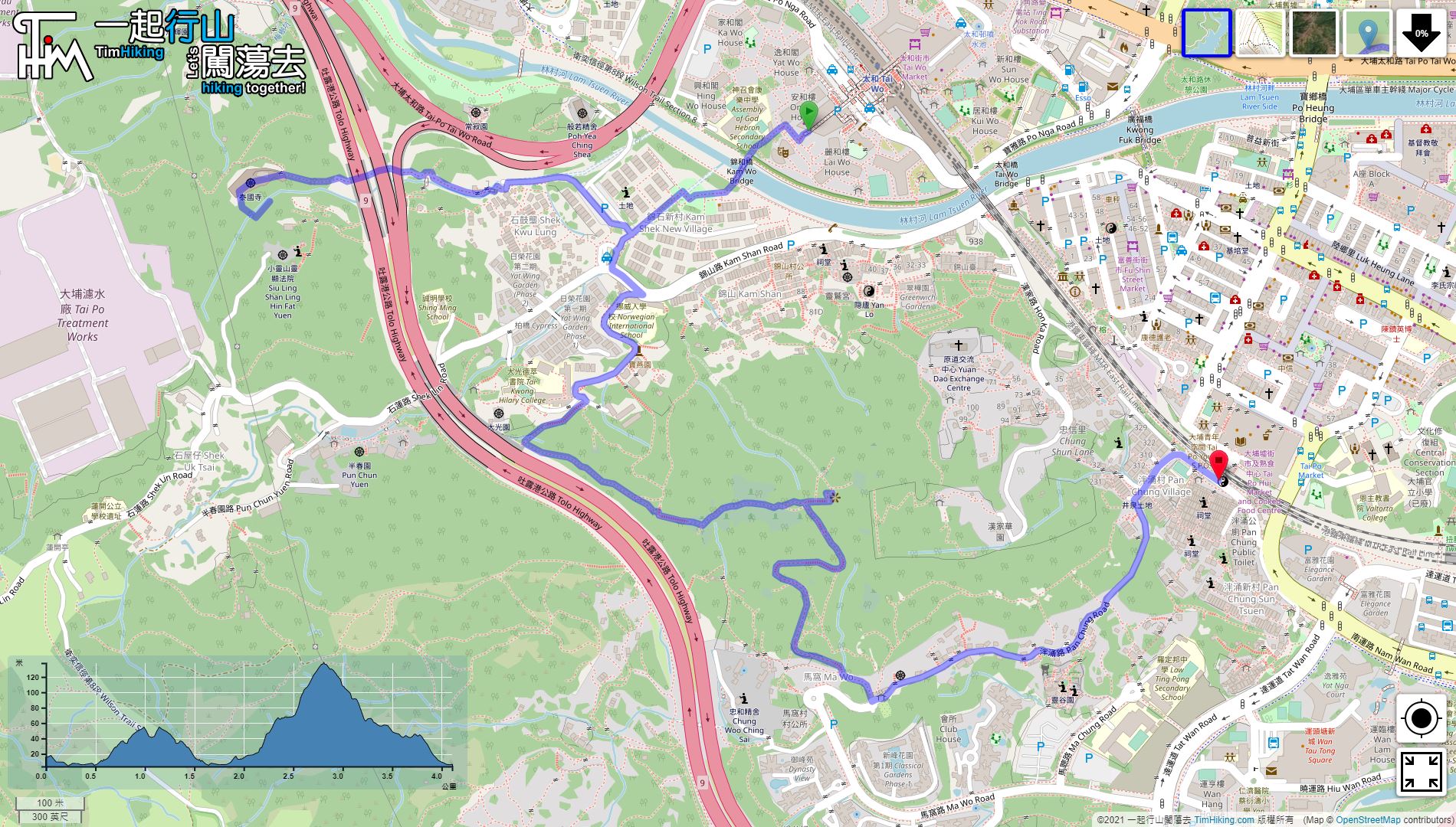
| Length : | 4.2km | ||
| Time : | 2hours | ||
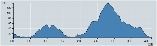 | |
| Ascent : 221m | Descent : 229m |
| Max : 129m | Min : 4m |
| (The accuracy of elevation is +/-30m) | |


From the starting point near Tai Wo, you can take the MTR to Tai Wo Station. After leaving at Exit A, keep to the left and leave Tai Wo Plaza.
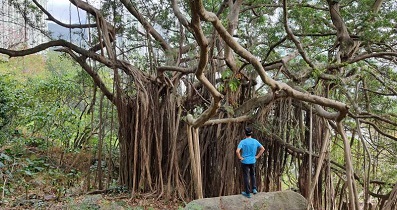
 8︰Go along the road, turn on the footbridge,
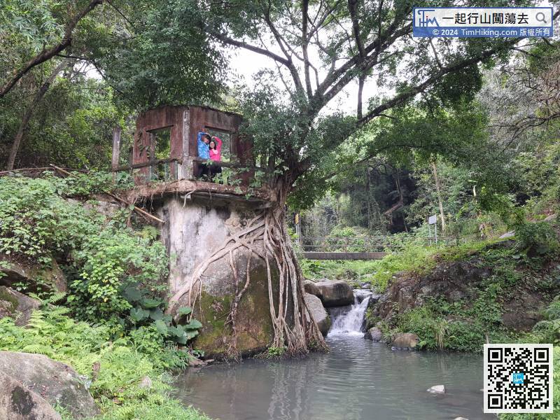
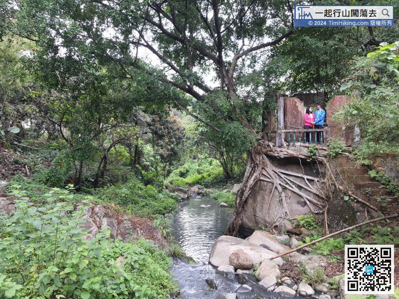
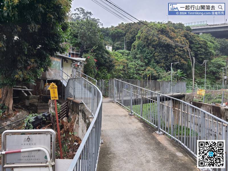 21︰Looking back to the treehouse, the view is very beautiful.
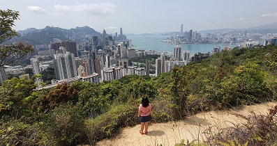
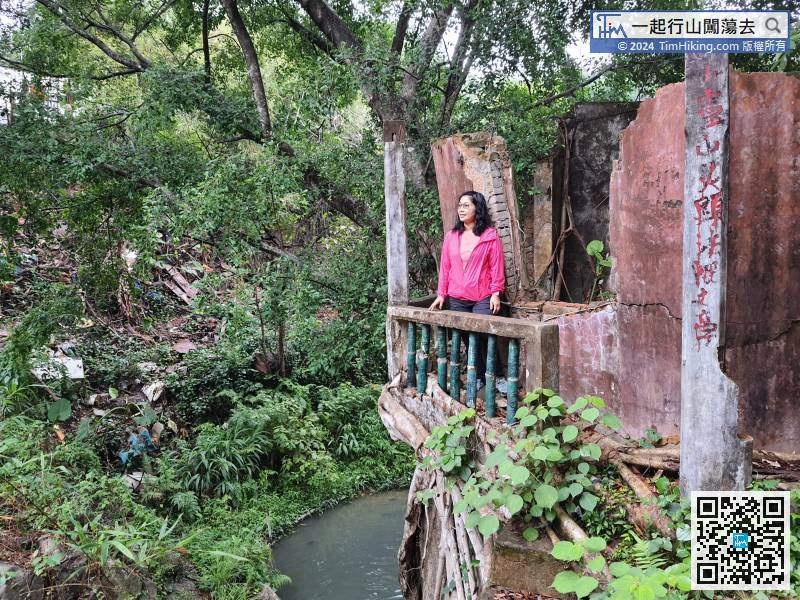
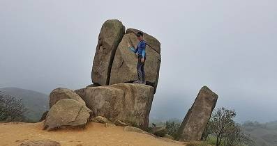
The treehouse has a concrete base, but the roof has collapsed and the walls are slanted. Please be careful.
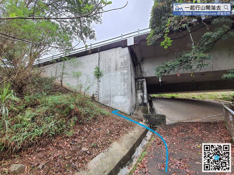 38︰When you come to the catchwater, you need to turn left and continue on the barren trail.
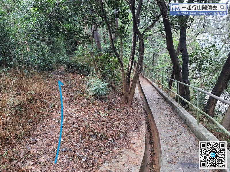
When you come to the catchwater, you need to turn left and continue on the barren trail.
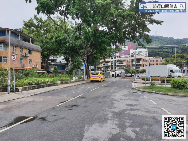
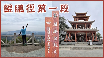
45︰Soon, you will be able to connect to the official trail.


