


 Recommend YouTube


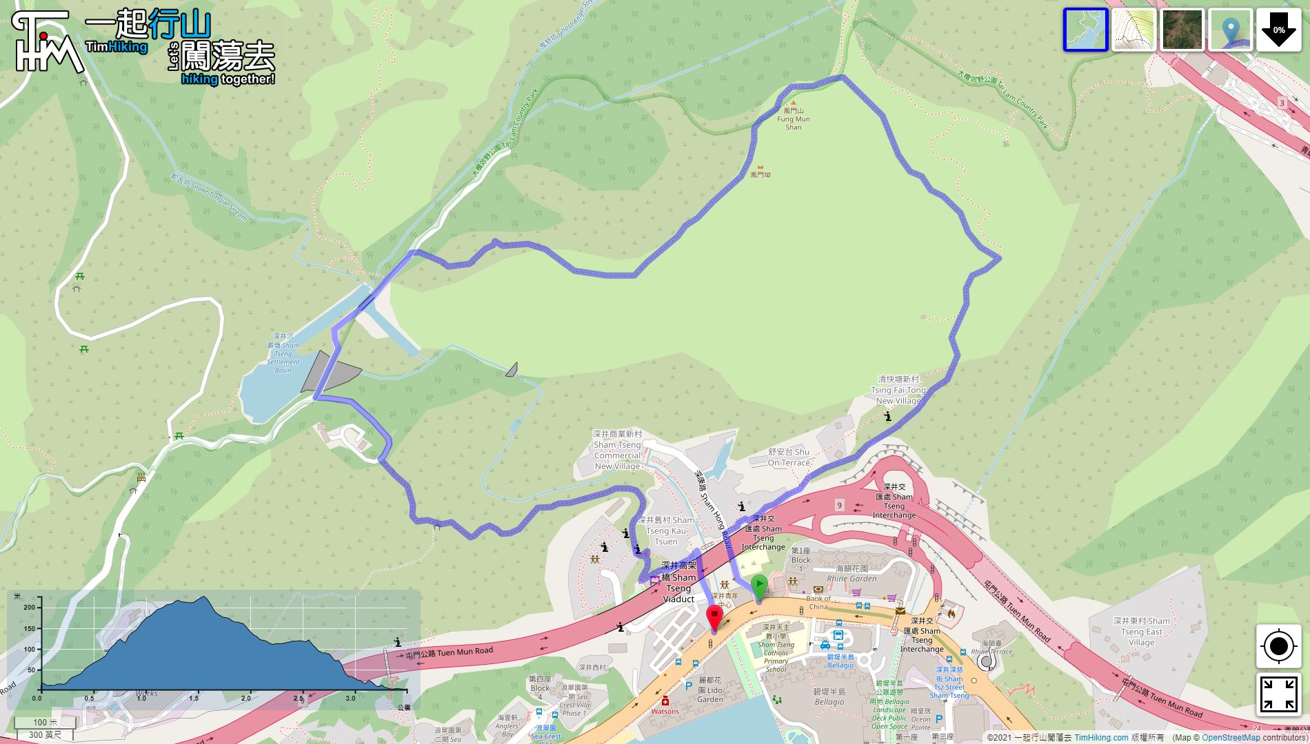

| View : |  | ||
| Difficulty : |  | ||
| Path : | |||
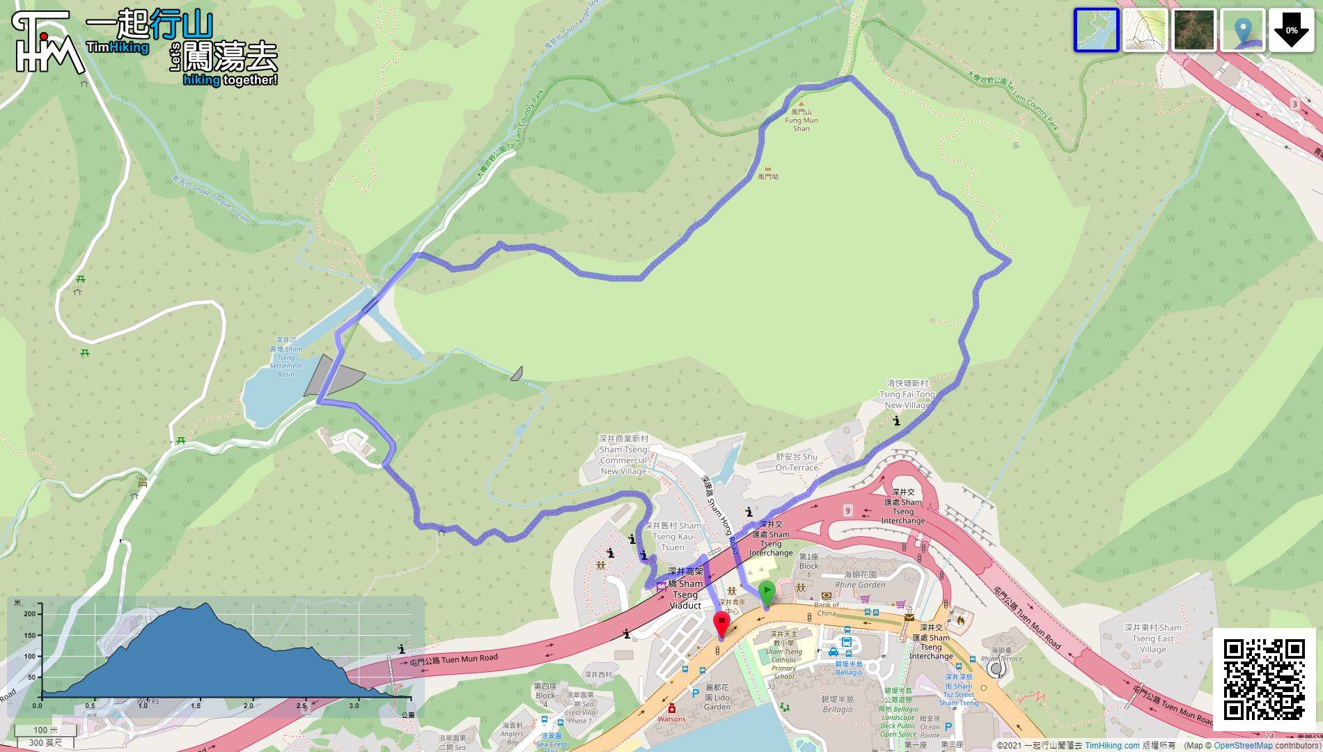
| Length : | 3.5km | ||
| Time : | 1½hours | ||
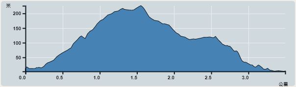 | |
| Ascent : 284m | Descent : 284m |
| Max : 216m | Min : 2m |
| (The accuracy of elevation is +/-30m) | |


 7︰Hikers only need to follow the signs and it is not easy to get into the village by mistake.
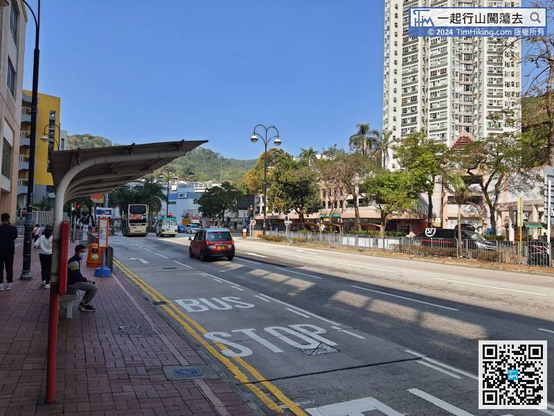
The starting point is Sham Tseng. There are many buses and minibuses passing by. You can choose the one that is suitable for you.
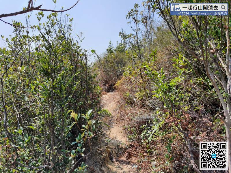
18︰There is a dirt barren trail on the left. Then, leave the concrete road and enter the dirt trail earlier.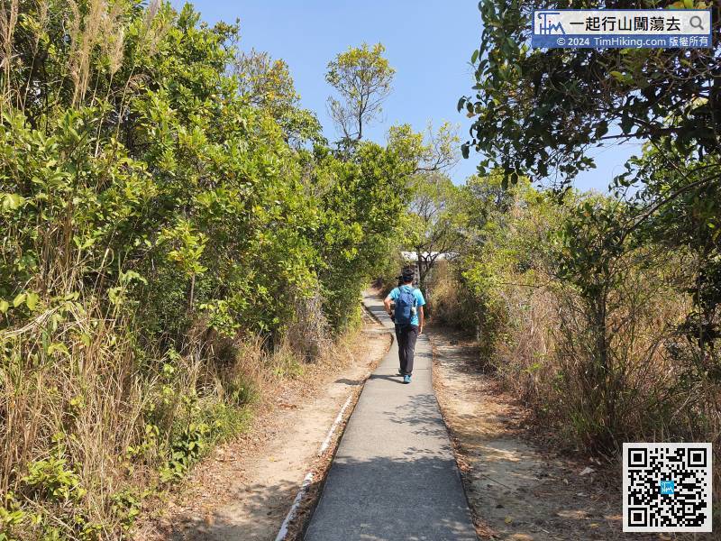
After entering the concrete sloping section, already leave the village area.
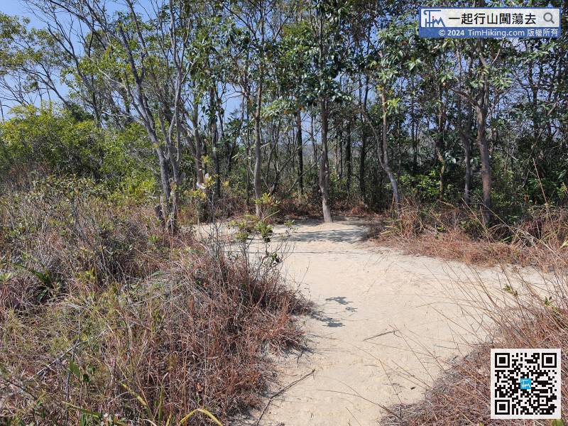
 30︰Keep left on the big sandy land
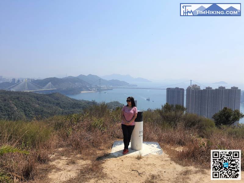
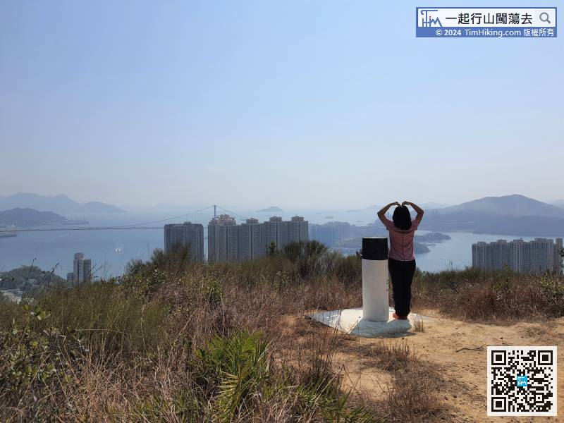
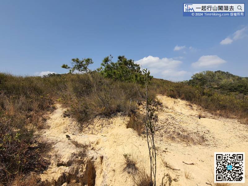 46︰and you can enjoy the beautiful scenery of the three bridges.
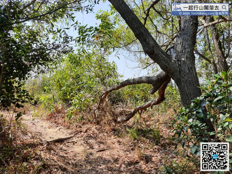
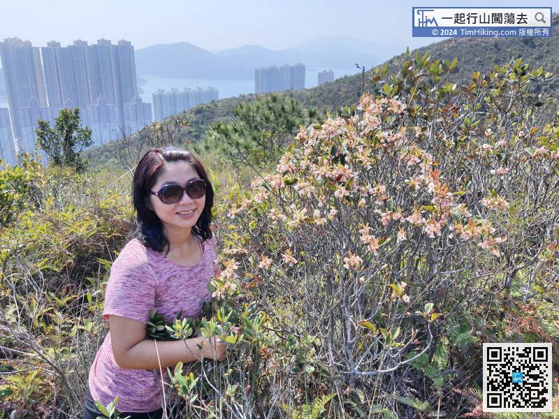
 59︰Keep to the left,
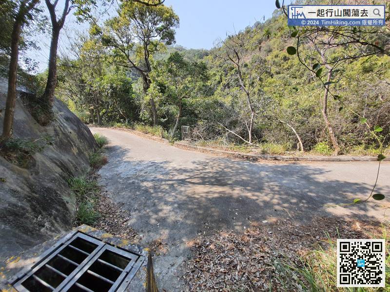


