


 Recommend YouTube


| View : |  | ||
| Difficulty : |  | ||
| Path : | |||
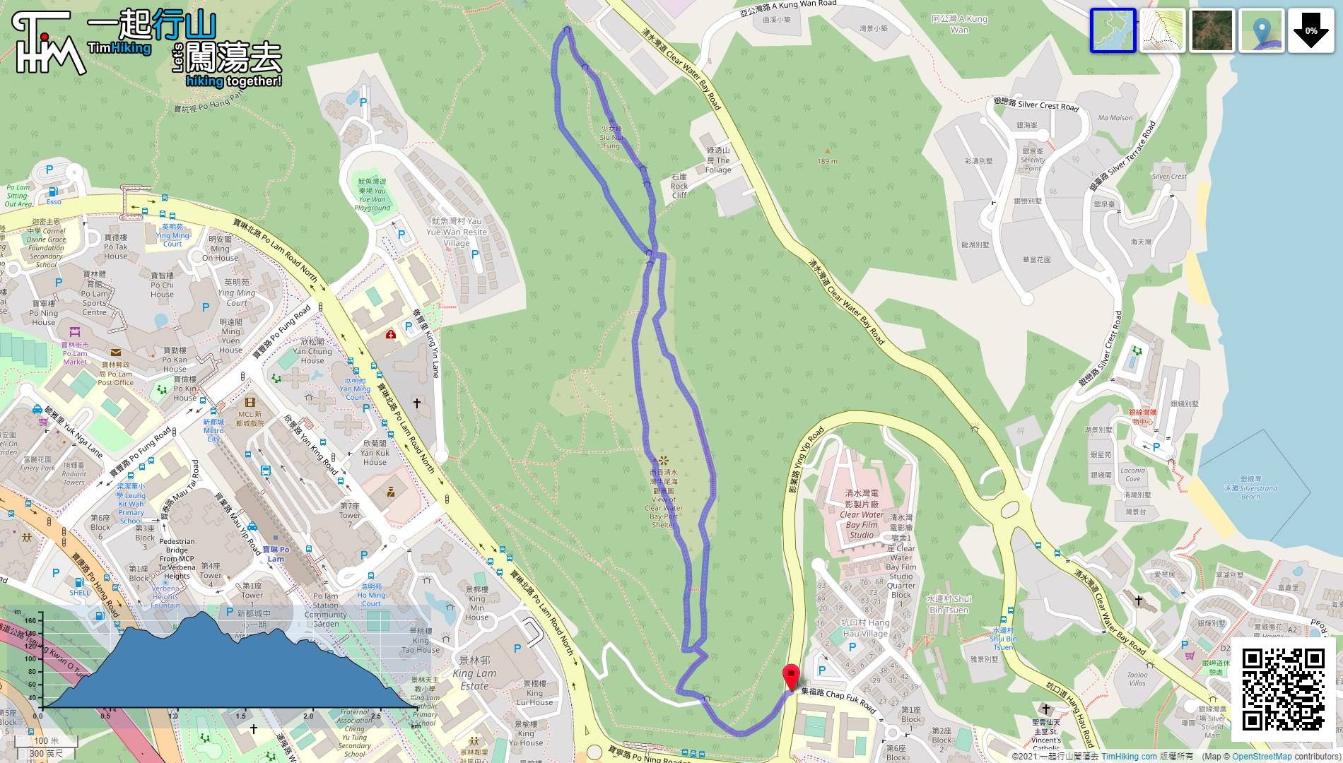
| Length : | 2.8km | ||
| Time : | 1hours | ||
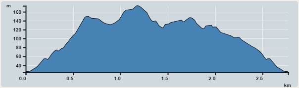 | |
| Ascent : 212m | Descent : 219m |
| Max : 173m | Min : 24m |
| (The accuracy of elevation is +/-30m) | |


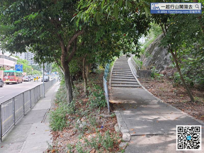
 12︰At the next fork, need to turn left. After a while, will come back from the right.
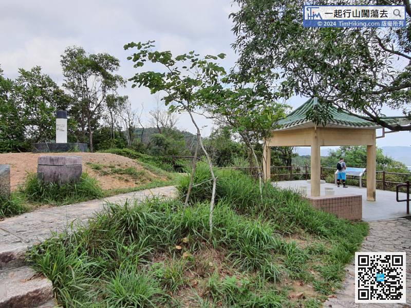
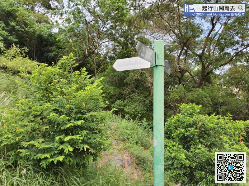 20︰A few minutes later, come to the top of Duckling Hill. There is a trigonometrical station, a pavilion,
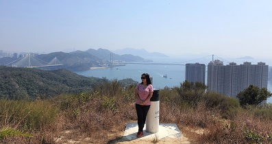
A few minutes later, come to the top of Duckling Hill. There is a trigonometrical station, a pavilion,
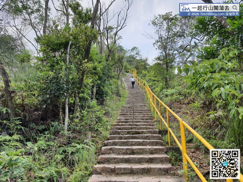
34︰First, go up to Siu Nui Fung, after a while will come back from the left,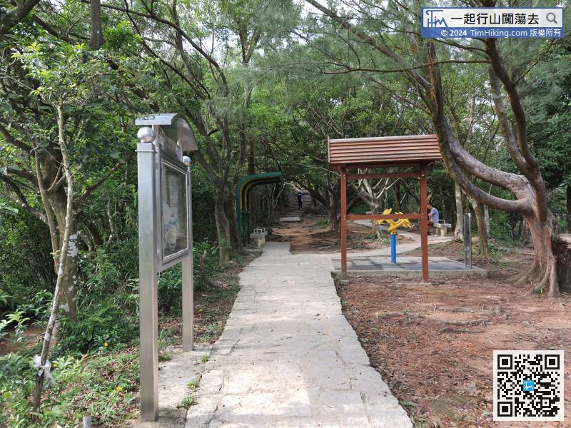
One minute later, come to a small sitting-out area, which is also a crossroad.
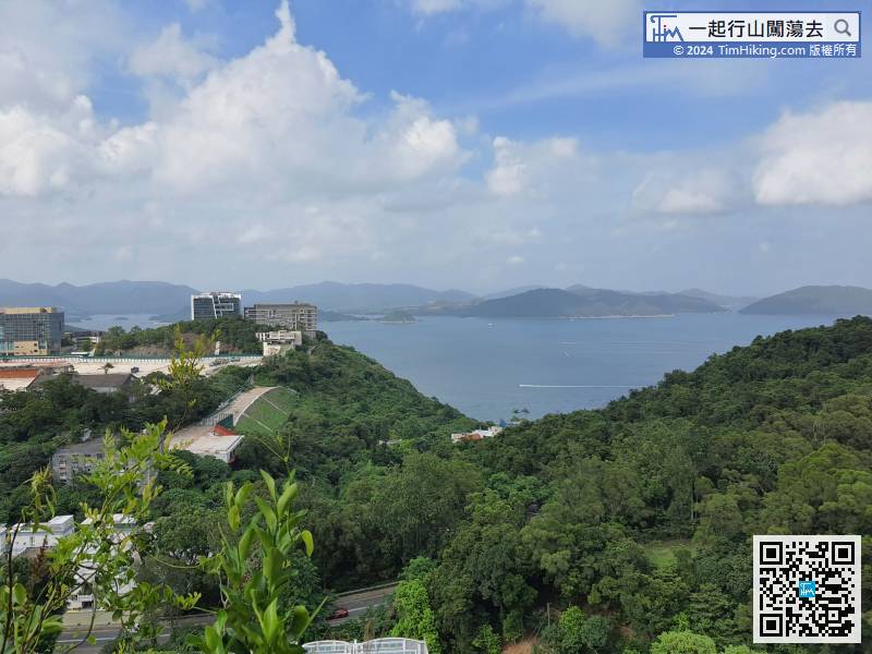
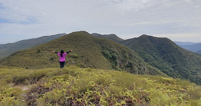
47︰but can see the entire Port Shelter.
 70︰which is a pity that the scenery is almost completely obscured.


