


 Recommend YouTube


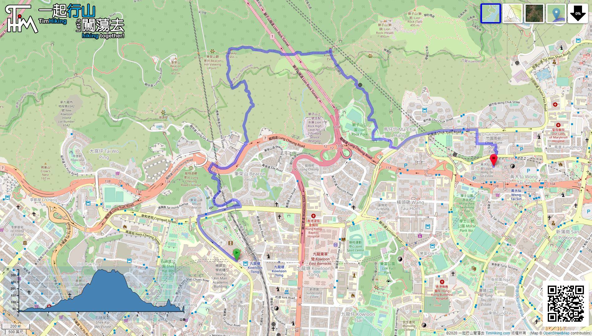
| View : |  | ||
| Difficulty : |  | ||
| Path : | |||
| Length : | 5.5km | ||
| Time : | 3hours | ||
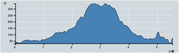 | |
| Ascent : 524m | Descent : 490m |
| Max : 341m | Min : 31m |
| (The accuracy of elevation is +/-30m) | |


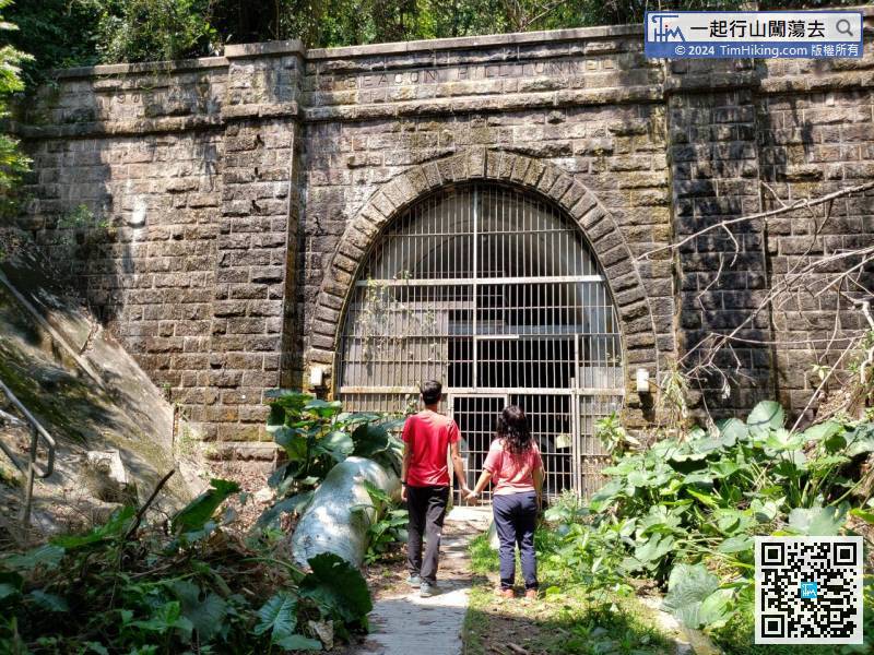
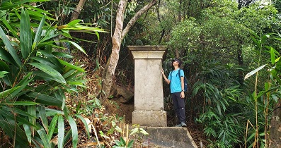
 8︰The Beacon Hill Old Tunnel is narrow, with BEACON HILL TUNNEL engraved in the middle, and the year of construction 1906 in the upper left corner. The opening year 1910 is engraved in the upper right corner.
 31︰will see the entrance full of ribbons.
 46︰and there are also fences to prevent the talc from rolling down to destroy the remaining wall.
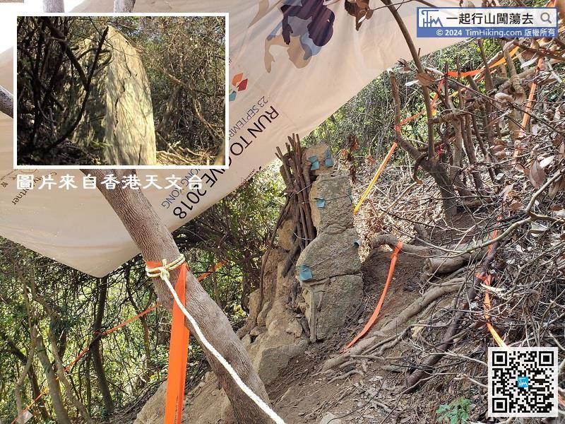
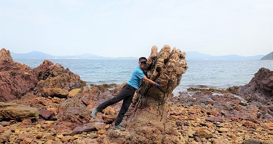
Seeing that the North Prime Meridian Rock has been damaged by Mangkhut, and make is completely incomplete, tree branches and wire are used to temporarily strengthen the pillar,
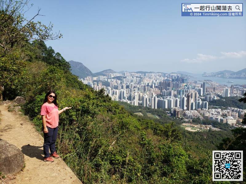
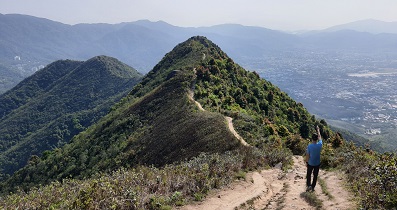
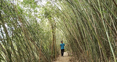
56︰On the way, can see the beautiful scenery of Kowloon,
After arriving at the Marker Stone, keep to the right and walk backwards along the MacLehose Trail.


