


 Recommend YouTube


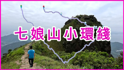
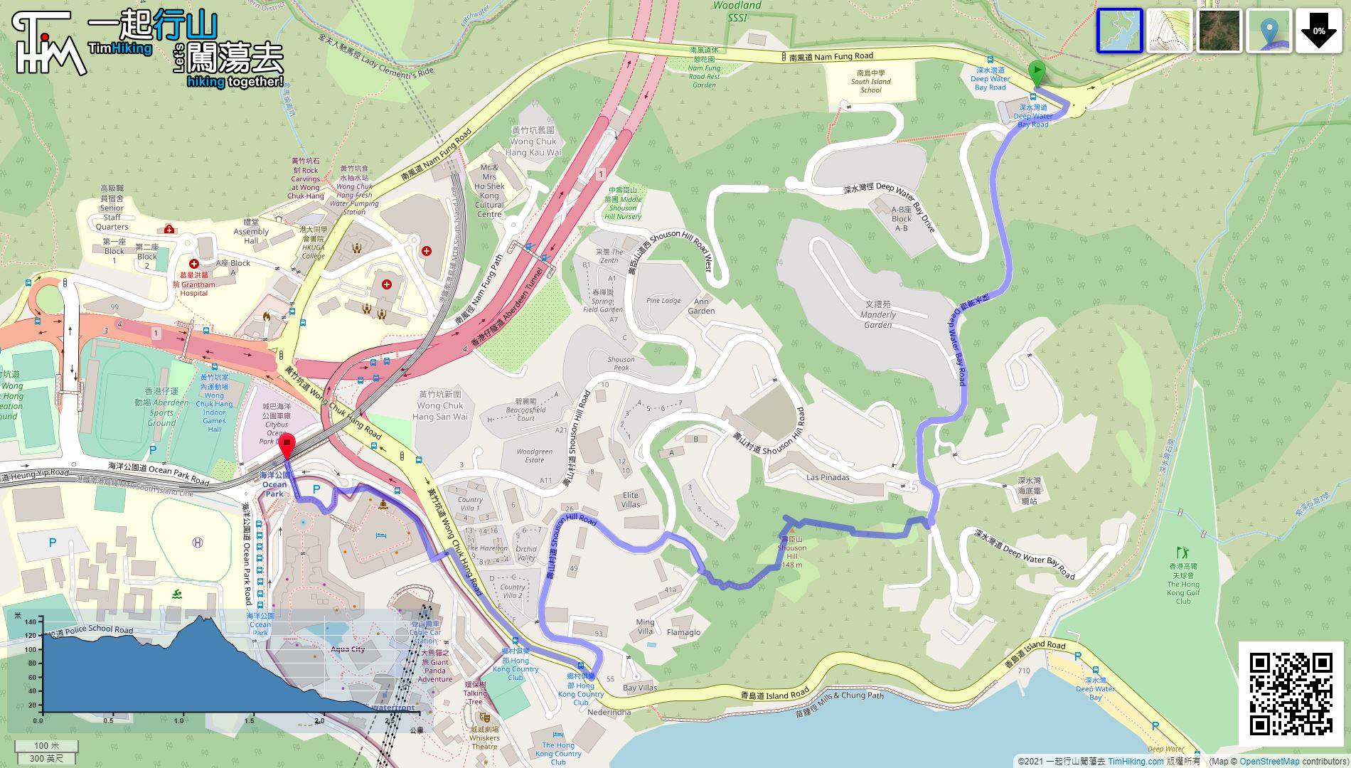
| View : |  | ||
| Difficulty : |  | ||
| Path : | |||
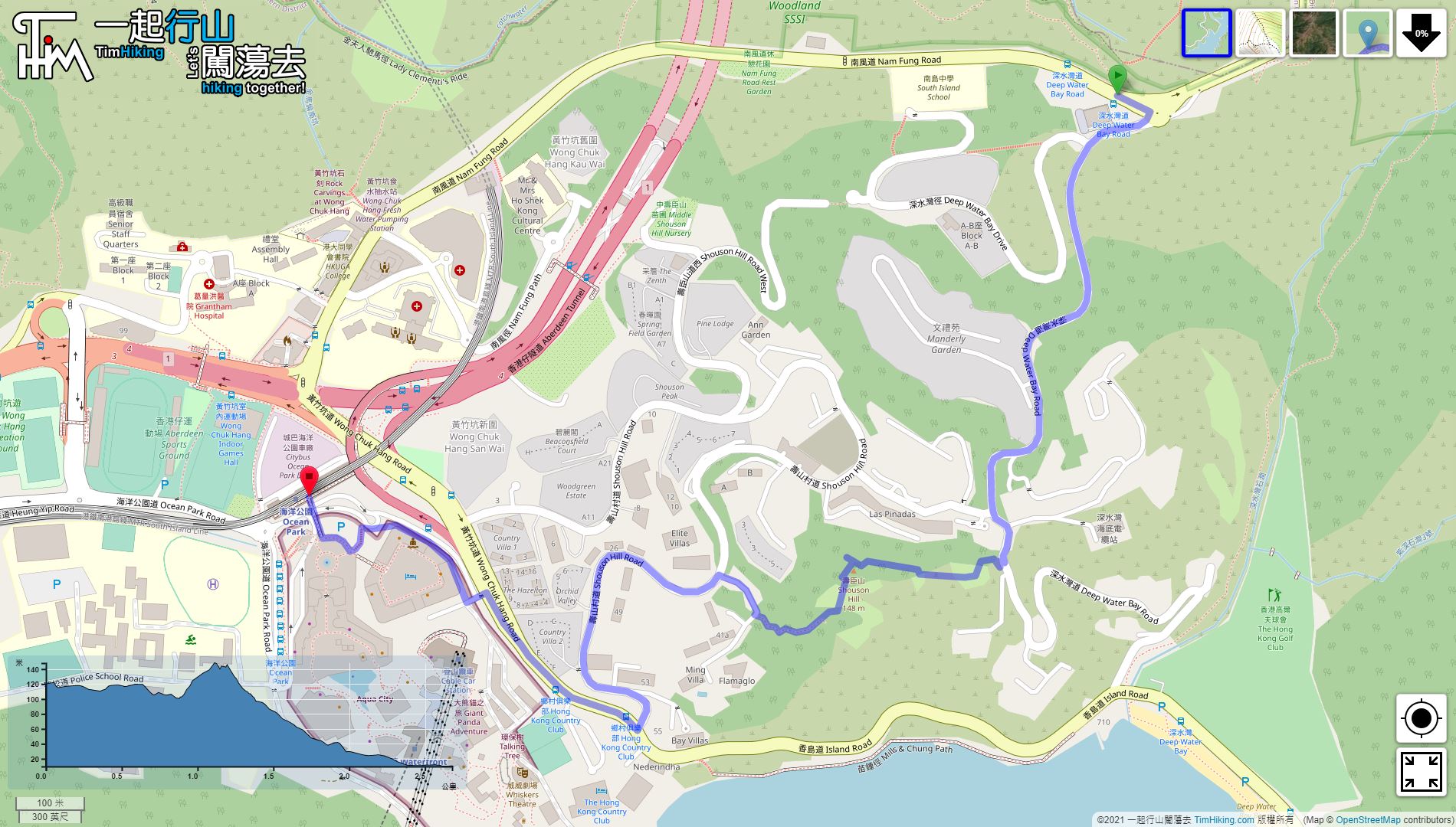
| Length : | 2.7km | ||
| Time : | 1½hours | ||
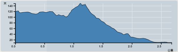 | |
| Ascent : 75m | Descent : 195m |
| Max : 125m | Min : 10m |
| (The accuracy of elevation is +/-30m) | |


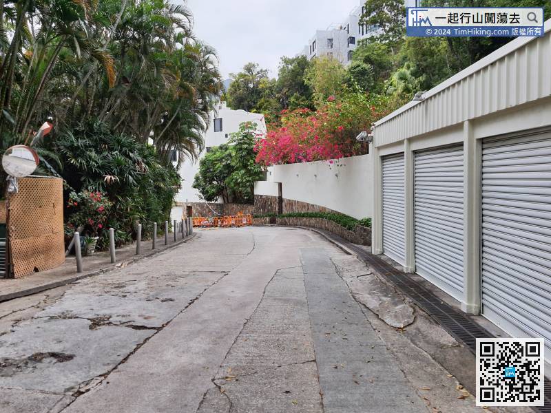
 9︰on your right Next to the 'Reduce Speed Now' sign
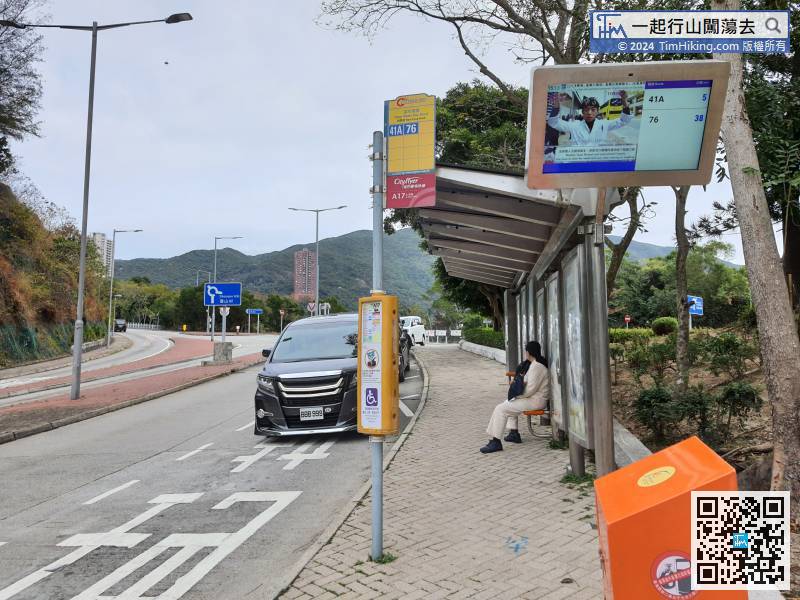 14︰and come to a big slab, will see a rope. Do not need to climb,
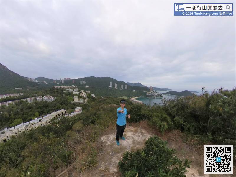
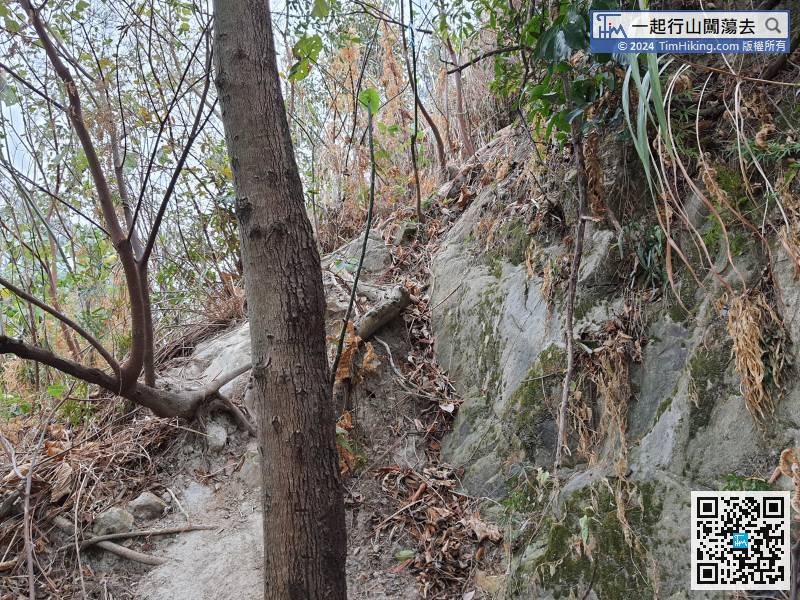 18︰The location of the trigonometrical station is not on the top of Shouson Hill,
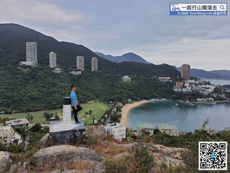 25︰because there is actually an obvious trail on the right.
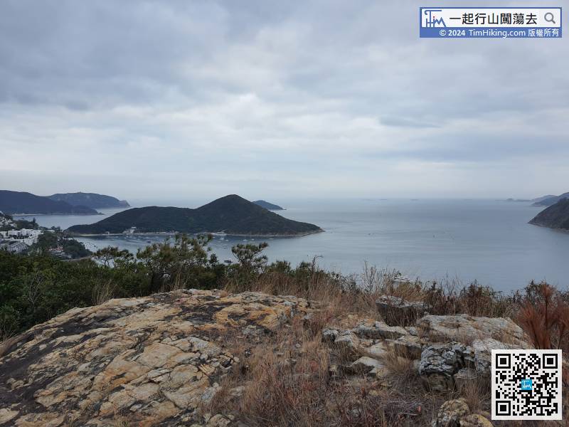
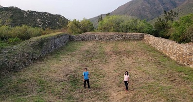
 36︰After studying the ruins, walk left to the other end,


