


 Recommend YouTube


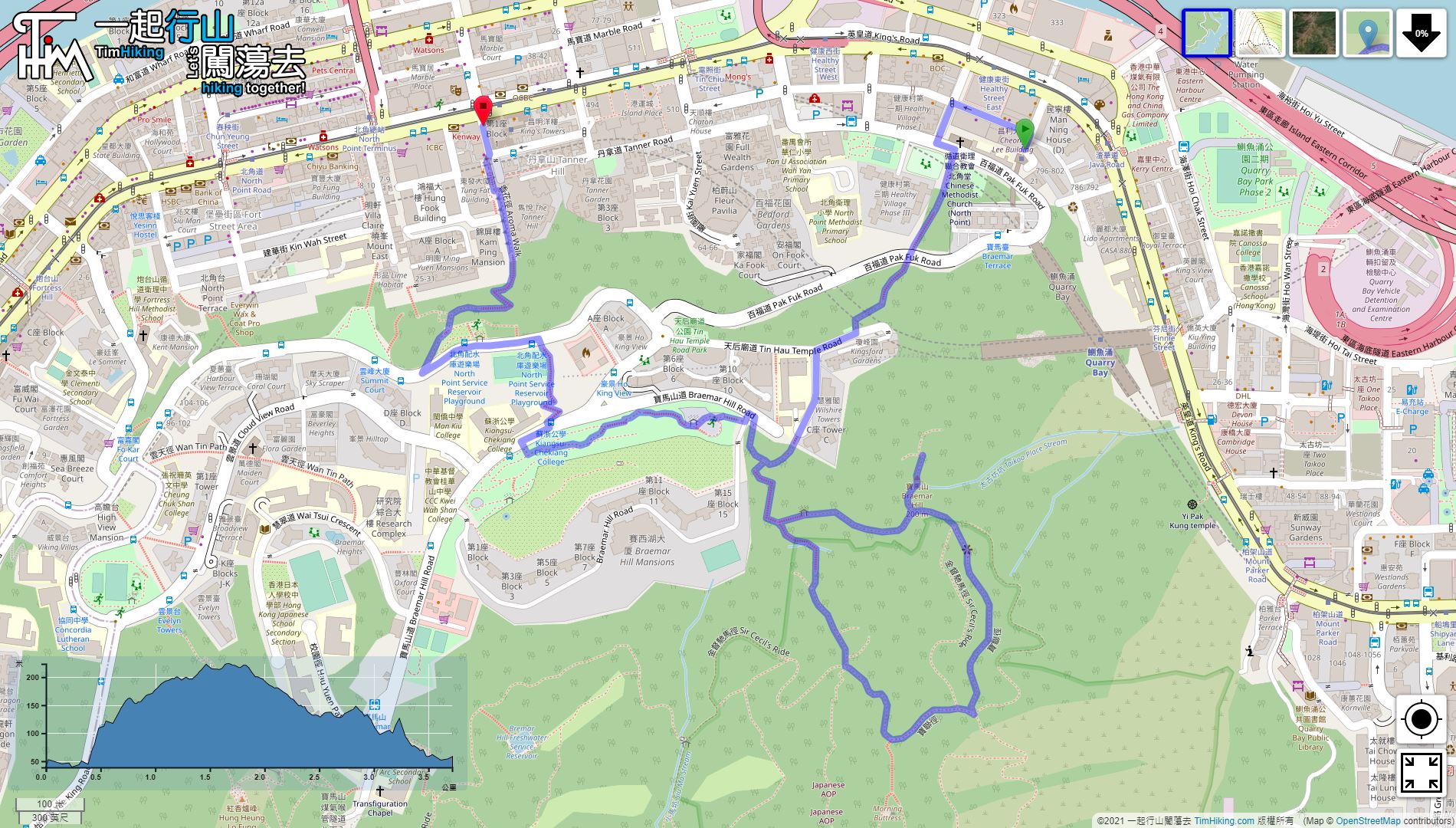

| View : |  | ||
| Difficulty : |  | ||
| Path : | |||
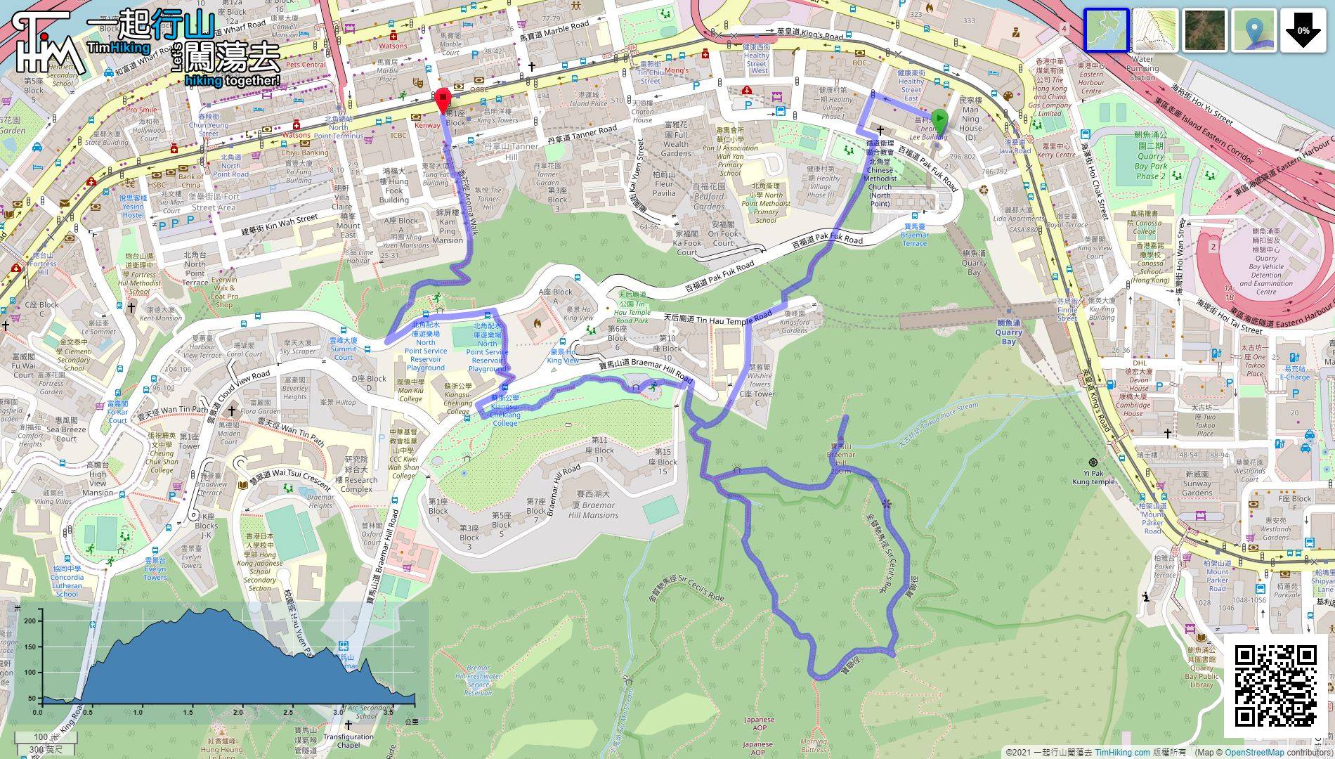
| Length : | 3.8km | ||
| Time : | 1½hours | ||
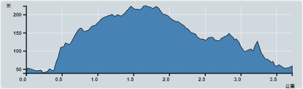 | |
| Ascent : 305m | Descent : 282m |
| Max : 219m | Min : 37m |
| (The accuracy of elevation is +/-30m) | |


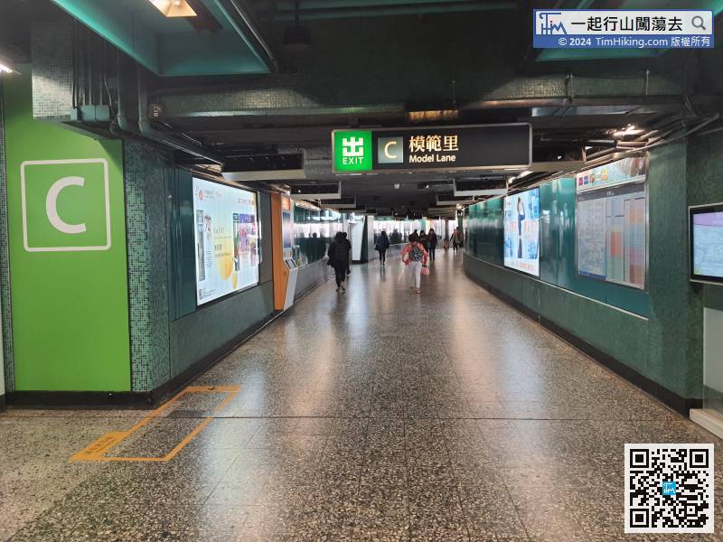
The starting point is in Quarry Bay. First, leave at the Quarry Bay Station Exit C Model Lane,
 17︰Go along Po Luen Path to the end, and will see a wide stairway.
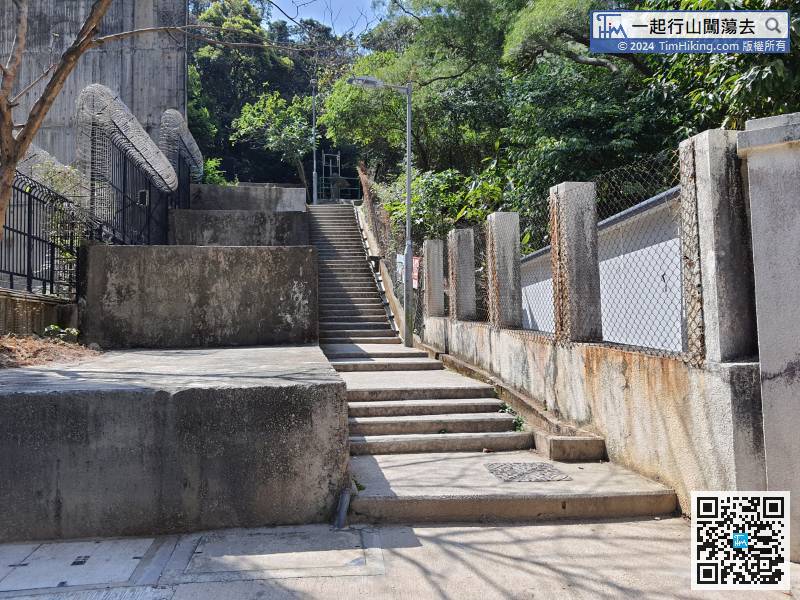 32︰Follow the map route and turn left at the second more obvious fork.
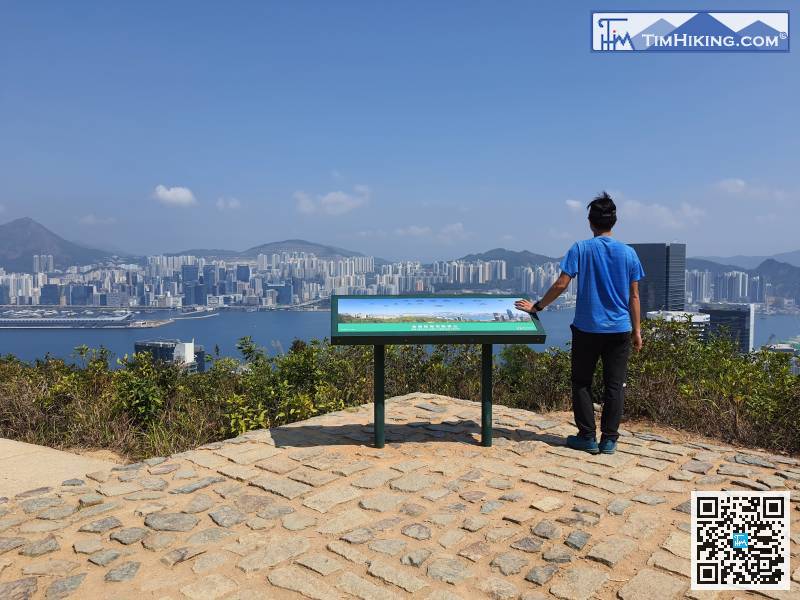
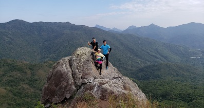
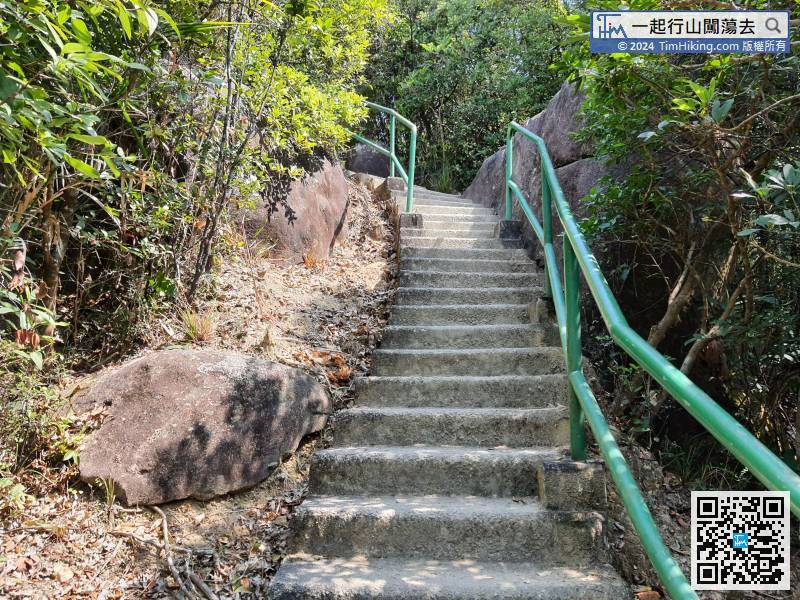 41︰The stairs on the right-hand side are going up to Sir Cecil's Ride Viewing Point.
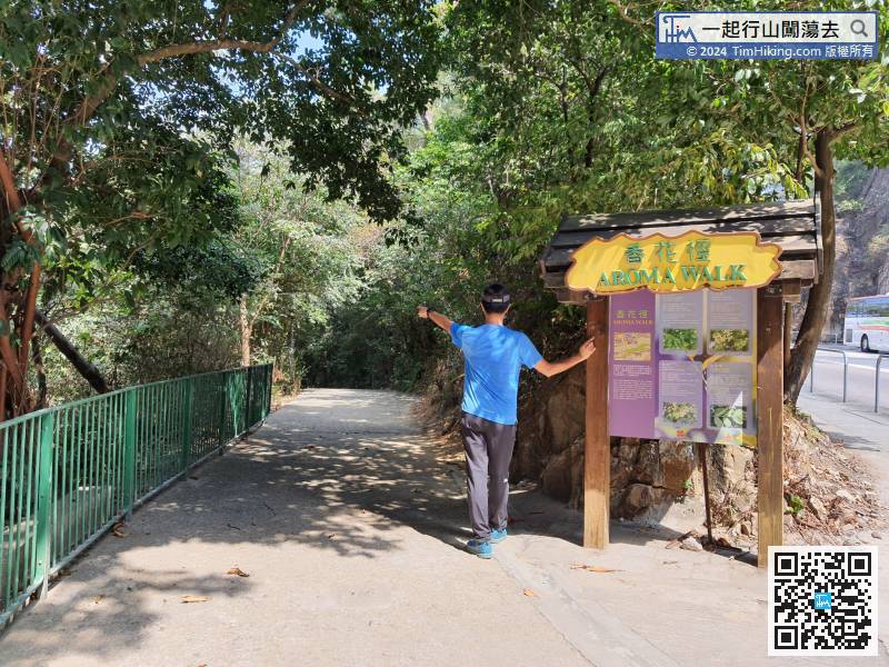
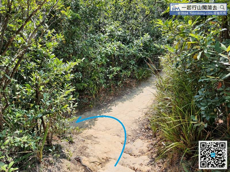 53︰The trail is flat and easy to walk.
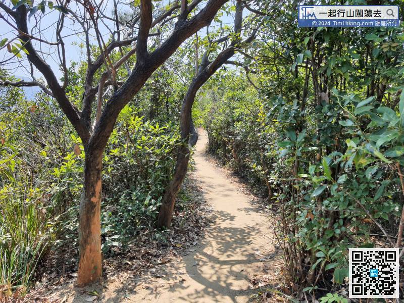 70︰On the left-hand side, will see the entrance of Choi Sai Woo Park.
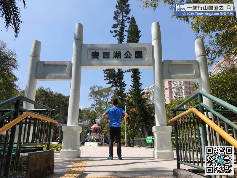
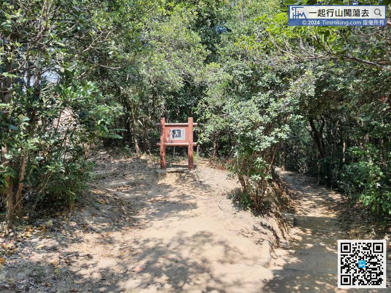 71︰Walk up the steps of the park and enter Choi Sai Woo Park. There is a large archway at the entrance.
Walk up the steps of the park and enter Choi Sai Woo Park. There is a large archway at the entrance.
84︰and then skip all entrance of the Tin Hau Temple Road Gardens,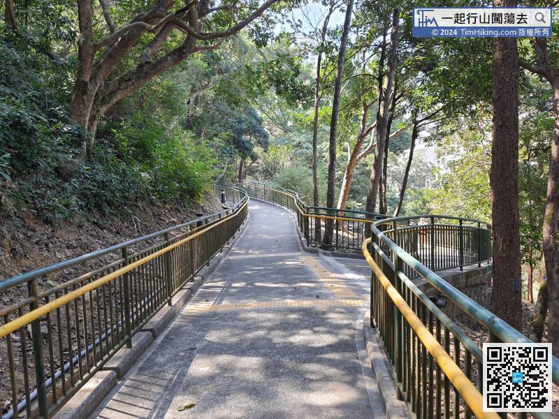 89︰the left way is an alley, and the right way is to North Point Station.
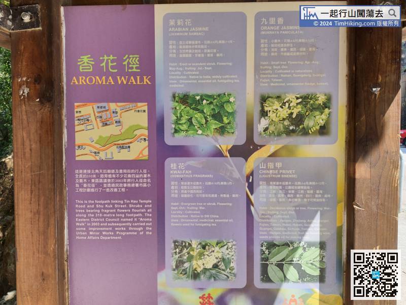


