


 Recommend YouTube


| View : |  | ||
| Difficulty : |  | ||
| Path : | |||
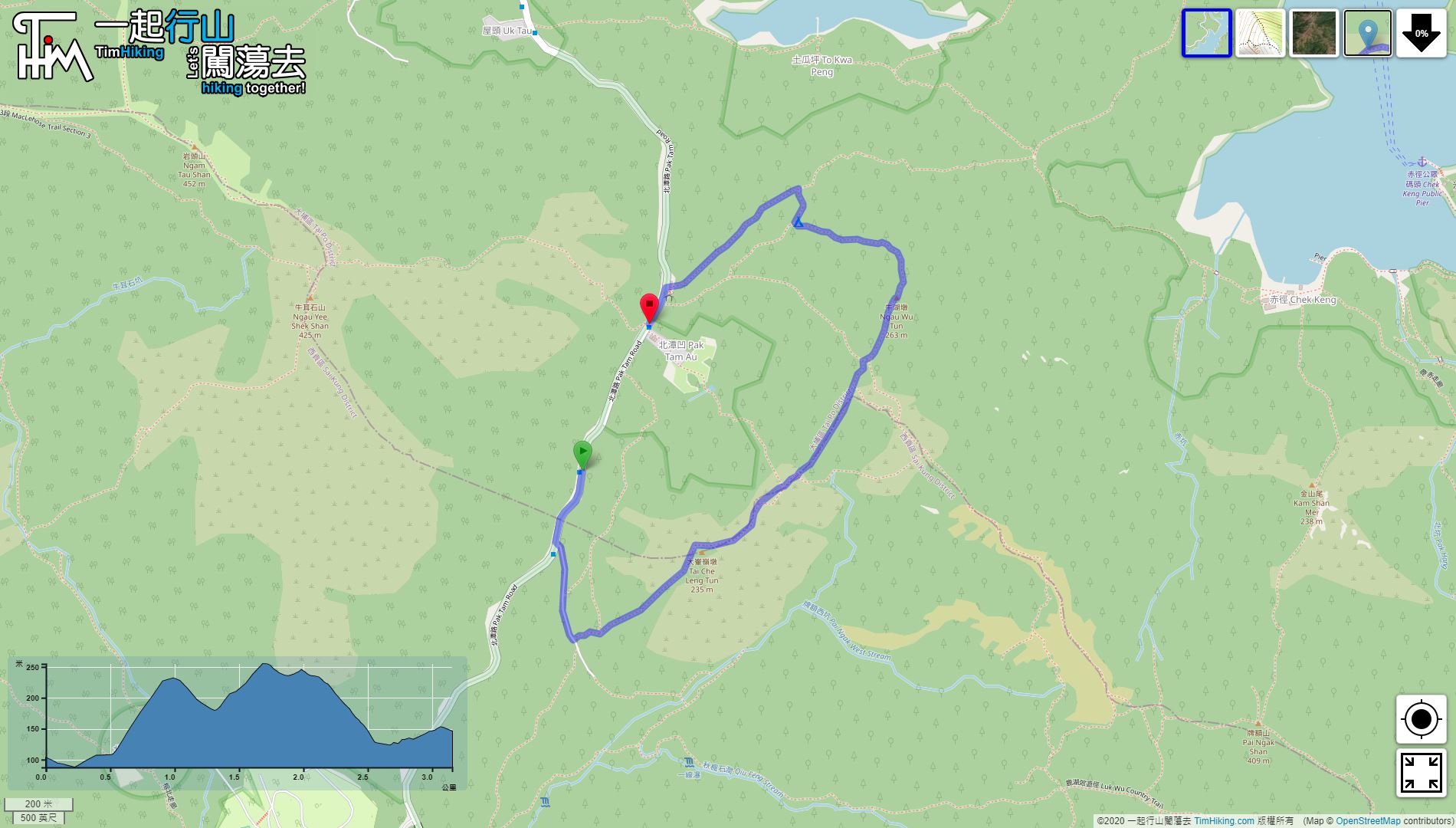
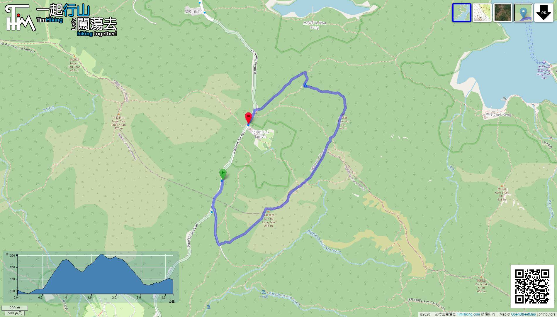
| Length : | 3.1km | ||
| Time : | 2hours | ||
 | |
| Ascent : 253m | Descent : 214m |
| Max : 255m | Min : 87m |
| (The accuracy of elevation is +/-30m) | |


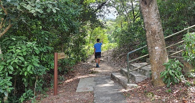
 6︰After passing the Management Centre, will find the Pak Tam Country Trail.
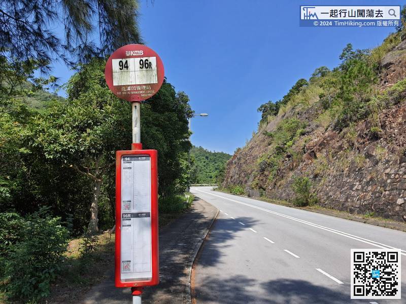 14︰The trail is completely visible
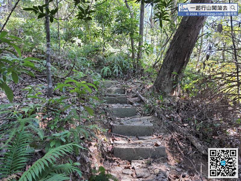
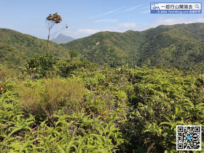
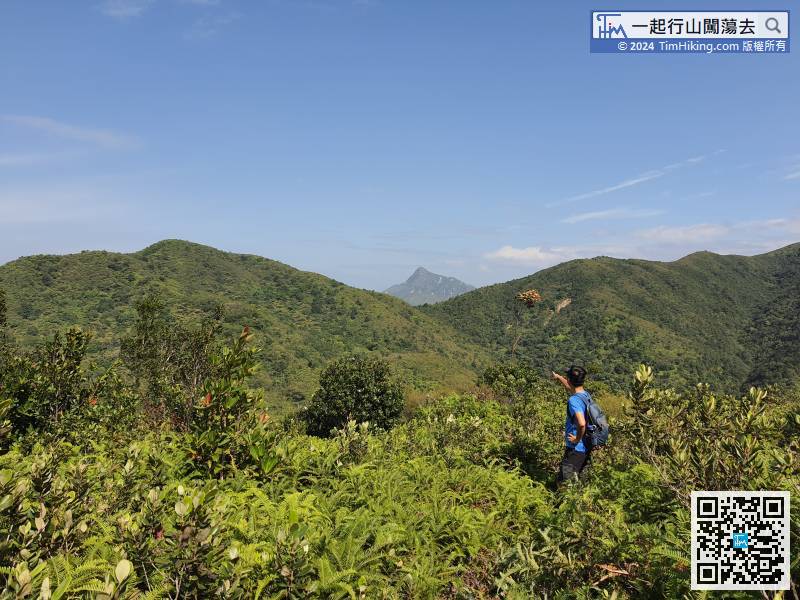
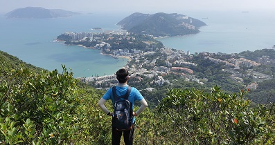
Along the barren trail at the other end, it starts to fall, the direction is mainly to look at Sharp Peak. If walking in the reverse direction, must be in the wrong way.
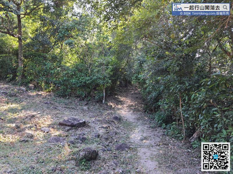
28︰After escape from the lost trail, keep to the right at the bifurcation, the left way is the barren trail to Pak Tam Au.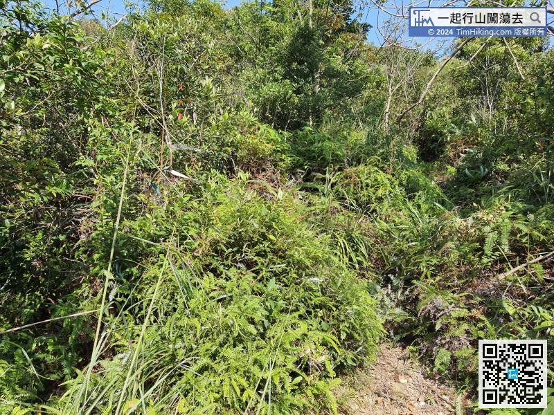
After escape from the lost trail, keep to the right at the bifurcation, the left way is the barren trail to Pak Tam Au.
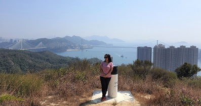
40︰Ngau Wu Tun has a nice view, it is a good place to overlook Sharp Peak.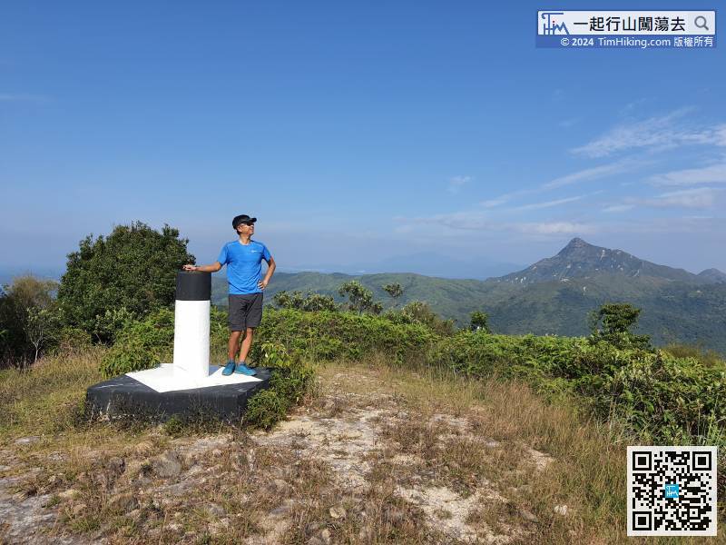
Ngau Wu Tun has a nice view, it is a good place to overlook Sharp Peak.


