


 Recommend YouTube


| View : |  | ||
| Difficulty : |  | ||
| Path : | |||
| Length : | 8.3km | ||
| Time : | 3½hours | ||
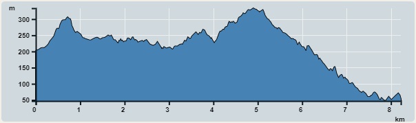 | |
| Ascent : 557m | Descent : 702m |
| Max : 334m | Min : 47m |
| (The accuracy of elevation is +/-30m) | |


 14︰which is the entrance of P8 Trail.
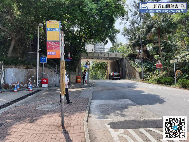
Starting from Wong Nai Chung Gap, you can take bus 6 from Central or bus 41A at North Point, and get off at Wong Nai Chung Gap Reservoir Park. After getting off, it is beside a petrol station.
19︰Go straight at the fork,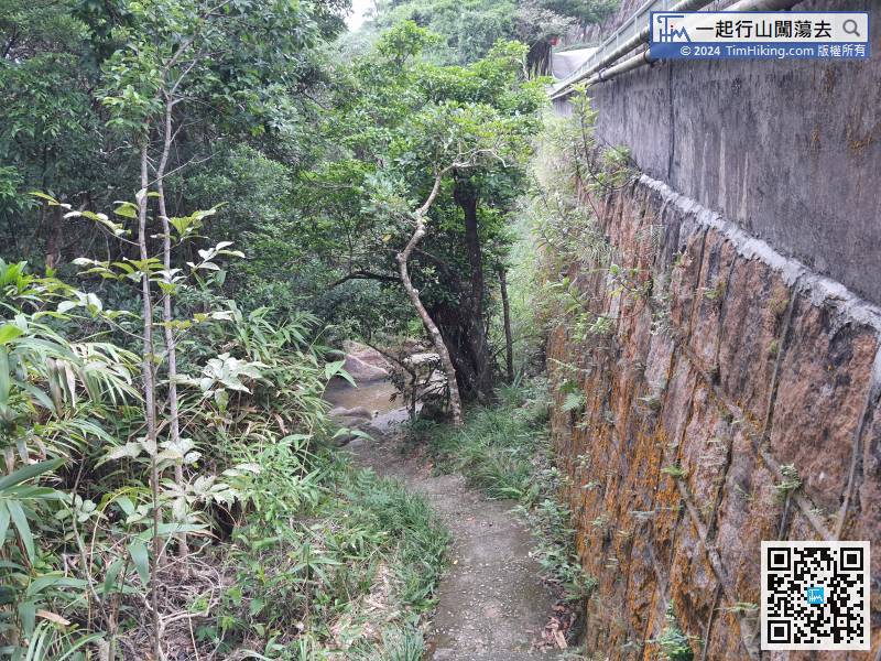
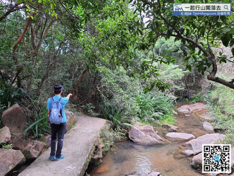
After entering the P8 Trail, there is a retaining wall on the right,
31︰Tai Tam Upper Reservoir will appear in front slowly, 47︰follow the ribbon again, then turn left
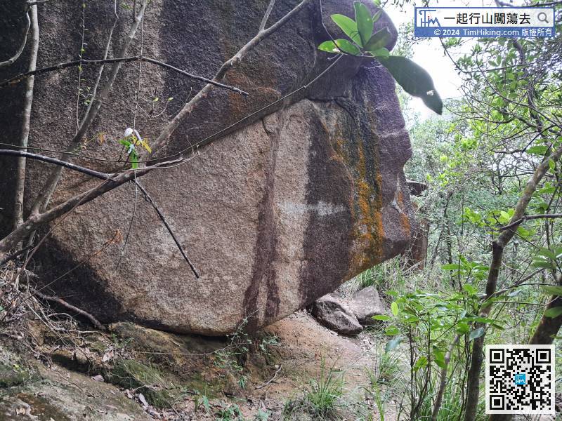 71︰Hikers will see the P8 sign in the reverse direction,
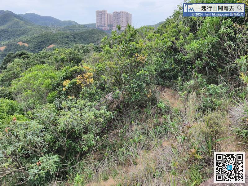
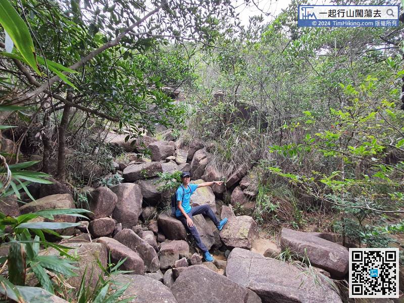
After a rest, leave from the trail on the right,
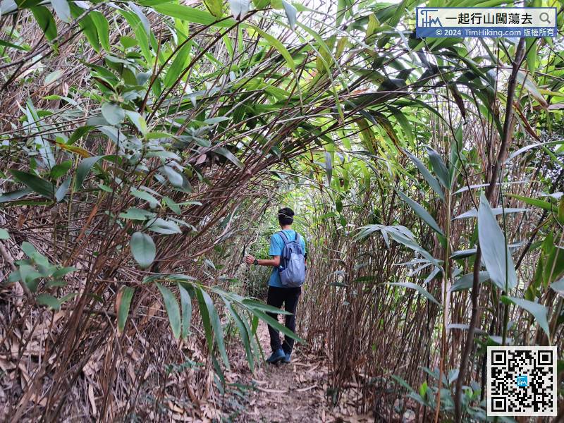
82︰but keep to the left and continue to fall at the big fork.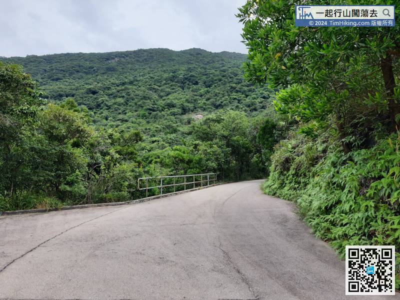
This route will leave via Quarry Gap, so turn left and go up the concrete slope.


