


 Recommend YouTube

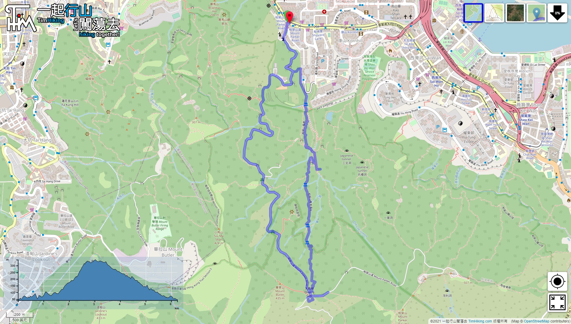

| View : |  | ||
| Difficulty : |  | ||
| Path : | |||
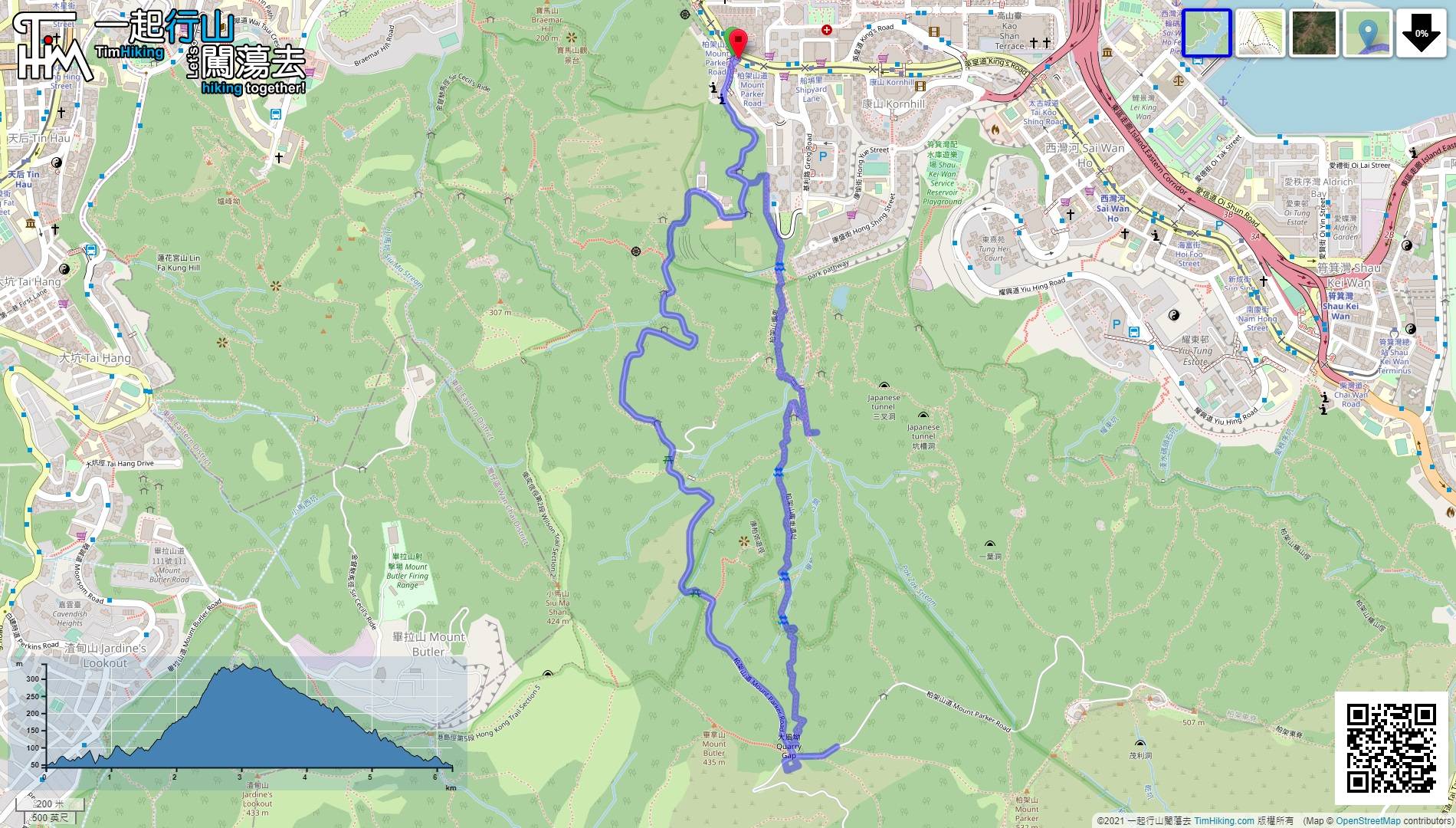
| Length : | 6.2km | ||
| Time : | 4½hours | ||
 | |
| Ascent : 559m | Descent : 541m |
| Max : 343m | Min : 42m |
| (The accuracy of elevation is +/-30m) | |


 6︰and a maintenance slope step next to it.
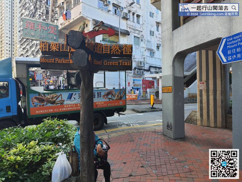
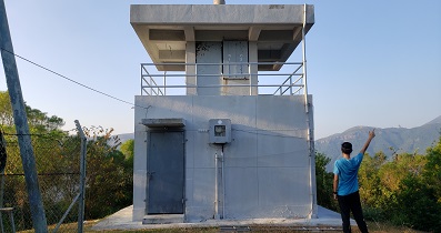
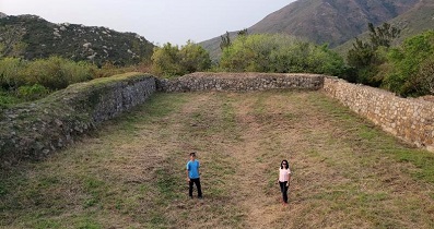
The starting point is at Mount Parker Road, instead of the Quarry Bay Reservoir Garden in the public. The advantage is that there is no need to go back to the Sluice Control Device, which can shorten the rugged road and reduce the nuisance to the resident.
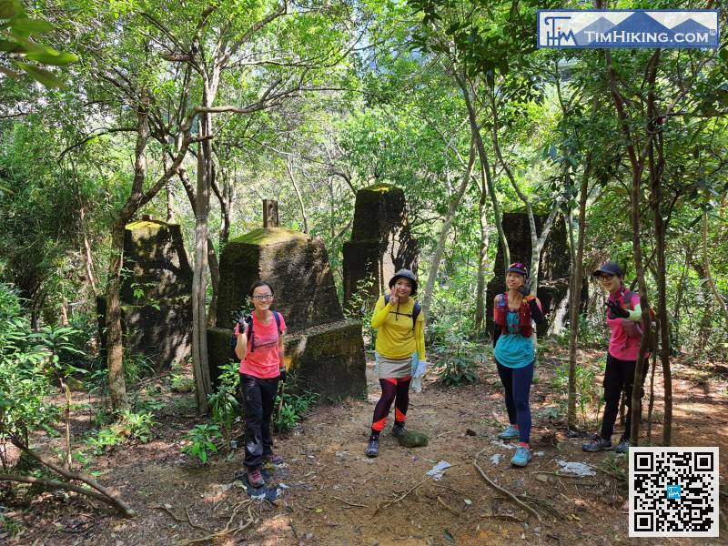
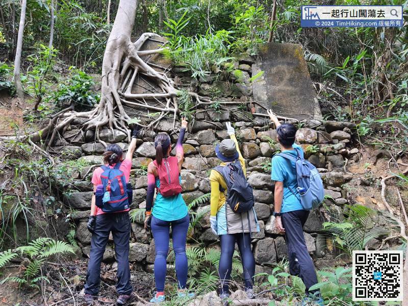
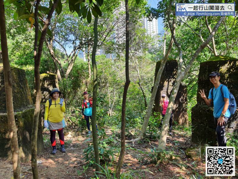
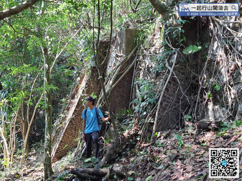
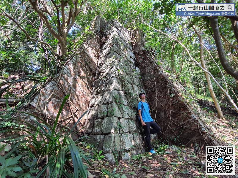
18︰soon will see the first stone foundation of steel pylon, named Bridge-Aside Stone Bases, there are two stone bases.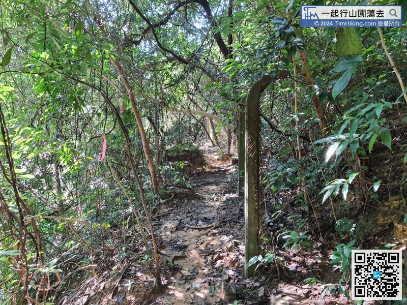 40︰there are four stone bases, two tall and two short.
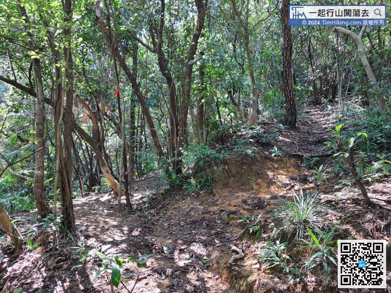
When coming to a bifurcation, must keep to the left. If keeping to the right, will be connected to the Quarry Bay Tree Walk.
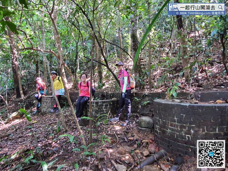
49︰Next to it, will see the seventh stone foundation of steel pylon, called Military-Toilet Stone Bases, there are two stone bases.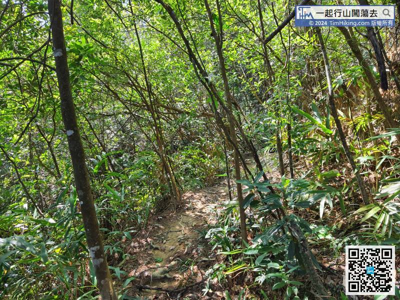 66︰Hikers will see two rows of stoves. According to the information, they have never been used because no longer be guarded.
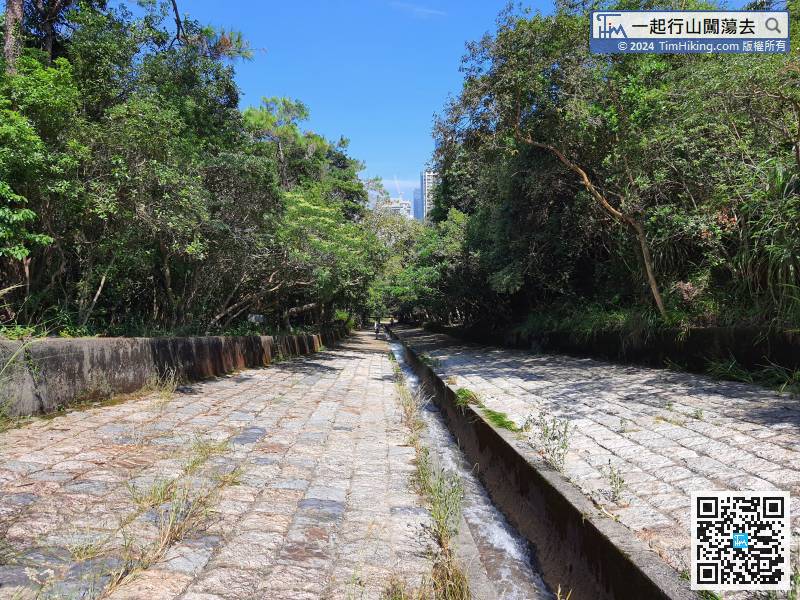
After visiting the Rifle Range, return to the War-Time Cooking Ranges
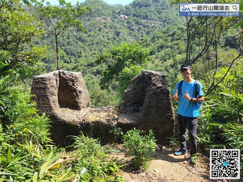
82︰Once reaching the top of the step, will see the eleventh stone foundation of steel pylon, called Saddle Stone Bases, it is 2 stone bases in one. 99︰come to the fifteenth stone foundation of steel pylon, called Stream Stone Bases, there are two stone bases.
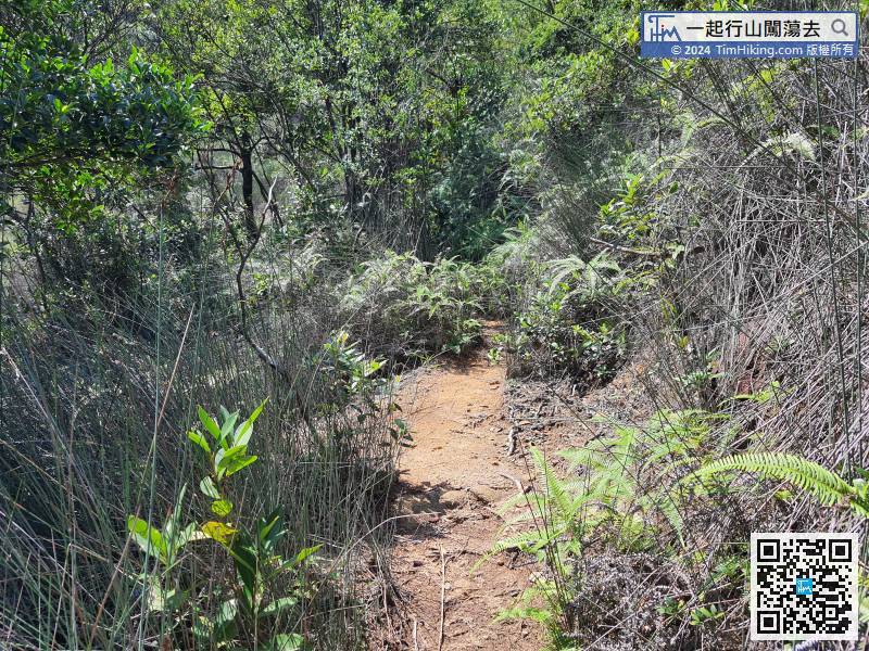 104︰Soon, will see the sixteenth stone foundation of steel pylon, called Korn-Park Four Stone Bases, there are four stone bases.
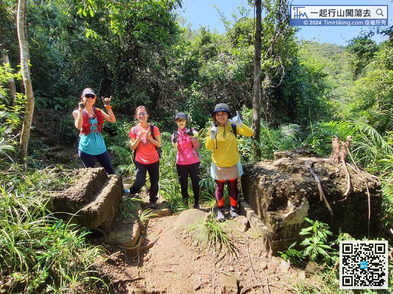
Soon, will see the sixteenth stone foundation of steel pylon, called Korn-Park Four Stone Bases, there are four stone bases.
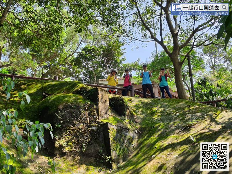
120︰In an instant, will see several semi-circular facilities. According to the research team, this is suspected to be the sewage treatment system of Taikoo Sanitarium.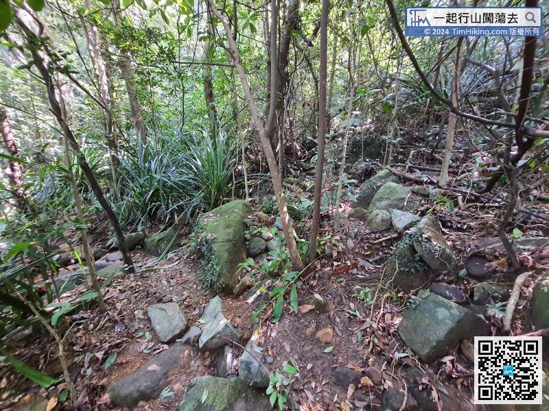
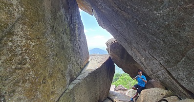
At this time, keep to the left for a short walk, as walking in the jungle.
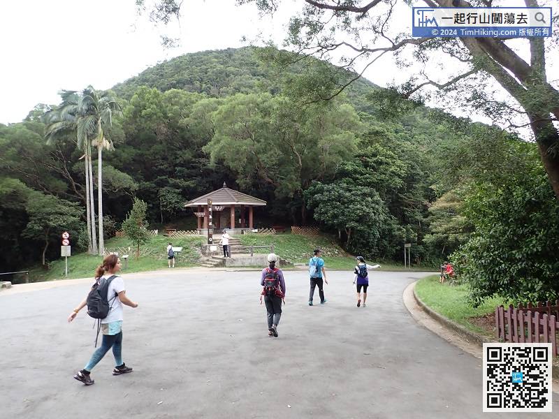
After visiting all the remnants in Quarry Gap, follow Mount Parker Road down the mountain.


