


 Recommend YouTube


| View : |  | ||
| Difficulty : |  | ||
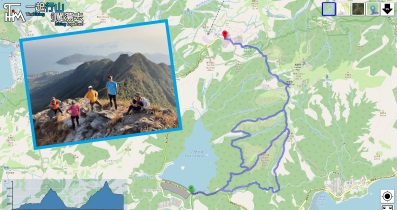
| Path : | |||
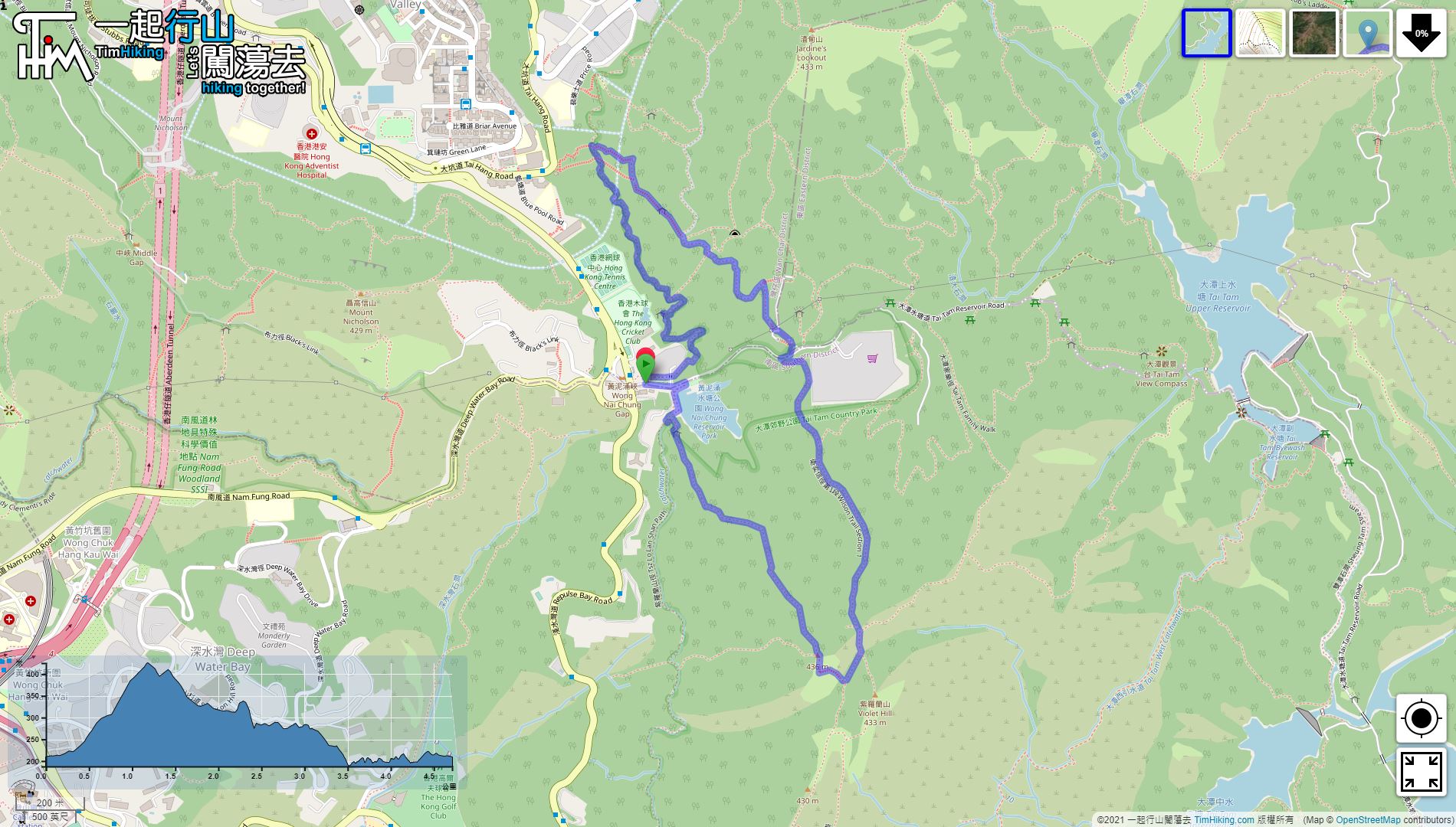
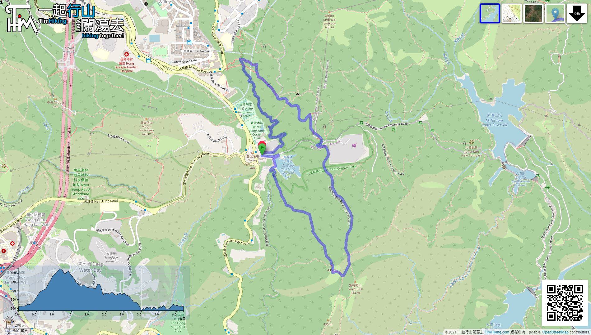
| Length : | 4.8km | ||
| Time : | 2½hours | ||
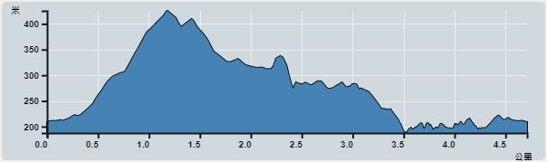 | |
| Ascent : 437m | Descent : 437m |
| Max : 425m | Min : 188m |
| (The accuracy of elevation is +/-30m) | |


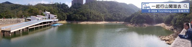
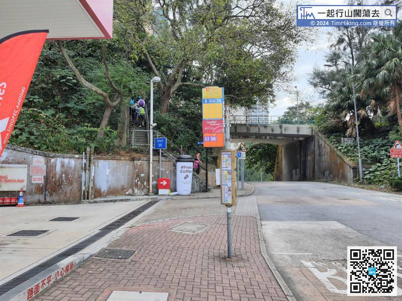
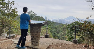
 8︰The starting point is Wong Nai Chung Reservoir.
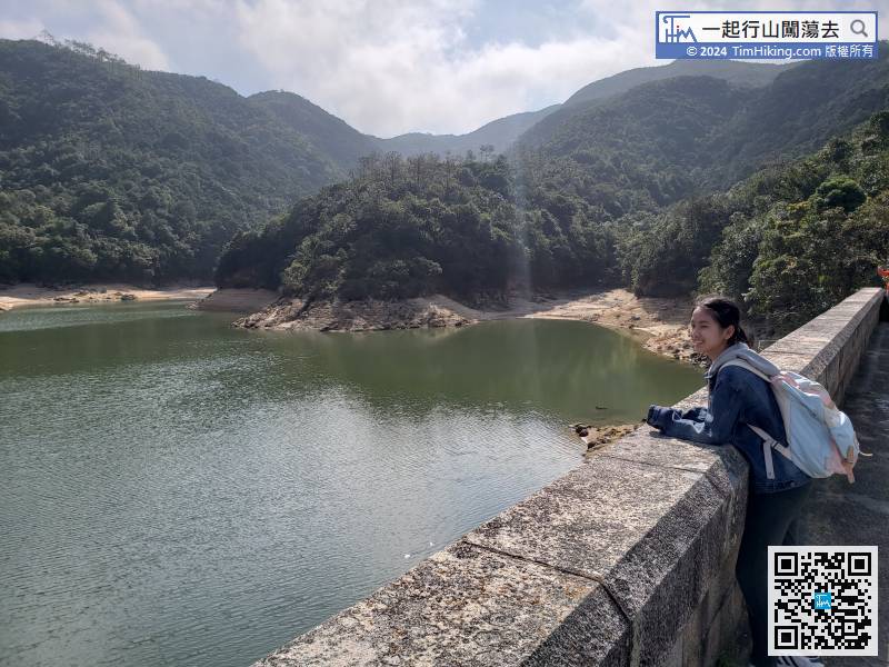
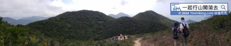
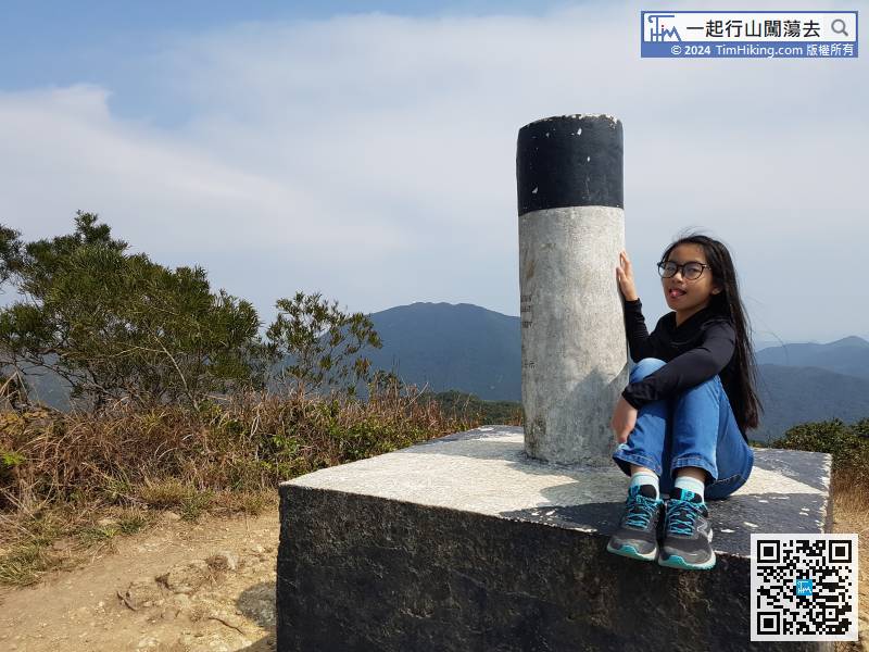
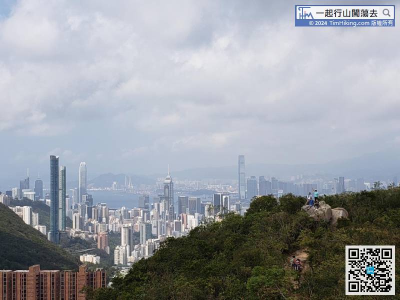
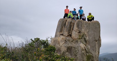
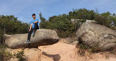
After a while, come to the Violet Hill West. There is a trigonometrical station on the top of the hill.
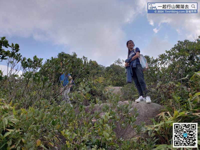
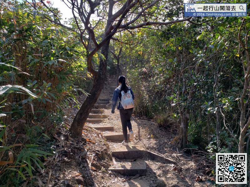
This section is also section 1 of Wilson Trail. There are a lot of big rocks beside the road,
48︰This section is also the Wong Nai Chung Gap Trail and will pass many wartime relics.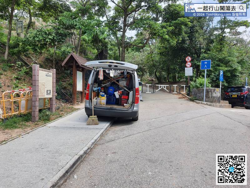
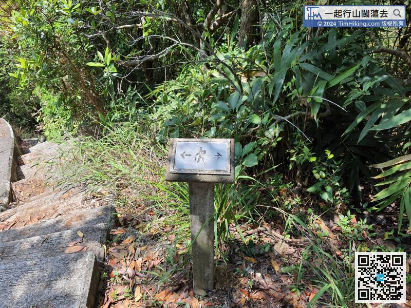
Walk to the gate of the opposite car park, will connect to another section of Tai Tam Country Trail,
58︰and will see pillbox JLO2 on the right,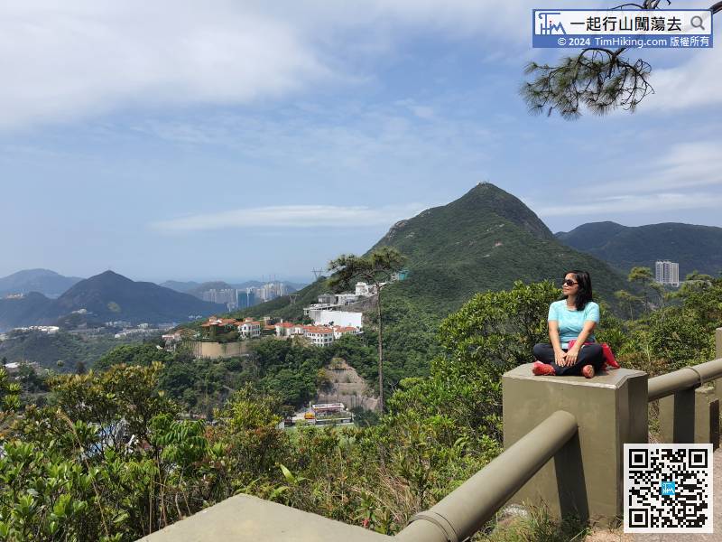
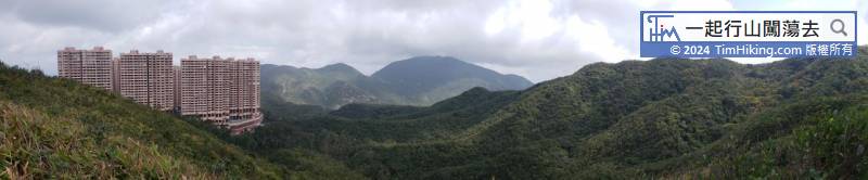
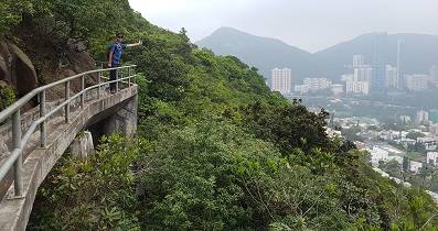
There is a little bit open scenery in the middle of the catchwater, which can see Mount Nicholson.
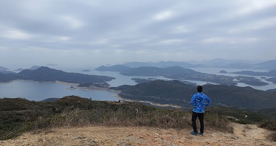
63︰The service reservoir is very large, but there are no special facilities. The scenery is very different from Violet Hill.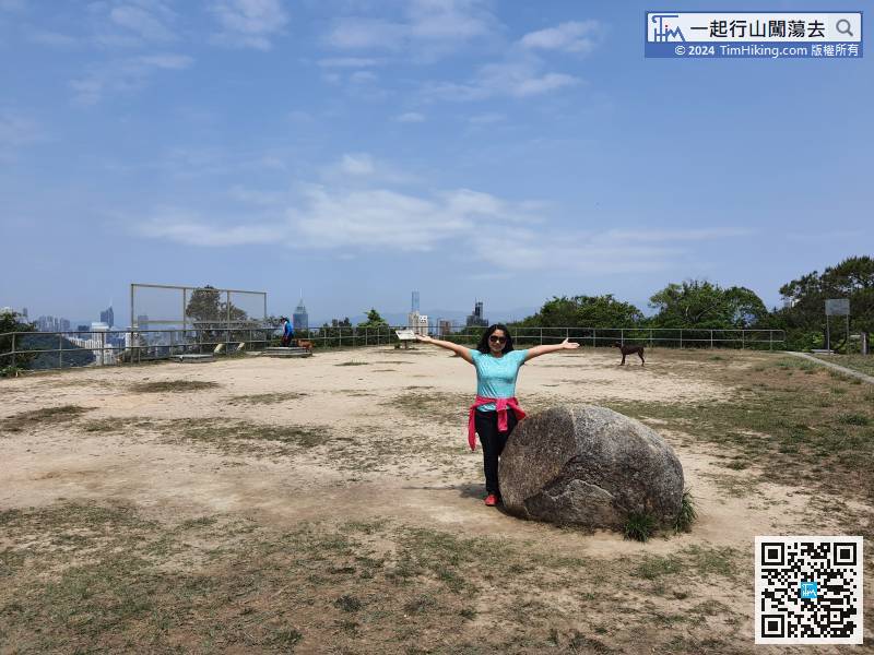
The service reservoir is very large, but there are no special facilities. The scenery is very different from Violet Hill.
 77︰There is a big pavilion near the end, and the next information plate is Sir Cecil's Ride.
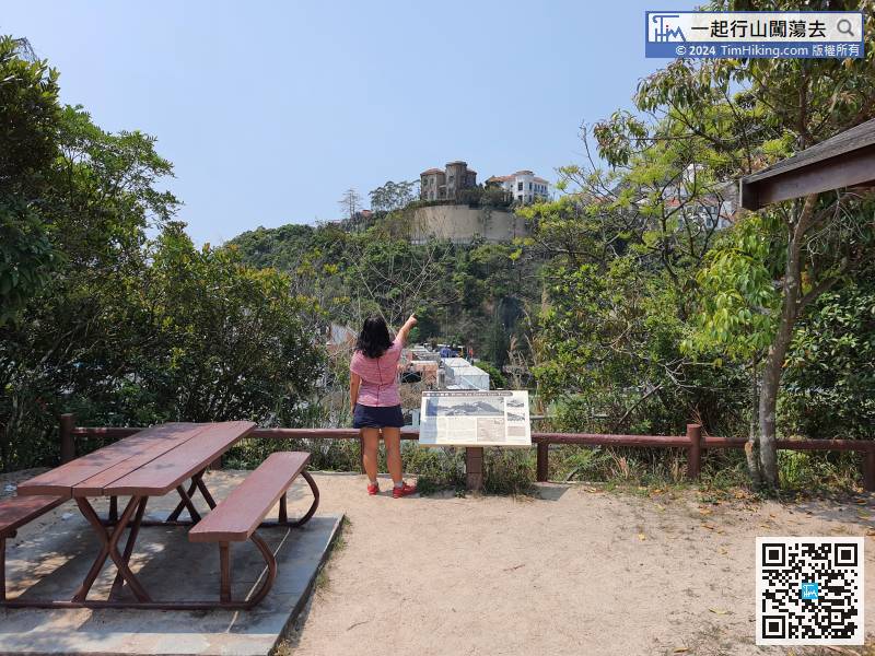
There is a big pavilion near the end, and the next information plate is Sir Cecil's Ride.


