


 YouTube 隨 機 推 介


| 景觀︰ |  | ||
| 難度︰ |  | ||
| 路線︰ | |||
| 全長︰ | 5.9公里 | 需時︰ | 3小時 |
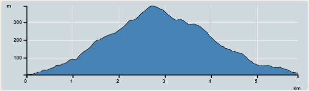 | |
| 攀升︰426米 | 下降︰416米 |
| 最高︰391米 | 最低︰5米 |
| (海拔高度值只供參考 誤差約是30米內) | |


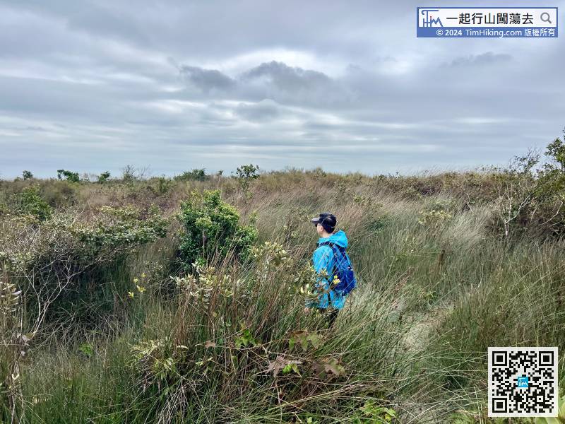
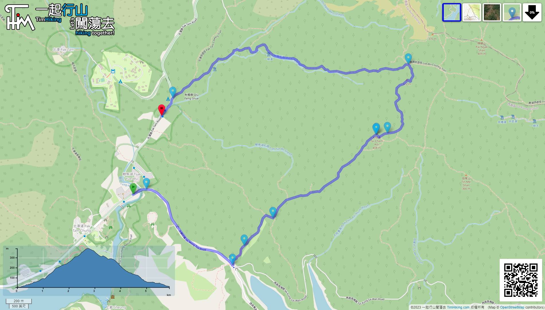
 10︰那就是登上大枕蓋的官方路線。
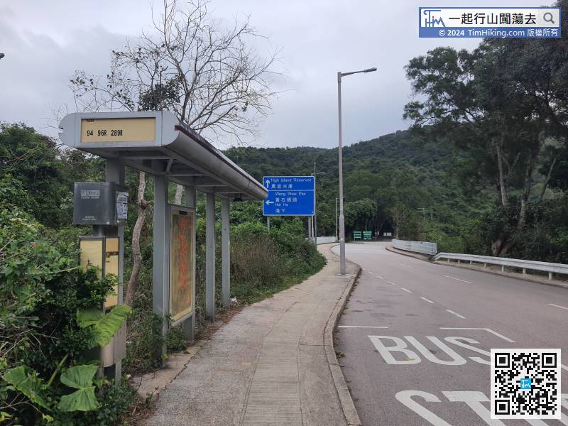 18︰大約上山15分鐘左右,左邊會發現一個分叉路口,
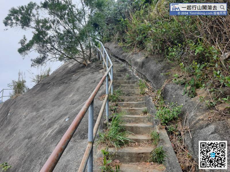
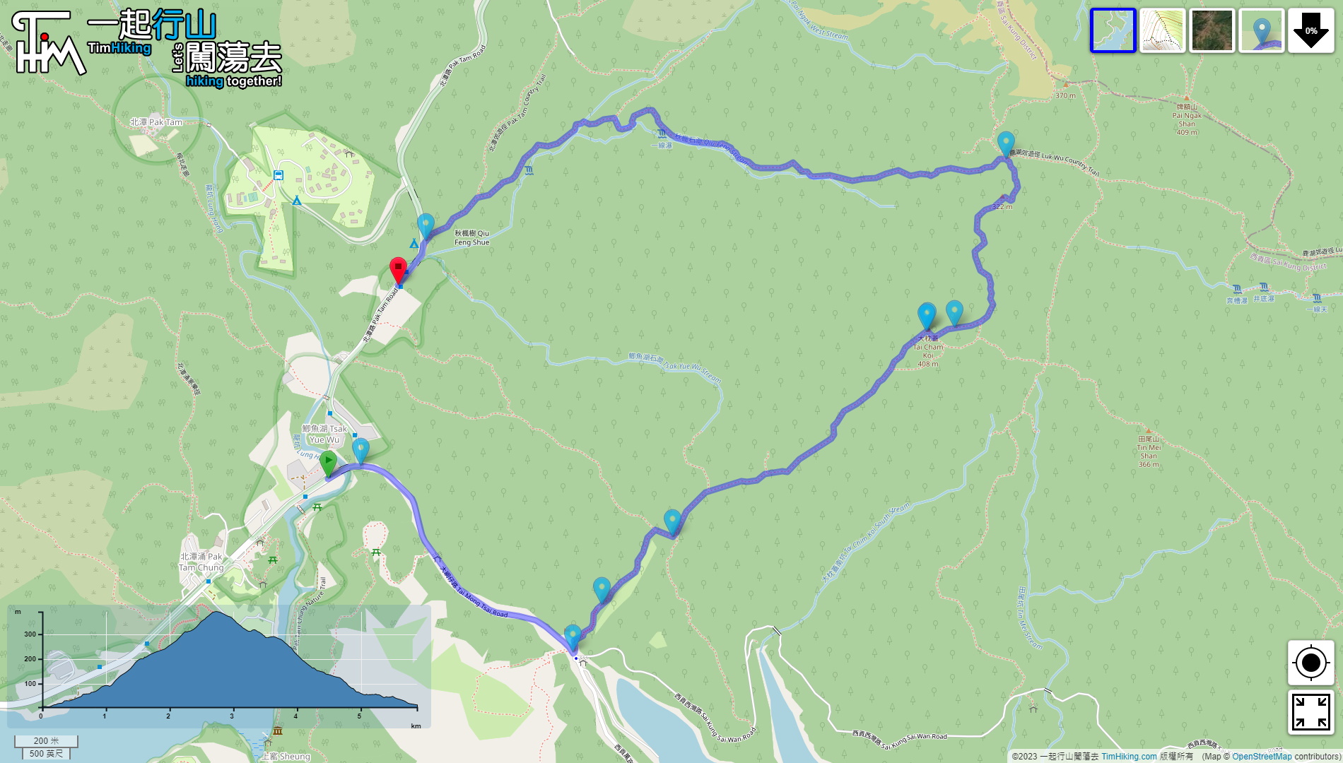
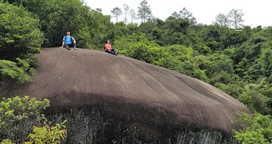
 33︰再行兩步,就來到一個新建的觀景台,正是舊標高柱的位置。
 43︰大枕蓋山頂有標高柱,
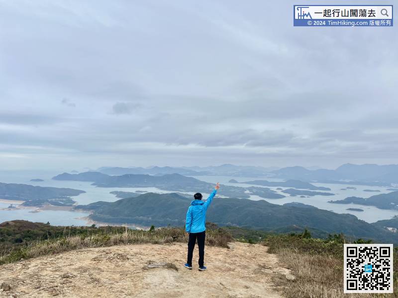
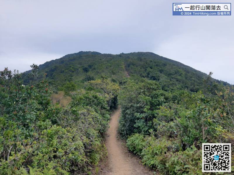
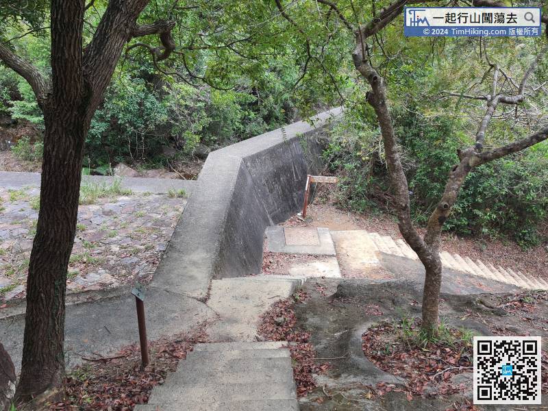
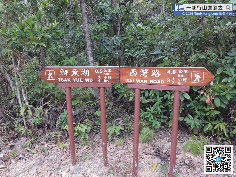
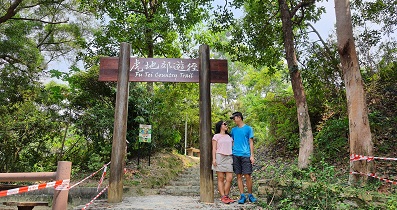
 63︰便接上鹿湖郊遊徑。
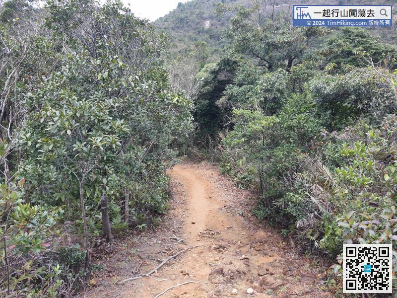

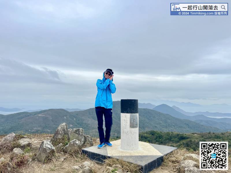
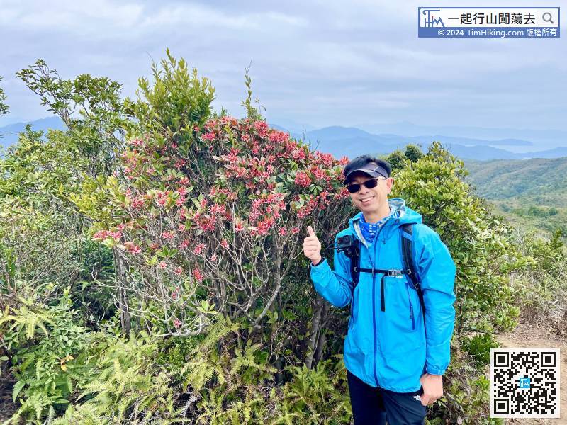
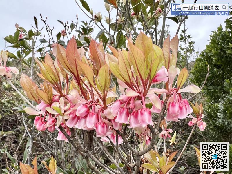
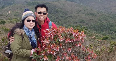
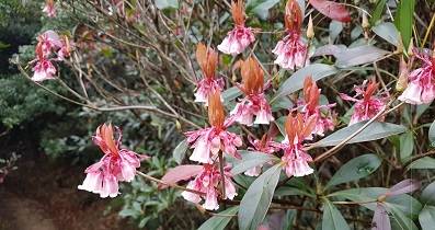
 大枕蓋 吊鐘花
| 景觀︰ | | ||
| 難度︰ | | ||
| 路線︰ | |||
| 全長︰ | 5.9公里 | 需時︰ | 3小時 |
| |
| 攀升︰426米 | 下降︰416米 |
| 最高︰391米 | 最低︰5米 |
| (海拔高度值只供參考 誤差約是30米內) | |
10︰那就是登上大枕蓋的官方路線。 18︰大約上山15分鐘左右,左邊會發現一個分叉路口, 33︰再行兩步,就來到一個新建的觀景台,正是舊標高柱的位置。 43︰大枕蓋山頂有標高柱, 63︰便接上鹿湖郊遊徑。
| Markk : |  昨天從螺地墩行過來,本來想行田尾山但朋友想玩雙鹿石澗,便沿郊遊徑行。從大枕蓋睇日落也不錯。 (2024-01-08) |
好靚的夕陽😀 (Tim Sir 2024-01-11) |
| Rin1975 : | 今日天清氣朗,好涼快,由大枕蓋路牌至鹿湖郊遊徑出口不見一人,好像我們倆人佔據了整坐大枕蓋,非常好行,謝謝Tim Sir 介紹. (2023-10-17) |
現在好少人行山,基本上往來的人,一隻手都數得完。 (Tim Sir 2023-10-17) |
| ConnieT : | Tim sir, 請問在你上那邊改為落山會唔會好斜? (2022-02-09) |
斜是有少少的,但大部份都是木樁梯級。 (Tim Sir 2022-02-10) |
| Nerissa : |  多謝Tim Sir路線介紹!難得今日有陽光,吊鐘花特別靚! (2022-02-04) |
有陽光特別正!😍 (Tim Sir 2022-02-05) |


