


 Recommend YouTube


| View : |  | ||
| Difficulty : |  | ||
| Path : | |||
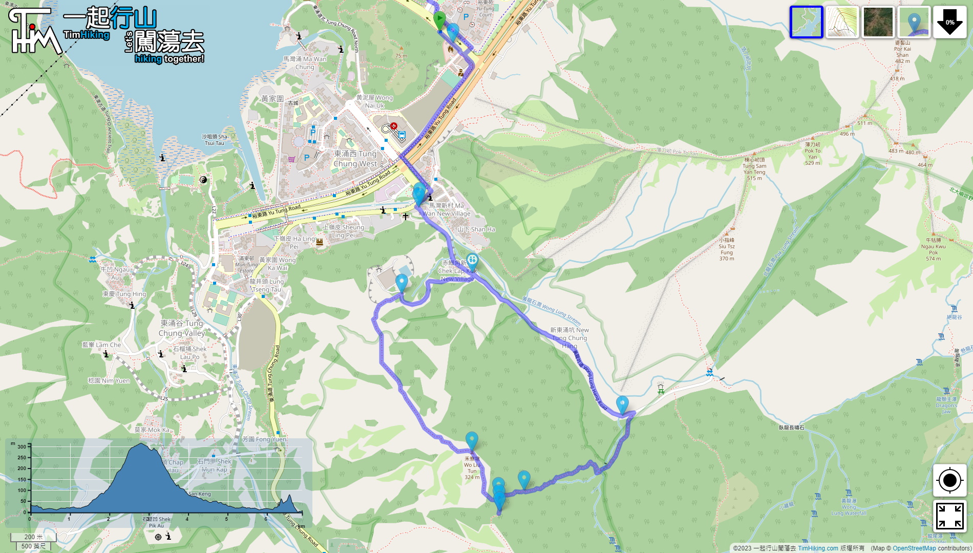
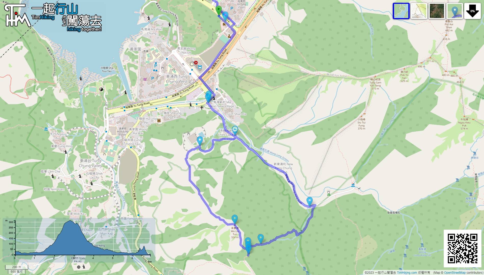
| Length : | 6.9km | ||
| Time : | 3½hours | ||
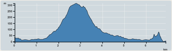 | |
| Ascent : 499m | Descent : 508m |
| Max : 314m | Min : 0m |
| (The accuracy of elevation is +/-30m) | |


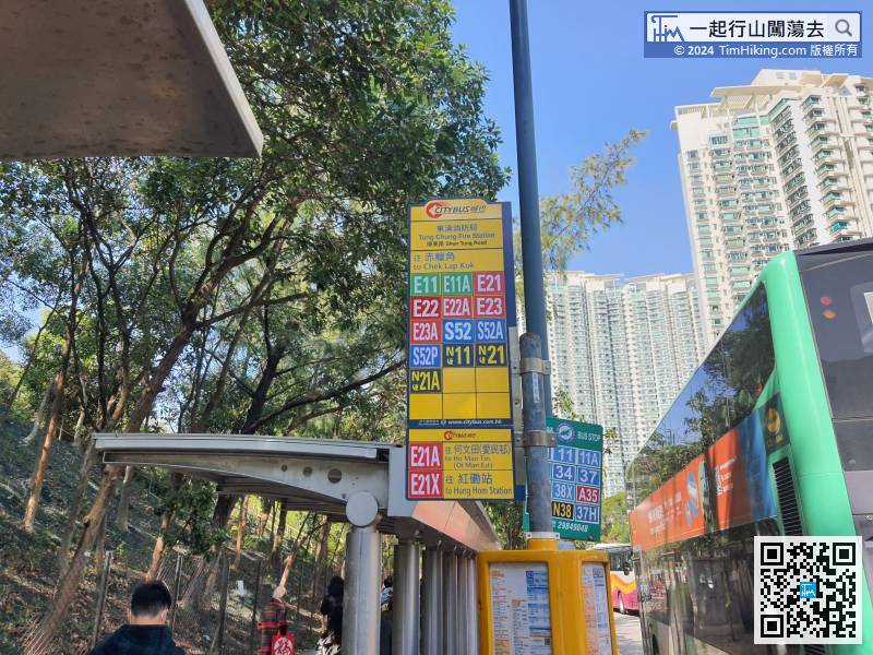
 18︰and there is a gate on the right,

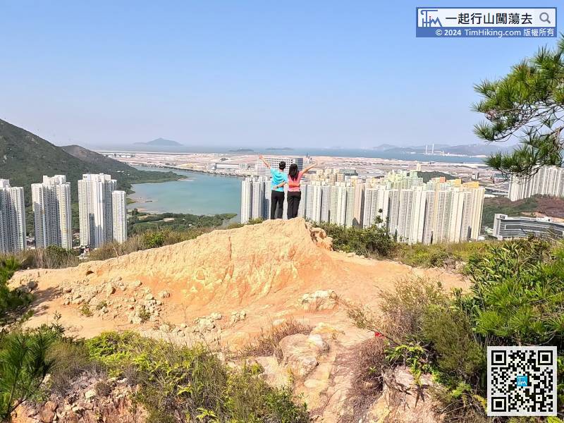
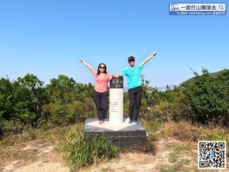
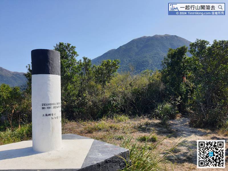
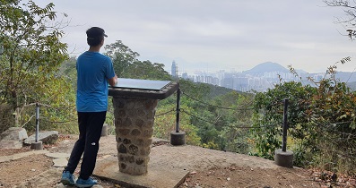
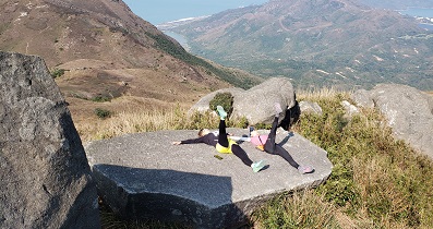
Come to a rugged place, like a Viewing Point, can overlook Tung Chung and the airport.
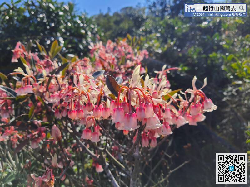
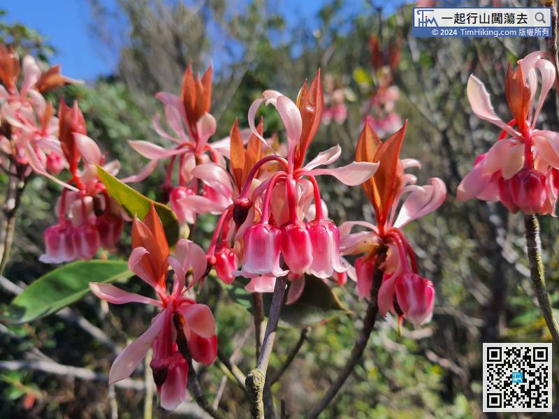
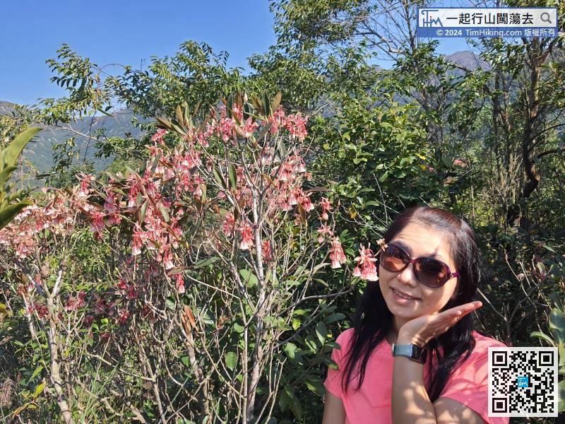
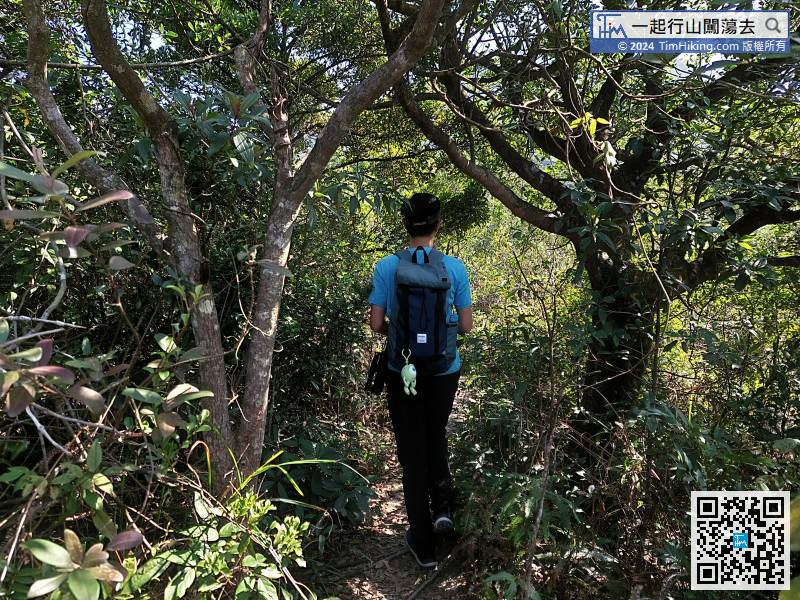
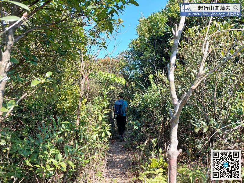
After a short rest, walk in the direction where countless ribbons are tied at the other end.
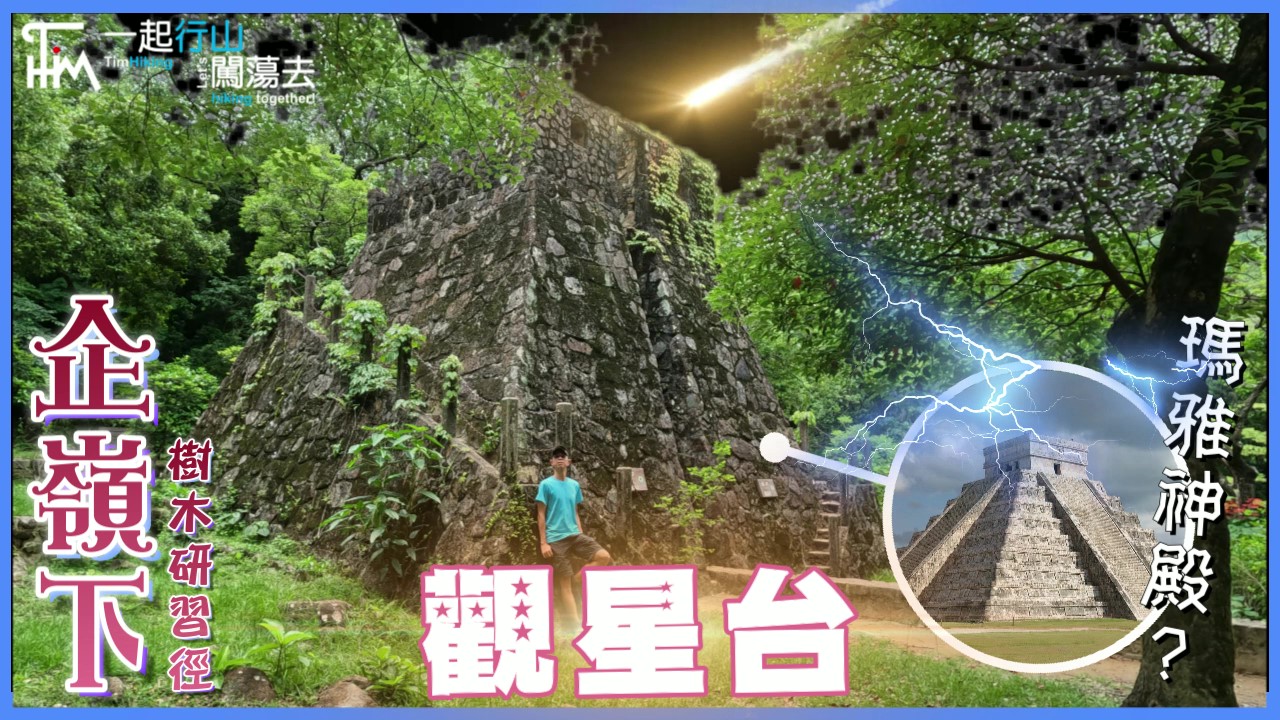
 94︰in addition to the fort inside,
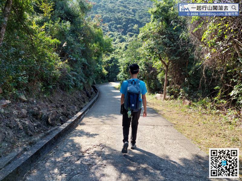


