


 Recommend YouTube


| View : |  | ||
| Difficulty : |  | ||
| Path : | |||
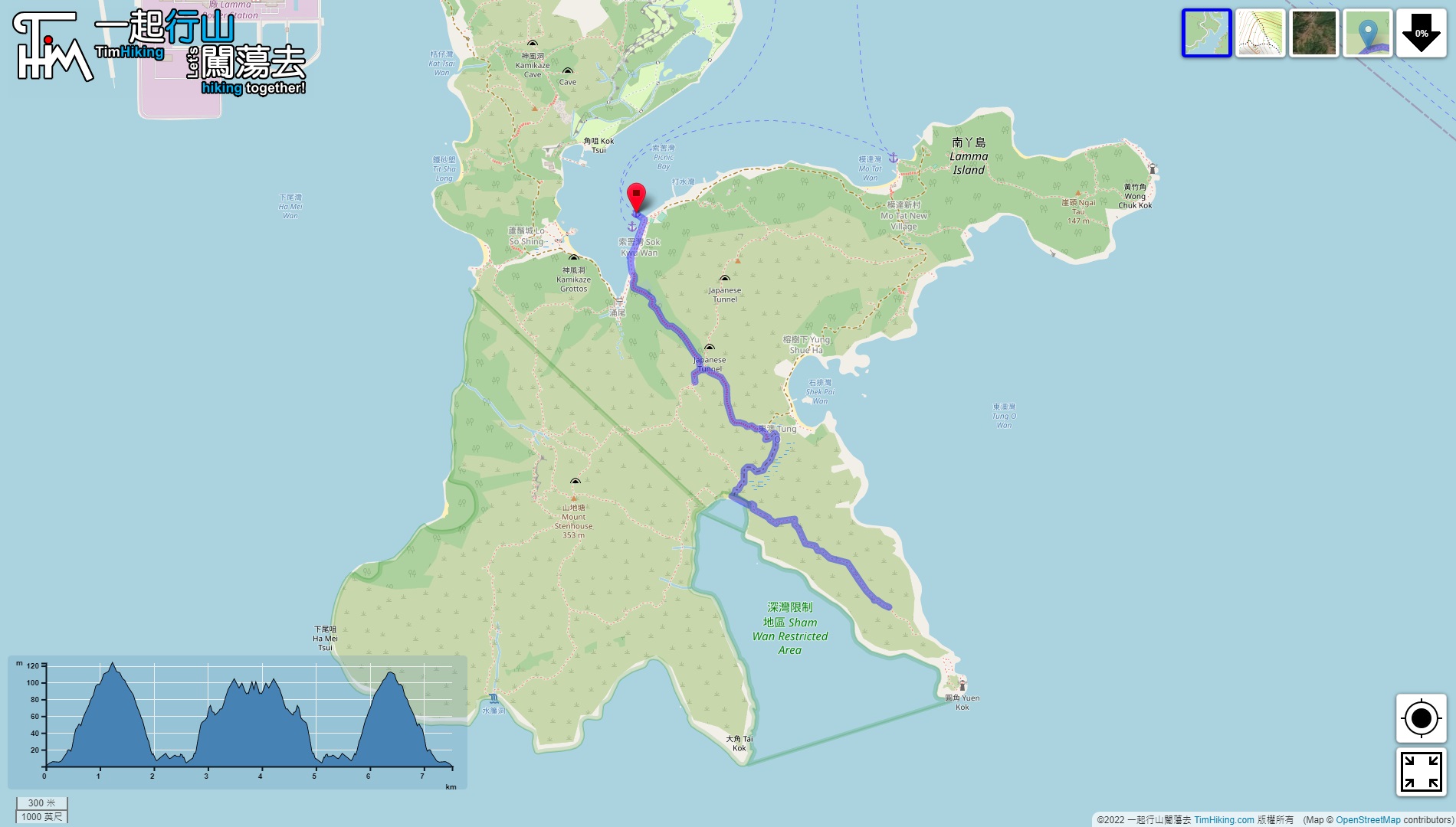
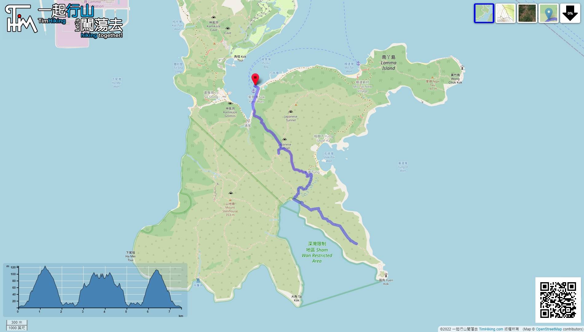
| Length : | 7.6km | ||
| Time : | 4hours | ||
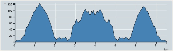 | |
| Ascent : 451m | Descent : 456m |
| Max : 123m | Min : 0m |
| (The accuracy of elevation is +/-30m) | |


 5︰and will find a concrete step on the right. From this point on, will go up the mountain to Sham Wan. Pay attention to this road, the path of Yung Shue Wan is different.
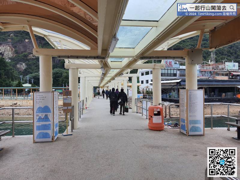
To Lamma Island Sok Kwu Wan, the main ferry is from Central Ferry Pier No.4. Please note that the ferry schedule is less than that of Yung Shue Wan. Hikers may choose to take the Aberdeen Kaito.
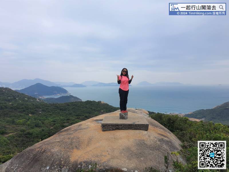
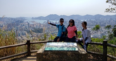
17︰hikers may as well take a look at the scenery. An outing is to wander around and enjoy nature. Do not mind lining on the route or not.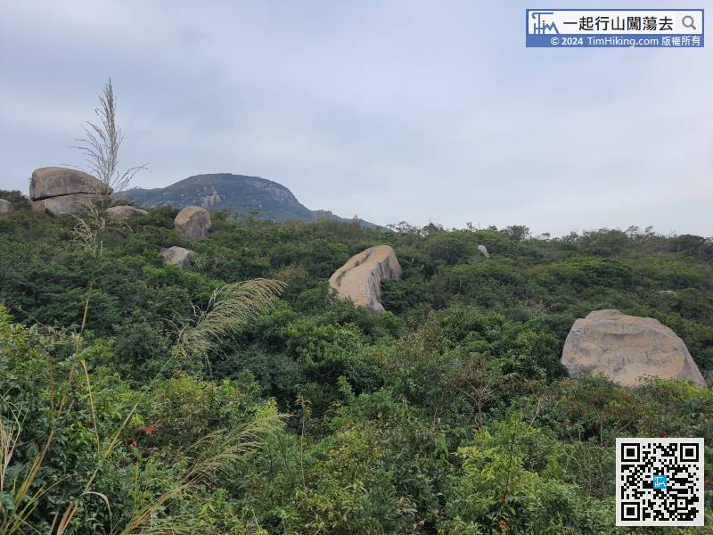
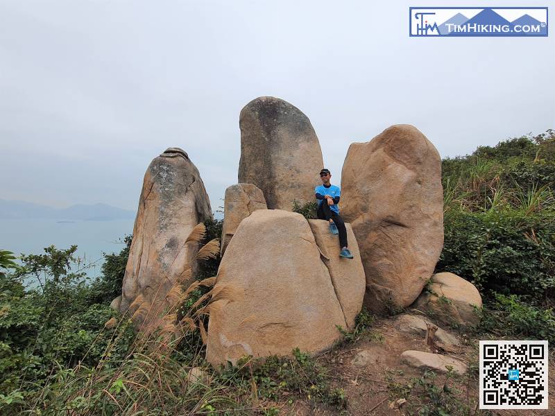
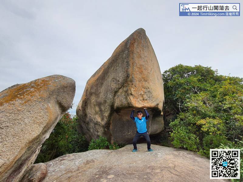
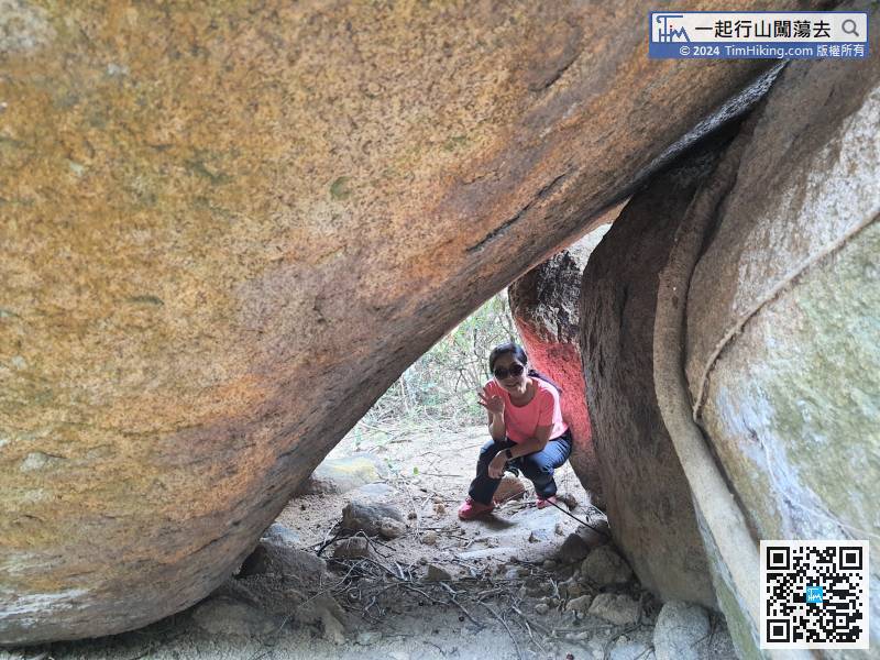
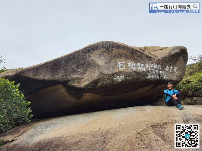
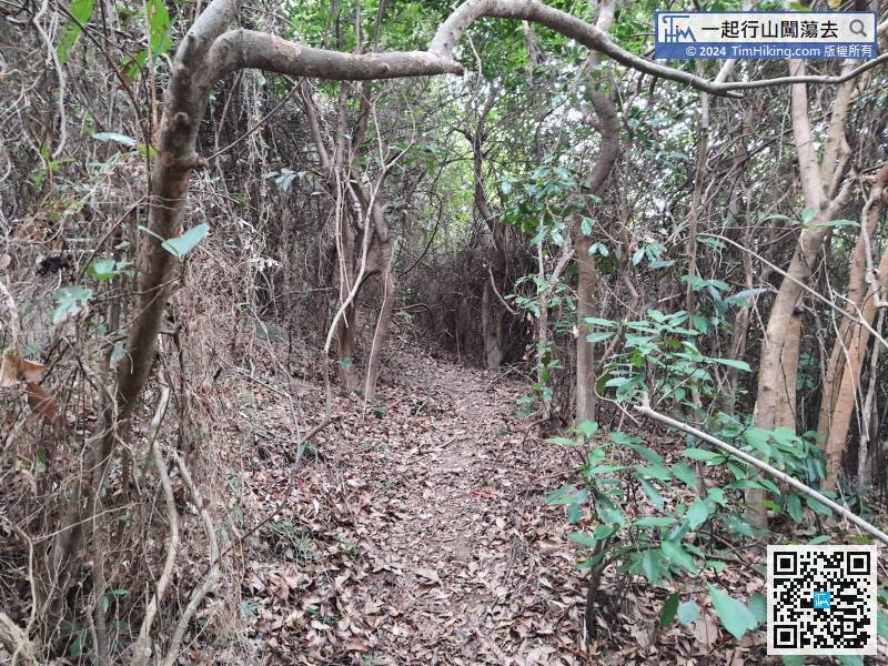
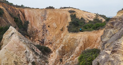
After walking for about 15 minutes, will see the stone scenery on the mountain.
22︰will pass Kei Lau Rock on the way,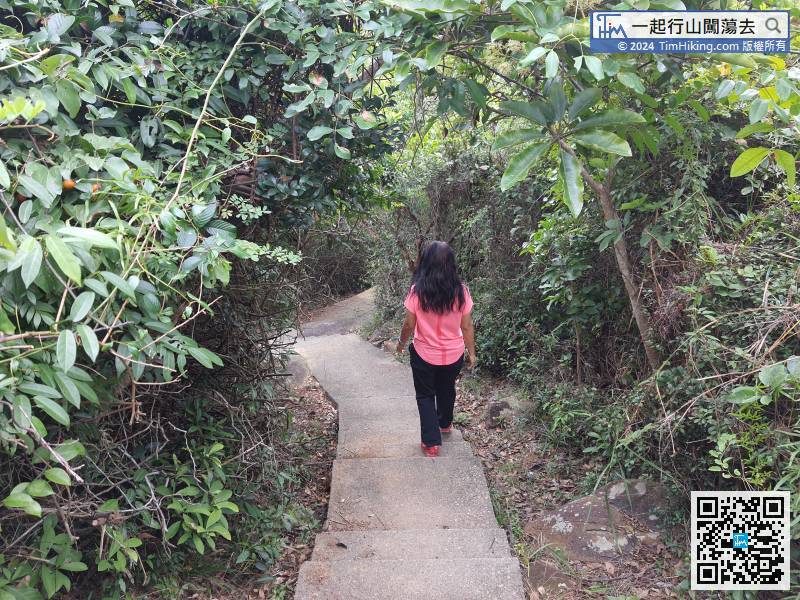 34︰can fall to Sham Wan, Tai Kok on the right,
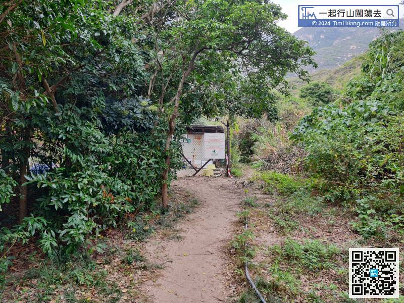
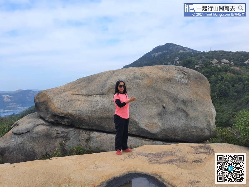
 57︰will see Shark Rock,
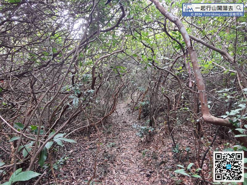
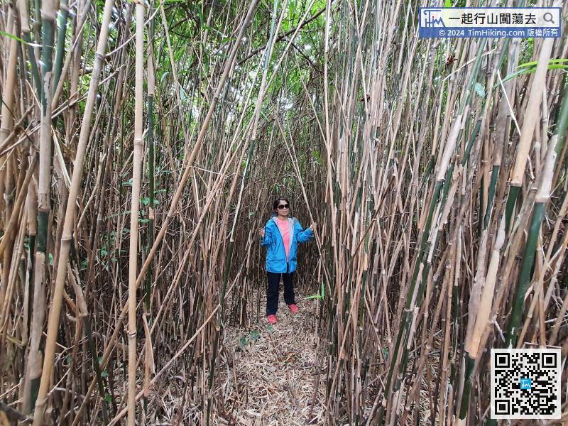
Because of the thorny road, the speed of moving is very slow.
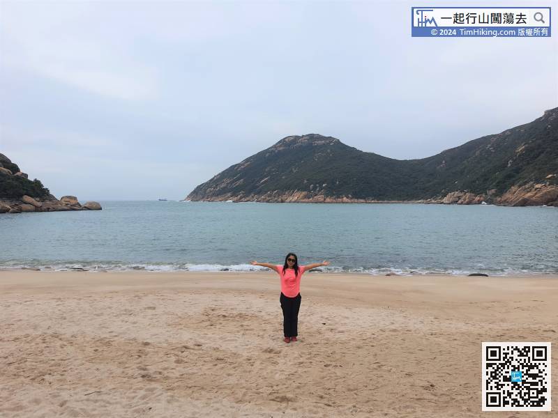
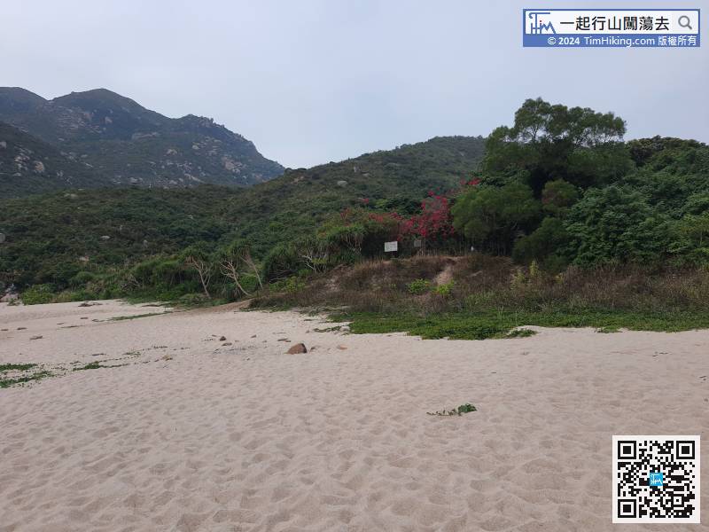
74︰will see the beautiful Yuen Kok coast. The top of the mountain is about 120 meters high. If hikers want to fall to Yuen Kok, have to climb down the same route. However, edge climbing is extremely difficult and the journey is very long. Do not try it.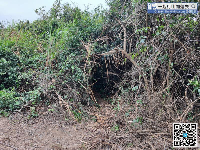


