


 Recommend YouTube


| View : |  | ||
| Difficulty : |  | ||
| Path : | |||
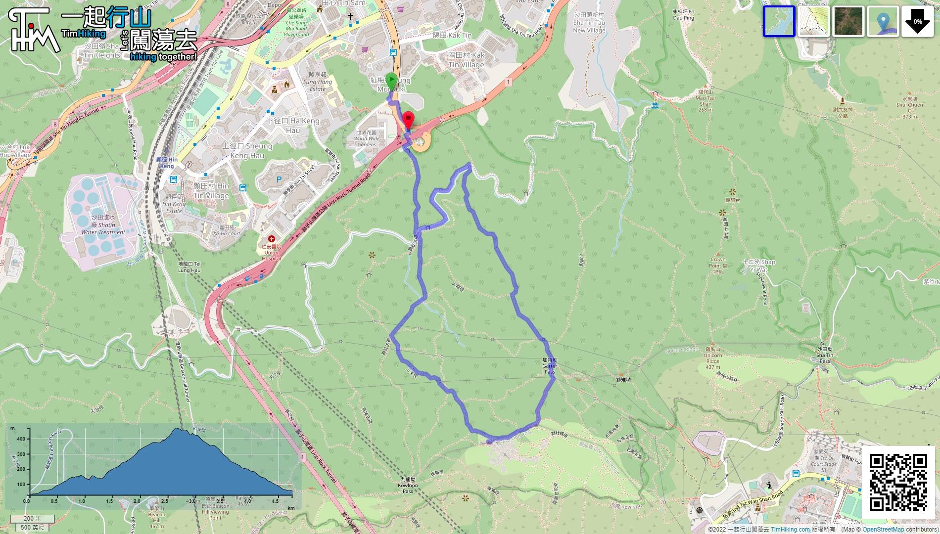
| Length : | 4.8km | ||
| Time : | 3½hours | ||
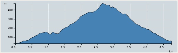 | |
| Ascent : 542m | Descent : 512m |
| Max : 470m | Min : 28m |
| (The accuracy of elevation is +/-30m) | |


First, go to Tai Wai Hung Mui Kuk, hikers can choose to take the bus to World Wide Gardens and get off, or take the MTR Tai Wai Station to get up.
 20︰Pay attention to the location of the wide catchwater bridge,
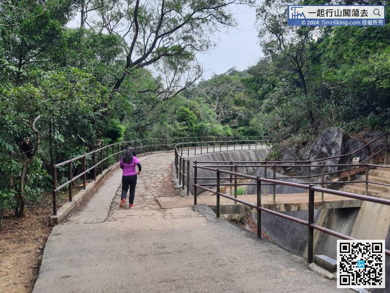
After connecting to catchwater, turn left, but do not need to cross the catchwater bridge.
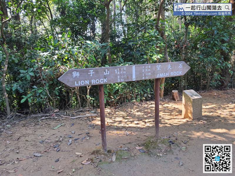
30︰and there are no ribbons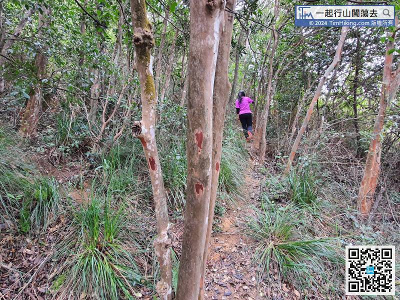 48︰will come to a crossroad.
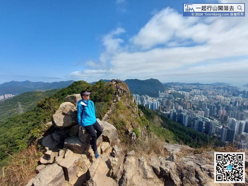
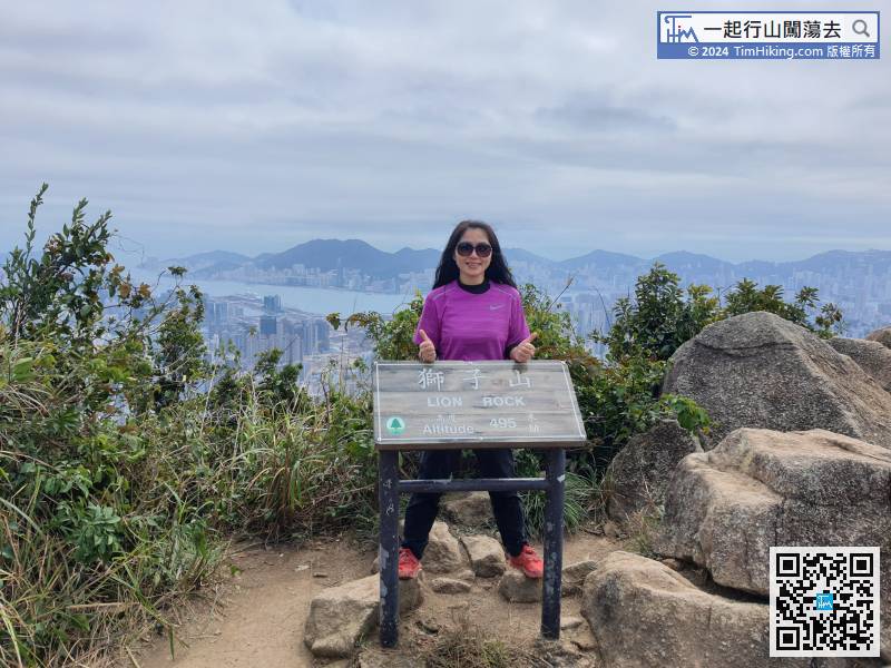
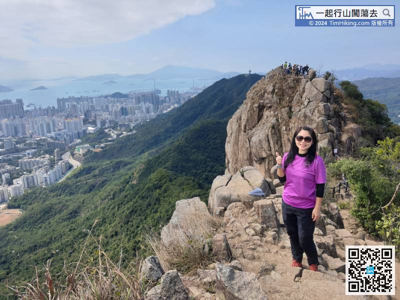
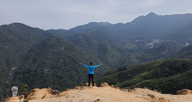
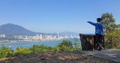
 65︰Lion's Tail is also the highest point of Lion Rock.
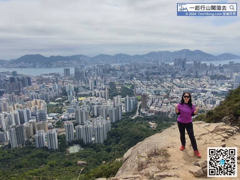
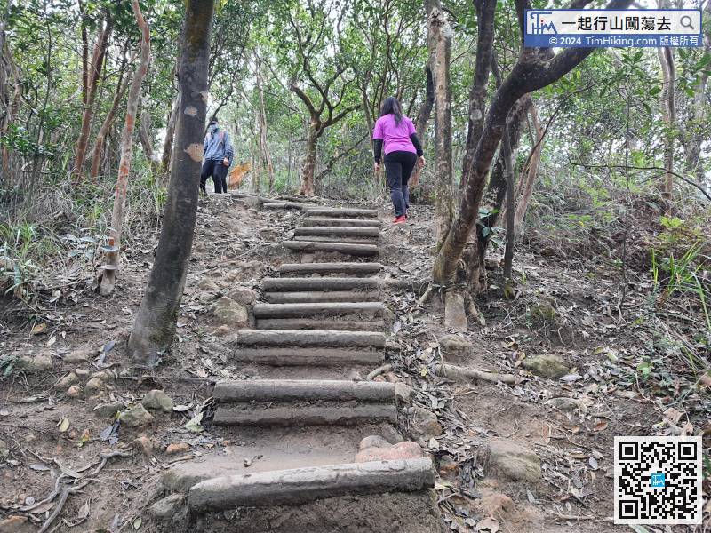 76︰The top of the mountain has a 360-degree view, hikers might as well take a break and enjoy it.
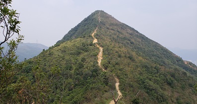
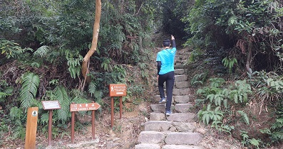
 82︰can find a barren trail going down the mountain.
 90︰and come to another fork.
 107︰About 15 minutes, hikers will reach the fork at the foot of the mountain.
About 15 minutes, hikers will reach the fork at the foot of the mountain.


