


 Recommend YouTube


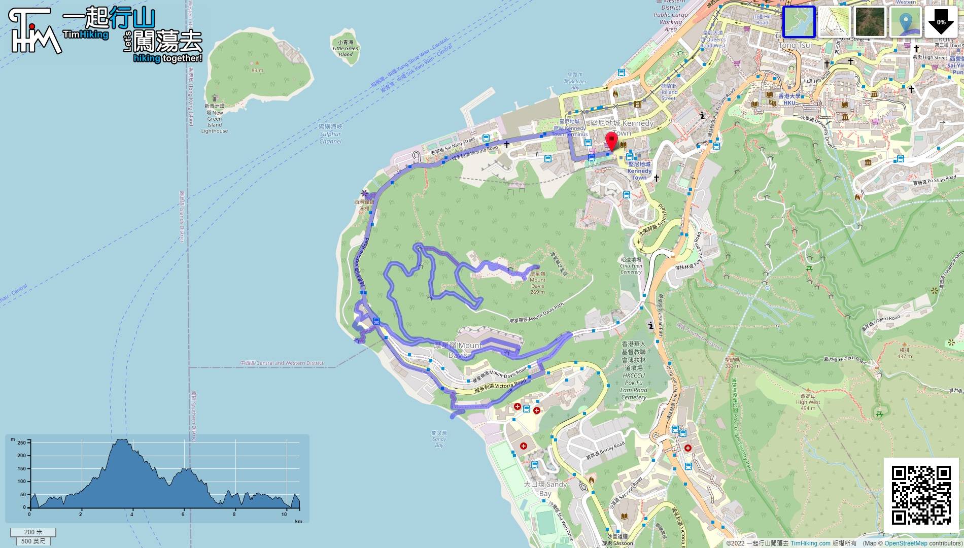
| View : |  | ||
| Difficulty : |  | ||
| Path : | |||
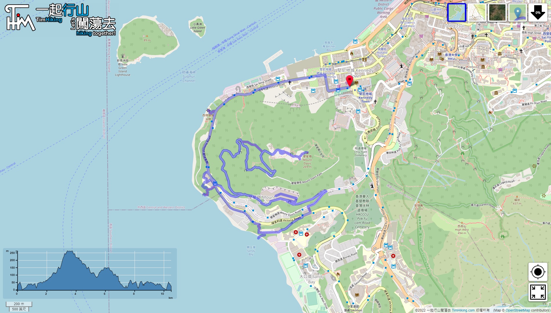
| Length : | 10.6km | ||
| Time : | 3hours | ||
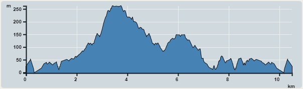 | |
| Ascent : 852m | Descent : 856m |
| Max : 262m | Min : 0m |
| (The accuracy of elevation is +/-30m) | |


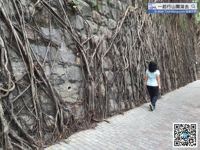
Take the MTR to Kennedy Town, turn left at Exit C, and you will see the Stone Wall Tree,
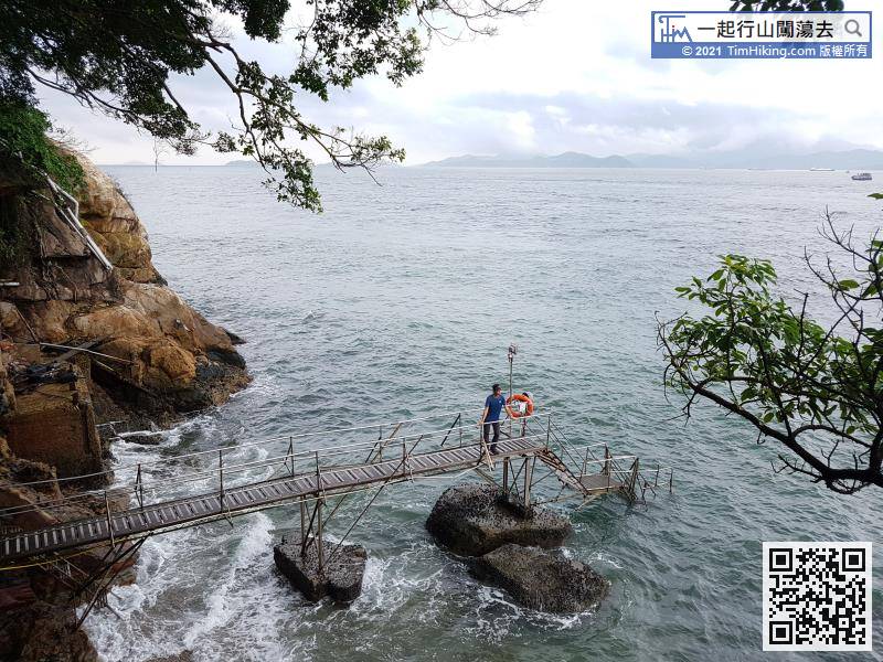
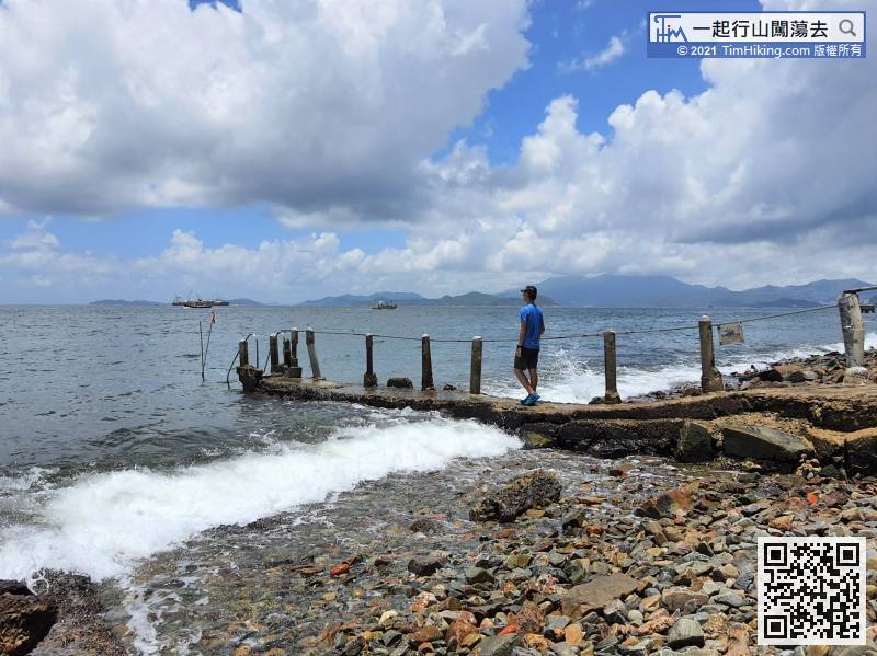
 11︰the waves are constantly beating on the shores, the planks are very slippery.
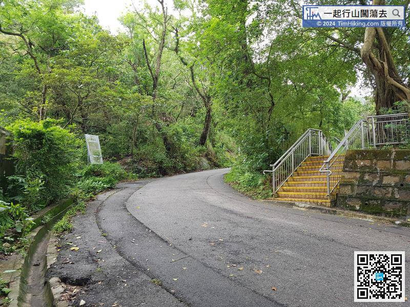
 16︰then turn left and join the Mount Davis Path.
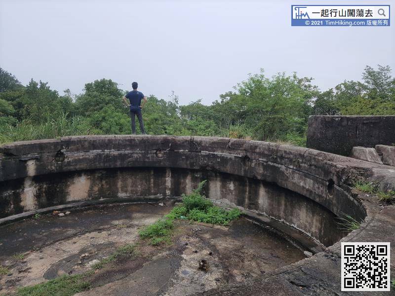
 29︰The fort is very large, it looks similar to the fort of Devil's Peak,
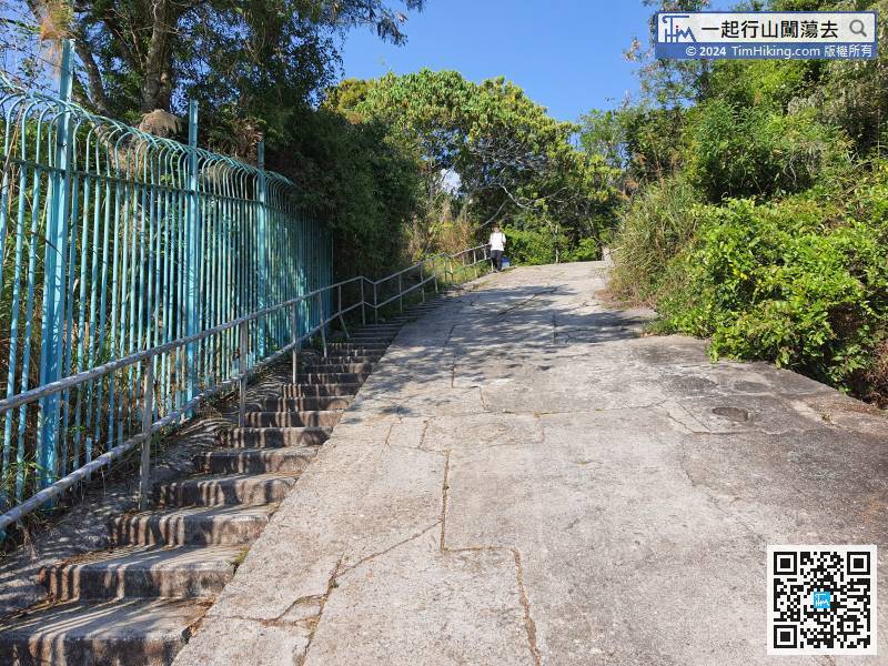 39︰will find the Mount Davis Trigonometrical Station.
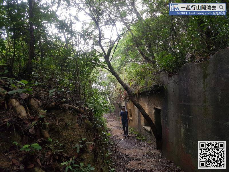
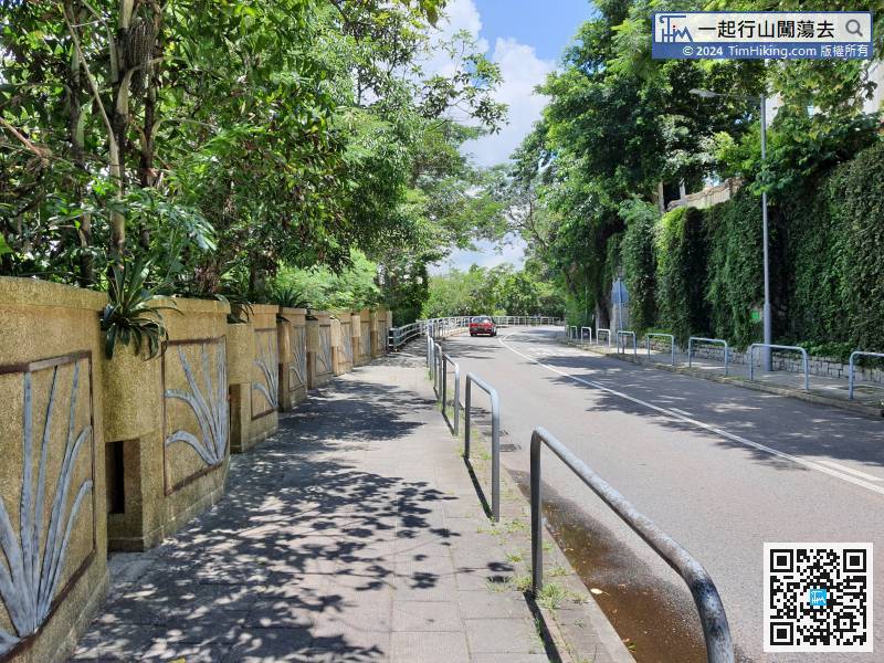
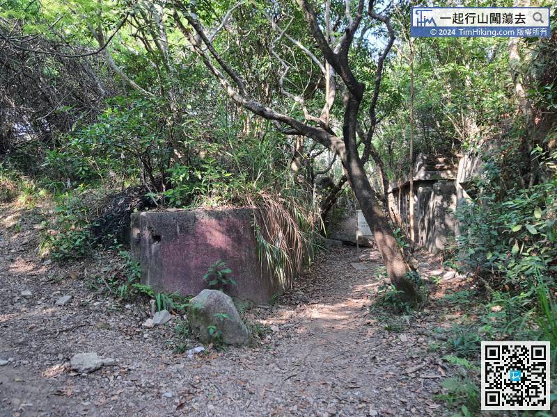 49︰Keep left at the pavilion,
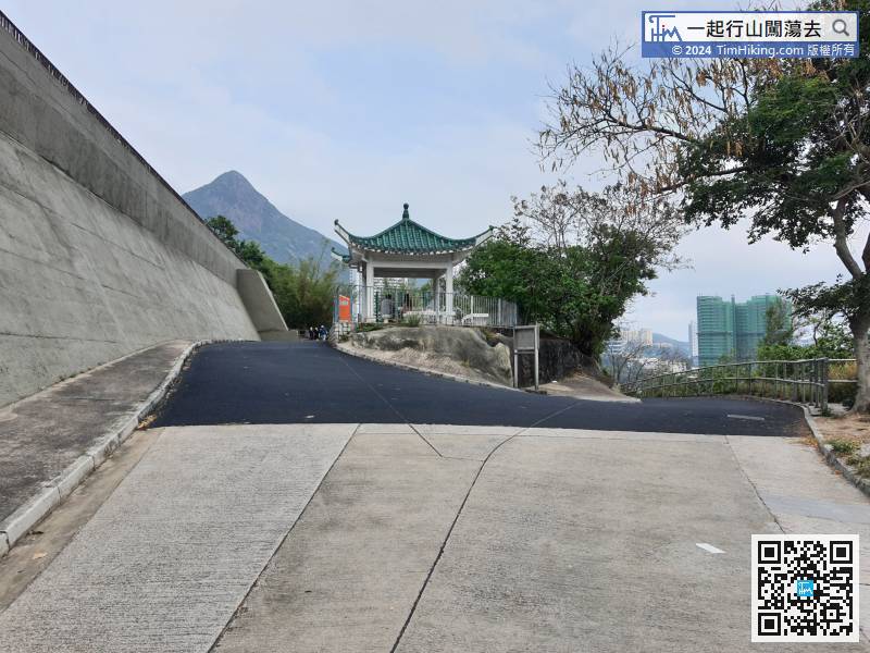 69︰The Sandy Bay Swimming Shed is right in front,
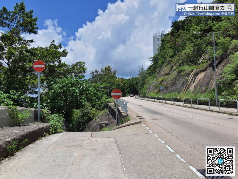
 90︰and reach the gun emplacement.
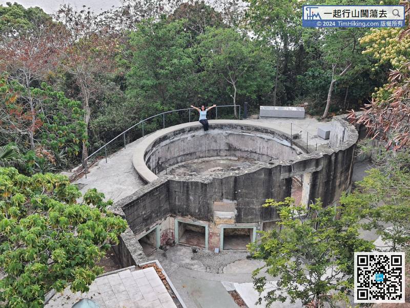
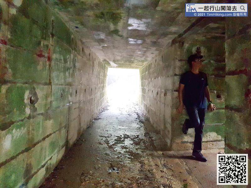
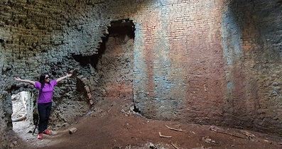
As soon as you enter the university, you can see the ruins of No.2 gun emplacement a few steps ahead.


