


 Recommend YouTube


| View : |  | ||
| Difficulty : |  | ||
| Path : | |||
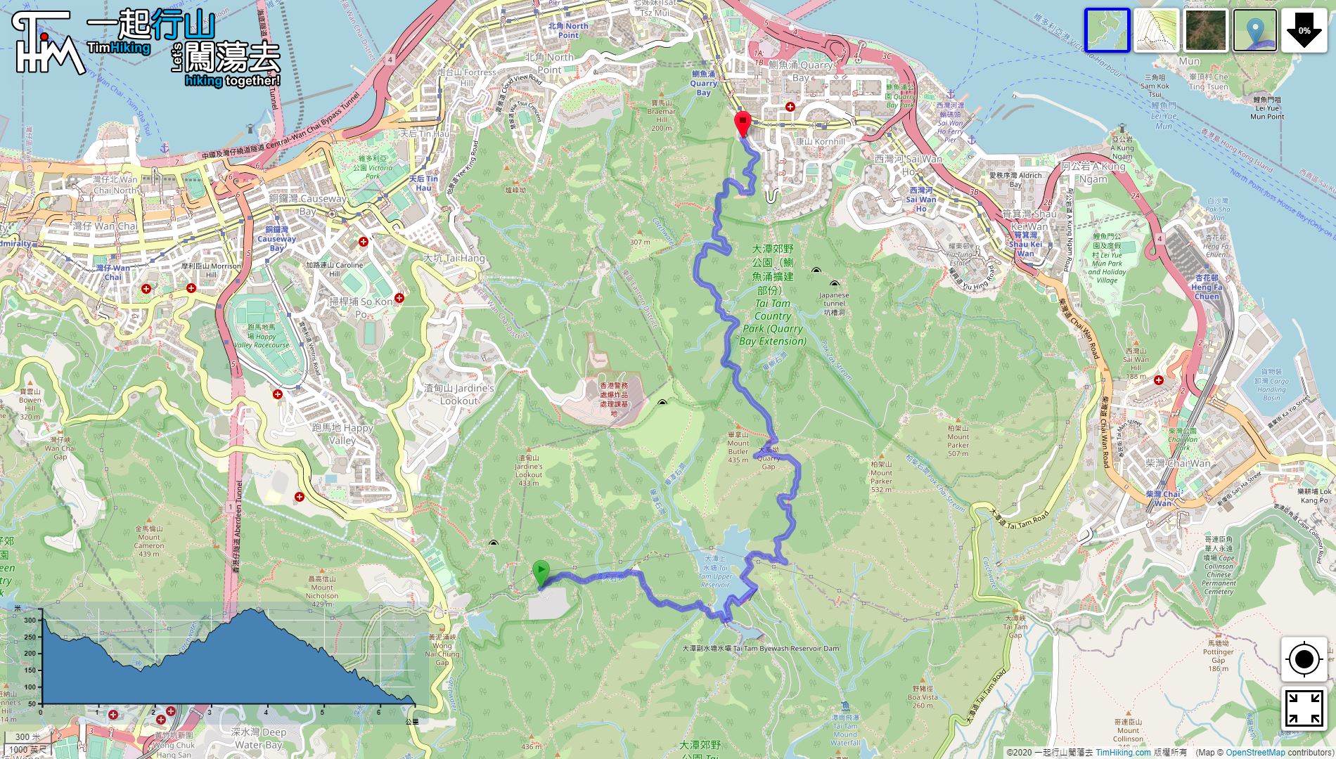
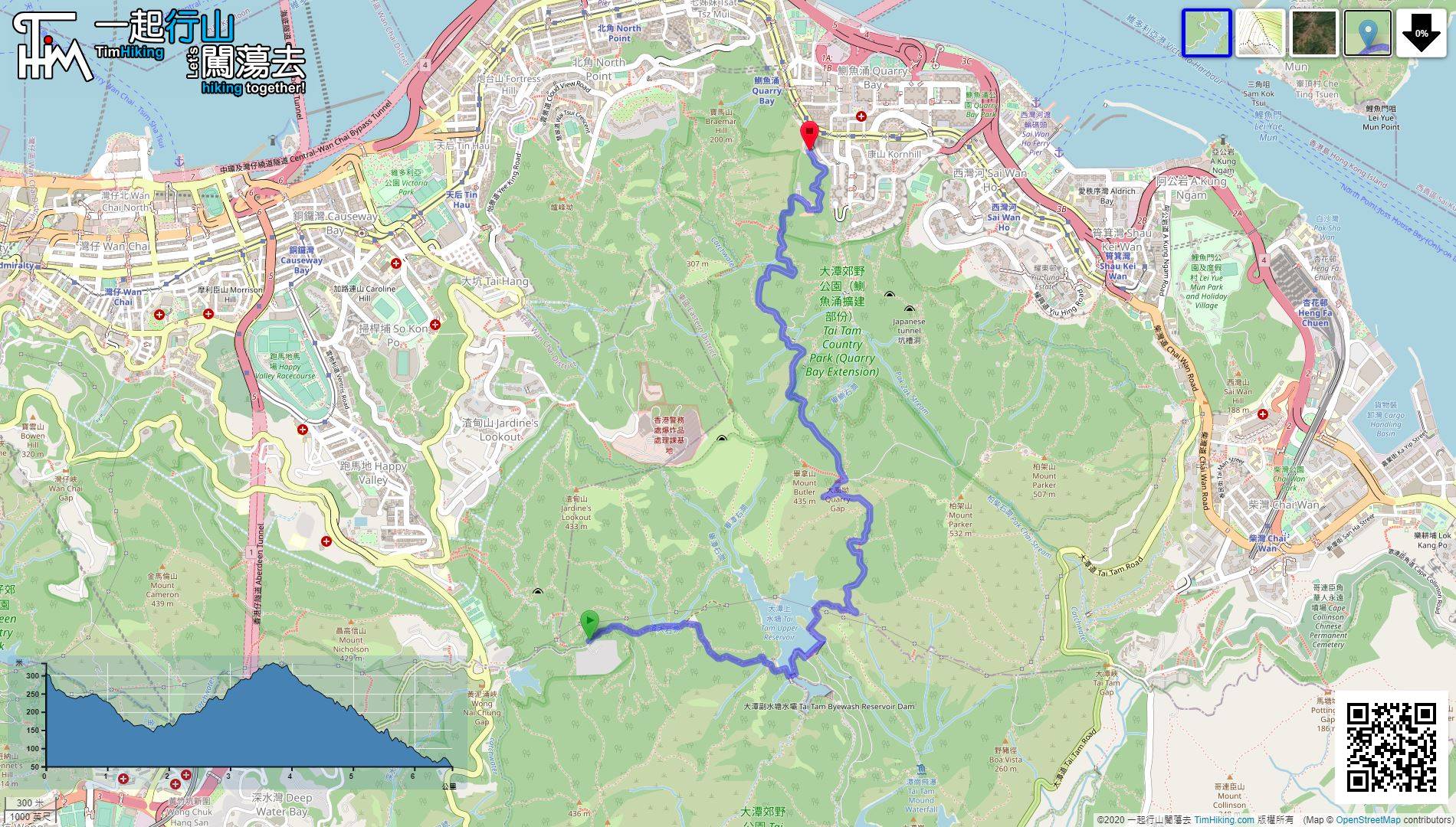
| Length : | 6.7km | ||
| Time : | 3hours | ||
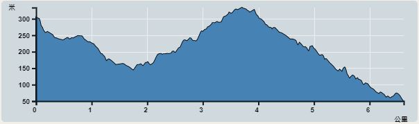 | |
| Ascent : 394m | Descent : 661m |
| Max : 334m | Min : 50m |
| (The accuracy of elevation is +/-30m) | |


 18︰just focus on going down,
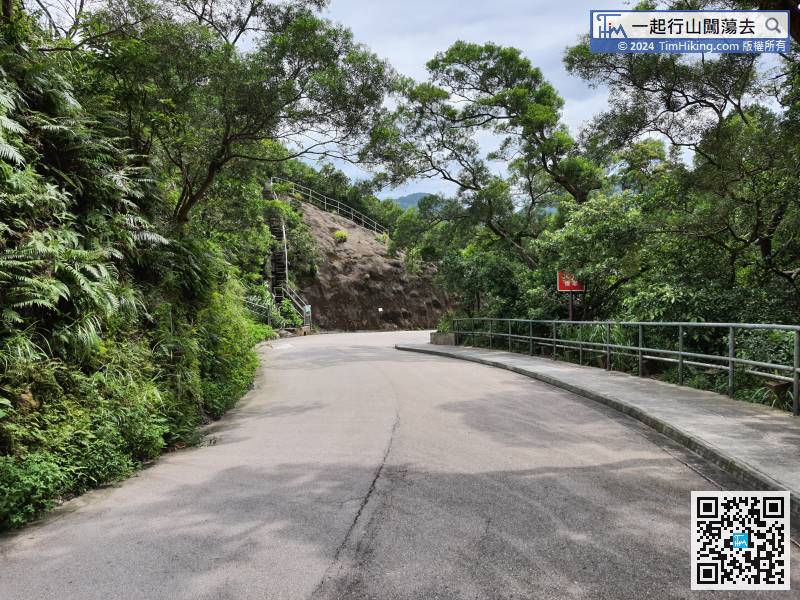
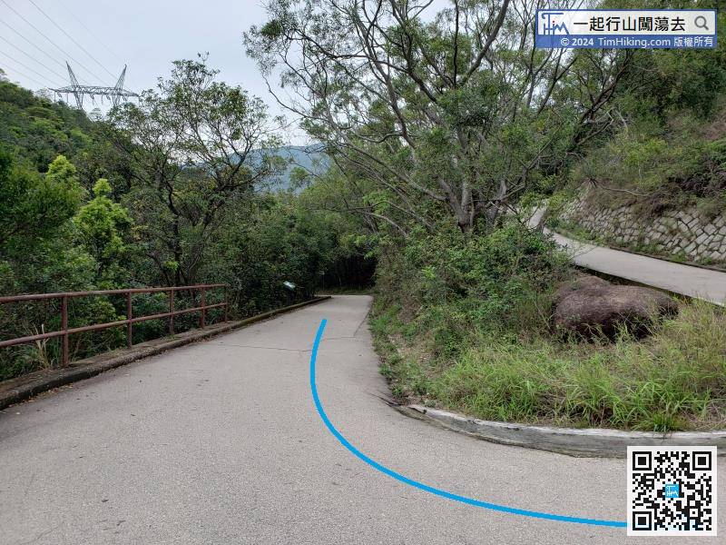
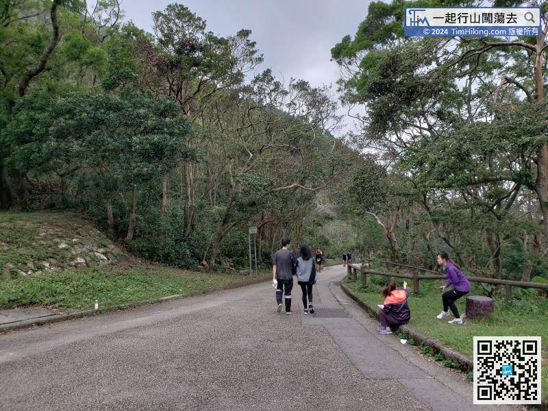
After entering the Tai Tam Country Park, there are all very wide concrete roads,
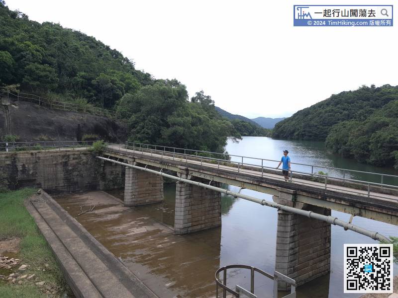
24︰Follow the Tai Tam Upper Reservoir Masonry Bridge which crosses the left-hand side,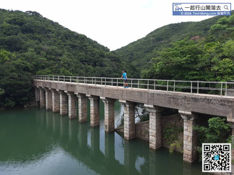
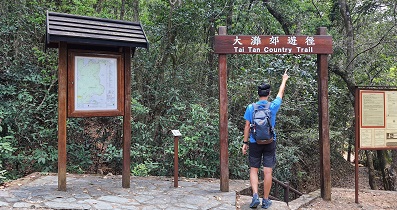
First, go to the Tai Tam Upper Reservoir Masonry Aqueduct on the right-hand side which is a narrower bridge. The other end can go to Tsin Shui Wan Au, the location of the Tsz Kong Bridge.


