


 Recommend YouTube


| View : |  | ||
| Difficulty : |  | ||
| Path : | |||
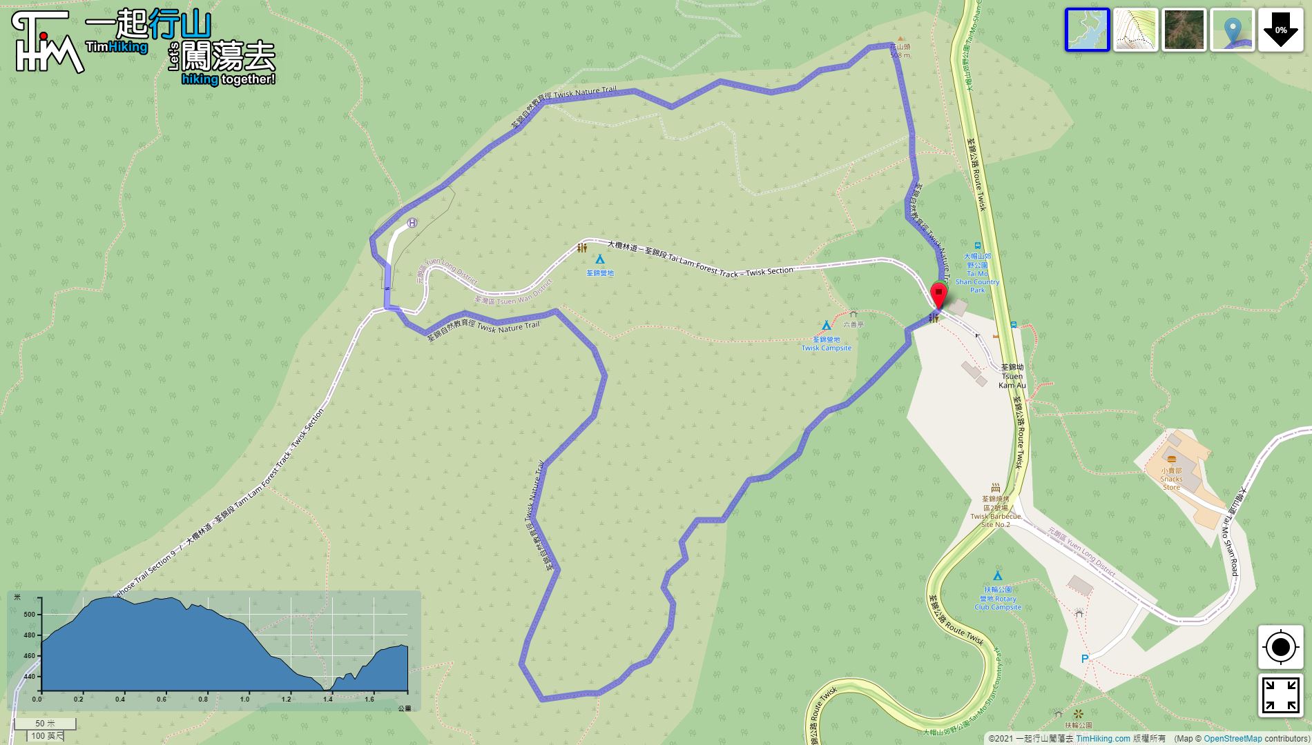
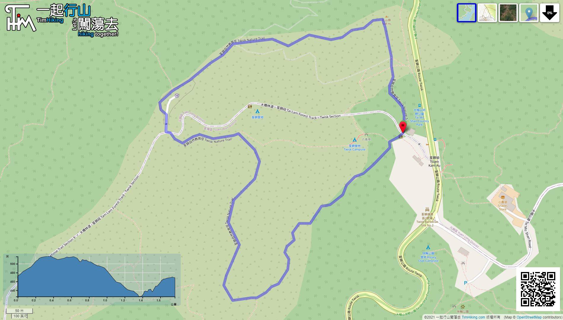
| Length : | 1.8km | ||
| Time : | 1hours | ||
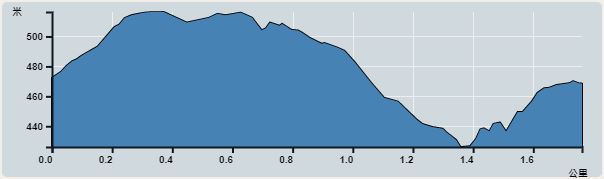 | |
| Ascent : 117m | Descent : 117m |
| Max : 512m | Min : 425m |
| (The accuracy of elevation is +/-30m) | |


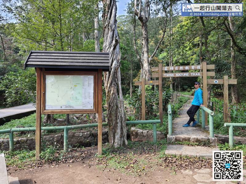
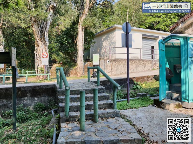
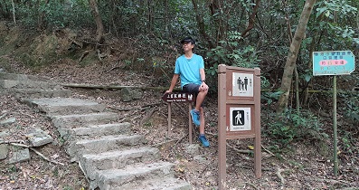
 6︰which is the starting point of the Tsuen Kam Nature Trail.
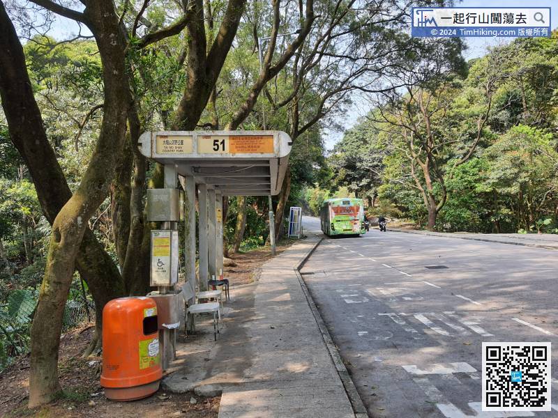
The starting point is near Tai Mo Shan Country Park. Hikers can take bus 51 to get there and get off at Tai Mo Shan Country Park bus stop.
12︰do not walk around at the suspected bifurcation, just take the clearest and widest trail.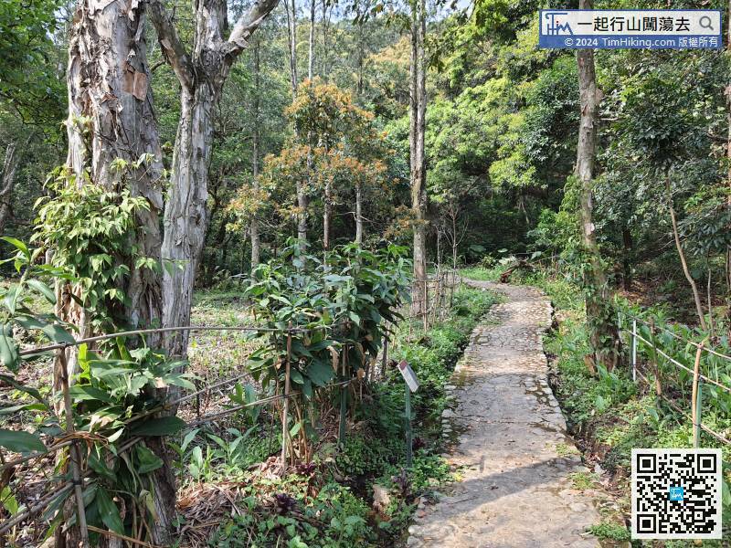 17︰Then, go up obliquely on the right,
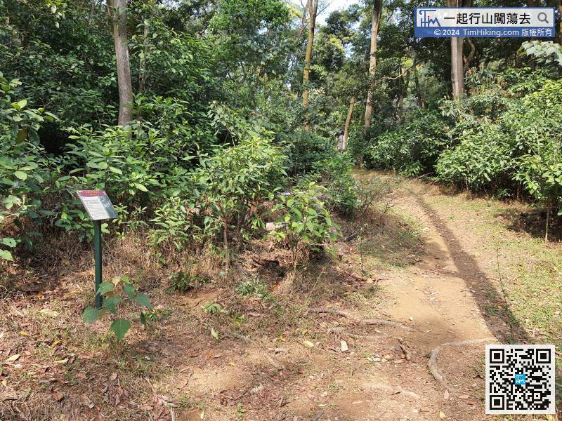 25︰and you will meet the mountain bike trail on the way. Be careful of the bikes, be courteous,
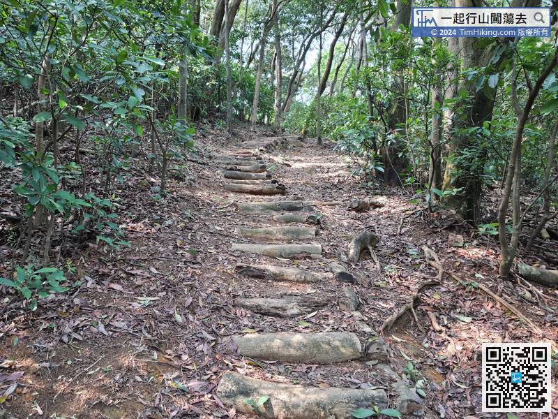 32︰and then walk to the opposite downhill path at the crossroads.
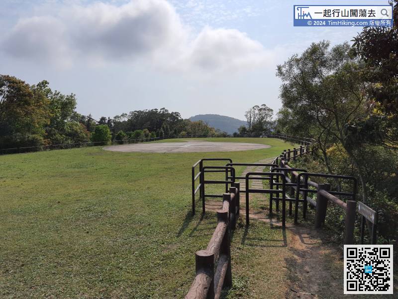 38︰After a section of tree-lined trails,
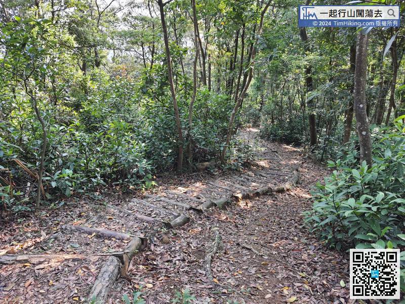
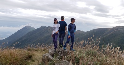
Continue to go down the trail. As the trail is a big circle, so there is down and up.
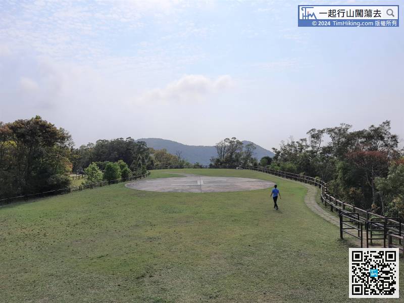
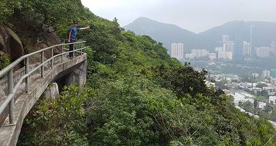
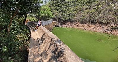
44︰The view at the viewing point is pretty good.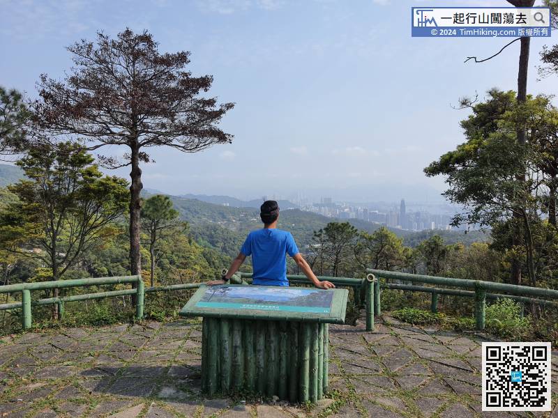
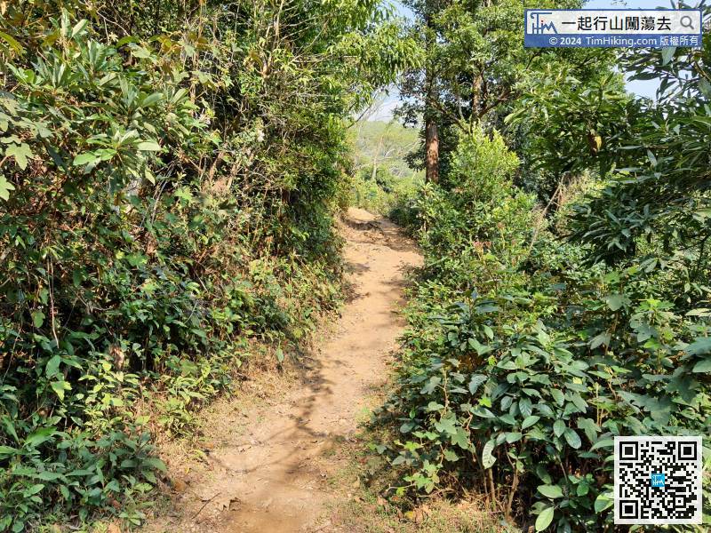
This completes the Tsuen Kam Nature Trail. Take a big circle and return to the starting point. The distance is about 2km.


